
Aguas Calientes (Machu Picchu Pueblo)


The train tracks run straight through the middle of Aguas Calientes, and that detail tells you almost everything. There is no road in — the Urubamba valley is too narrow for one — so the railway is not infrastructure so much as lifeline. Consettur buses leave from just above the station every twenty minutes before dawn, climbing the switchbacks to Machu Picchu. Most visitors are on them.
What remains below is a compact, cloud-forest town of hot springs, stone sculptures, a butterfly house that has been running for fifty years, and restaurants where prices are the highest in Peru. It is a place that earns its keep as a base, and rewards the traveller who lingers a few extra hours to find the residential streets beyond the tourist strip.
💛 What travellers fall for
People who come back tend to walk the tracks toward Mandor Waterfall early, before the buses fill up — the first half of that path was originally cleared for a banana plantation, and it shows. They also make it to the hot springs on Hermanos Ayar Street before 7am, when the pools are quieter and the mist is still sitting in the valley.
Experiences you don't want to miss


Deals in Aguas Calientes (Machu Picchu Pueblo)
Book directly at the provider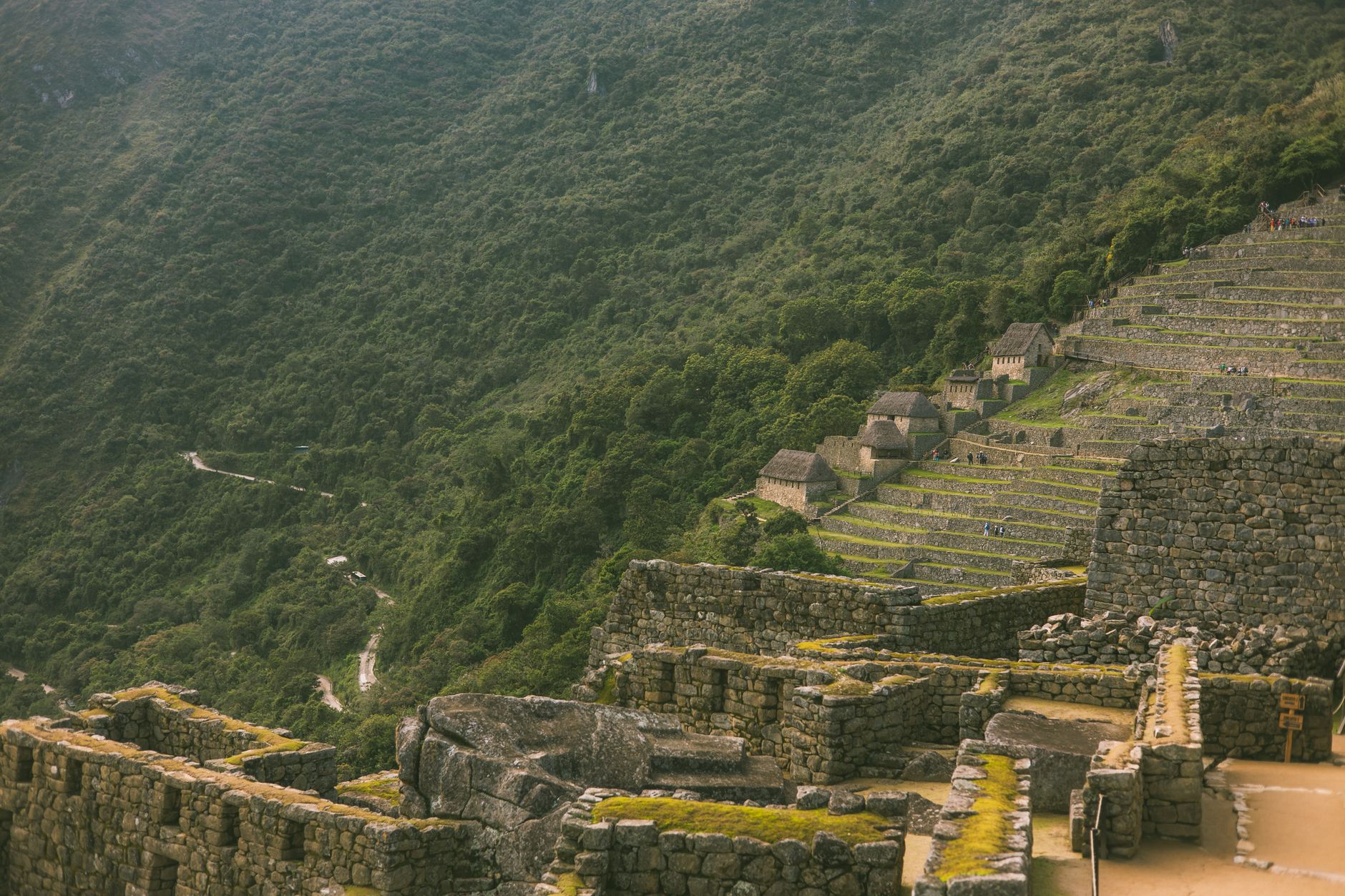

How Aguas Calientes (Machu Picchu Pueblo) came to be
Farm families were the first to settle here, in 1901. The place only acquired a proper identity when railroad construction turned it into a workers' camp called Maquinachayoq in the late 1920s — a name that reflected its function rather than any civic ambition. The line was completed in 1931, connecting the valley to Cusco and, eventually, to the wider world.
The town's formal existence came on 1 October 1941, when Law No. 9396, signed under President Manuel Prado Ugarteche, established it as Machu Picchu Pueblo. For decades it remained small. Tourism began accelerating in the 1970s as international visitors arrived for the ruins above, and the town has been reconfiguring itself around that flow ever since.
Who and what shaped it
Landmark buildings
See Aguas Calientes (Machu Picchu Pueblo) in motion
Plan your visit
On the map
When to go
The dry season, May through October, brings the sunniest days and the lightest rain — this is also when the town is busiest. November through April is cloud-forest wet, with January and February the most persistent for showers; the ruins can be spectacular in mist, but expect mud and reduced visibility. Temperatures stay between roughly 16°C and 21°C year-round.
Right now
Background & history adapted from Wikipedia (CC BY-SA) · specs from Wikidata (CC0) · weather from Open-Meteo · map data © OpenStreetMap contributors · photos from Wikimedia Commons / Unsplash with per-image credit. No third-party reviews or social posts reproduced.