
Agerola
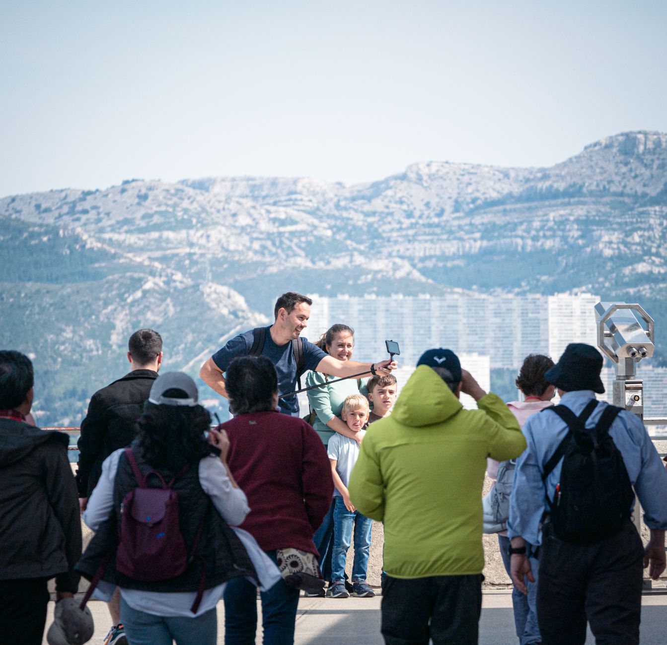
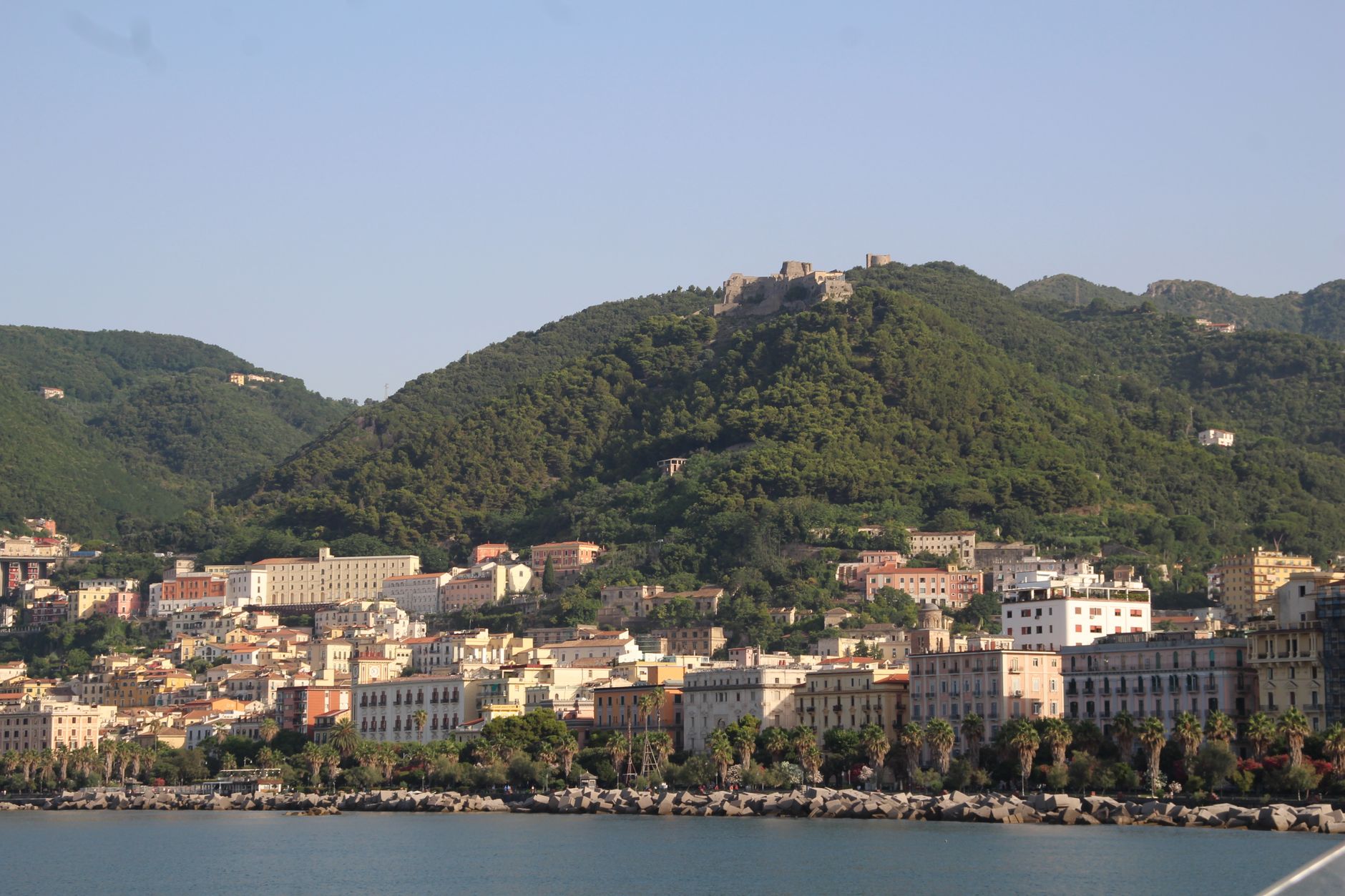
Agerola sits at 600 metres above the Amalfi Coast, which means you arrive not by boat or clifftop road but by a bus that climbs through chestnut forest until the sea appears far below, flat and blue as a tile. The town is actually six separate hamlets — Bomerano, Campora, Pianillo, Ponte, San Lazzaro, Santa Maria — spread across a plateau that the Romans called *ager*, simply 'field', because people have been farming it for two millennia.
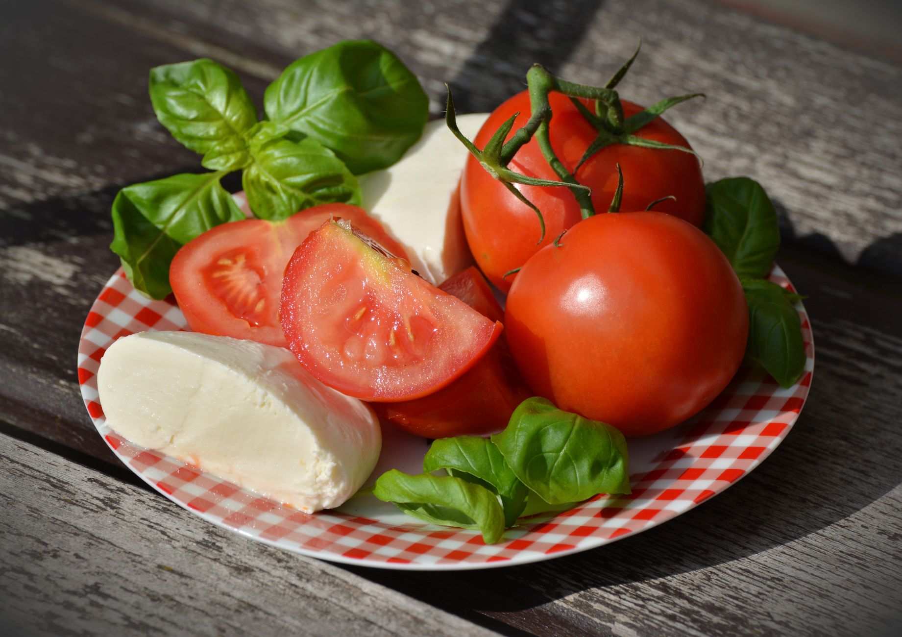
Most visitors pass through Bomerano to walk the Sentiero degli Dei, the Path of the Gods, which drops eight kilometres down to Nocelle above Positano. That trail is the reason many people come, but the plateau itself rewards slower attention: a 12th-century church documented before the Republic of Amalfi fell, a medieval castle on a hilltop above San Lazzaro, and cheese made from milk that Galen once praised in writing.
💛 What travellers fall for
People who return tend to start in Bomerano early — the Path of the Gods gets crowded by mid-morning in spring. They also mention the Varrone delle Ferriere trail toward Amalfi through the Vallone dei Mulini as the quieter, less photographed alternative, passing waterfalls and the ruins of old mills before the coast road appears below.
Experiences you don't want to miss


Deals in Agerola
Book directly at the provider


How Agerola came to be
Settlement here goes back to an Iron Age necropolis found in Via Casalone in Bomerano, and by the 3rd century BC Roman refugees from San Cipriano Picentino had put down roots on the plateau. The town's dairy reputation came early: after Vesuvius erupted in 79 AD, the surrounding land shifted toward pasture, and the milk produced here was good enough that both Galen the physician and Emperor Commodus commented on it.
Through the Middle Ages, Agerola's five districts fed the Republic of Amalfi with timber, wool, and silk — the forests that sheltered 17th-century brigands had once supplied naval arsenals. Bourbon tax reforms in the 18th century brought relative calm and population growth. The town was the first in its province to adopt the Partenopeian Republic's constitution during the French Revolutionary period, and silk manufacture continued until Italian unification. In 1844, General Paolo Avitabile — who has a square named after him in San Lazzaro — secured Agerola's formal integration into the municipality of Naples.
Who and what shaped it
People who shaped it
Landmark buildings
See Agerola in motion
Plan your visit
On the map
When to go
Spring brings the best conditions: mild days around 18–20°C, the trails dry, and the plateau edged with colour. Summers are warm and mostly clear but short — August peaks near 28°C — and winter runs long, cold, and wet, with the coldest nights dropping to around 9°C in February.
Right now
Background & history adapted from Wikipedia (CC BY-SA) · specs from Wikidata (CC0) · weather from Open-Meteo · map data © OpenStreetMap contributors · photos from Wikimedia Commons / Unsplash with per-image credit. No third-party reviews or social posts reproduced.