
Zhangye Danxia Landform
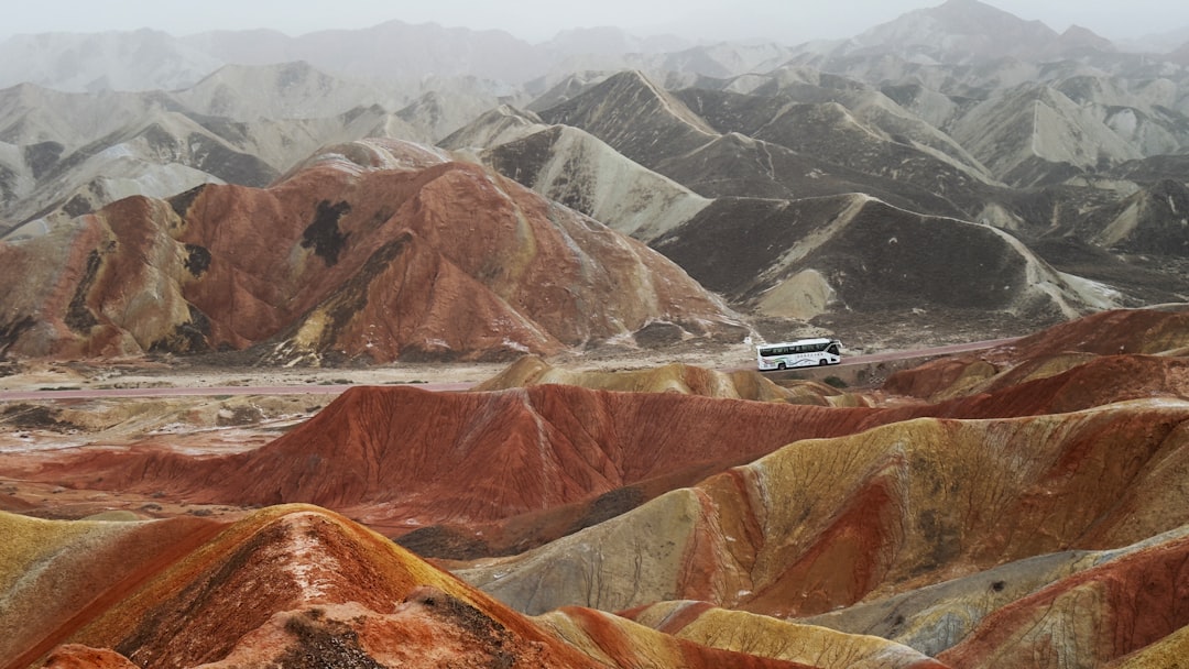

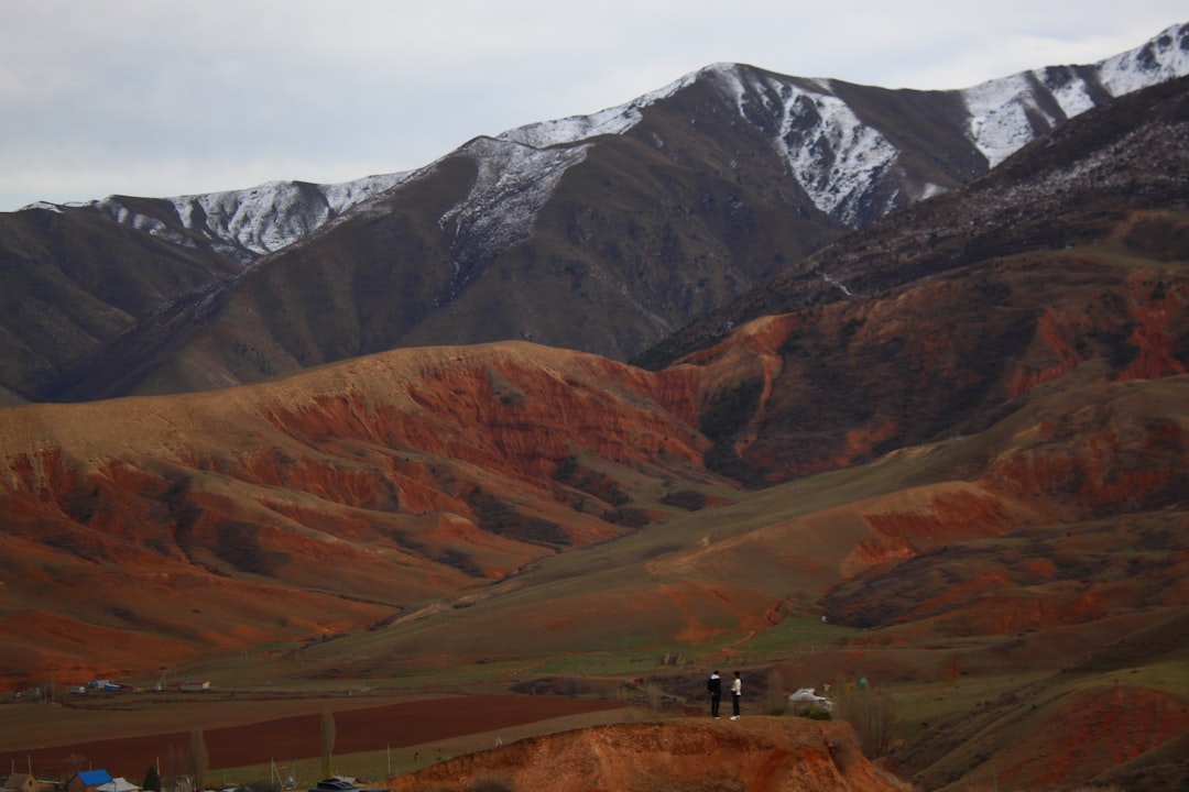
The hills here look like someone layered them with pigment — deep iron-red banded against grey, orange-yellow, and a cool phosphatic blue-grey — then left them to weather into rounded domes and ridges across 322 square kilometres of the Gansu corridor. The colours are geological fact: 24 million years of sandstone deposits, each stratum stained by a different mineral mix, then slowly exposed by erosion.
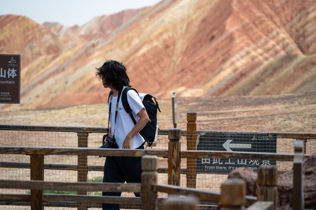
You move through the park on a shuttle bus, stepping off at five numbered platforms built on higher ground. The scale only registers when you're up there and the stripes continue to every horizon, uninterrupted.
How Zhangye Danxia Landform came to be
The landform took shape across roughly 130 million years, from around 200 to 70 million years ago, as repeated environmental shifts laid down sandstone and sediment in distinct layers. Iron oxidation during the mid-Cretaceous period gave the ferruginous layers their red; argillaceous deposits went grey; volcanic material turned orange-yellow. The result sat largely unrecorded until 2000, when a farmer named Lei Yixing and a journalist brought it to public attention through a newspaper report.
Formal recognition followed in stages: a 2005 vote by journalists from 34 major Chinese media outlets named it among the country's finest Danxia landscapes; the site was provisionally designated a geopark in April 2012, formally gazetted as Zhangye National Geopark in June 2016, and admitted to the UNESCO Global Geoparks network in 2019.
Who and what shaped it
People who shaped it
Landmark buildings
See Zhangye Danxia Landform in motion
Plan your visit
On the map
When to go
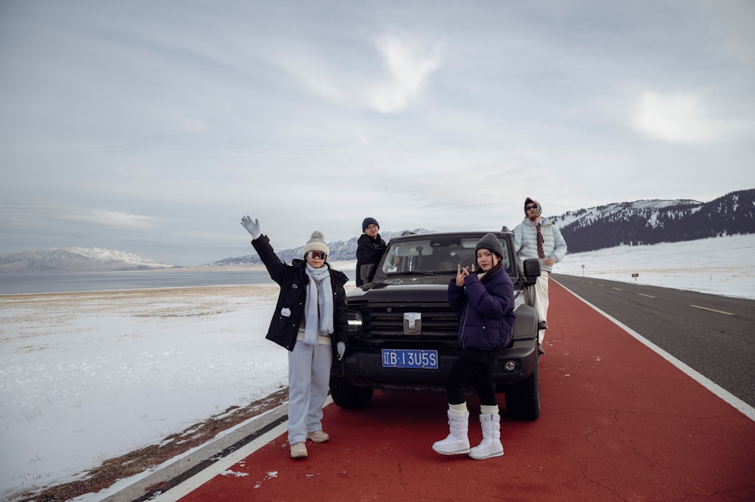
Summer (June–August) is the most visited season and brings the best chance of post-rain showers that saturate the colours, but also afternoon heat above 30°C. Spring and autumn offer cooler, clearer days; winters are cold and dry, with temperatures frequently below freezing, though the low crowds and occasional snow against the red rock have their own appeal.
Right now
Background & history adapted from Wikipedia (CC BY-SA) · specs from Wikidata (CC0) · weather from Open-Meteo · map data © OpenStreetMap contributors · photos from Wikimedia Commons / Unsplash with per-image credit. No third-party reviews or social posts reproduced.