
Zhangjiajie
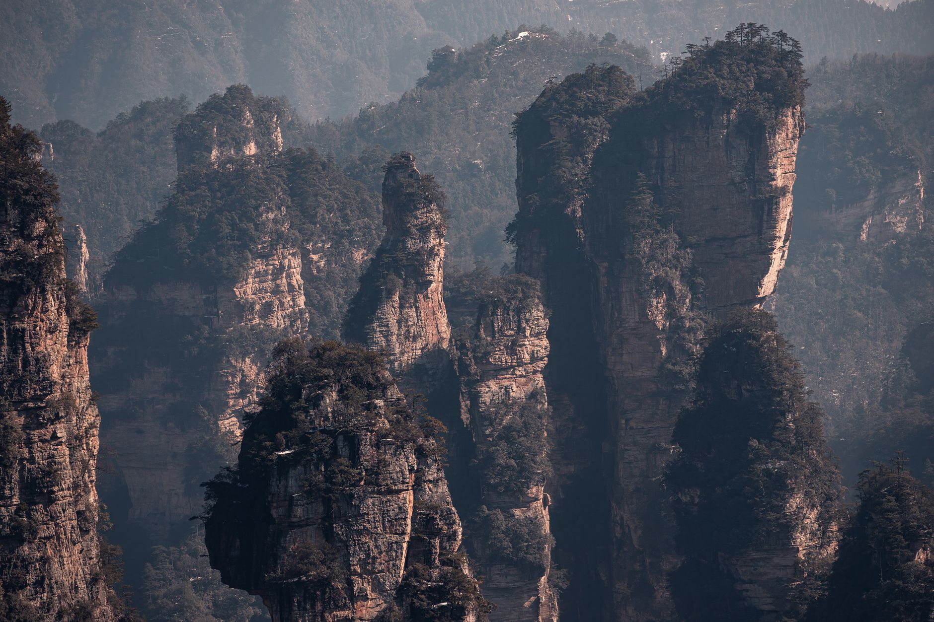
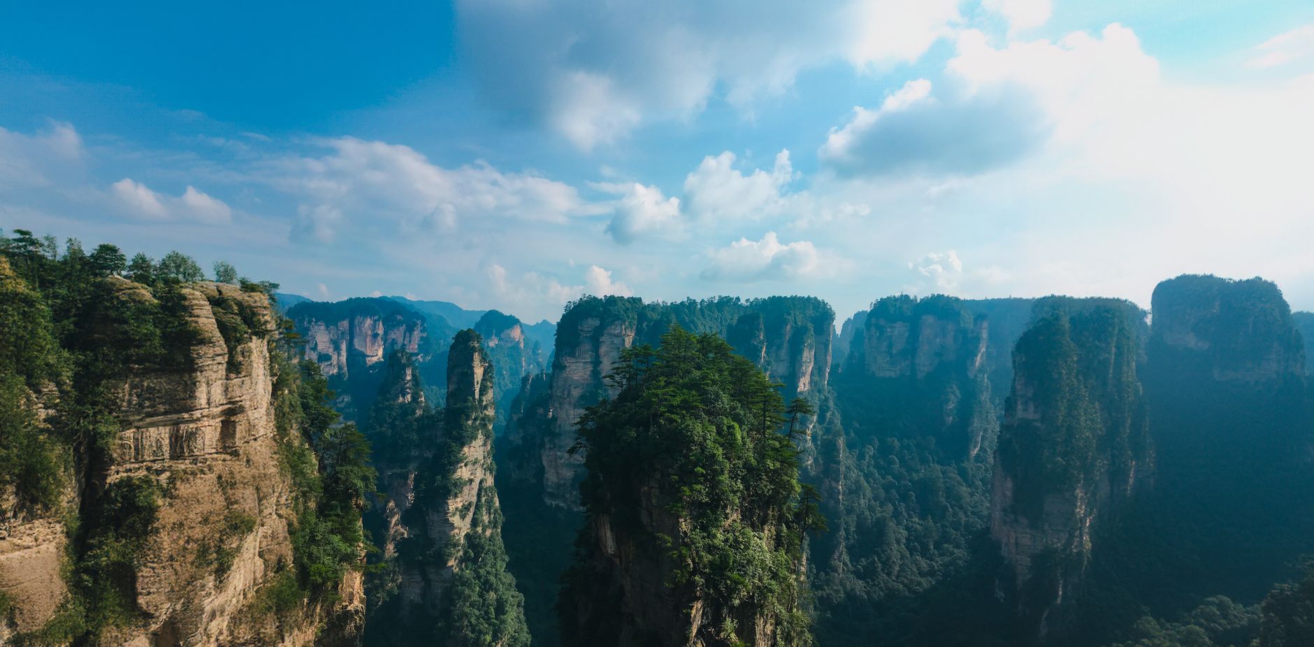
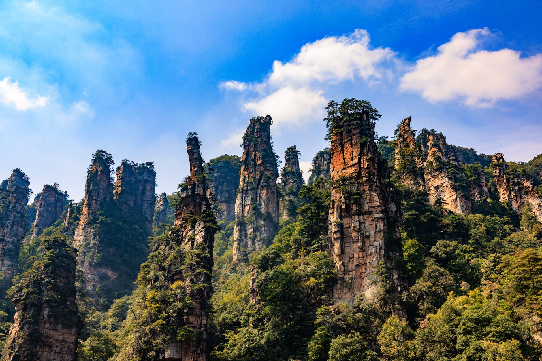
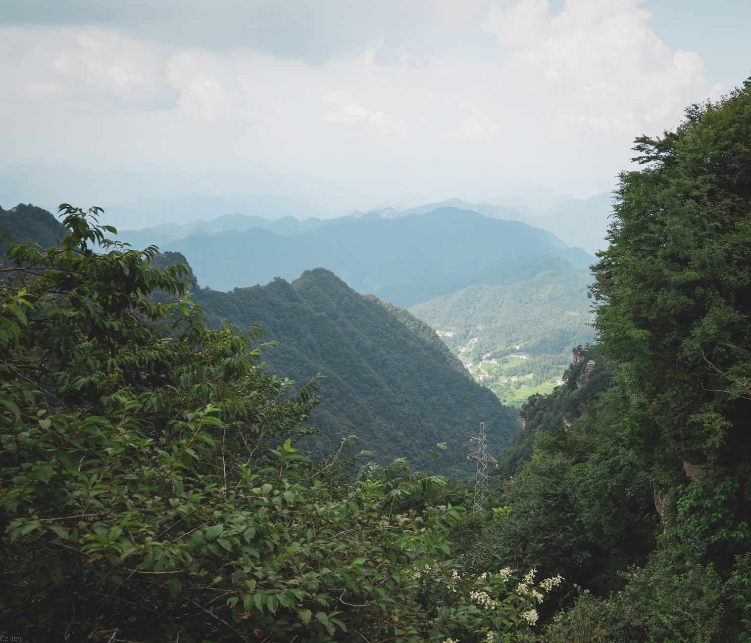
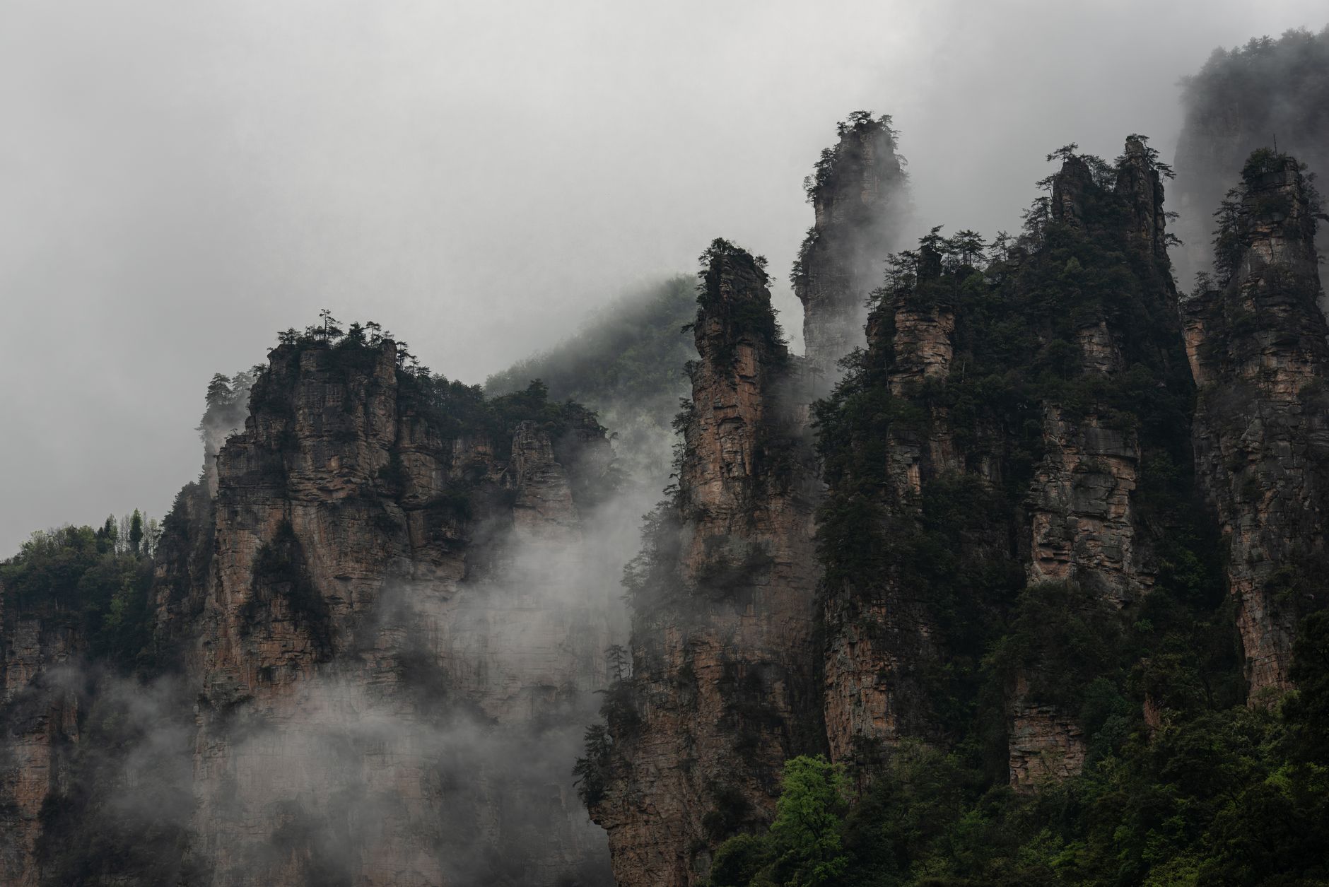
The sandstone pillars here rise so steeply, and in such numbers, that the landscape reads as surreal before it reads as real — columns of rock draped in pine and mist, some topping 200 metres, many narrow enough that you wonder what's holding them up. Zhangjiajie, in Hunan's northwest, is where China's first designated national forest park was carved out in 1982, and the scale of Wulingyuan's quartzite formations has been drawing geologists, painters and hikers ever since.
About 70 percent of the region's population belongs to the Tujia, Bai or Miao peoples — a fact that shapes the food, the festivals and the architecture in ways the stone scenery alone cannot. The city itself is a practical base; the wilderness begins about 30 kilometres north.
How Zhangjiajie came to be
The name itself is a family story: in 1630, during the Ming Dynasty, a regiment officer named Zhang Zaihong was granted hereditary control of this territory, and the land took his clan's name — Zhang's family boundary, Zhangjiajie. Long before that, the area was already inhabited; archaeological evidence puts human settlement here at roughly 100,000 years ago, and the Tujia people, now China's sixth-largest ethnic minority, have roots in the region stretching back more than twelve centuries.
For much of recorded history the place was called Dayong. It gained national attention in 1982 when the State Council designated its forest park China's first of its kind, and international recognition followed in 1992 when Wulingyuan was inscribed as a UNESCO World Heritage Site. The city formally took the name Zhangjiajie in 1994.
Who and what shaped it
People who shaped it
Landmark buildings
See Zhangjiajie in motion
Plan your visit
On the map
When to go
Spring (March–May) brings mist and wildflowers but also persistent rain; autumn (September–November) is generally clearer, with cooler air that sharpens the views. Summer is warm and crowded; winter can dust the peaks in snow, which is striking but makes some trails slippery.
Right now
Background & history adapted from Wikipedia (CC BY-SA) · specs from Wikidata (CC0) · weather from Open-Meteo · map data © OpenStreetMap contributors · photos from Wikimedia Commons / Unsplash with per-image credit. No third-party reviews or social posts reproduced.