
Yukon
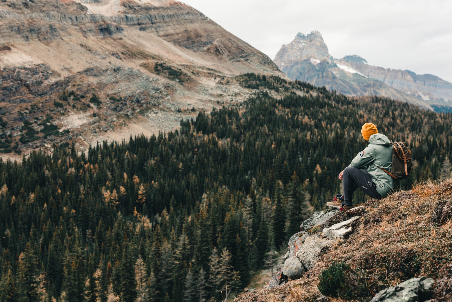
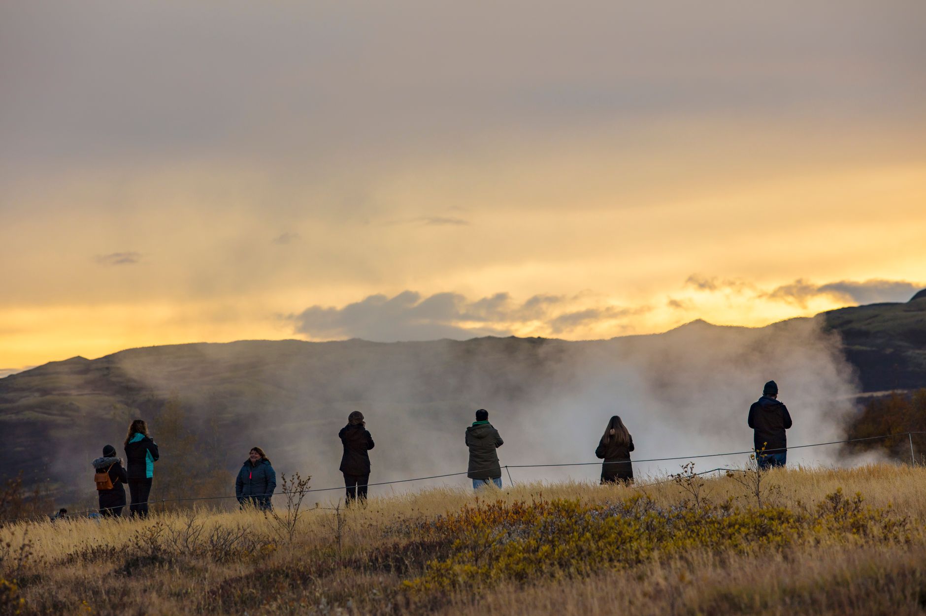

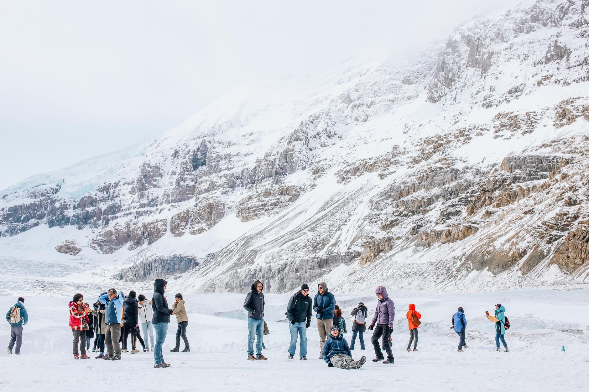

The Yukon is where Canada runs out of people and runs into itself. Drive the Alaska Highway north from the BC border and the spruce forest thickens, the sky widens, and the radio fades out. Whitehorse — the only city, home to roughly three-quarters of the territory's population — sits in a river valley where the Yukon River still runs cold enough to support the world's longest wooden fish ladder, a 366-metre wooden channel past the hydroelectric dam.
Beyond the capital, the territory opens into something harder to frame: the glaciated peaks of Kluane, the ochre-and-black ridgelines of Tombstone, the gravel ribbon of the Dempster running north toward the Arctic Ocean.
💛 What travellers fall for
People who come back tend to anchor in Whitehorse and push out in different directions each time — one trip west to Kluane, another north up the Klondike Highway to Dawson. The Sign Post Forest in Watson Lake is worth a slow walk; 77,000 signs from every corner of the world, started by a homesick soldier in 1942, and somehow it never feels like a tourist trap.
How Yukon came to be
On a creek in the Klondike region in August 1896, prospector George Carmack and two Indigenous North Americans, Skookum Jim and Tagish Charlie, found gold. Within two years, tens of thousands of people were pushing through mountain passes toward Dawson City, which briefly became the supply capital of the rush. The federal government carved Yukon out of the Northwest Territories by statute in 1898 to manage the chaos.
The gold faded; Dawson did not entirely. But in 1953 the territorial capital shifted south to Whitehorse, which sat on the railway and the river. A quieter transformation came later: in 1993, the Umbrella Final Agreement gave First Nations a template for land claims, and 11 agreements followed. The Kwanlin Dün Cultural Centre, opened in Whitehorse in 2012, and the Tr'ondëk-Klondike UNESCO World Heritage Site, designated in 2023, mark a territory still reckoning with and reclaiming its deeper history.
Who and what shaped it
People who shaped it
Landmark buildings
See Yukon in motion
Plan your visit
On the map
When to go
Yukon has a subarctic climate — winters are long and genuinely cold, summers brief but surprisingly warm, with long daylight hours in June and July stretching well past midnight. Spring and autumn are short transitions; if you're driving the Dempster, check road conditions regardless of season.
Right now
Background & history adapted from Wikipedia (CC BY-SA) · specs from Wikidata (CC0) · weather from Open-Meteo · map data © OpenStreetMap contributors · photos from Wikimedia Commons / Unsplash with per-image credit. No third-party reviews or social posts reproduced.