
Yosemite National Park
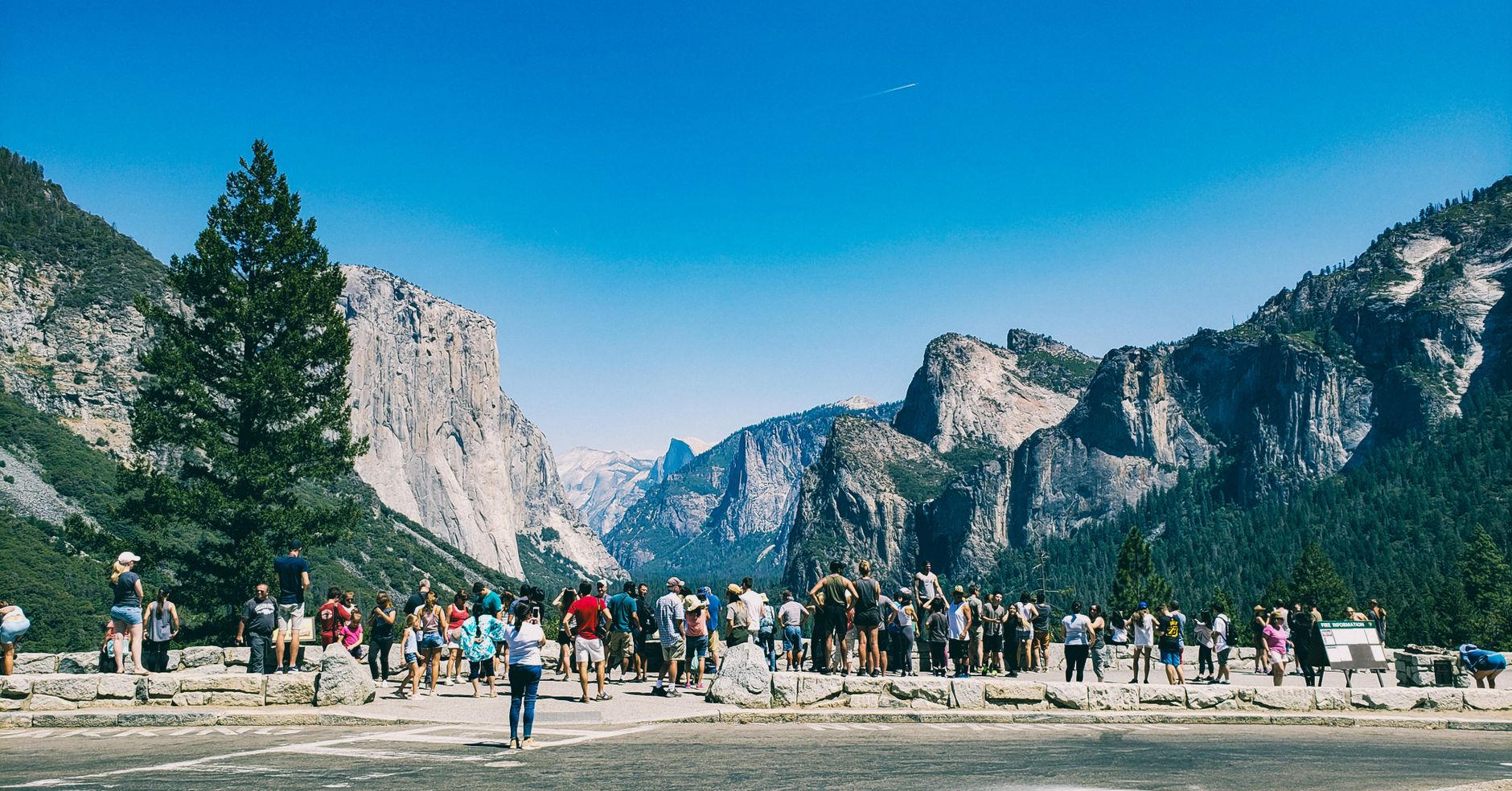
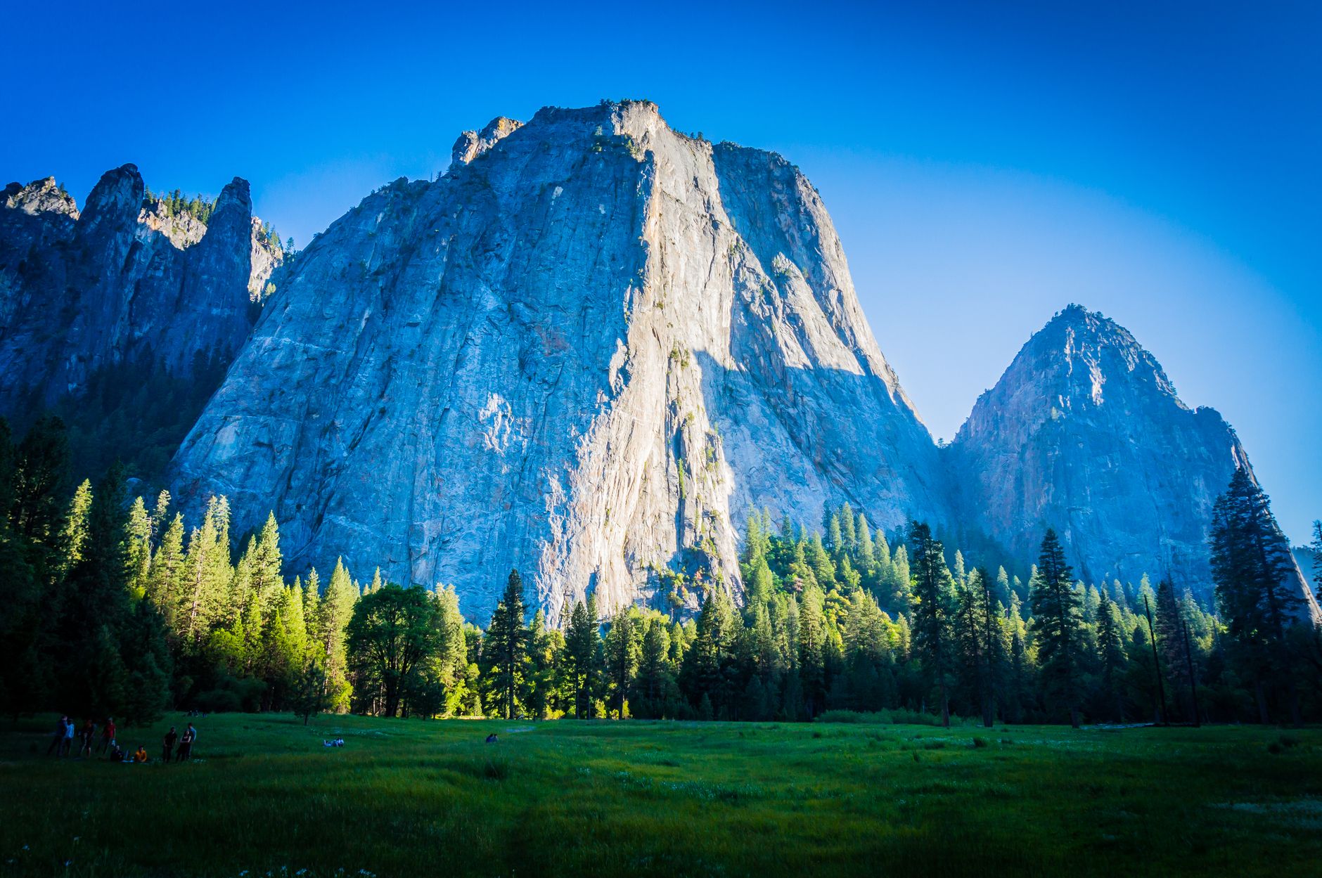
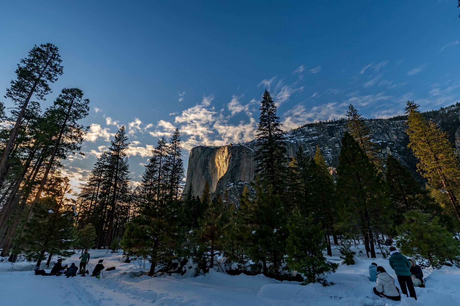
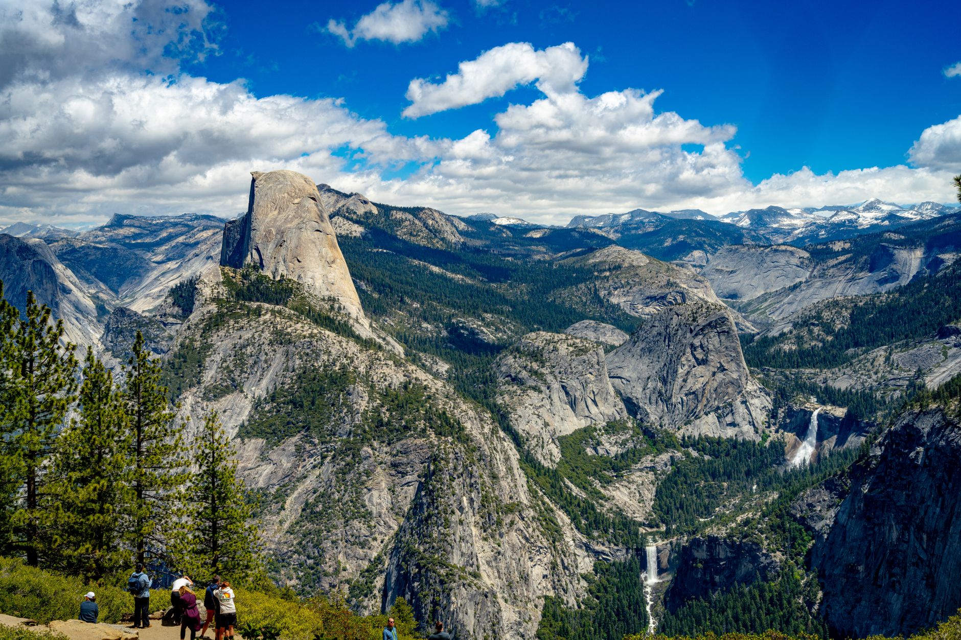
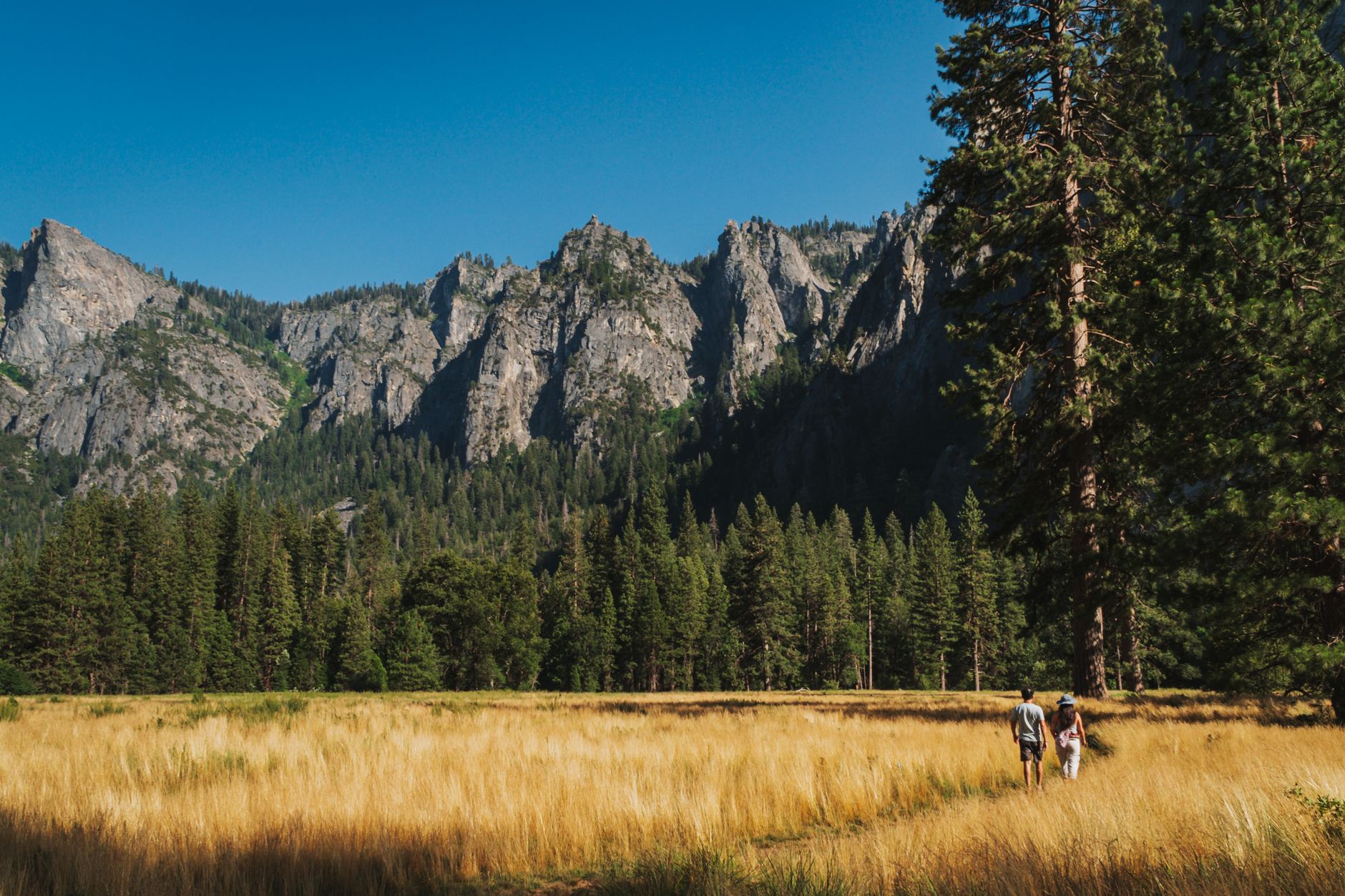
The first thing that stops you is the scale. El Capitan rises 7,569 feet of unbroken granite from the valley floor — the largest exposed monolith of its kind on earth — and no photograph has yet found a way to prepare you for standing beneath it. Yosemite Valley is only a sliver of the park's roughly 1,500 square miles, but it concentrates an unlikely density of waterfalls, domes, and sheer walls into a space you can drive end to end in under an hour.
Come for the valley, stay for what surrounds it: the ancient sequoias of Mariposa Grove, the panoramic ledge at Glacier Point, the high-country meadows along Tioga Road. The park runs 24 hours a day, every day of the year, and rewards the visitors who arrive at its edges rather than its center.
💛 What travellers fall for
People who keep coming back tend to agree on one thing: get through the entrance gates before 9 am between April and October, or plan to arrive after 5 pm. The valley doesn't shrink — it just gets harder to hear when the parking lots are full. Early mornings in May, when the waterfalls are running hardest, are worth the alarm clock.
How Yosemite National Park came to be
On June 30, 1864, Abraham Lincoln signed the Yosemite Grant, setting aside the valley and Mariposa Grove under California's protection — an early, imperfect experiment in public land. The park itself came later: Congress established Yosemite National Park on October 1, 1890, making it America's third national park, largely through the campaigning of naturalist John Muir and magazine editor Robert Underwood Johnson. Galen Clark, who had been appointed the valley's first Guardian years earlier, would steward the land for most of the next 35 years.
The valley and Mariposa Grove didn't come under full federal jurisdiction until 1906. By then, the Sierra Club had already built LeConte Memorial Lodge (1903), which became the park's first visitor center, and the bones of what Yosemite looks like today — trails, lodges, the Ahwahnee Hotel — were beginning to take shape.
Who and what shaped it
People who shaped it
Landmark buildings
See Yosemite National Park in motion
Plan your visit
On the map
When to go
Spring brings variable weather and the year's most dramatic waterfalls, peaking in May; expect warm days interrupted by late-season storms through mid-April. Summer is dry and busy across the valley, while autumn quiets the crowds and turns the high country gold before snow closes the mountain roads from November onward.
Right now
Background & history adapted from Wikipedia (CC BY-SA) · specs from Wikidata (CC0) · weather from Open-Meteo · map data © OpenStreetMap contributors · photos from Wikimedia Commons / Unsplash with per-image credit. No third-party reviews or social posts reproduced.