
Yorkshire Dales
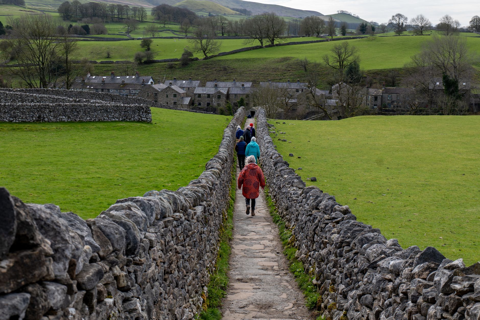
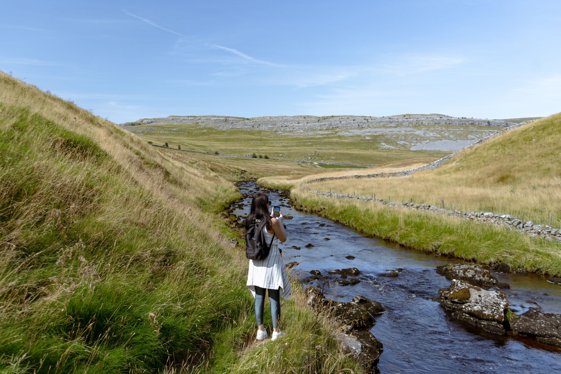
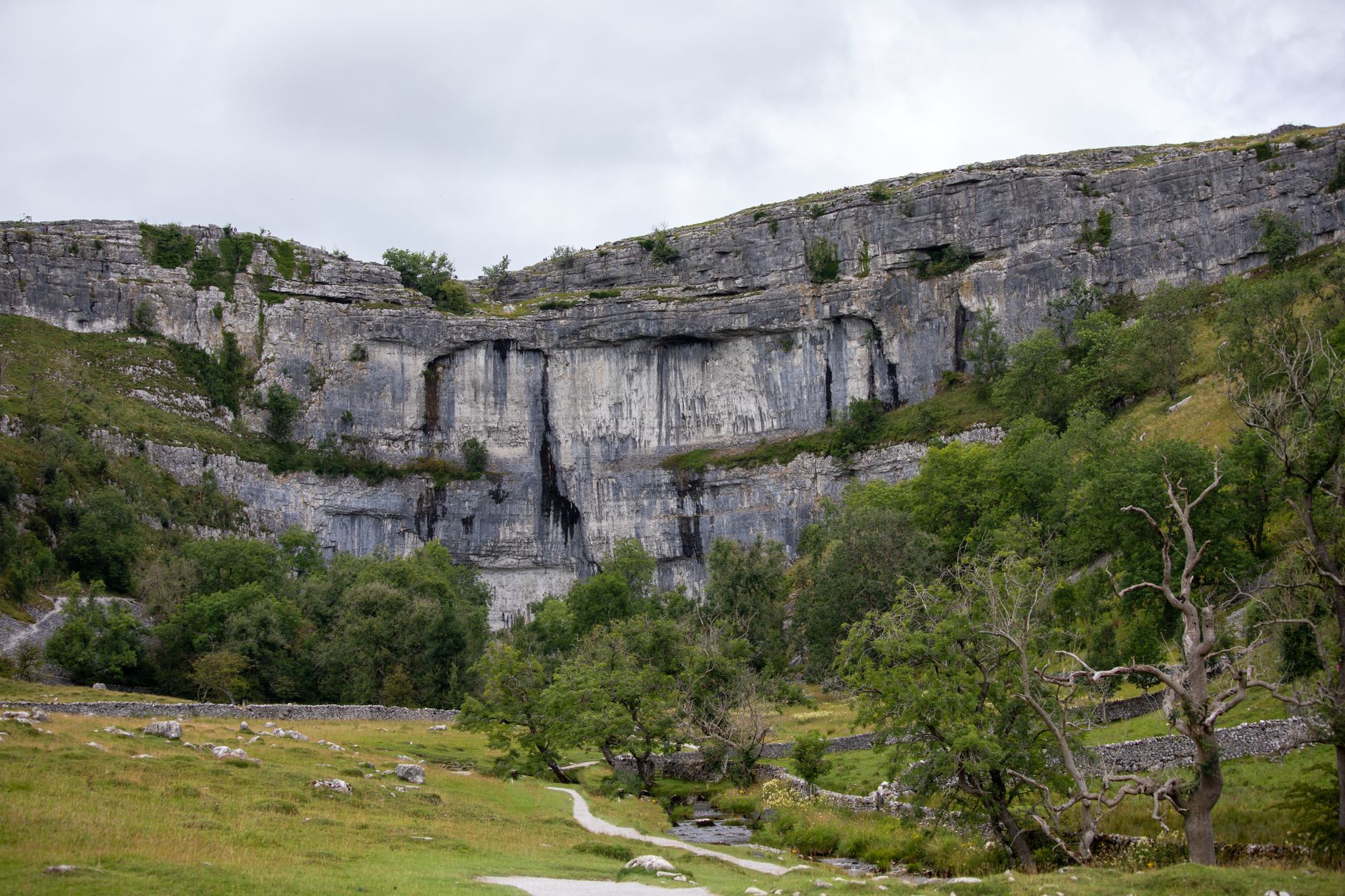
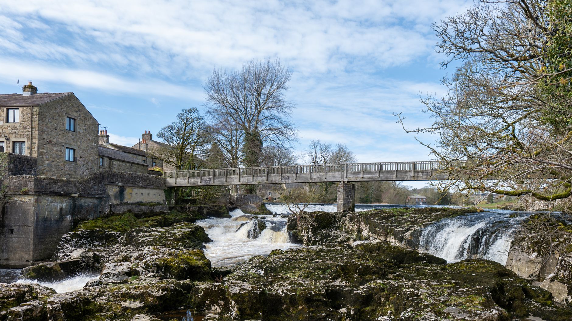
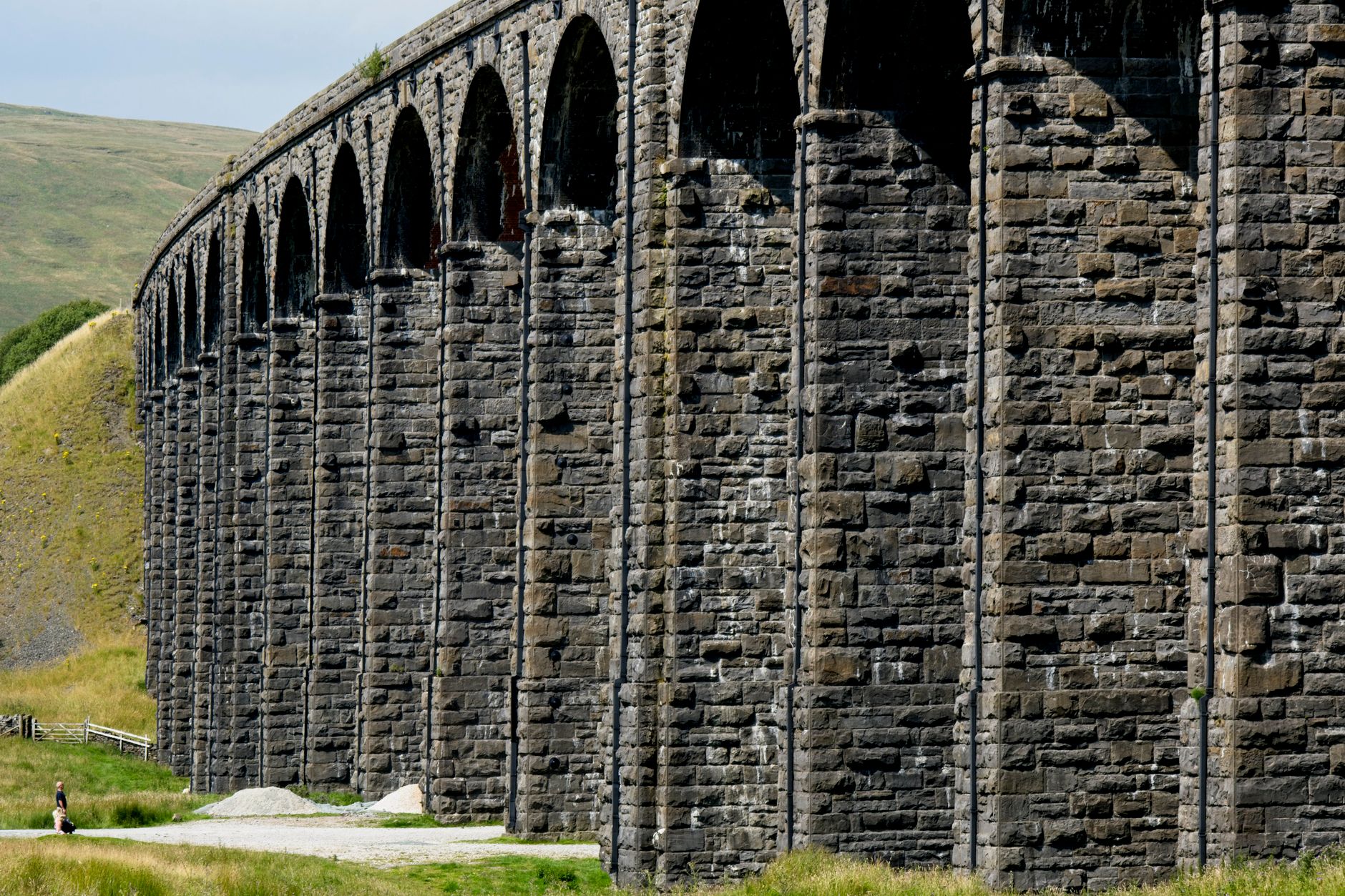
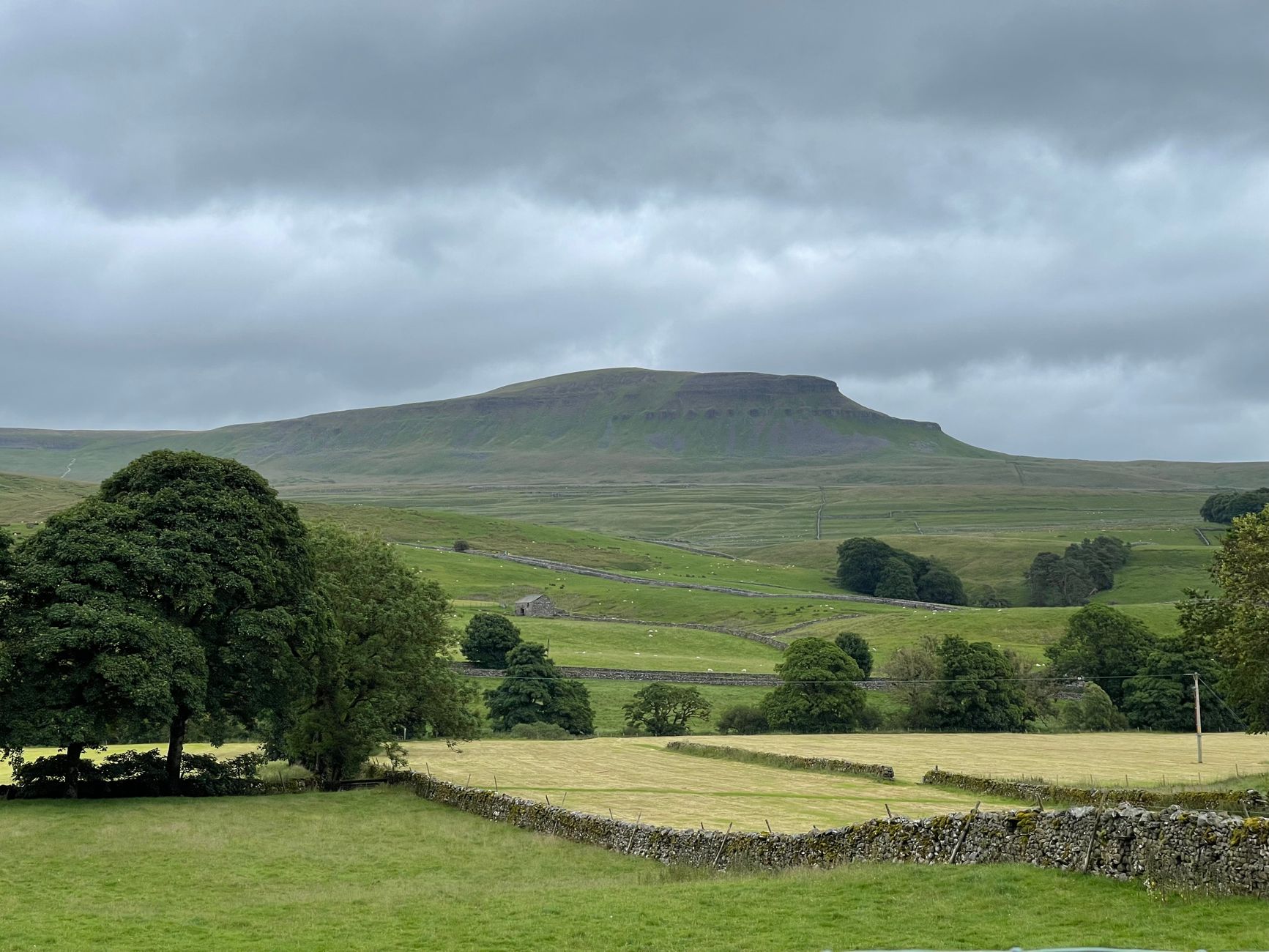
The first thing you notice in the Yorkshire Dales is the walls — miles of dry-stone walling threading across hillsides without a drop of mortar, built by hands that have been cold for a century or more. The landscape is limestone underneath it all, laid down 270 to 350 million years ago and scraped into its current form by retreating glaciers. What's left is a particular kind of beauty: pale grey pavements cracked into tessellating slabs, deep valleys carved by rivers, and roughly 2,500 caves running through the rock below your feet.
The National Park covers six major dales and dozens of smaller ones, each with its own character. Wensleydale has its castles and its cheese. Wharfedale has Bolton Abbey's half-ruined nave still holding Sunday services. Ribblesdale has the three peaks and the 24-arch viaduct that carries the Settle-Carlisle line across the moor.
💛 What travellers fall for
People who keep coming back tend to pick a base and go deep rather than trying to cover ground. Hawes in Wensleydale puts you close to Aysgarth Falls, Bolton Castle and the visitor centre. Grassington is better placed for Malham Cove and the southern dales. The DalesBus network, with single fares capped at £3, makes car-free days on the fells more realistic than most expect.
How Yorkshire Dales came to be
The dale names themselves — Wensleydale, Swaledale, Ribblesdale — carry traces of the Scandinavian settlers who arrived between the 6th and 9th centuries. Before them came the Romans; a 2nd-century villa was excavated at Gargrave. After the Norman Conquest in 1066, William's forces suppressed northern resistance and the land passed gradually to monastic orders. By the medieval period, Cistercian and Augustinian houses — Fountains Abbey (founded 1132), Jervaulx (1156), Bolton (1120) — controlled roughly three-quarters of what is now the park.
Henry VIII's Dissolution of the Monasteries in 1539 ended that era; Bolton's nave survived as a parish church and still stands. Lead mining dominated the 19th century, particularly between 1821 and 1861. The National Park was designated in 1954 under the 1949 Access to the Countryside Act, and extended again in 2016.
Who and what shaped it
People who shaped it
Landmark buildings
See Yorkshire Dales in motion
Plan your visit
On the map
When to go
Spring brings wildflowers — bluebells, primroses, daffodils — and the return of curlews and swallows, with enough daylight for the Three Peaks and fewer people on the paths. Summer is warmer but draws the largest crowds; autumn offers cooler walking conditions and a quieter park; winter can be cold and wet on the fells, so pack accordingly whatever month you arrive.
Right now
Background & history adapted from Wikipedia (CC BY-SA) · specs from Wikidata (CC0) · weather from Open-Meteo · map data © OpenStreetMap contributors · photos from Wikimedia Commons / Unsplash with per-image credit. No third-party reviews or social posts reproduced.