
Yala National Park
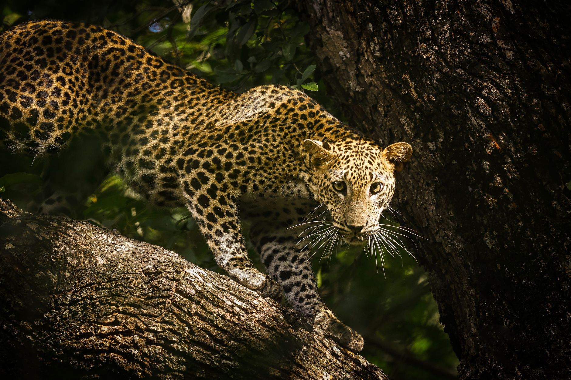
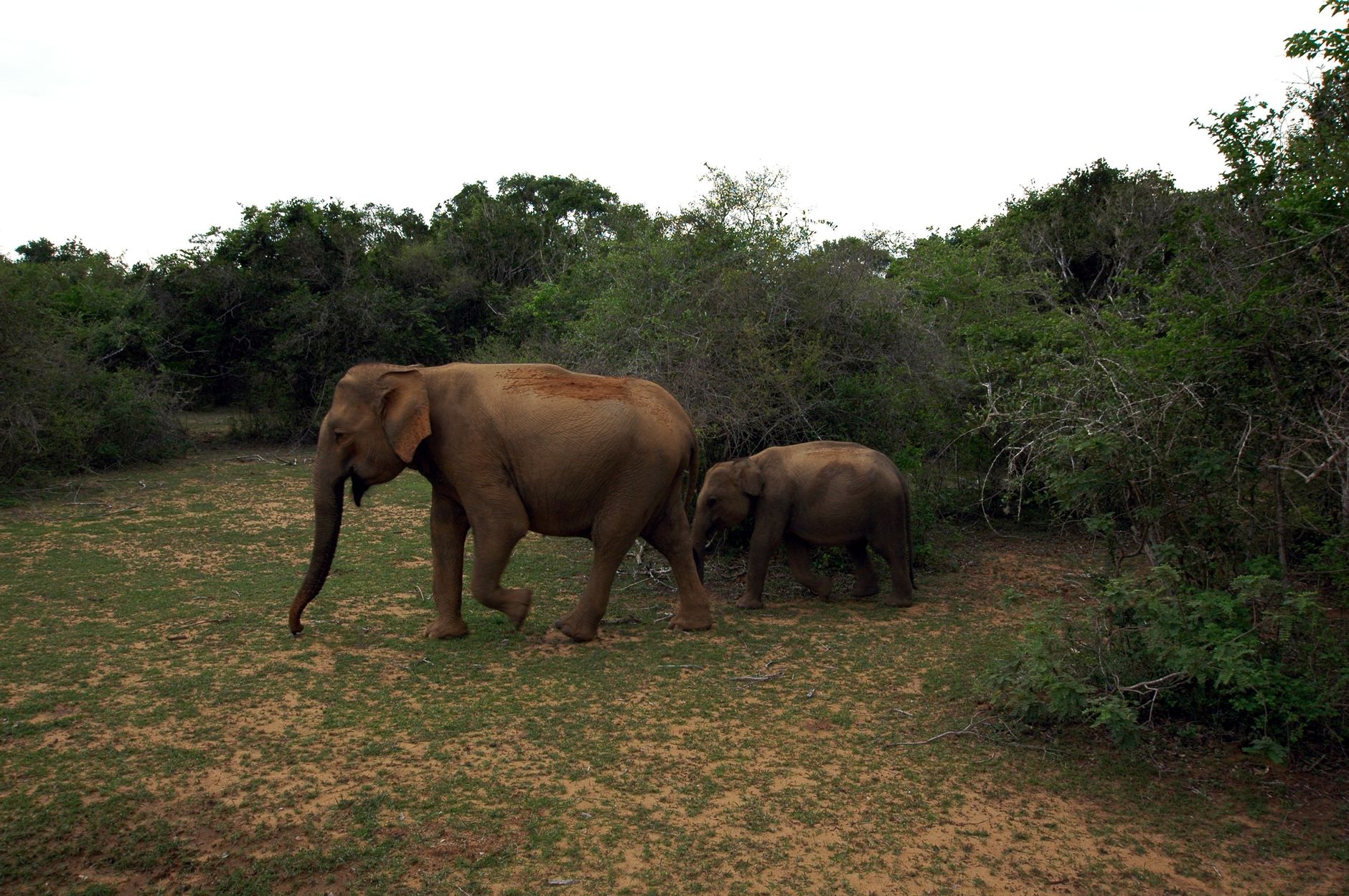

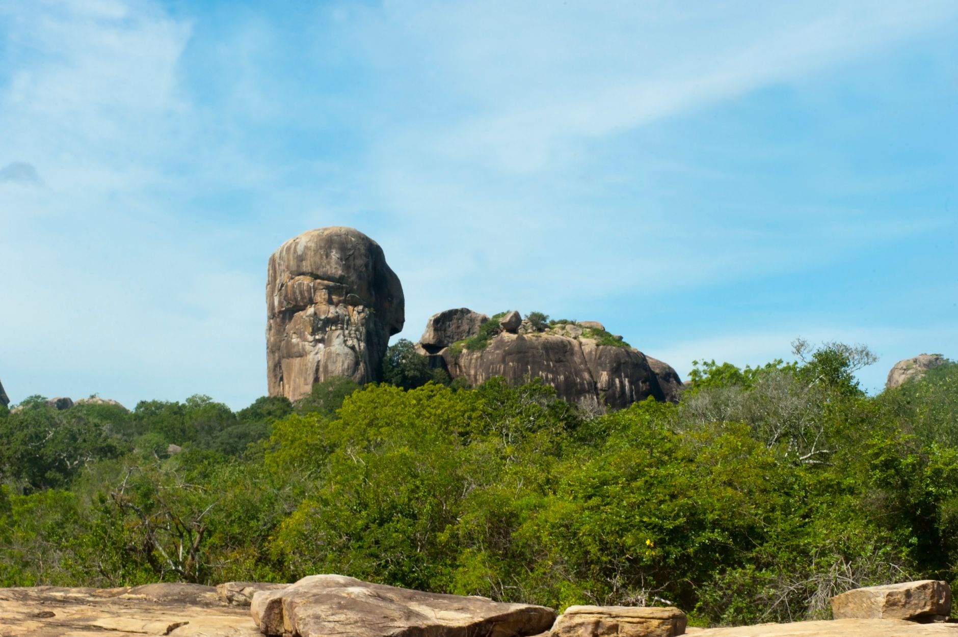
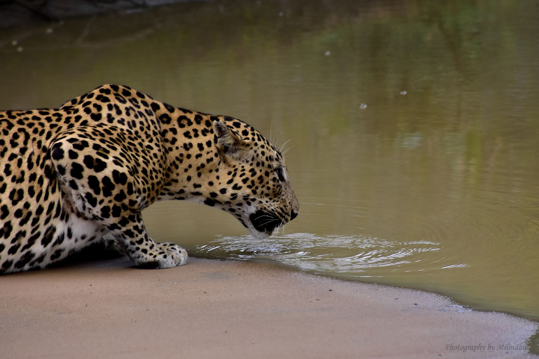
Block 1 of Yala holds one of the highest densities of wild leopards per square kilometre anywhere on earth. You'll often spot one draped across a branch before your jeep has properly warmed up. The park covers 979 square kilometres along Sri Lanka's southeastern coast, where scrub jungle, lagoons and open grassland press right up against the Indian Ocean — a landscape that looks, in the dry months, like it's been baked down to its essentials.
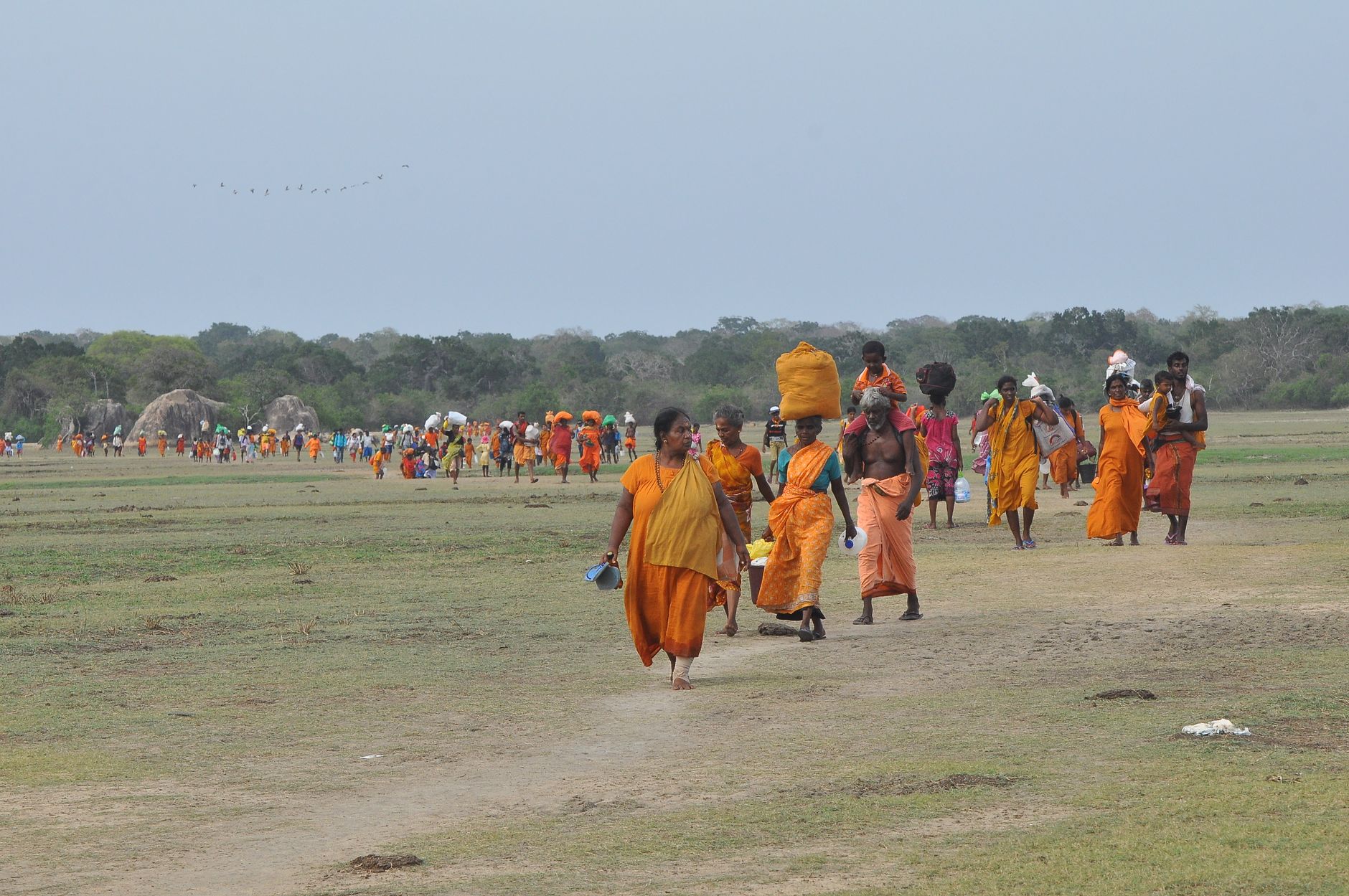
Yala is also older than it looks. Buddhist ruins sit inside the same blocks where sloth bears raid palu trees, and a temple said to have housed 12,000 monks still draws pilgrims through the park gates. Wildlife and history share the same red-dust tracks here.
💛 What travellers fall for
People who come back tend to swap entrance tips: the southern Palatupana Gate draws over 200 jeeps on a busy morning, while Katagamuwa sees only 20 or 30. The re-entry rule is worth knowing before you plan a full day — once your ticket is used, you're out.
How Yala National Park came to be
The land was designated a wildlife sanctuary in 1900 and formally declared a national park on 1 March 1938, initially protecting 389 square kilometres between the Kumbukkan and Menik rivers. But the human story goes back much further. Brahmi inscriptions and Buddhist monasteries point to settled life here from the 2nd century BC, and the temple at Sithulpawa — whose Sanskrit name translates roughly as 'hill of the quiet mind' — is thought to date back 2,000 years.
By the 16th century, a Spanish cartographer noted the region had been abandoned for 300 years. The 2004 Indian Ocean tsunami caused severe damage across the park's coastal edge, a reminder that Yala's boundary with the ocean is not merely scenic.
Who and what shaped it
People who shaped it
Landmark buildings
See Yala National Park in motion
Plan your visit
On the map
When to go
The park runs hot and dry for much of the year, with temperatures between 20°C and 33°C. February to June is the most reliable window for wildlife — animals concentrate around shrinking water sources and the vegetation thins out, making sightings easier; July is the driest single month, while November brings the heaviest rains.
Right now
Background & history adapted from Wikipedia (CC BY-SA) · specs from Wikidata (CC0) · weather from Open-Meteo · map data © OpenStreetMap contributors · photos from Wikimedia Commons / Unsplash with per-image credit. No third-party reviews or social posts reproduced.