
Xunantunich
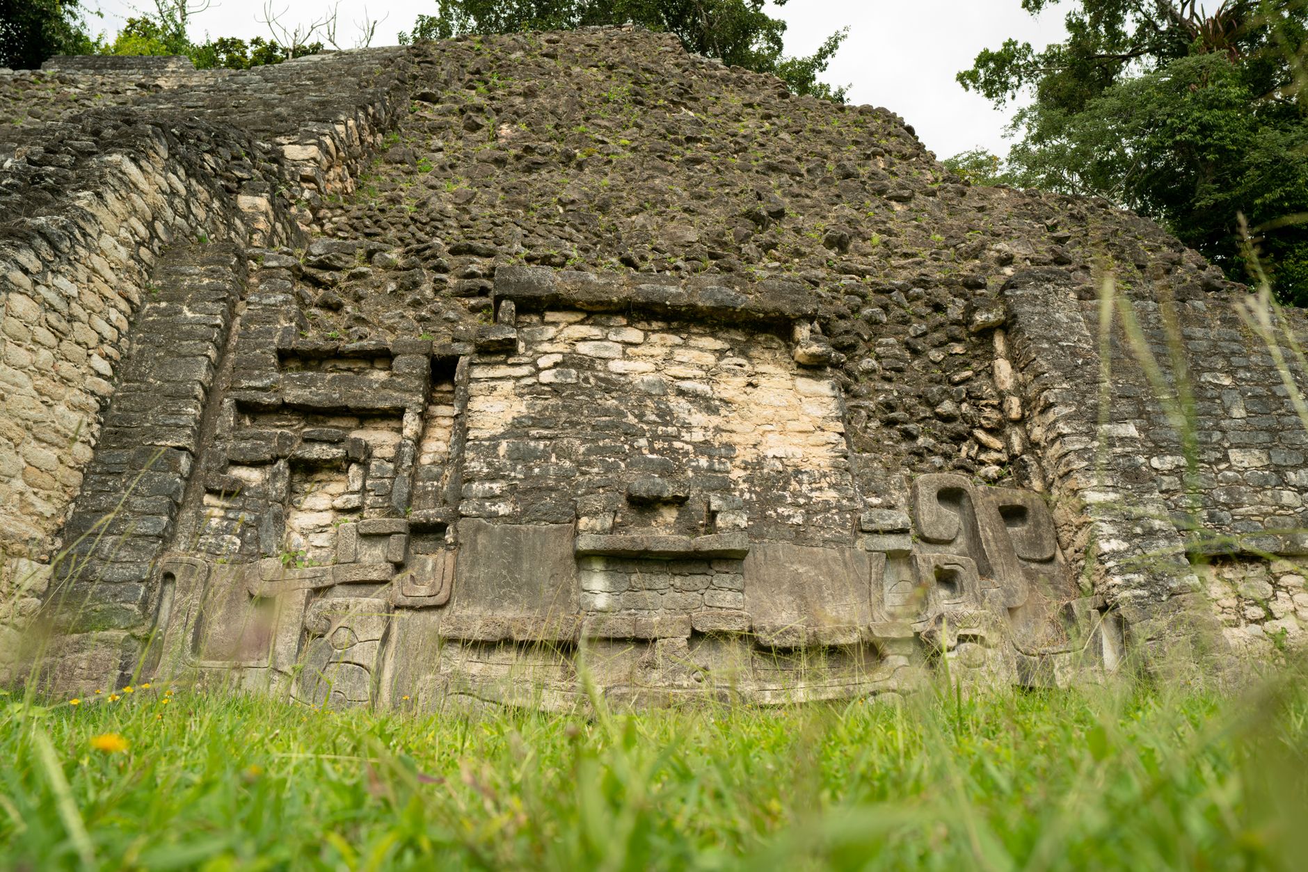
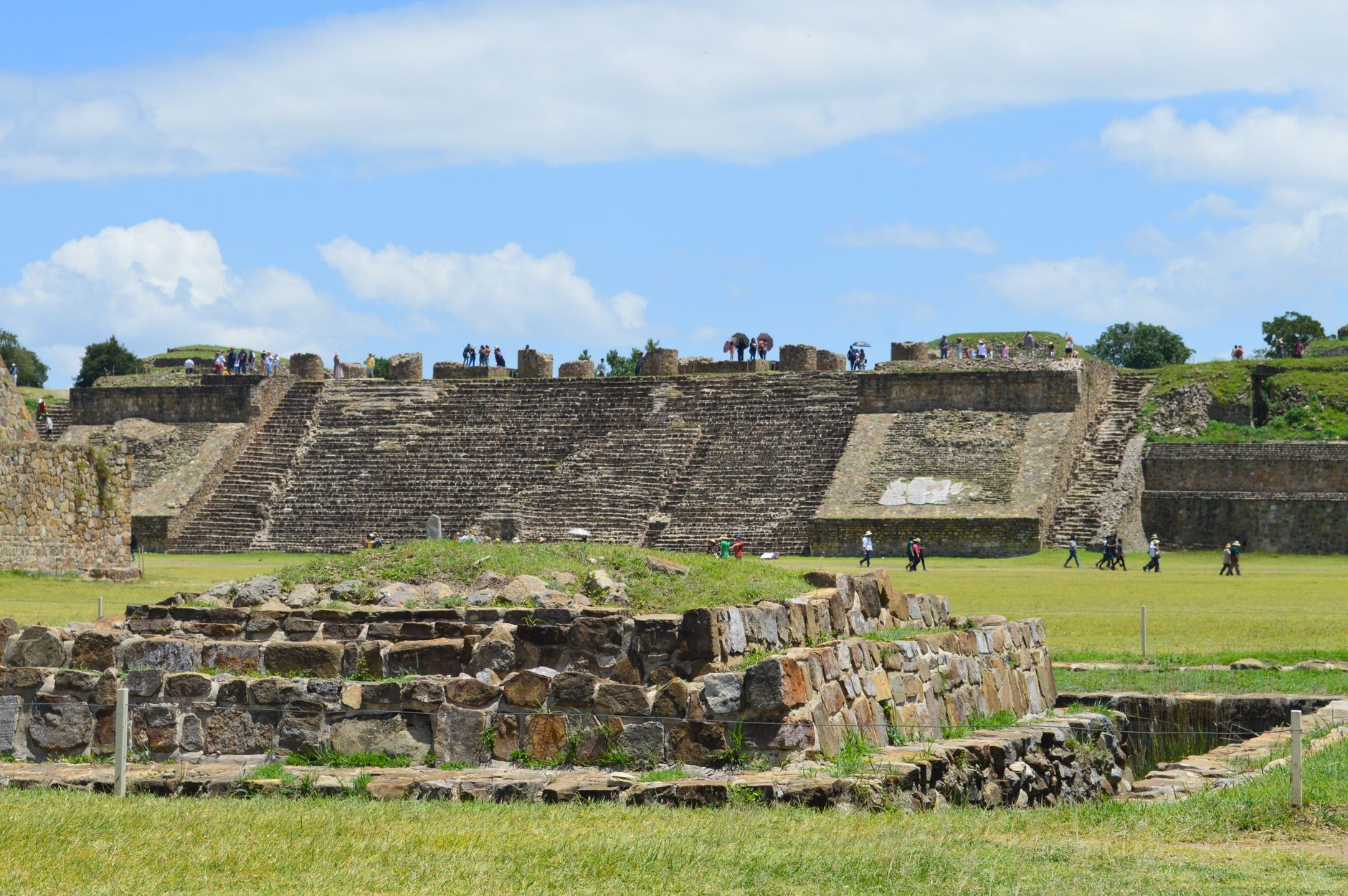
The hand-cranked cable ferry that carries you across the Mopan River is your first clue that Xunantunich operates on its own terms. From the far bank, a mile of uphill path through the trees delivers you onto a ridge where El Castillo rises 130 feet above the plazas — stucco friezes still tracing astronomical symbols across its flanks, carved by Maya builders around 650–700 AD.
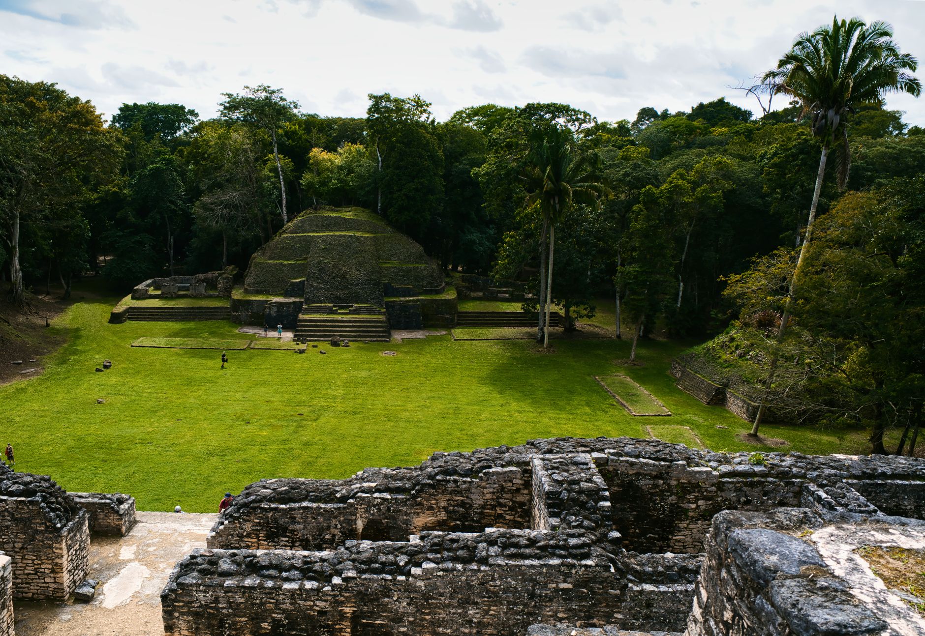
This is one of the most complete ceremonial centres in western Belize: six plazas, more than 25 temples and palaces, and a 2016 excavation that opened a royal burial chamber untouched for over a thousand years. The site sits barely half a mile from the Guatemalan border, and the ridge views reflect that geography.
How Xunantunich came to be
People first settled this ridge between 600 BC and 300 BC, but the city's monumental character took shape much later. Between roughly 650 and 700 AD, El Castillo and the surrounding plazas were built out; the upper section of El Castillo itself went up around 800 AD. Growth was rapid and then abrupt — the city was largely abandoned sometime in the Terminal Classic period, around 1050 CE.
Modern investigation began badly: Thomas Gann used dynamite to clear the site in the 1890s, destroying an unknown quantity of artifacts and structures. Professional archaeology arrived in 1959, and the 1990s brought the comprehensive Xunantunich Archaeological Project under Richard Leventhal. Most recently, Jaime Awe's team opened Structure A-9 in July 2016, finding a royal tomb — an adult male, 36 ceramic vessels, a jade necklace, 14 obsidian blades — considered one of the largest Maya burial chambers discovered in western Belize in a century.
Who and what shaped it
People who shaped it
Landmark buildings
See Xunantunich in motion
Plan your visit
On the map
When to go
The dry season runs roughly February through May, when trails are easier underfoot and the ridge views stay clear. June through November brings rain — sometimes heavily — which thins the crowds but makes the uphill path slick; mornings tend to clear before afternoon storms roll in.
Right now
Background & history adapted from Wikipedia (CC BY-SA) · specs from Wikidata (CC0) · weather from Open-Meteo · map data © OpenStreetMap contributors · photos from Wikimedia Commons / Unsplash with per-image credit. No third-party reviews or social posts reproduced.