
Worthing
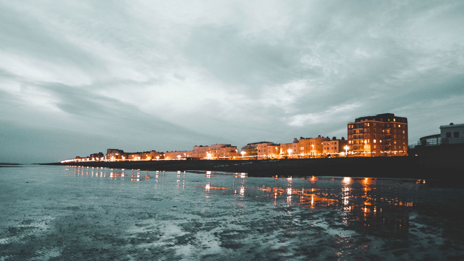
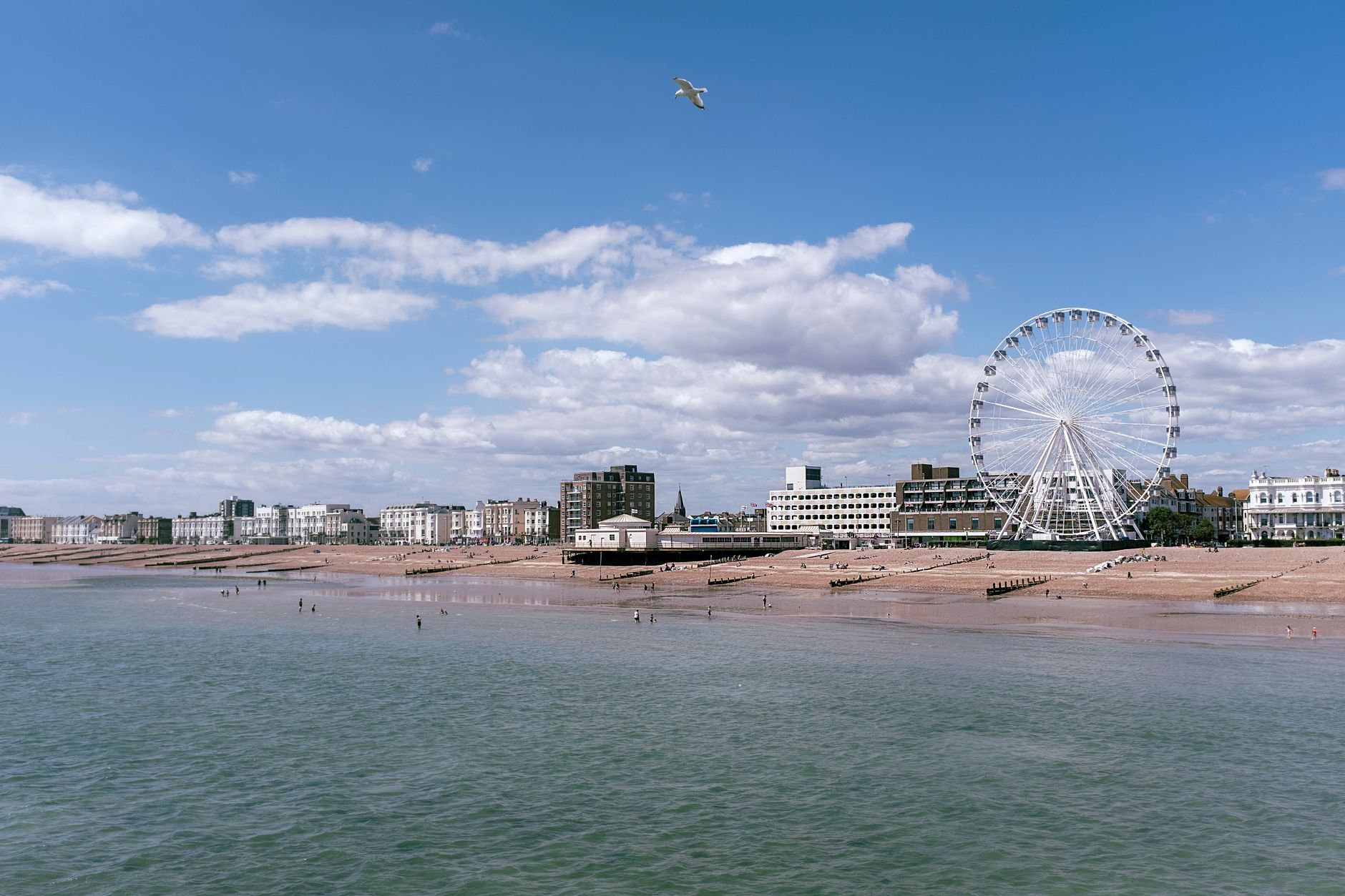
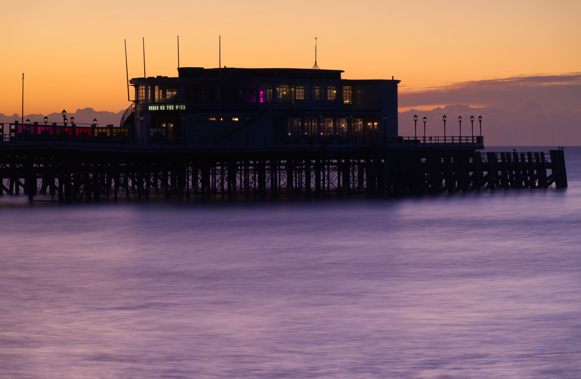
At the eastern end of Worthing Beach, a coral reef sits close enough to shore that you can swim out to it without much effort. The water is warm and clear, the sand is soft underfoot, and a lifeguard keeps watch from this end of the stretch. Behind the beach, separated from it by little more than a sluice gate, the Graeme Hall Mangrove Swamp quietly does its ecological work — and occasionally, when that gate opens to balance the wetland's water flow, the beach closes for a few hours.
This is Worthing in Christ Church, Barbados: a low-key strip of coast where cold Caribs and rum punches are served at beach bars, flying fish arrives on paper plates, and the northeast tradewinds keep the heat honest. It draws a different crowd to the more polished resorts further up the island — quieter, more local in feel, easier to stay in for a full day without much planning.
💛 What travellers fall for
People who come back tend to head straight to Crystal Waters or Carib Beach Bar, order a rum punch before noon without apology, and stake out the eastern end where the snorkeling is best. Turtle sightings are common enough to be worth keeping an eye out for, but rare enough to still matter. Worthing Square and the Seafood Shack handle dinner.
Deals in Worthing
Book directly at the provider

How Worthing came to be
Worthing sits within the parish of Christ Church, one of Barbados's eleven historic parishes — an administrative structure that dates to the island's early colonial period in the seventeenth century. The parish system was designed to organize land, taxation, and governance across the island, and Christ Church, running along the southern coast, became one of the more populated and trafficked parishes given its proximity to Bridgetown.
Worthing itself developed as a quieter residential and beach-facing settlement within that southern corridor. The Graeme Hall wetlands that border its beach represent one of the last significant mangrove systems on the island, a landscape that predates any of the tourism infrastructure around it by centuries.
Who and what shaped it
Landmark buildings
See Worthing in motion
Plan your visit
On the map
When to go
Barbados sits outside the main hurricane belt — the last significant storm to hit was Hurricane Janet in 1955 — and the tradewinds moderate what would otherwise be punishing heat, keeping daytime temperatures around 30°C year-round. The driest and most reliably sunny months run February through April; if you visit between September and November, expect heavier rainfall and build some flexibility into your days.
Right now
Background & history adapted from Wikipedia (CC BY-SA) · specs from Wikidata (CC0) · weather from Open-Meteo · map data © OpenStreetMap contributors · photos from Wikimedia Commons / Unsplash with per-image credit. No third-party reviews or social posts reproduced.