
White Desert
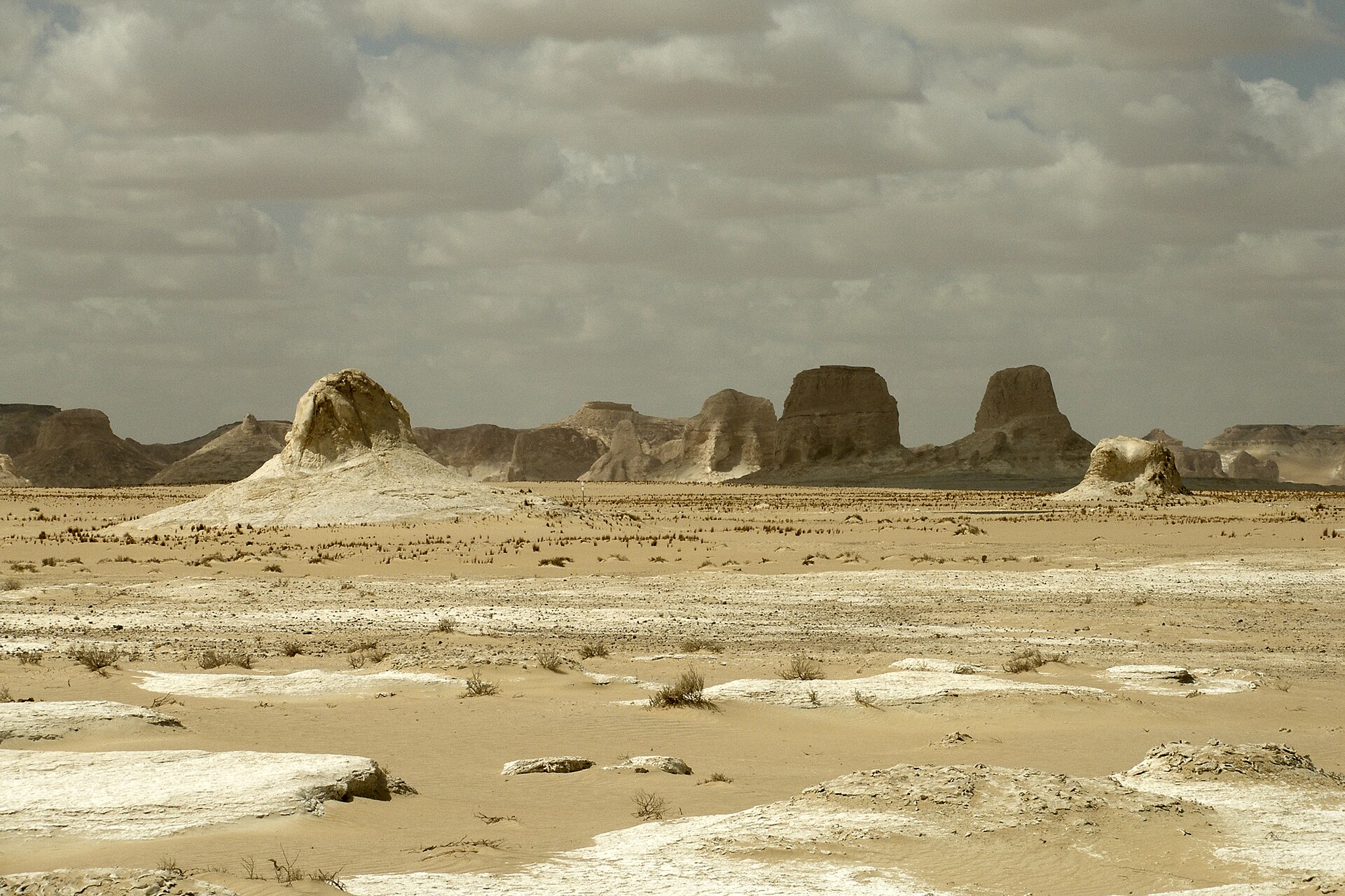
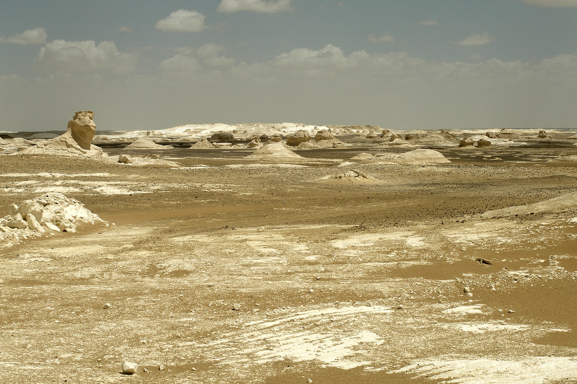
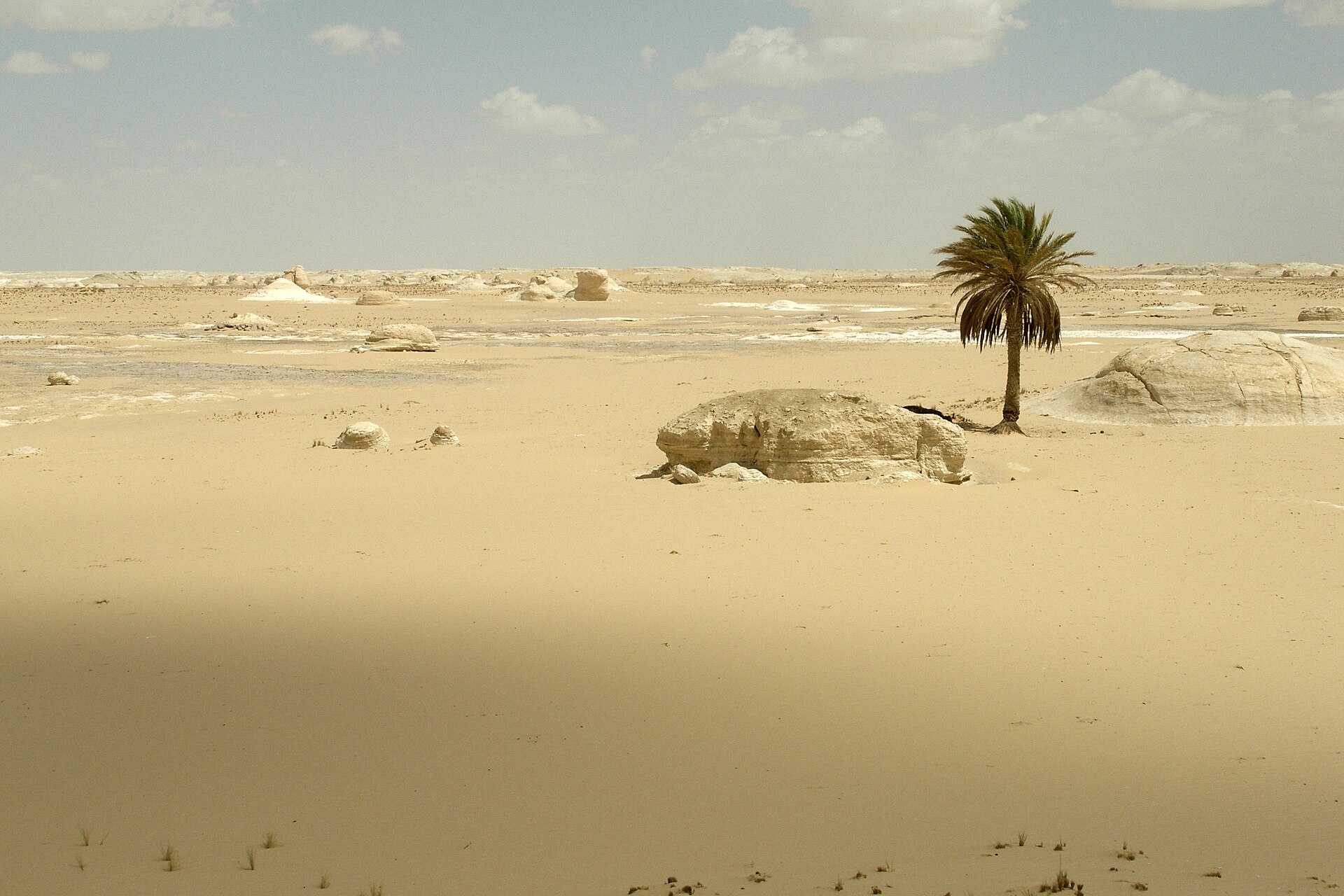
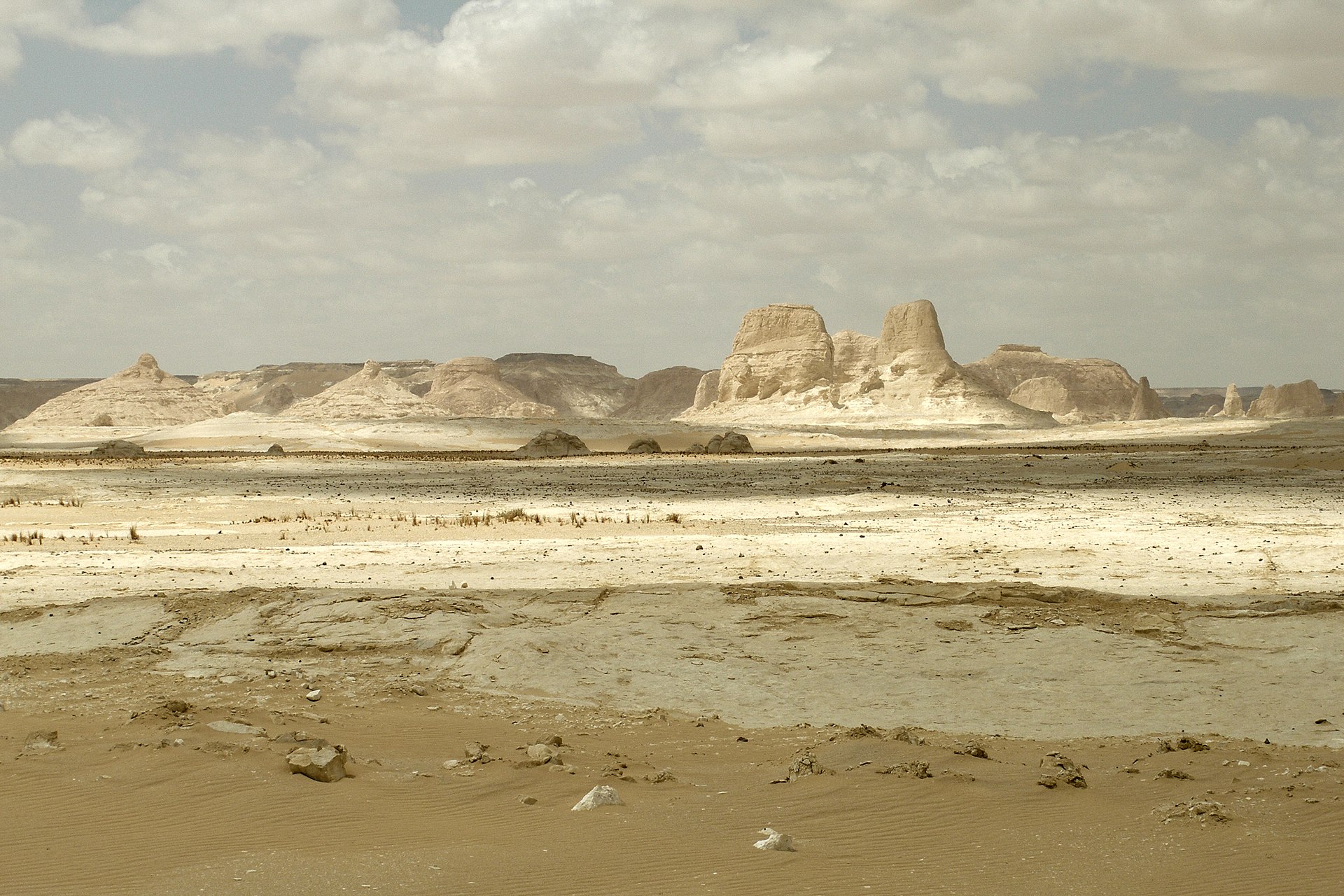
About 500 kilometres southwest of Cairo, the Farafra depression holds one of the stranger landscapes on earth: a flat expanse of chalk-white sand punctuated by sculpted rock formations that rise three to four metres off the ground, worn into mushrooms, cones and figures that have been given names — Chicken and the Tree, the Ice-cream Cone, the Monolith — because the human mind insists on finding the familiar inside the alien. At sunrise and sunset the formations catch the light in shades of orange and deep pink before fading back to white.
The desert runs for about 20 kilometres, crossed by a road linking Bahariya and Farafra oases. Once you leave that road with a 4x4 and a Bedouin guide, there is no phone signal. The silence is structural.
How White Desert came to be
Sixty million years ago, this part of Egypt was a shallow seabed. Over roughly 30 million years of the Cretaceous period, some 300 metres of limestone and chalk accumulated on the ocean floor. Then, as ice formed in the Atlantic and sea levels fell, the water retreated, leaving that accumulated sediment exposed to wind. Sandstorms did the rest — centuries of abrasion carving the chalk plateau into the formations visible today.
The Egyptian government recognised the area as a Natural Protectorate in 2002, formalising rules that had long been informal: no permanent settlement, guided access only, local Bedouin involvement required. The designation also drew the boundary that now defines the protected zone and put the permit system in place.
Who and what shaped it
Landmark buildings
See White Desert in motion
Plan your visit
On the map
When to go
October to April brings daytime temperatures of 20–30°C — workable for walking and camping — though winter nights can drop to near freezing, so a proper sleeping bag matters. Summer daytime heat regularly exceeds 38°C, and the Khamsin wind blows hot, dry and dusty from March through June, making those months the ones to avoid.
Right now
Background & history adapted from Wikipedia (CC BY-SA) · specs from Wikidata (CC0) · weather from Open-Meteo · map data © OpenStreetMap contributors · photos from Wikimedia Commons / Unsplash with per-image credit. No third-party reviews or social posts reproduced.