
Weddell Sea
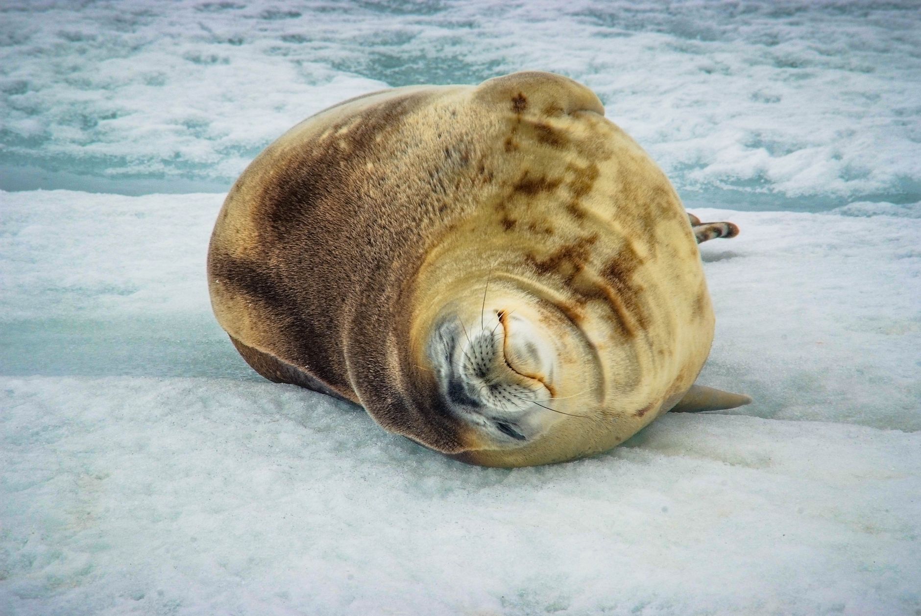
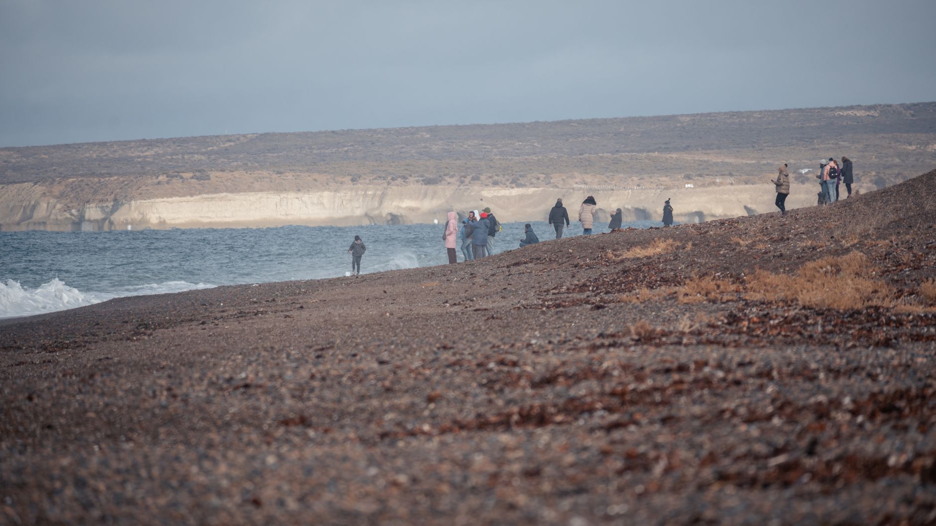
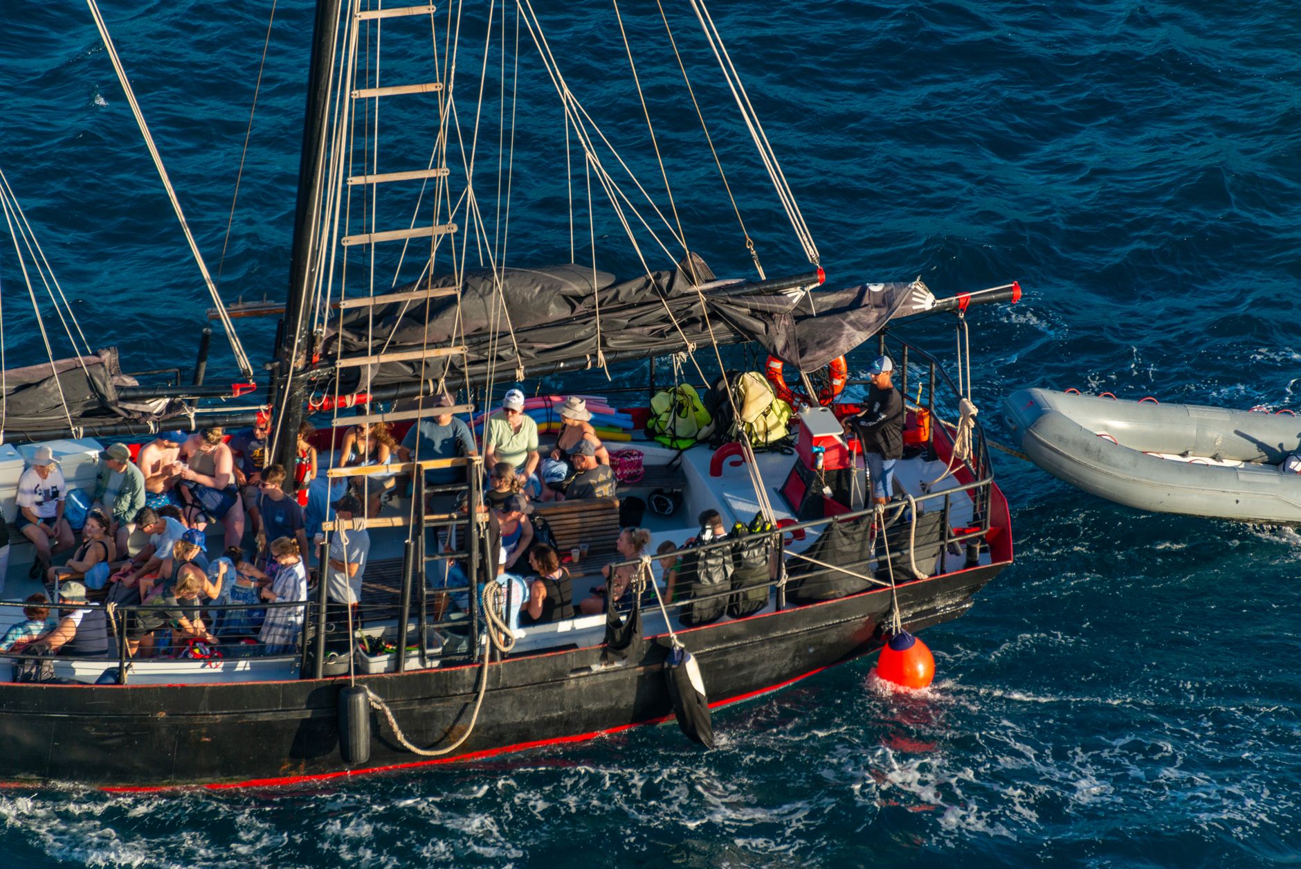
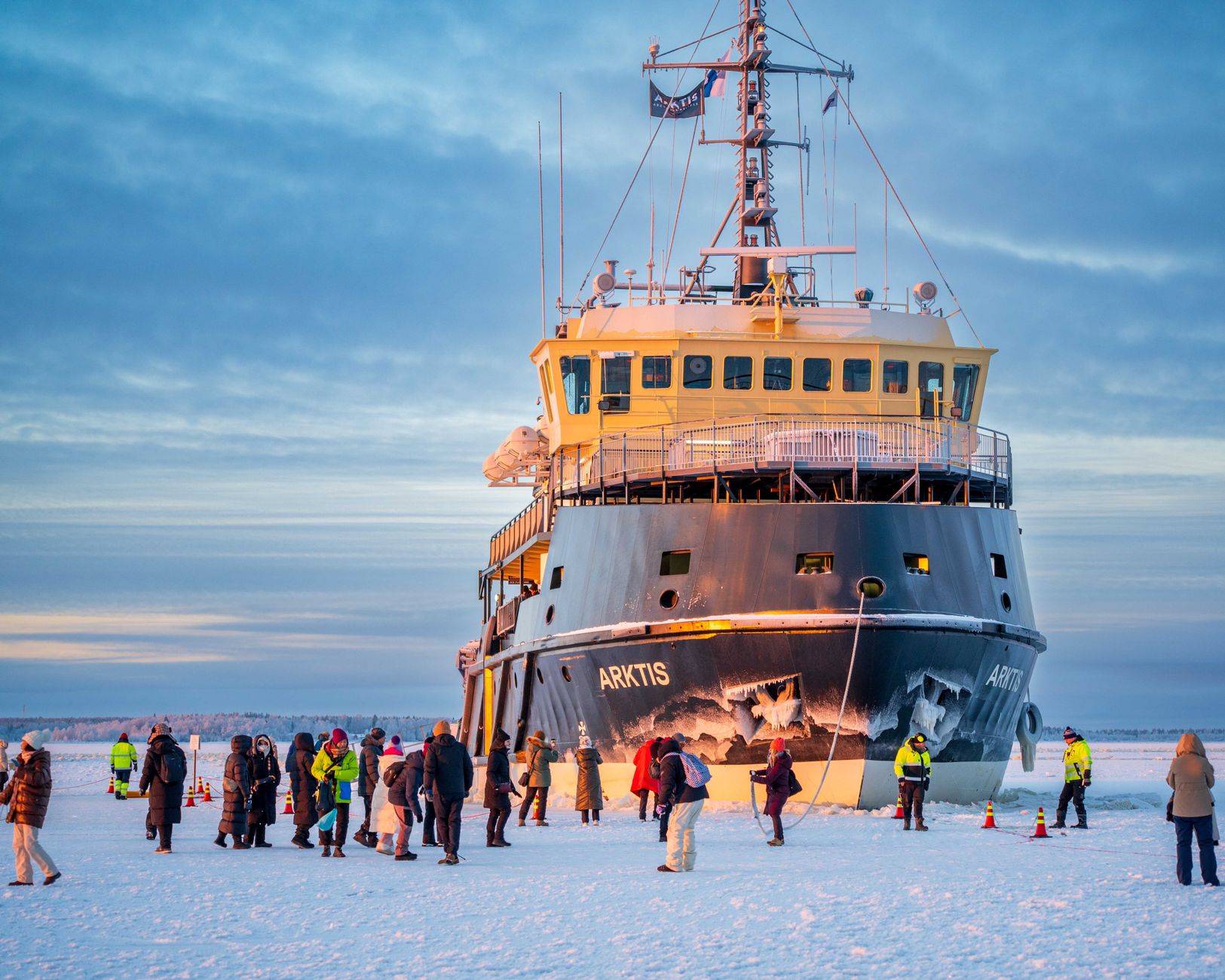
The Weddell Sea holds the clearest water on Earth — in 1986, a Secchi disc remained visible at 80 metres depth, a clarity measured as equivalent to distilled water. That transparency feels like a clue to what this place is: stripped back, unmediated, operating at a scale that makes human categories feel provisional. Pack ice covers 90 percent of the surface in winter and tabular icebergs the size of city districts drift through Antarctic Sound, which sailors have long called Iceberg Alley for good reason.
This is the sea that swallowed Shackleton's Endurance in 1915 and kept its location secret for over a century, until the wreck was found in 2022 at 3,008 metres down. Weddell seals, leopard seals, humpback and killer whales move through these waters. On Paulet Island, more than 100,000 pairs of Adélie penguins nest on a volcanic shore. The Filchner and Ronne ice shelves form the southern wall. Everything here is on a different register.
How Weddell Sea came to be
James Weddell, a British sealer, sailed to 74 degrees 15 minutes south in 1823 aboard the brig Jane — further than anyone had reached in this sector — and named the water George IV Sea. The name was changed to honour him in 1900. The following decades brought systematic science: William S. Bruce's Scotia conducted the first oceanographic survey in 1903–04, and the German South Polar Expedition charted the Luitpold Coast and identified the Filchner Ice Shelf between 1910 and 1912.
The sea's defining story arrived in 1915, when Shackleton's Endurance became trapped in pack ice and was eventually crushed. His crew survived 15 months on the ice before reaching Elephant Island. On the Brunt Ice Shelf at the sea's edge, British researchers at Halley VI Station made one of the 20th century's most consequential discoveries in 1985: the hole in the ozone layer. The station itself was relocated 23 kilometres in 2015–16 after the ice shelf began to crack.
Who and what shaped it
People who shaped it
Landmark buildings
See Weddell Sea in motion
Plan your visit
On the map
When to go
Summer (January–March) sees temperatures hovering around 0°C and the lowest sea-ice extent, making it the only practical window for visits. Katabatic winds can exceed 200 km/h at any time of year, and even in summer the wind strips heat from exposed skin fast — layering is not optional.
Right now
Background & history adapted from Wikipedia (CC BY-SA) · specs from Wikidata (CC0) · weather from Open-Meteo · map data © OpenStreetMap contributors · photos from Wikimedia Commons / Unsplash with per-image credit. No third-party reviews or social posts reproduced.