
Wadden Sea
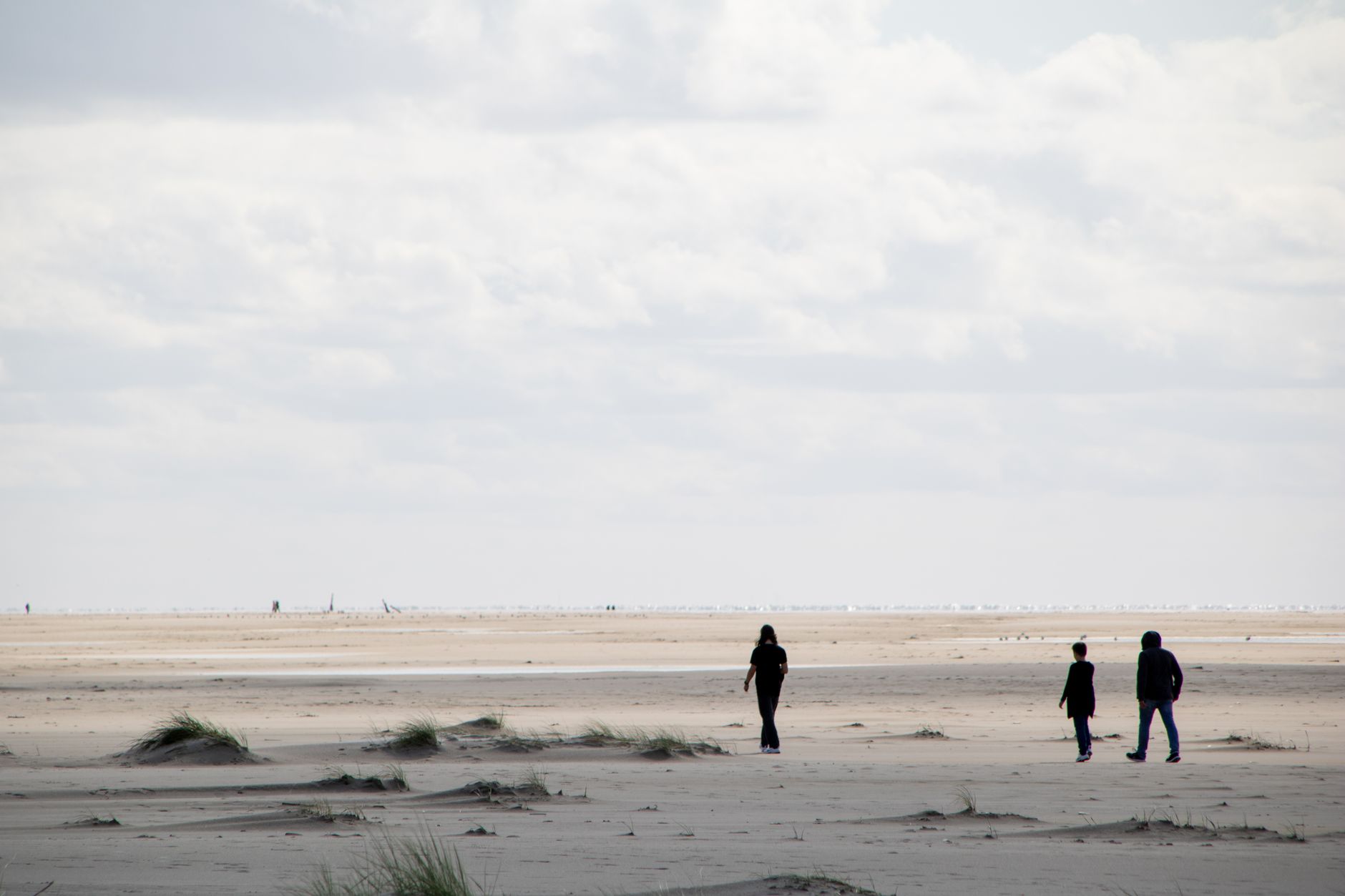
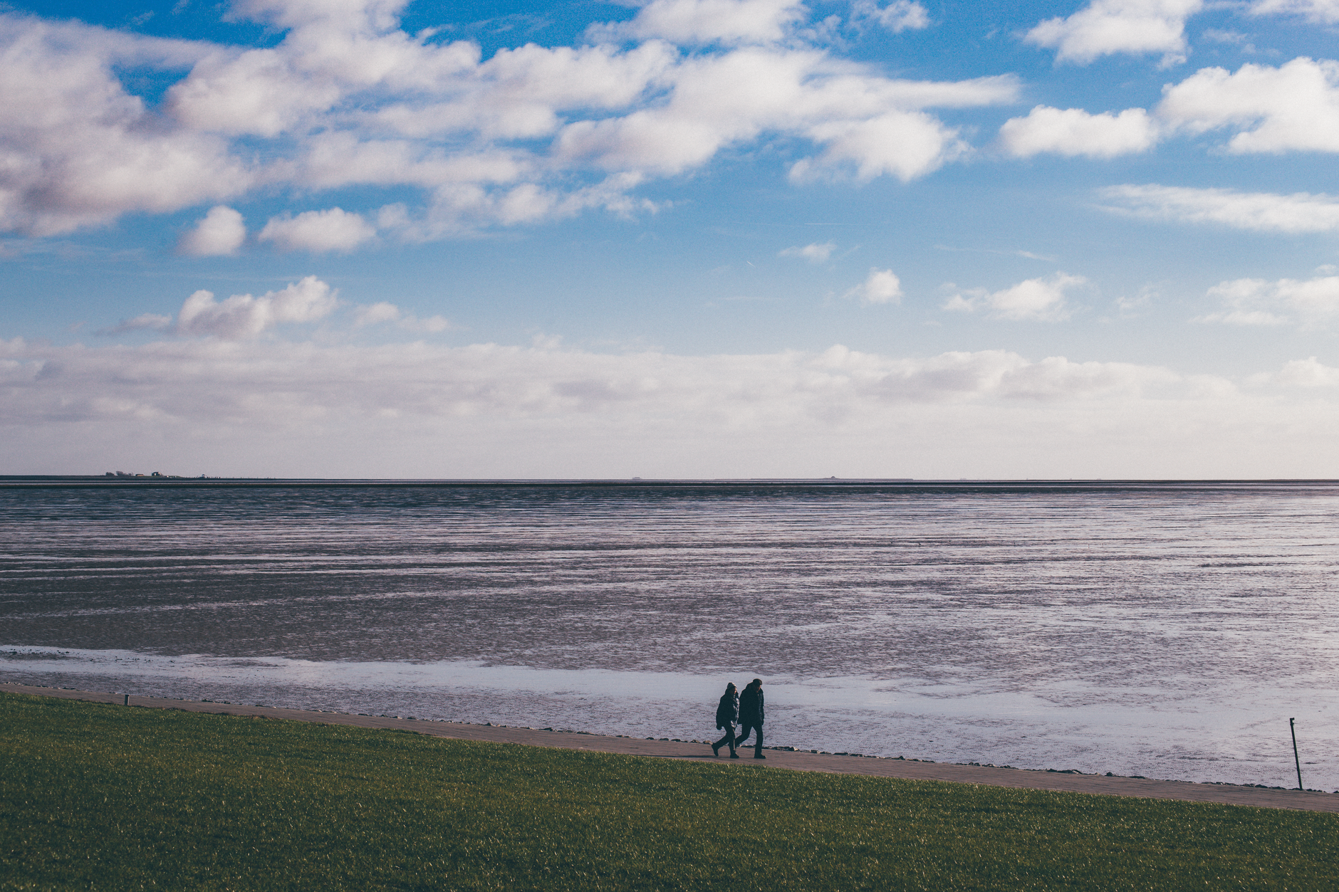
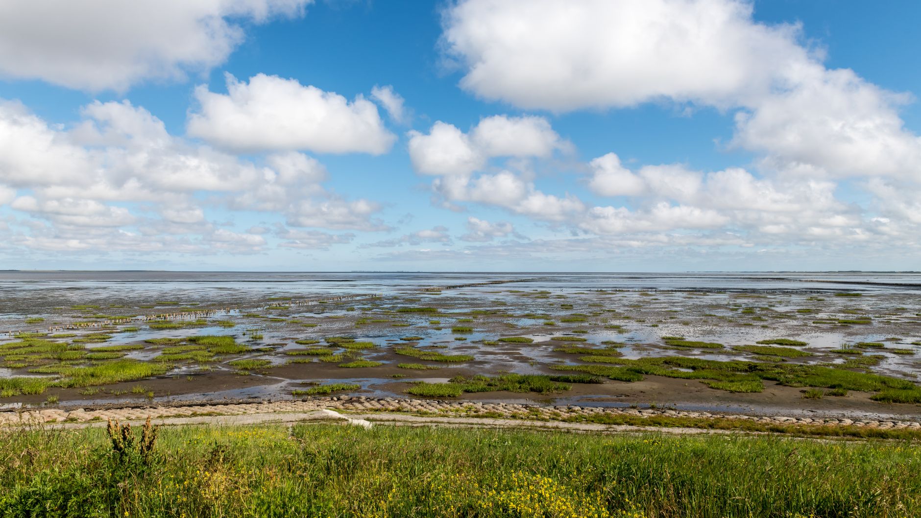
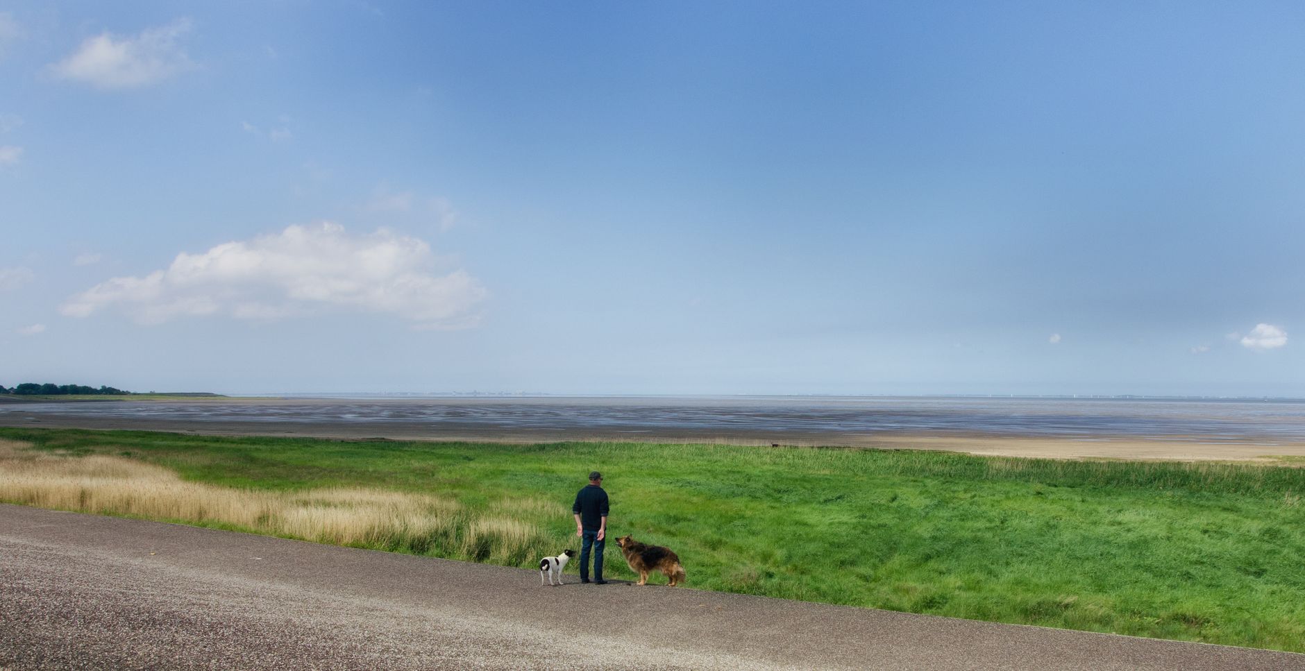
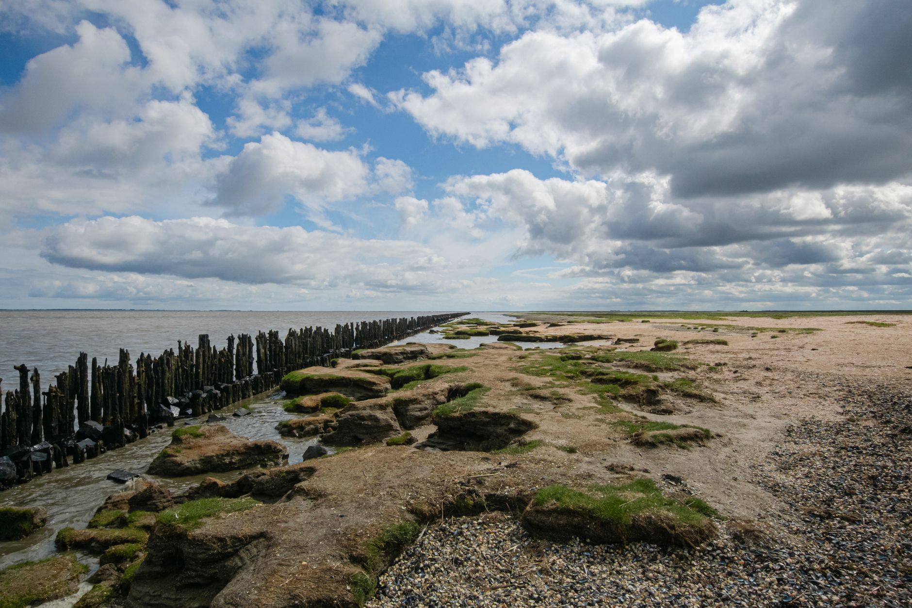
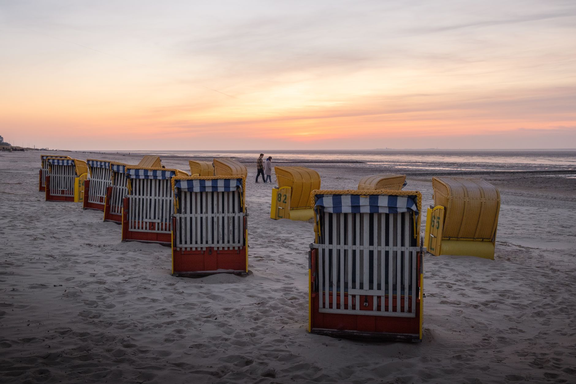
At low tide, the Wadden Sea pulls back to reveal something that looks like the floor of the world — kilometres of dark, ribbed mudflat stretching toward the horizon, tracked by wading birds and, if you join a guided walk, your own boots. This is the largest unbroken tidal flat system on earth, a UNESCO World Heritage Site shared between the Netherlands, Germany and Denmark, and the Dutch portion alone runs the full length of the country's northern coast.
Five barrier islands — Texel, Vlieland, Terschelling, Ameland, Schiermonnikoog — shelter the shallows from the North Sea. The biggest, Texel, is a 20-minute ferry ride from Den Helder. The best way to move between them, and across them, is by bicycle.
💛 What travellers fall for
People who come back tend to time a return around the tides rather than the calendar. The mudflat walks — waddentochten — go out at low tide with licensed guides; booking ahead matters in July and August. Ecomare on Texel is worth an hour even for adults, particularly if seals are in rehabilitation. The Brandaris lighthouse on Terschelling, built in 1594, is easy to miss if you don't look up.
How Wadden Sea came to be
The Wadden Sea is roughly 7,500 to 8,000 years old, formed as post-glacial sea levels rose and then slowed enough for tidal flats and salt marshes to stabilise. The coastline here was never entirely tame: the Saint Marcellus' floods of 1219 and 1362, the Burchardi flood of 1634, and the Christmas Flood of 1717 each killed thousands. Between around 800 and 1500, communities gradually dyked the marshes and reclaimed coastal peat bogs, shaping the landscape that still exists in outline today.
Until 1932, the Wadden Sea formed the northern reach of the Zuiderzee. The Afsluitdijk — the great barrier dam built between 1927 and 1932 — sealed off what became the IJsselmeer, fixing the sea's southern edge where it remains. The Dutch and German sections were inscribed on the UNESCO World Heritage List in 2009; the Danish section followed in 2014.
Who and what shaped it
Landmark buildings
See Wadden Sea in motion
Plan your visit
On the map
When to go
Summers are mild rather than warm — August averages 17 °C, with sea temperatures reaching 18–22 °C by July, which is as good as it gets for swimming. Wind is a constant companion in any season; winter brings damp, blustery days and occasional snow, which keeps the islands quiet and the light low and particular.
Right now
Background & history adapted from Wikipedia (CC BY-SA) · specs from Wikidata (CC0) · weather from Open-Meteo · map data © OpenStreetMap contributors · photos from Wikimedia Commons / Unsplash with per-image credit. No third-party reviews or social posts reproduced.