
Volcán Barú
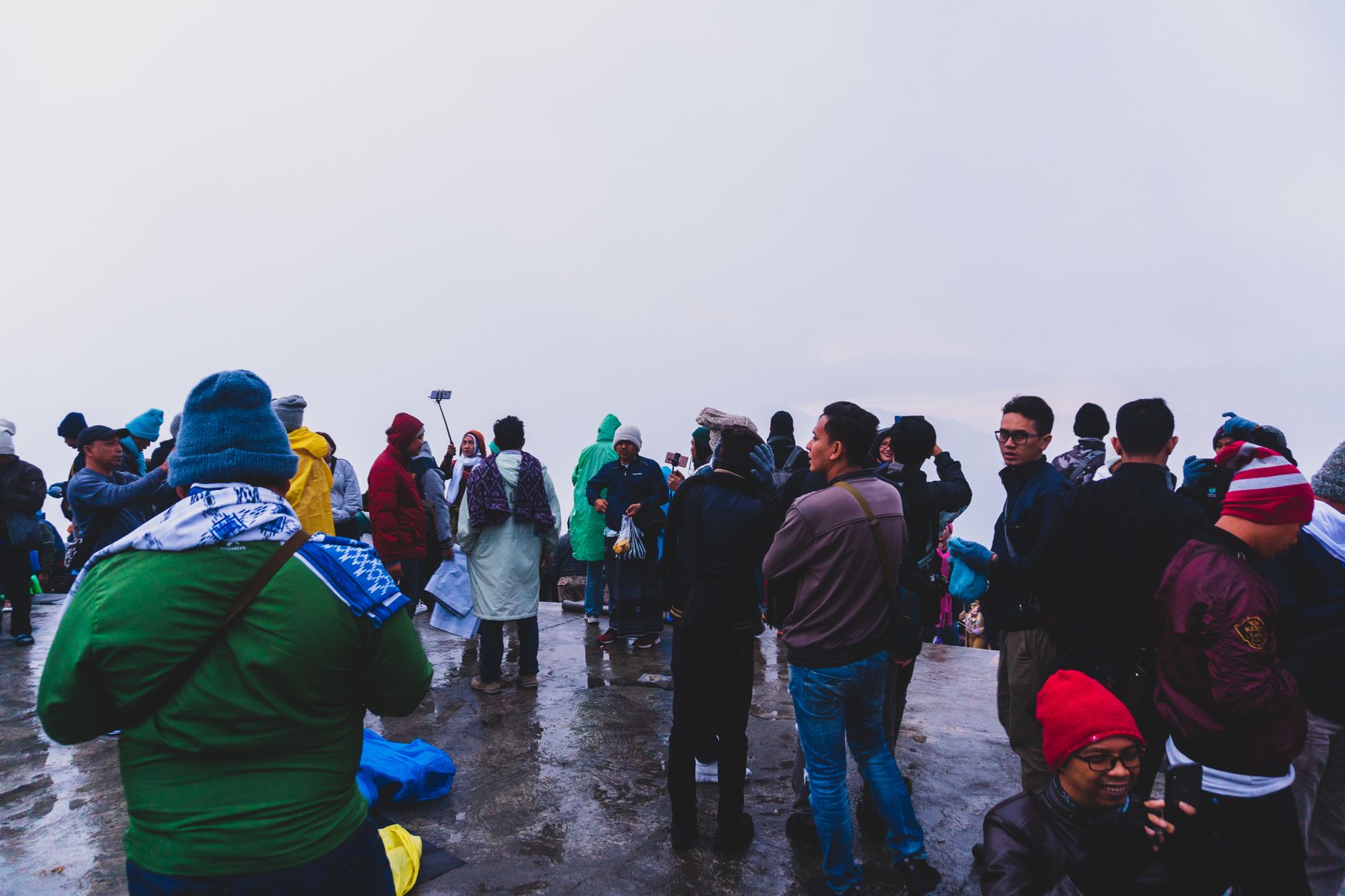
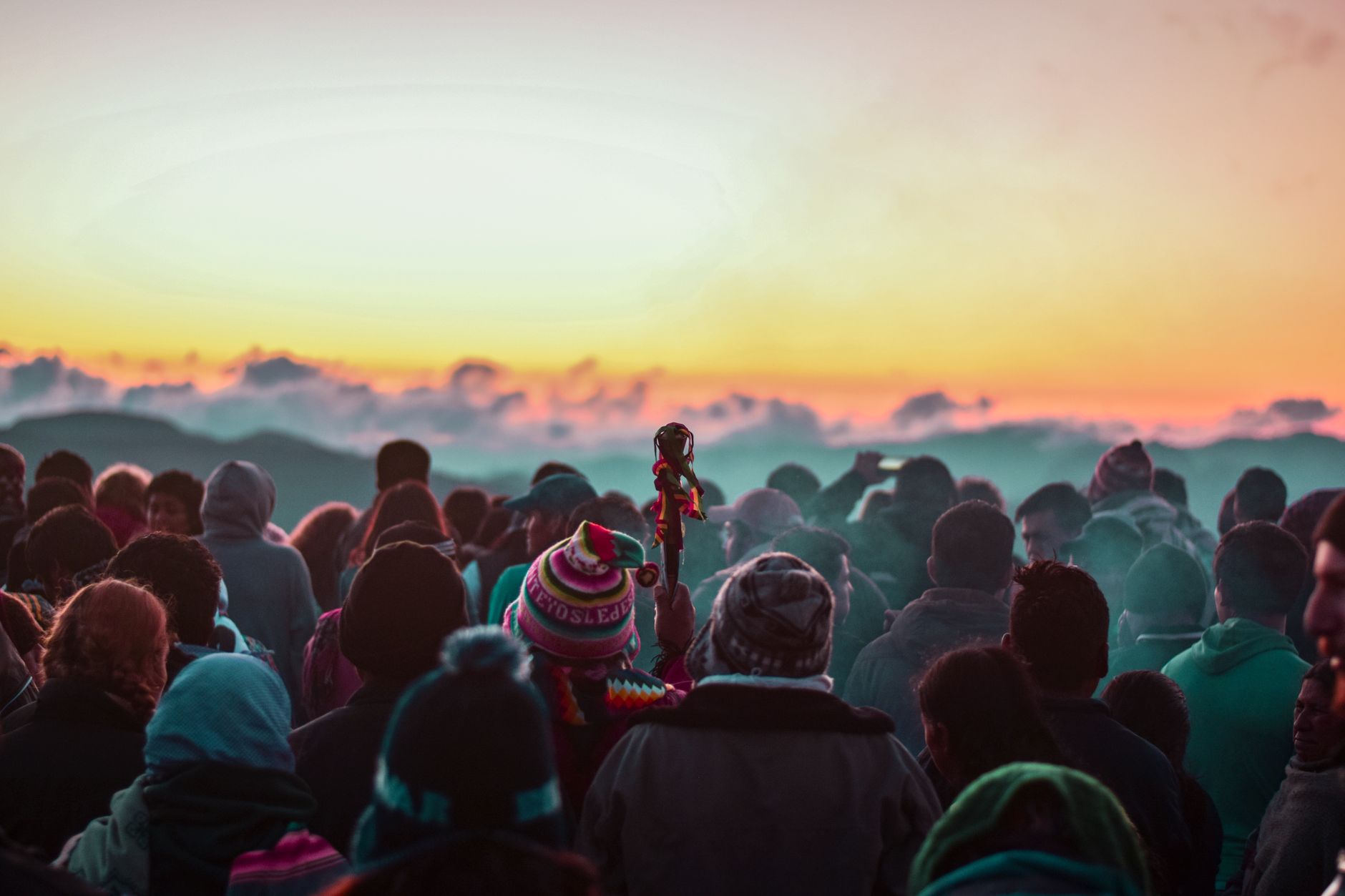
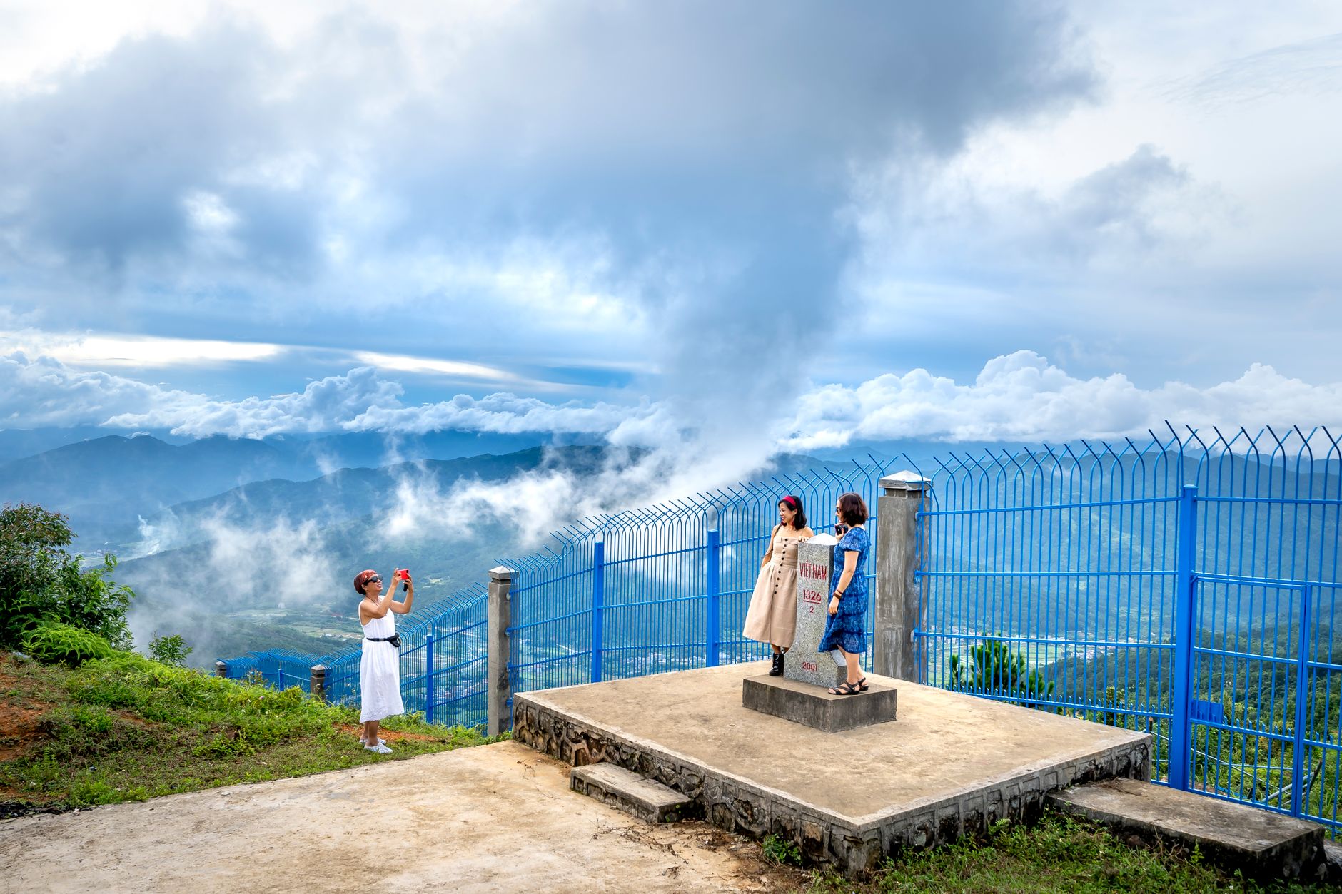
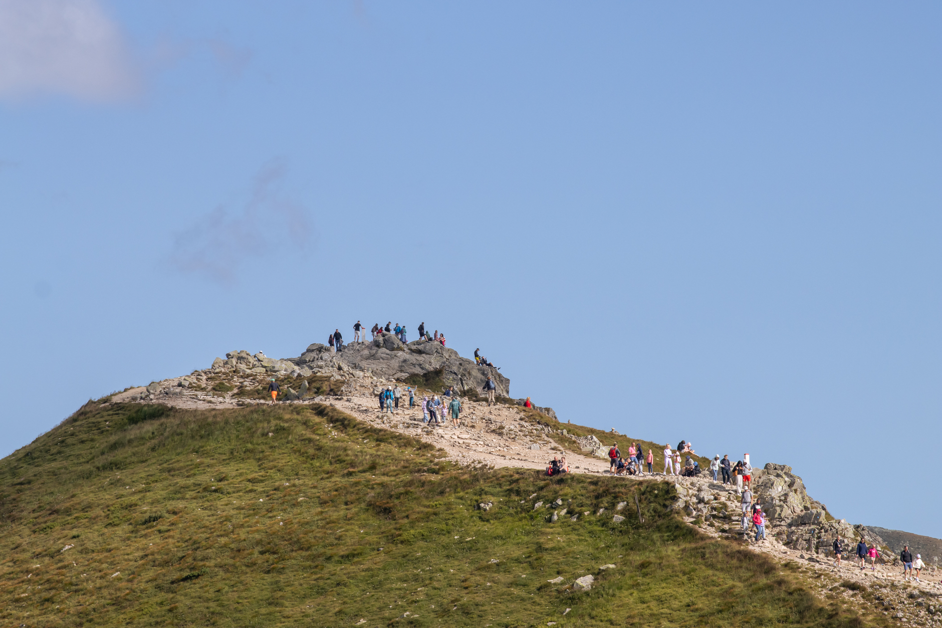
Panama's highest point rises to 3,475 metres above the Chiriquí highlands, and on a clear summit morning you can see two oceans at once — the Pacific glinting south toward the town of Volcán, the Atlantic side sending cold gusts of cloud up from the north. Getting there is a full-day undertaking: a rough jeep road of about 25 kilometres round-trip, loose rock underfoot, a steep finish, and most hikers starting somewhere between midnight and 2 AM to catch the light.
The summit itself is less pristine than the journey — communication towers, graffiti-covered rock, a few benches — but the approach through cloud forest, where resplendent quetzals nest between 1,500 and 2,500 metres, earns every step. The park limits daily entry to 68 people, guides are required, and the daily permit is not always collected at the ranger station, but registration is.
💛 What travellers fall for
People who've done the night hike mention the stars more than the sunrise. Above the cloud forest and well clear of any city glow, the sky opens up completely around 2 or 3 AM. Bring more layers than you think you'll need — summit temperatures sit around 0–10°C and the wind cuts hard — and eat something substantial before you leave Boquete.
How Volcán Barú came to be
Volcán Barú has been shaping the Chiriquí landscape for around 20 million years. Its most dramatic single event came roughly 9,000 years ago, when a massive volcanic landslide collapsed the summit, leaving a caldera six kilometres wide and sending 20 to 30 cubic kilometres of debris across the Pacific coastal plain — the largest such deposit in Central America.
Human settlement around the volcano continued through the centuries, but an explosive eruption around 700 CE ended that, burying communities to the northwest. The last confirmed eruption dates to approximately 1550 CE, with radiocarbon-dated tephra confirming activity within the past 500 years. Earthquake swarms in 1930, 1965, 1985, and 2006 are a reminder that the volcano remains active. Panama declared it a national park on June 24, 1976, covering 14,325 hectares.
Who and what shaped it
Landmark buildings
See Volcán Barú in motion
Plan your visit
On the map
When to go
The summit averages around 10°C year-round, with early-morning temperatures dropping below zero during dry season (December–April) when cold fronts push through and winds are strongest — expect frost and occasional hail. Rainy season (May–November) brings frequent afternoon precipitation and near-constant fog through the cloud forest zones, with annual rainfall above 6,000 mm at higher elevations.
Right now
Background & history adapted from Wikipedia (CC BY-SA) · specs from Wikidata (CC0) · weather from Open-Meteo · map data © OpenStreetMap contributors · photos from Wikimedia Commons / Unsplash with per-image credit. No third-party reviews or social posts reproduced.