
Visegrád
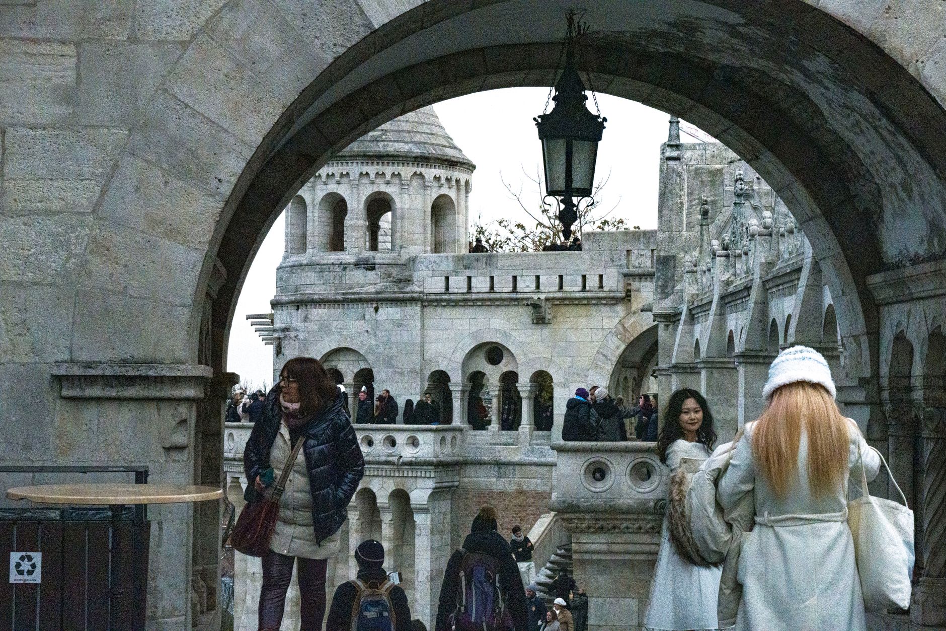
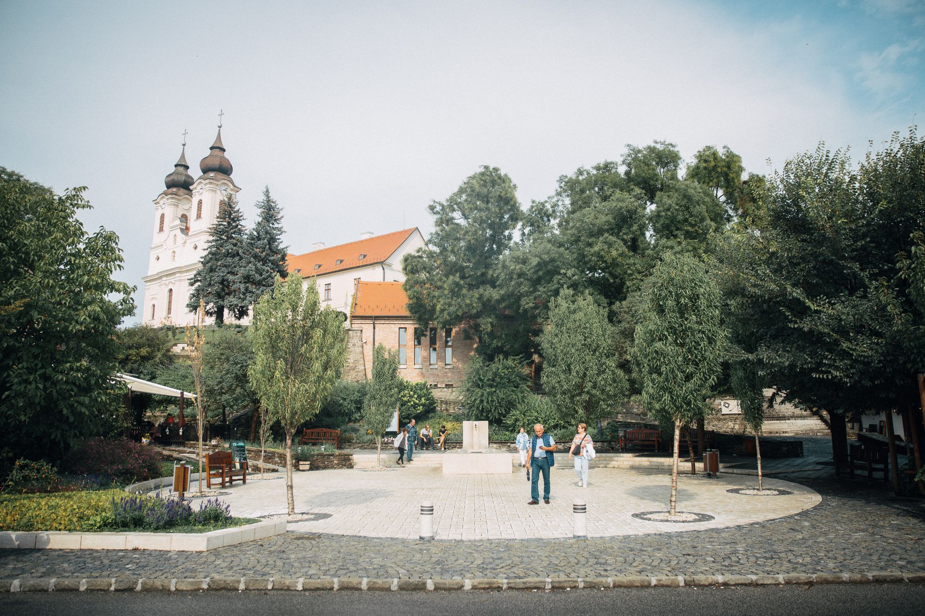
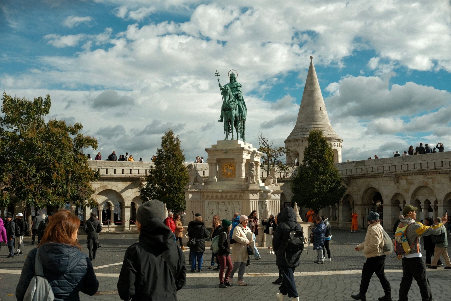

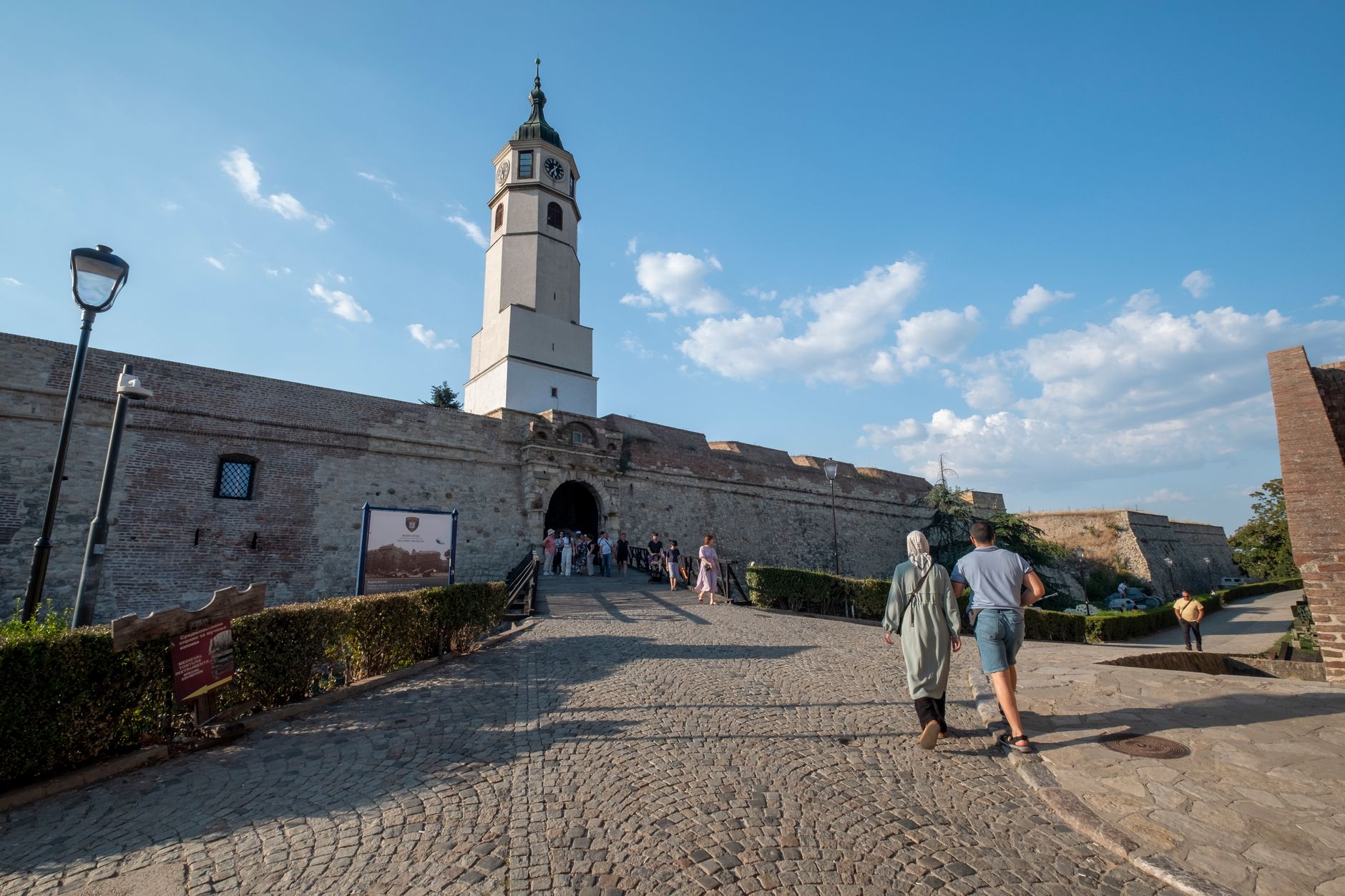
The train from Budapest drops you at Nagymaros, on the wrong bank of the Danube — and that small inconvenience turns out to be the point. You take a ferry across, and Visegrád rises ahead of you: a 31-metre tower on the riverbank, a citadel on the ridge above, and the ruins of a palace that introduced Renaissance architecture to Europe north of the Alps.
This was Hungary's royal seat in the 14th century, the stage for a congress of three medieval kings in 1335, and later the country residence of Matthias Corvinus. Most of it was buried, forgotten, or held by the Ottomans at various points. Excavations are still ongoing. What's here now is partial, layered, and genuinely worth the crossing.
How Visegrád came to be
Visegrád appears in written records as early as 1009, a county seat on the Danube bend. The Mongol invasion of 1242 destroyed the settlement, and King Béla IV responded by building the hilltop citadel — its triangular ground plan with three corner towers still visible today. His successors kept building: King Charles I made Visegrád the royal capital in 1325, and in 1335 hosted a two-month congress here with the kings of Bohemia and Poland, forging an alliance that shaped Central European politics for generations.
King Matthias Corvinus transformed the palace between 1477 and 1484, bringing Italian Renaissance decoration to Hungary — the first time that style appeared anywhere in Europe outside Italy. The Ottomans took the town in 1529, and much of the palace was eventually buried under landslide and neglect. Excavations began in 1934 and continue today.
Who and what shaped it
People who shaped it
Landmark buildings
See Visegrád in motion
Plan your visit
On the map
When to go
Summers along the Danube bend are warm and often humid, making the hilltop citadel a better morning destination before the heat builds. Spring and early autumn are the most comfortable seasons for walking between sites; winters are cold, and several attractions run reduced hours or close on weekdays between November and March.
Right now
Background & history adapted from Wikipedia (CC BY-SA) · specs from Wikidata (CC0) · weather from Open-Meteo · map data © OpenStreetMap contributors · photos from Wikimedia Commons / Unsplash with per-image credit. No third-party reviews or social posts reproduced.