
Vinson Massif

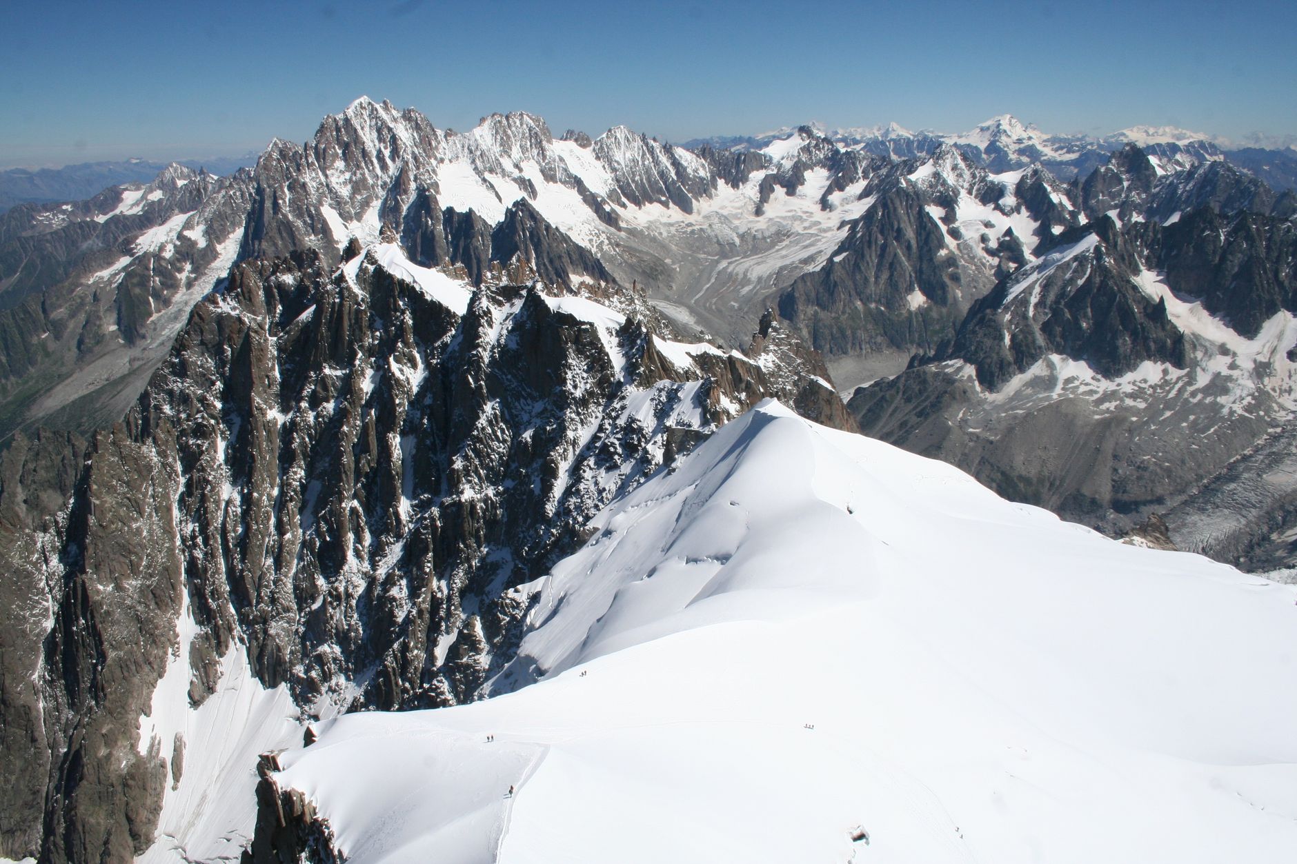
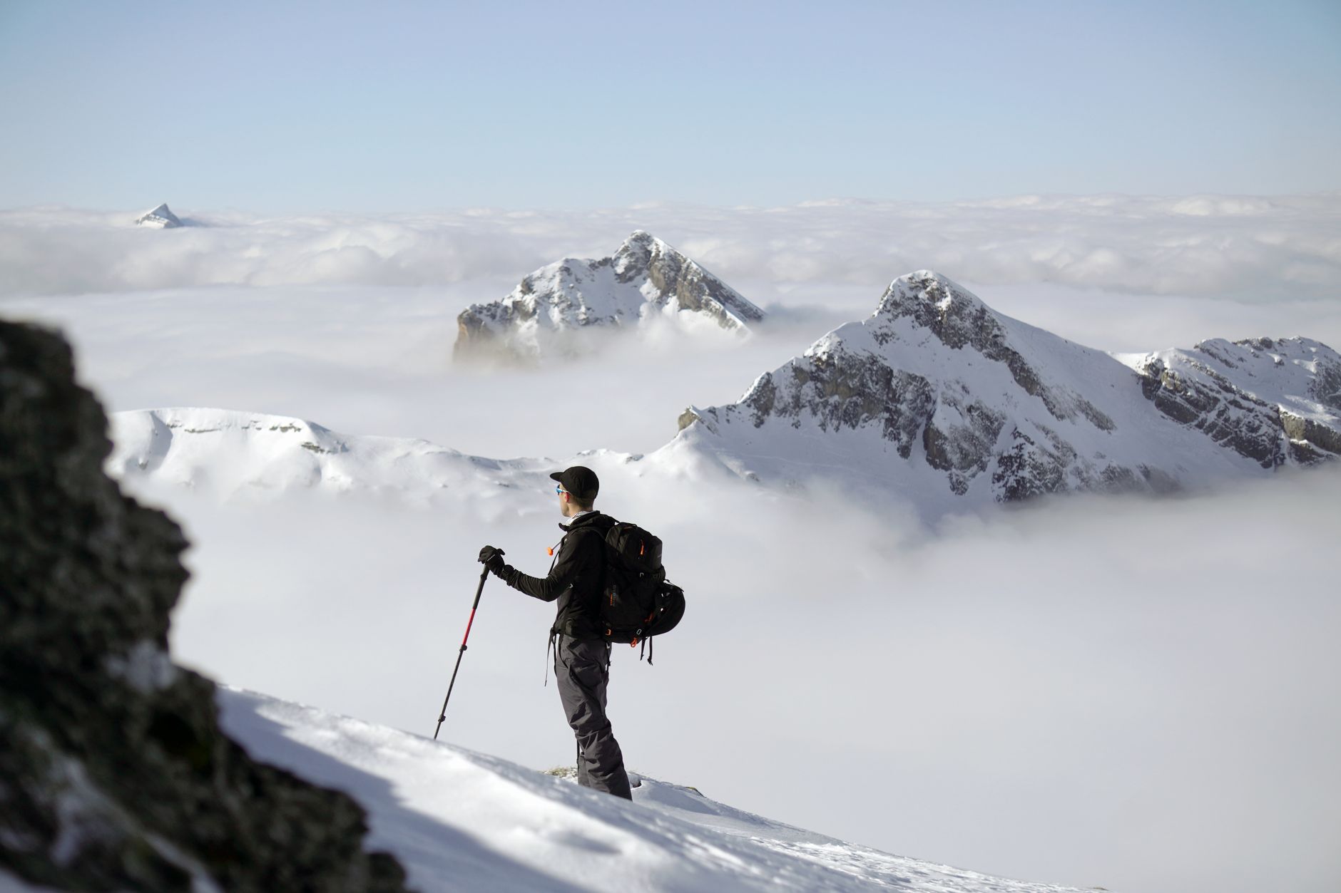
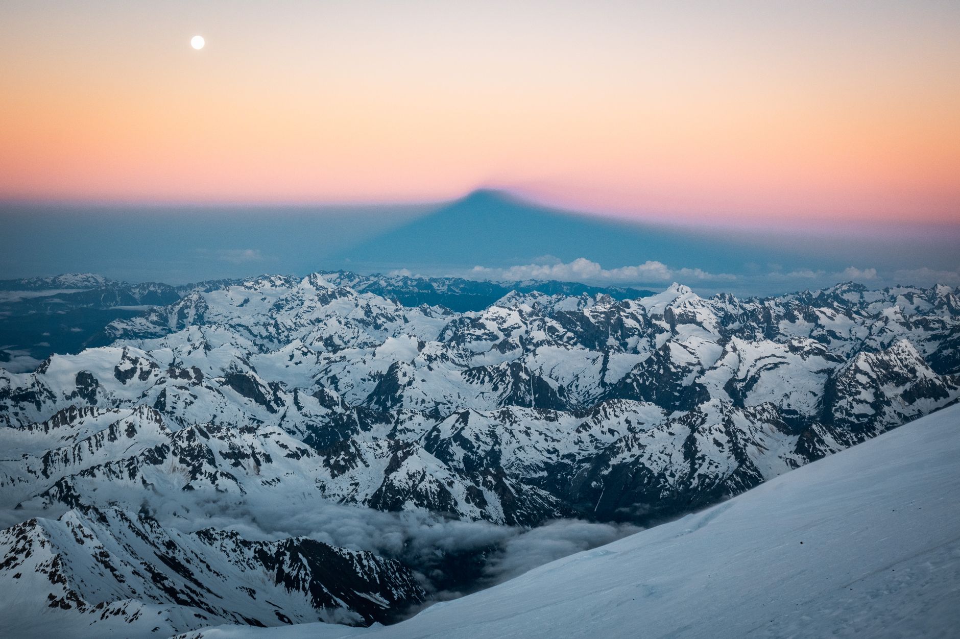
At 4,892 metres, Mount Vinson is the highest point on the coldest, driest, most remote continent on earth — a fact that sits differently once you're standing at Vinson Base Camp on the Branscomb Glacier, watching the sun circle the sky at midnight without ever touching the horizon. The massif sits deep in the Ellsworth Mountains, far from the research stations and ship routes that frame most people's idea of Antarctica.
Getting here means a flight from Punta Arenas aboard a Russian Ilyushin cargo plane to a blue-ice runway at Union Glacier, then a Twin Otter on skis for the final hour to base camp. Antarctica Logistics & Expeditions is currently the only operator running that route, which tells you something about the scale of the undertaking.
How Vinson Massif came to be
U.S. Navy aircraft spotted the massif in January 1958, during a period when Cold War-era interest in Antarctica was driving serious aerial survey work. The Advisory Committee on Antarctic Names formally named it in 1961 after Carl G. Vinson, a Georgia congressman who had championed Antarctic exploration funding through his decades in Congress.
The first ascent came in December 1966, when Nicholas Clinch led an American Alpine Club expedition — the same climber who had led the first American ascent of Gasherbrum I in 1958. Barry Corbet, John Evans, Bill Long, and Pete Schoening reached the summit on December 18th. The mountain's accepted height was revised significantly in 2004, when a GPS survey by Damien Gildea, Rodrigo Fica, and Camilo Rada fixed it at 4,892 metres — some 248 metres lower than the 1959 estimate.
Who and what shaped it
People who shaped it
Landmark buildings
See Vinson Massif in motion
Plan your visit
On the map
When to go
During the December–January climbing season, temperatures at base camp typically run between -10°C and -12°C, dropping to around -35°C or colder on summit days; high winds can arrive without much warning, and you should be equipped for -40°C at any elevation. The sun does not set during this period, which disrupts sleep in ways that take most climbers a few days to adapt to.
Right now
Background & history adapted from Wikipedia (CC BY-SA) · specs from Wikidata (CC0) · weather from Open-Meteo · map data © OpenStreetMap contributors · photos from Wikimedia Commons / Unsplash with per-image credit. No third-party reviews or social posts reproduced.