
Viñales Valley
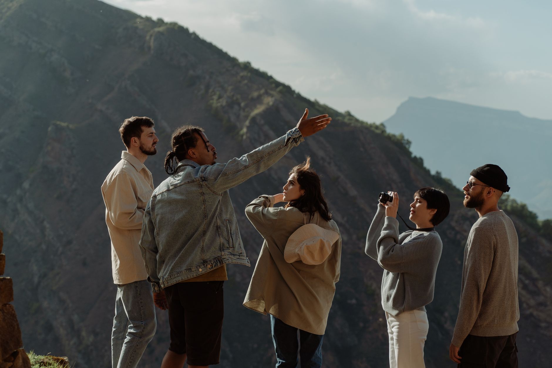
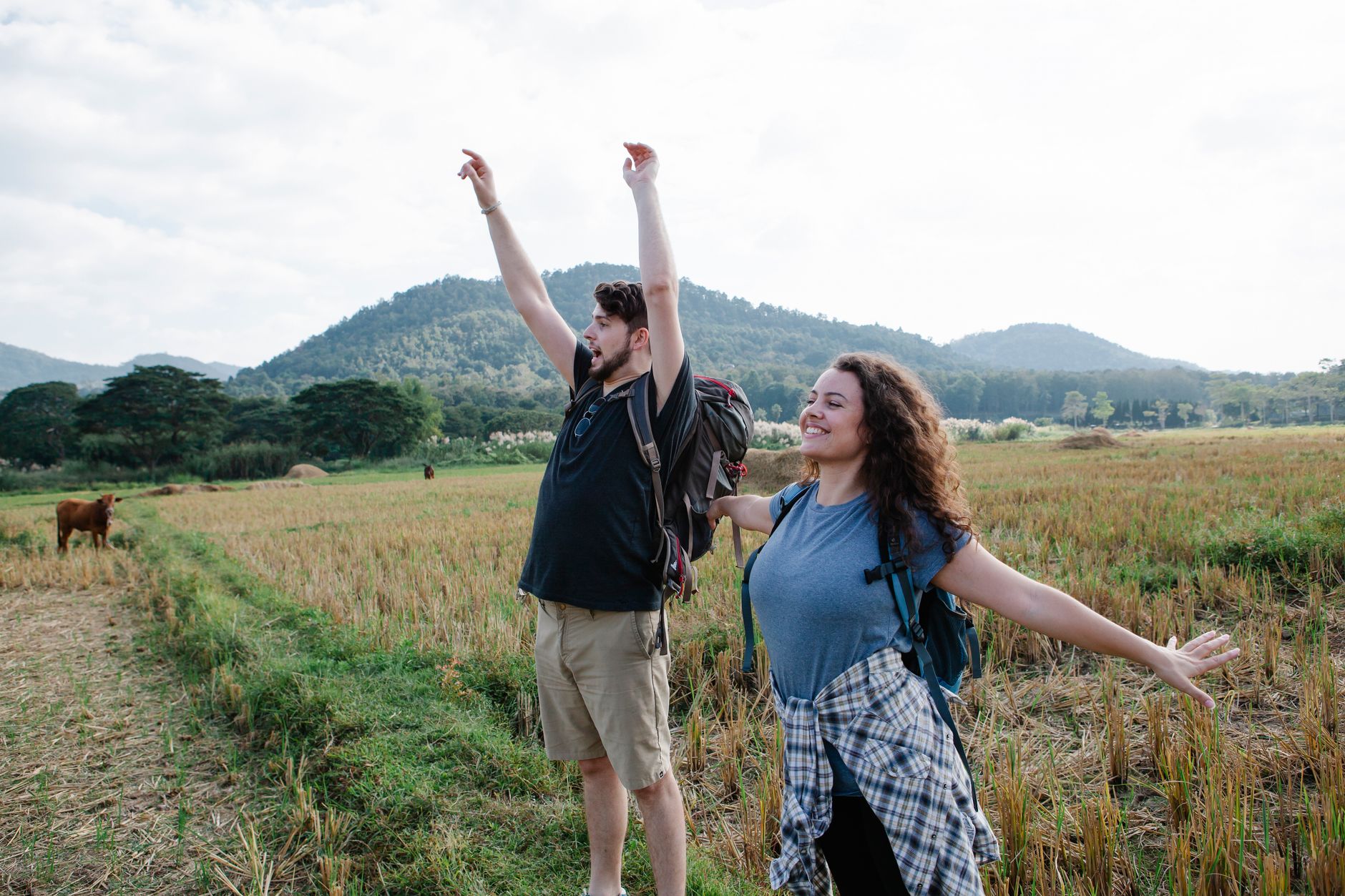
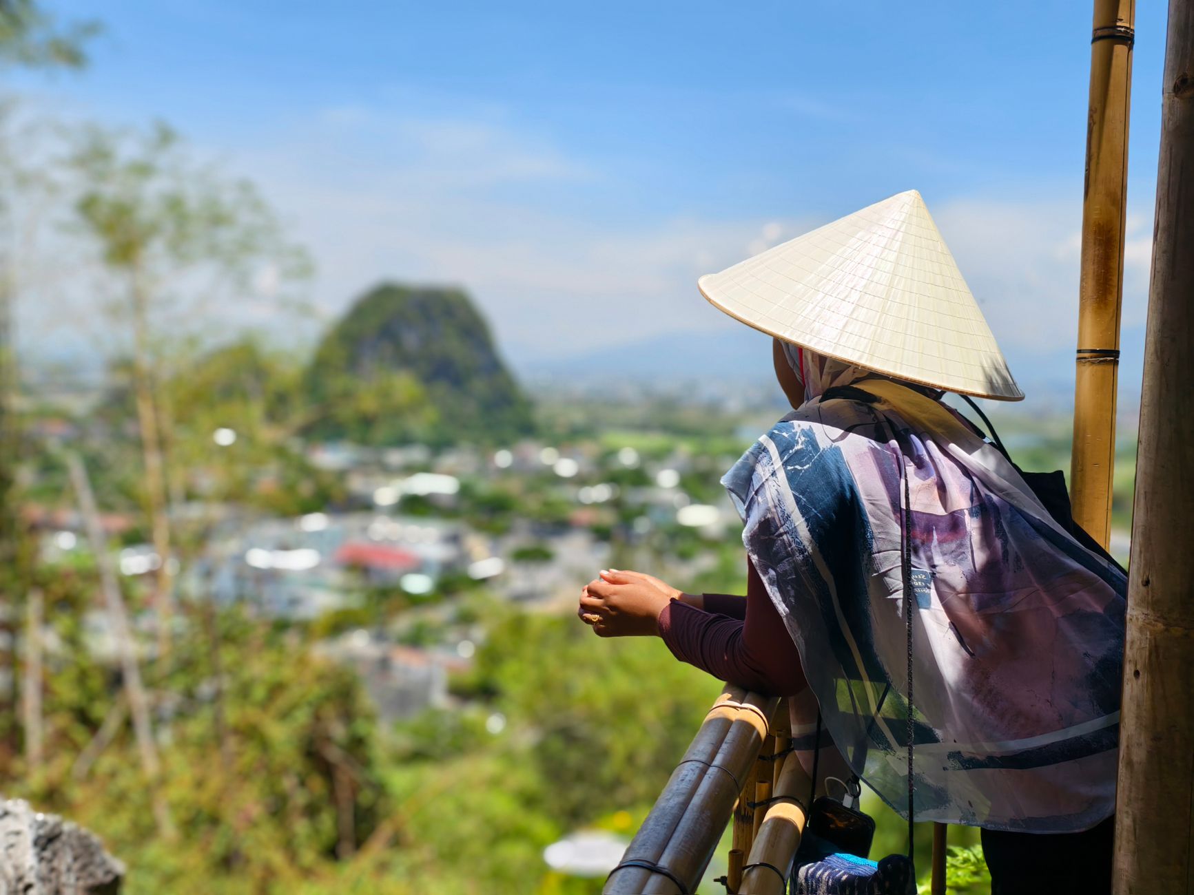
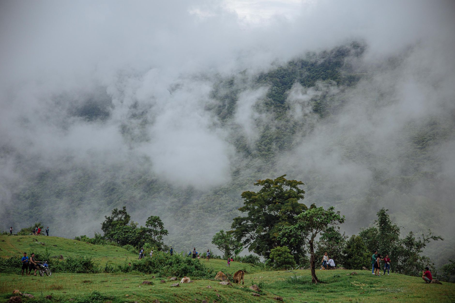
The mogotes stop you first — limestone towers rising straight out of flat farmland, up to 300 metres tall, draped in hanging vegetation, found nowhere else in Cuba. Between them, tobacco fields stretch in long green rows, and the red soil picks up the afternoon light in a way that makes the whole valley look briefly on fire.
Viñales town sits along one main road — Salvador Cisneros — where one-storey wooden houses face the street from behind shaded porches, their paint faded to soft ochres and blues. The pace here is genuinely slow, not performatively so.
💛 What travellers fall for
People who come back tend to hire a horse on the second day rather than a taxi. The valley reads differently at that speed — you pass vegas where tobacco is still dried in wooden barns, and the mogotes feel closer. Cueva del Indio's underground boat ride is short, but the river section under the limestone ceiling is worth the queue.
How Viñales Valley came to be
Spanish settlers introduced tobacco cultivation here in the 17th century, and by 1840 more than 3,000 tobacco plantations were operating across the valley. Canary Island farmers colonised the Vuelta Abajo region in the early 1800s, and the crop has defined the landscape ever since. The town of Viñales was formally founded in 1875, and the Western Railroad arrived seven years later — its station still stands.
The valley was designated a protected landscape in 1976, declared a National Monument in 1979, and inscribed as a UNESCO World Heritage Site in 1999. Beneath the surface, the Gran Caverna de Santo Tomás — 46 kilometres of passages, the largest cave system in Cuba — was mapped in detail by scientist Antonio Núñez Jiménez in the mid-20th century, work that founded the Cuban Society of Speleology.
Who and what shaped it
People who shaped it
Landmark buildings
See Viñales Valley in motion
Plan your visit
On the map
When to go
November through April brings dry, sunny days — temperatures ranging from around 18°C at night to the low 30s by afternoon, with eight or more hours of sun. The wet season runs May through October, peaking in June, and hurricane risk is real from June to November.
Right now
Background & history adapted from Wikipedia (CC BY-SA) · specs from Wikidata (CC0) · weather from Open-Meteo · map data © OpenStreetMap contributors · photos from Wikimedia Commons / Unsplash with per-image credit. No third-party reviews or social posts reproduced.