
Vejer de la Frontera
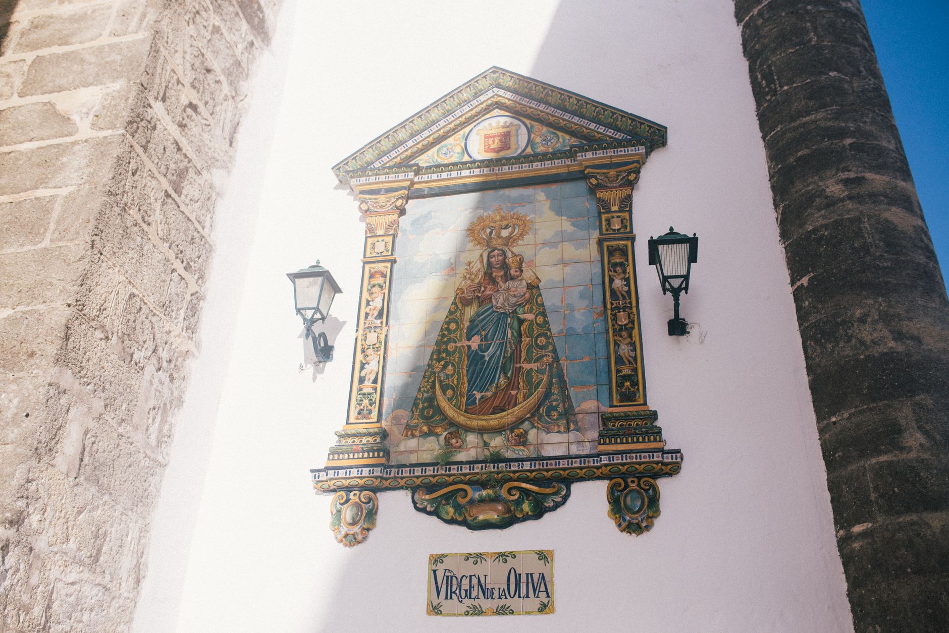
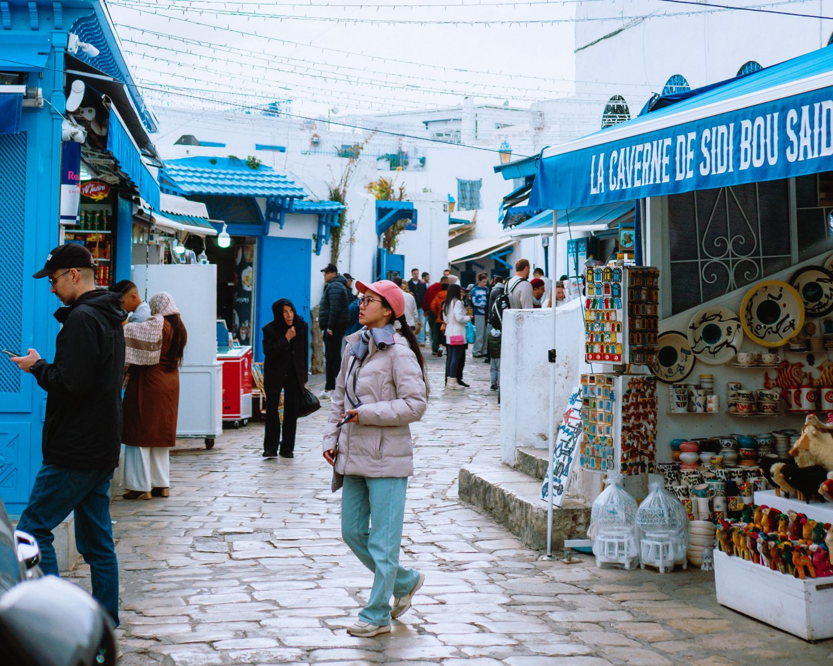
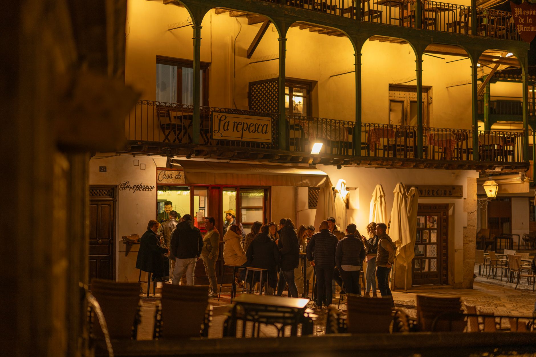
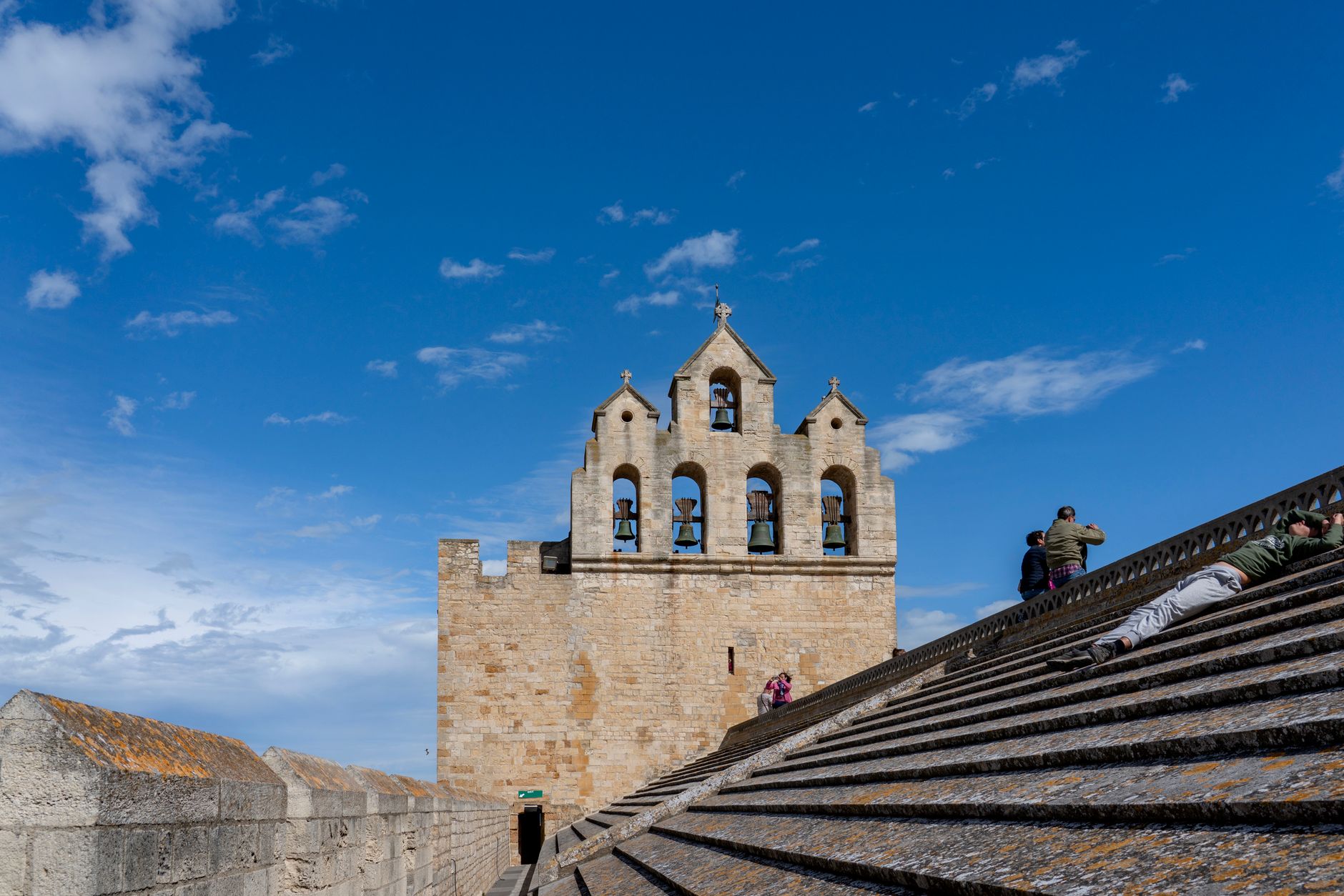
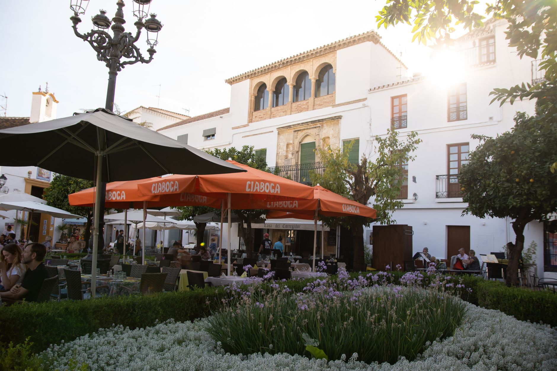
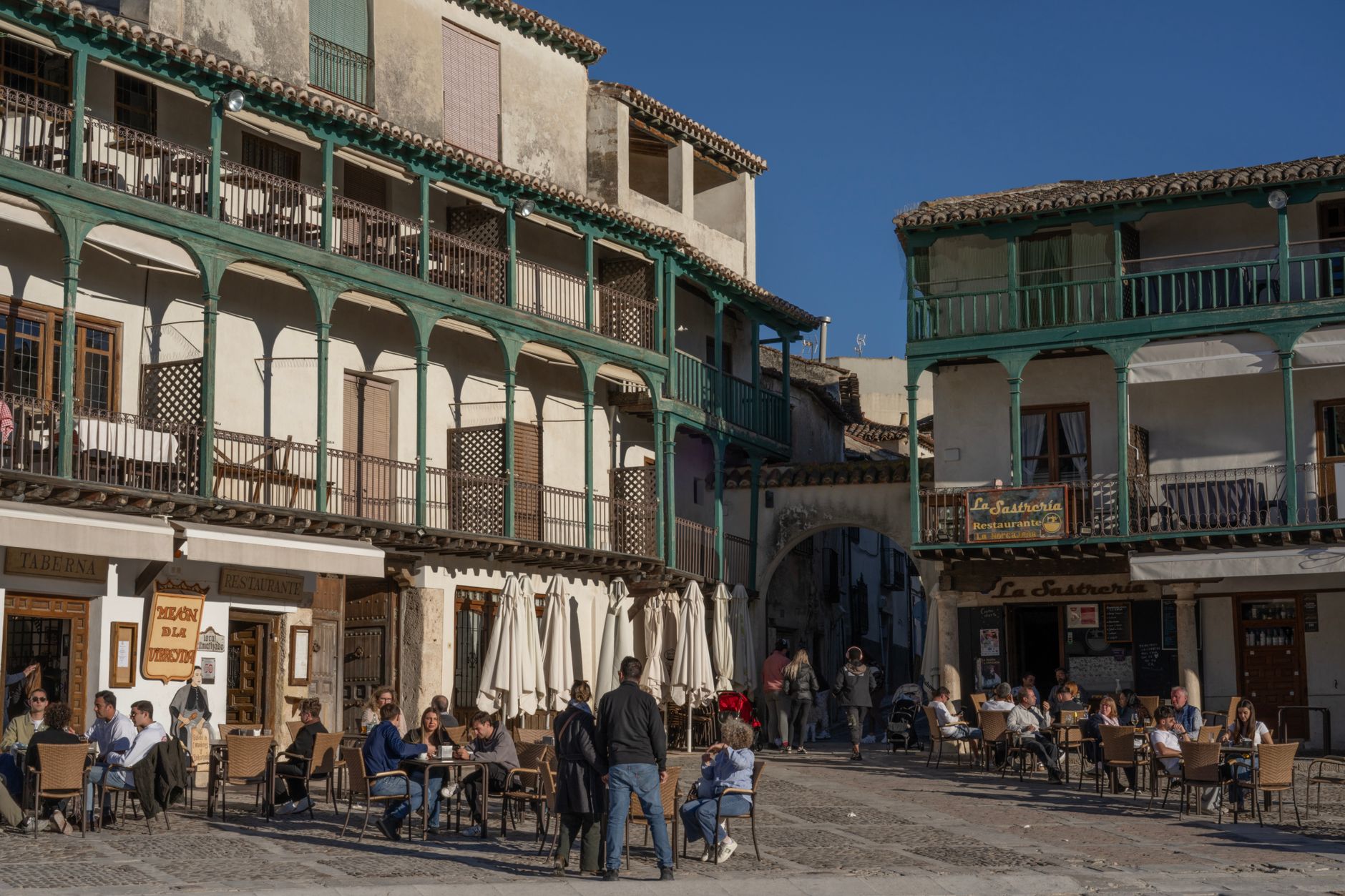
From the road below, Vejer de la Frontera looks like someone stacked a whitewashed town on a hilltop and forgot to stop. The streets are so narrow in places that two people with shopping bags have to negotiate passage, and the walls — two kilometres of them, still standing, still two metres thick — make it clear this place was built to hold a line. That line was a real one: for nearly two centuries, Vejer sat on the frontier between Muslim and Christian kingdoms, and the name has carried that fact ever since.
The town moves slowly. The plaza has a tiled fountain with four small frogs spouting water, and on weekday mornings it belongs mostly to the people who live here.
💛 What travellers fall for
People who come back tend to time it around the evening light, when the white walls go amber and the cobblestones are still warm underfoot. They know to look for the black sculpture of La Cobijada outside the Moorish gates — she's easy to walk past the first time. The Church of Divino Salvador is free to enter and almost always quiet.
Deals in Vejer de la Frontera
Book directly at the provider
How Vejer de la Frontera came to be
Settlement here goes back at least to around 400 BC, with the name likely rooted in the Carthaginian 'Wadi-Baka.' Rome took the region in 216 BC, and in 711 AD the Moors arrived after the Battle of La Janda, renaming the place Vejer de la Miel — Vejer of the Honey — for the beehives kept nearby. Ferdinand III claimed it for Castile in 1250, the Arabs retook it in 1264, and the Christians held it again from 1285. That back-and-forth is why the suffix 'de la Frontera' exists.
In 1293, Guzmán became the town's first mayor; later, Fernando IV gave him the whole town as a reward, establishing the ducal house of Medina Sidonia. In the 15th century, a man named Juan Relinque led the townspeople in revolt against that same Guzmán family. Offshore, history intruded again in 1805, when Nelson's fleet destroyed the French and Spanish armada at nearby Cape Trafalgar.
Who and what shaped it
People who shaped it
Landmark buildings
See Vejer de la Frontera in motion
Plan your visit
On the map
When to go
Summers are hot and dry — July and August regularly push above 35°C, and the hilltop catches a breeze that makes it bearable but not cool. Spring (March to May) and autumn (September to October) bring mild temperatures and clear skies, which suit the walking this town demands.
Right now
Background & history adapted from Wikipedia (CC BY-SA) · specs from Wikidata (CC0) · weather from Open-Meteo · map data © OpenStreetMap contributors · photos from Wikimedia Commons / Unsplash with per-image credit. No third-party reviews or social posts reproduced.