
Uttarakhand
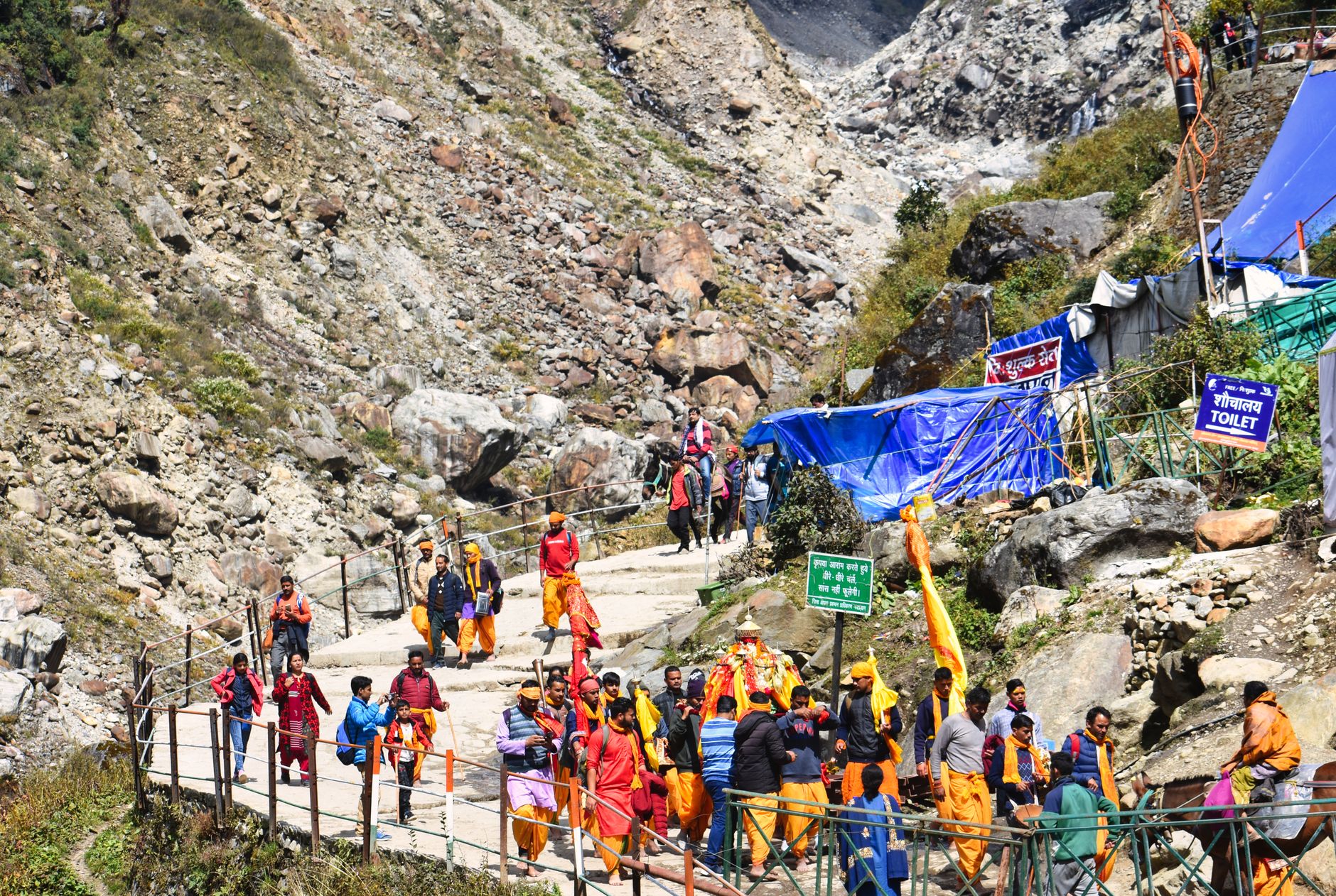
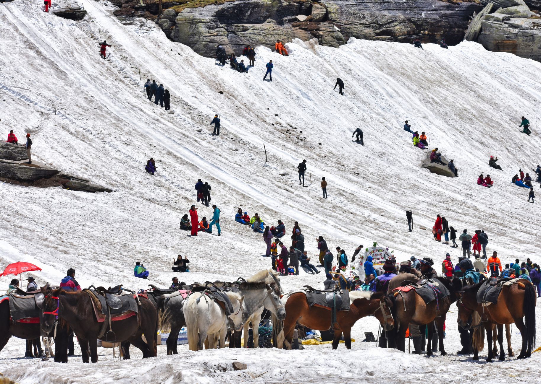
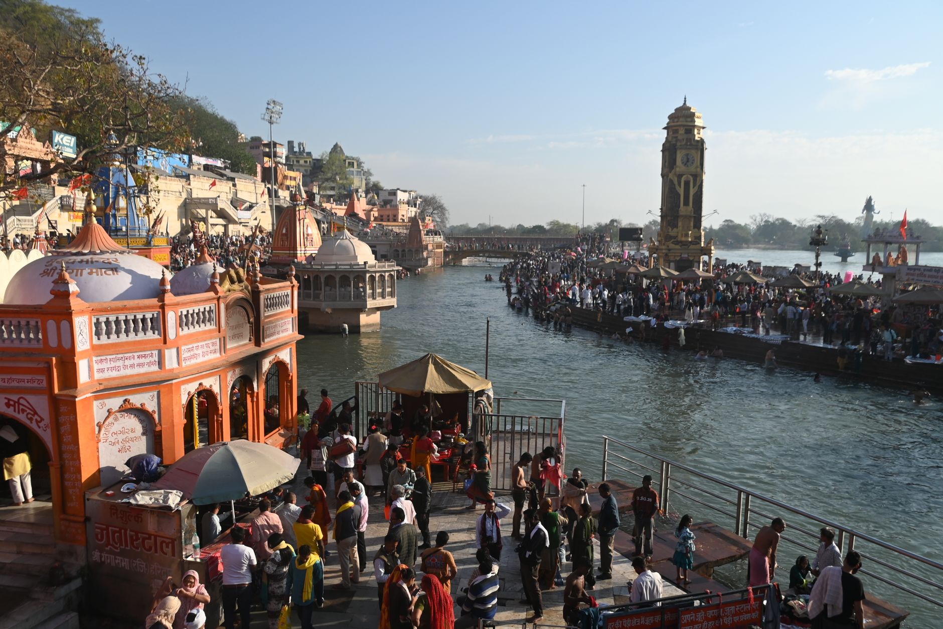

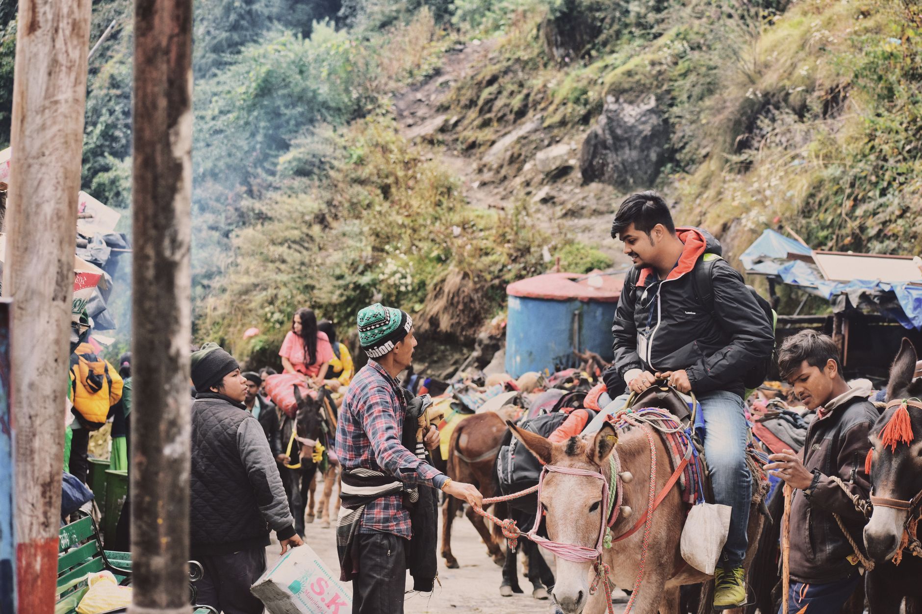
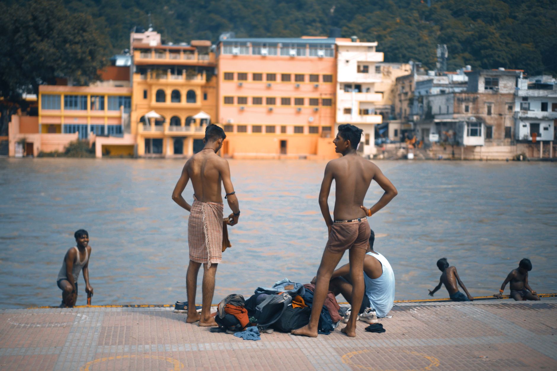
Uttarakhand is where the Himalayas stop being a backdrop and become the whole point. The state holds the headwaters of the Ganga and the Yamuna, four of Hinduism's most sacred temples strung along high-altitude routes, and a landscape that shifts from subtropical foothills to glaciated peaks within a single day's drive. Pilgrims have been moving through these valleys for centuries, and you'll feel that weight of purpose in the mountain air.
The region divides into two broad territories: Garhwal in the west, home to the Char Dham shrines and the hill capital Dehradun, and Kumaon in the east, quieter, more forested, centred on Nainital and Almora. Both reward slow travel.
💛 What travellers fall for
People who keep coming back tend to say the same thing: go in May before the monsoon crowds the pilgrimage roads, or in September when the rains clear and the peaks sharpen against a washed sky. Jageshwar, the cluster of 124 Shiva temples in the deodar forest outside Almora, gets far fewer visitors than the Char Dham circuit and repays the detour.
How Uttarakhand came to be
The region's recorded past reaches back to the Kuninda dynasty of the second century BCE, and Stone Age rock shelters at Lakhudyar near Almora push the human story much further. Through the medieval period, the Katyuri and Chand dynasties shaped the cultural landscape — the Katyuris commissioned the Katarmal Sun Temple in the 9th century and the constellation of temples at Dwarahat; the Chand rulers extended their patronage across Kumaon for centuries after.
Kedarnath Temple is attributed to the Pandavas and was later revived by Adi Shankaracharya in the 8th century. Gangotri Temple was built by the Gorkha general Amar Singh Thapa in the early 18th century. The modern state itself arrived on 9 November 2000, carved out of Uttar Pradesh after a movement for a separate hill state that had roots as far back as 1930.
Who and what shaped it
People who shaped it
Landmark buildings
See Uttarakhand in motion
Plan your visit
On the map
When to go
Summers (April–June) are mild in the hills and the clearest window for high-altitude trekking and pilgrimage. The monsoon (July–September) brings heavy rain and landslide risk on mountain roads, though the valleys turn intensely green. Winter above 2,000 metres is cold and often snowbound; lower foothills and towns like Dehradun stay accessible year-round.
Right now
Background & history adapted from Wikipedia (CC BY-SA) · specs from Wikidata (CC0) · weather from Open-Meteo · map data © OpenStreetMap contributors · photos from Wikimedia Commons / Unsplash with per-image credit. No third-party reviews or social posts reproduced.