
Utrecht
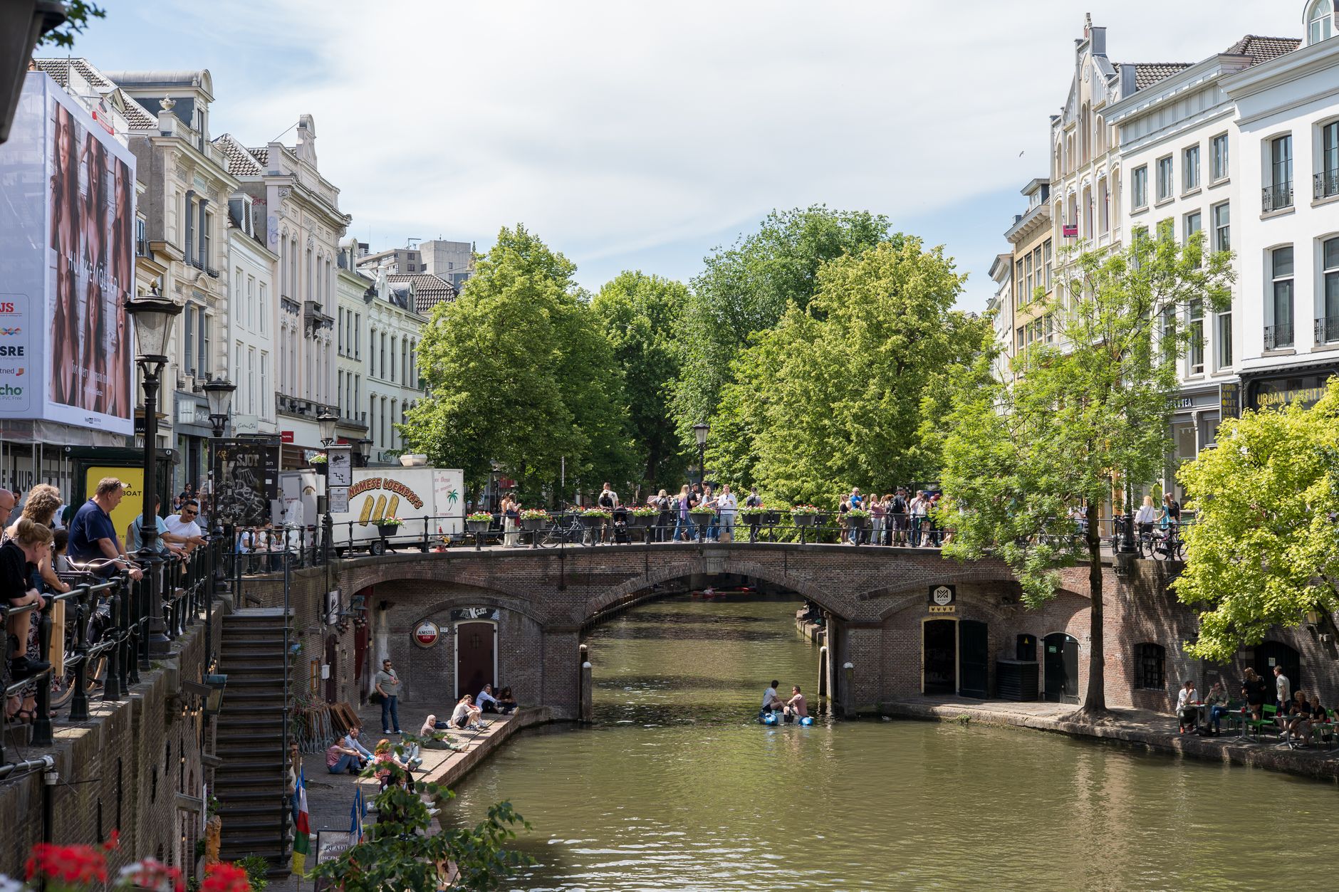
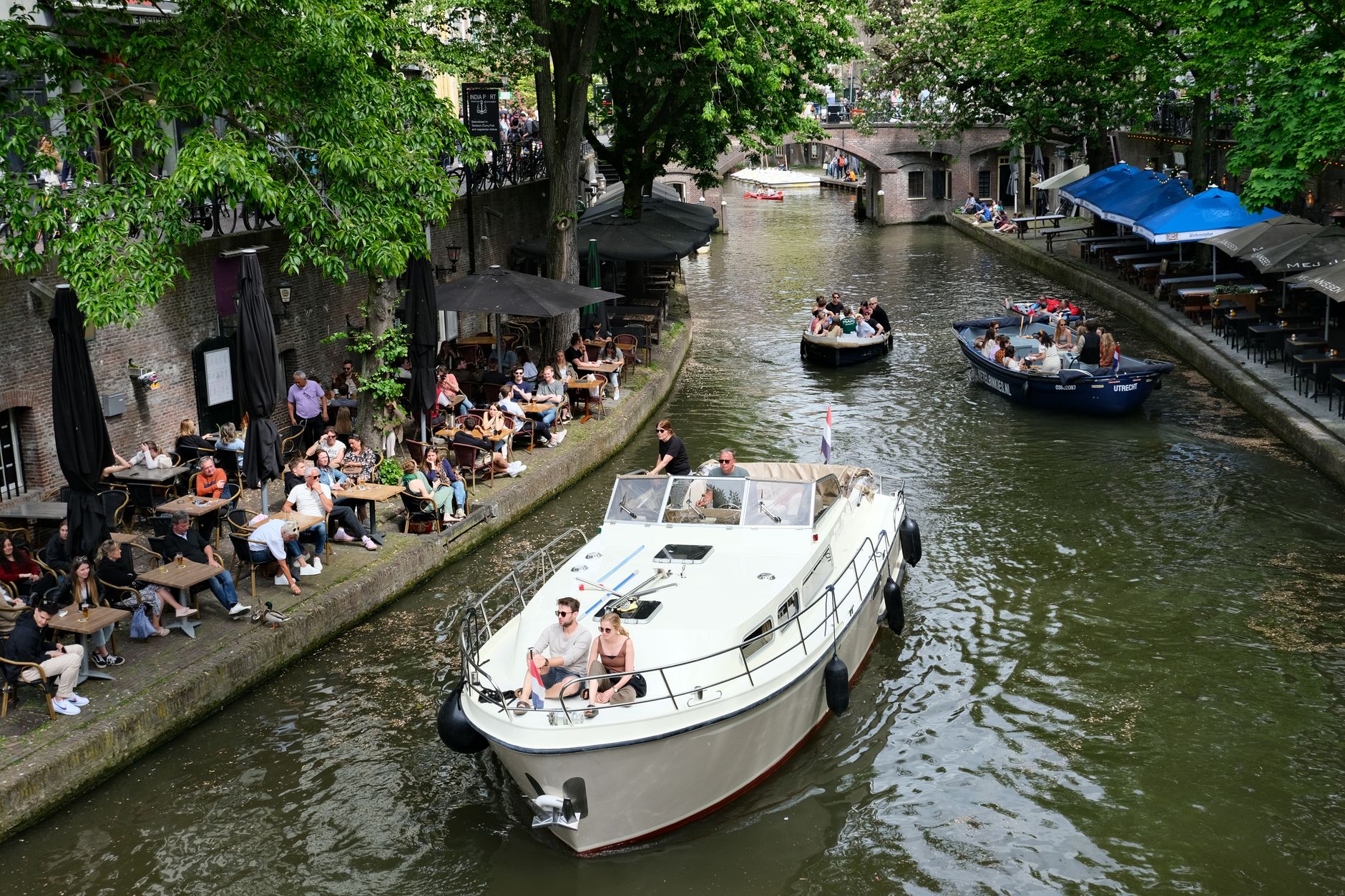
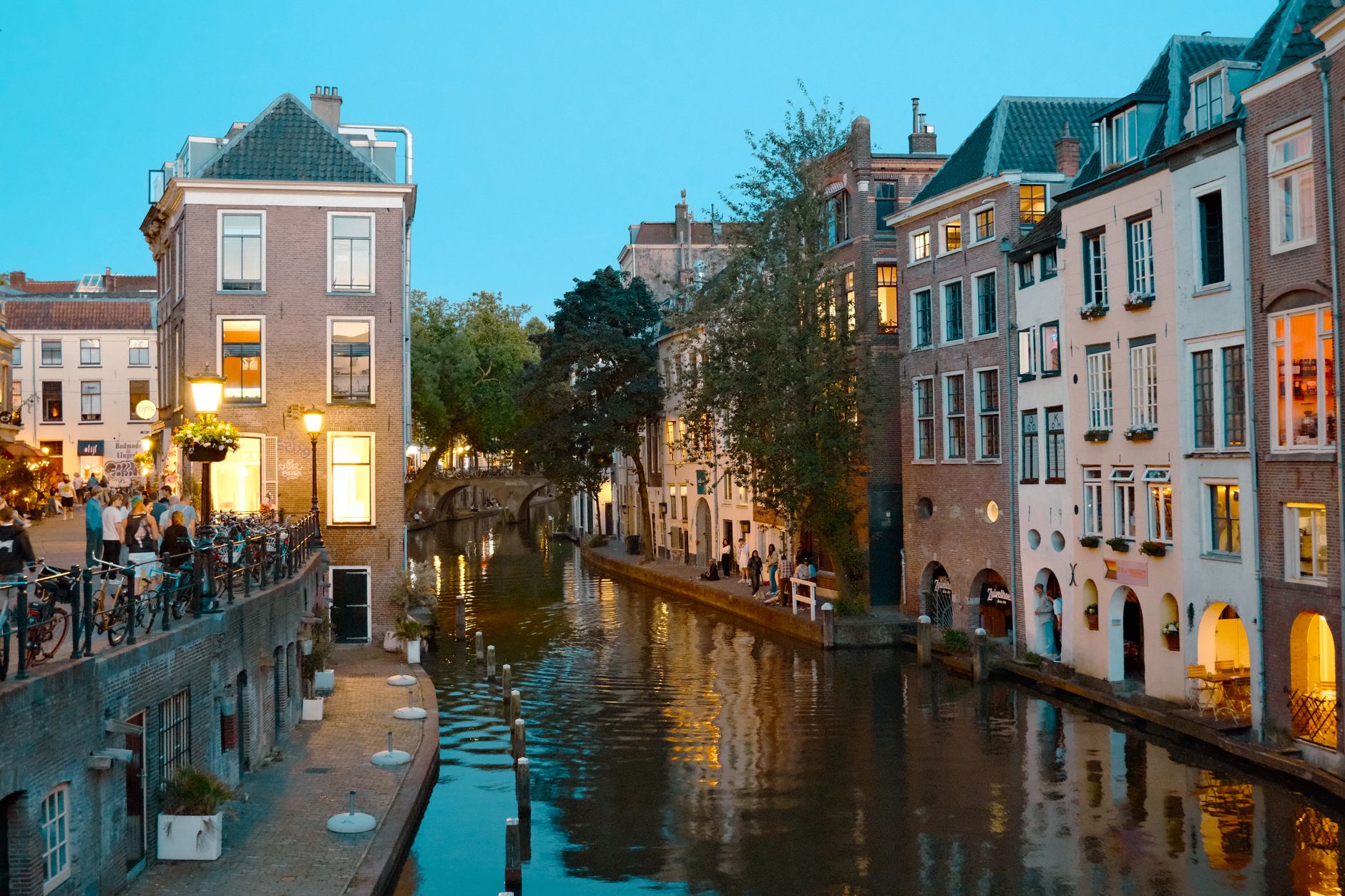
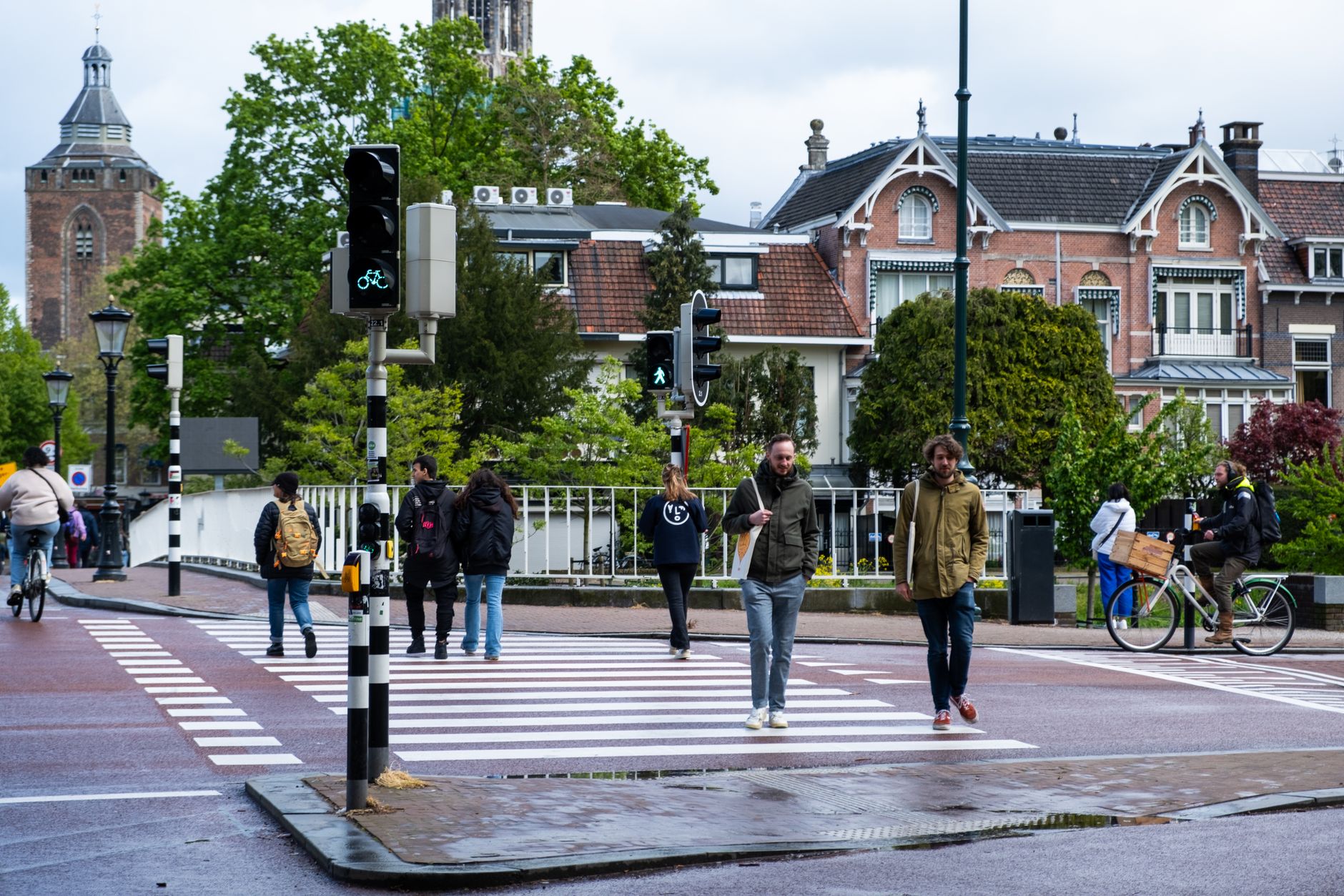
Utrecht announces itself with a tower standing alone in the middle of a square — the Dom, 112 metres of 14th-century ambition, its nave long gone after a storm tore it down in 1674 and left the tower to stand free. That gap in the stonework, sky where a cathedral ceiling should be, tells you something about how Utrecht works: history here is physical and a little strange.
As a region, Utrecht is compact enough to cross by train in under half an hour, yet dense with layers. The city at its centre is the country's rail hub — every line seems to pass through Utrecht Centraal — and from there you can reach the Rhine-era archaeology beneath Domplein, the neogothic towers of Kasteel de Haar, or a string of medieval churches within easy walking distance of each other.
How Utrecht came to be
The Romans planted a fortress here around 50 AD, at a Rhine crossing they called Traiectum — a name that eventually bent itself into Utrecht. The site anchored the northern edge of the Limes Germanicus, Rome's frontier line. In 696, Saint Willibrord arrived and made Utrecht a bishop's see, beginning the city's long role as a religious centre for the Low Countries. Henry V granted city rights on 2 June 1122.
The Union of Utrecht, signed here on 25 January 1579, bound the northern provinces together and laid the groundwork for the Dutch Republic. Nearly a century later, in 1674, a violent storm collapsed the unfinished nave of the Dom Church, leaving the tower — completed between 1321 and 1382 by designer John of Hainaut — standing alone, which it has done ever since.
Who and what shaped it
People who shaped it
Landmark buildings
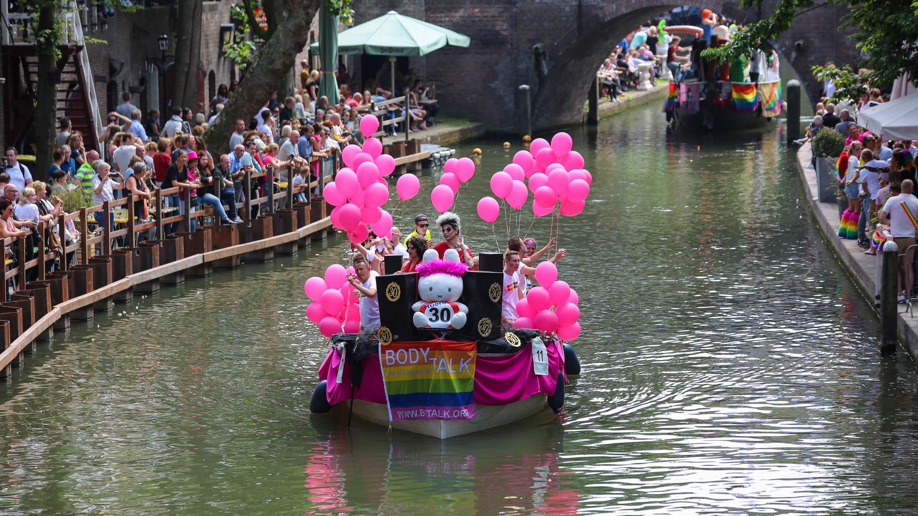
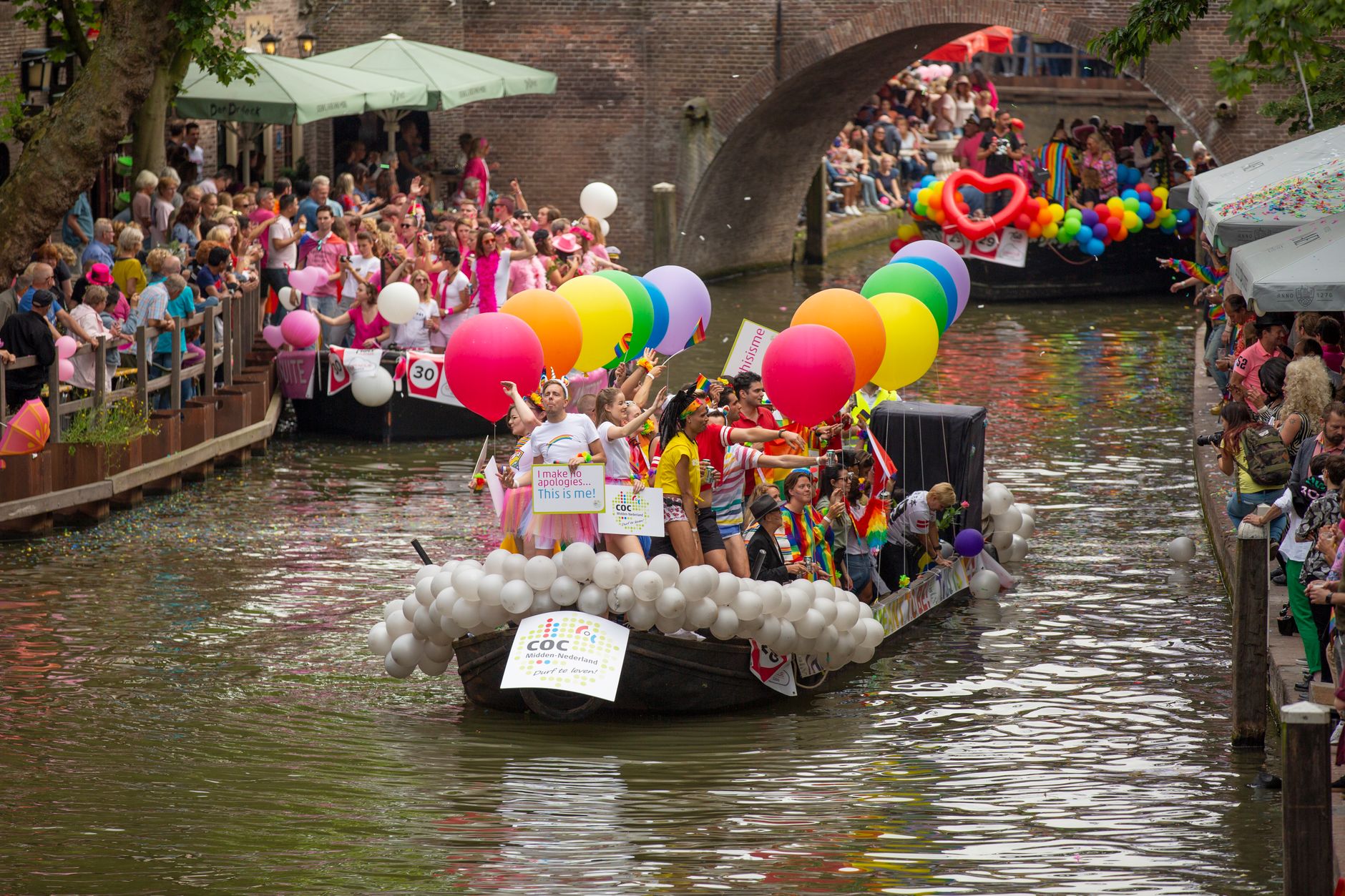
See Utrecht in motion
Plan your visit
On the map
When to go
Utrecht has a temperate oceanic climate: mild summers peaking around 22°C in August, cool winters between 1°C and 6°C, and rain spread fairly evenly across the year with April the driest month. Spring and early autumn offer the most comfortable conditions for walking the centre, though the city rewards a visit in any season.
Right now
Background & history adapted from Wikipedia (CC BY-SA) · specs from Wikidata (CC0) · weather from Open-Meteo · map data © OpenStreetMap contributors · photos from Wikimedia Commons / Unsplash with per-image credit. No third-party reviews or social posts reproduced.