
Umm Al Quwain
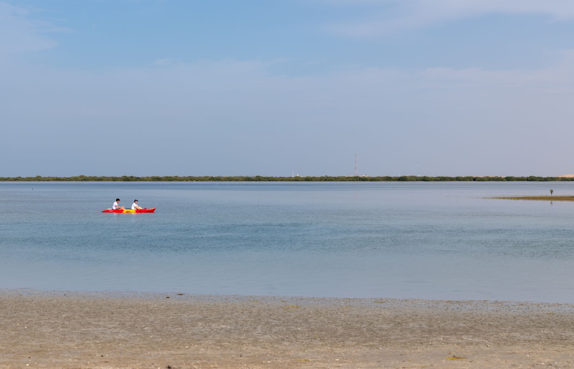
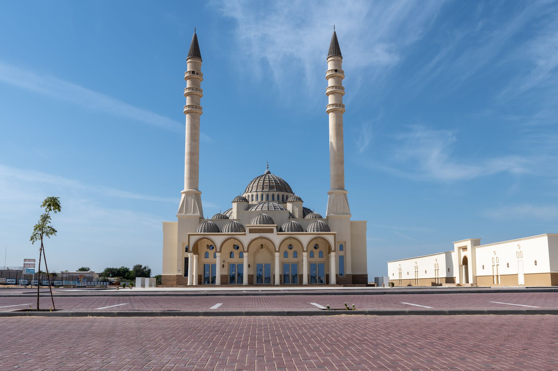
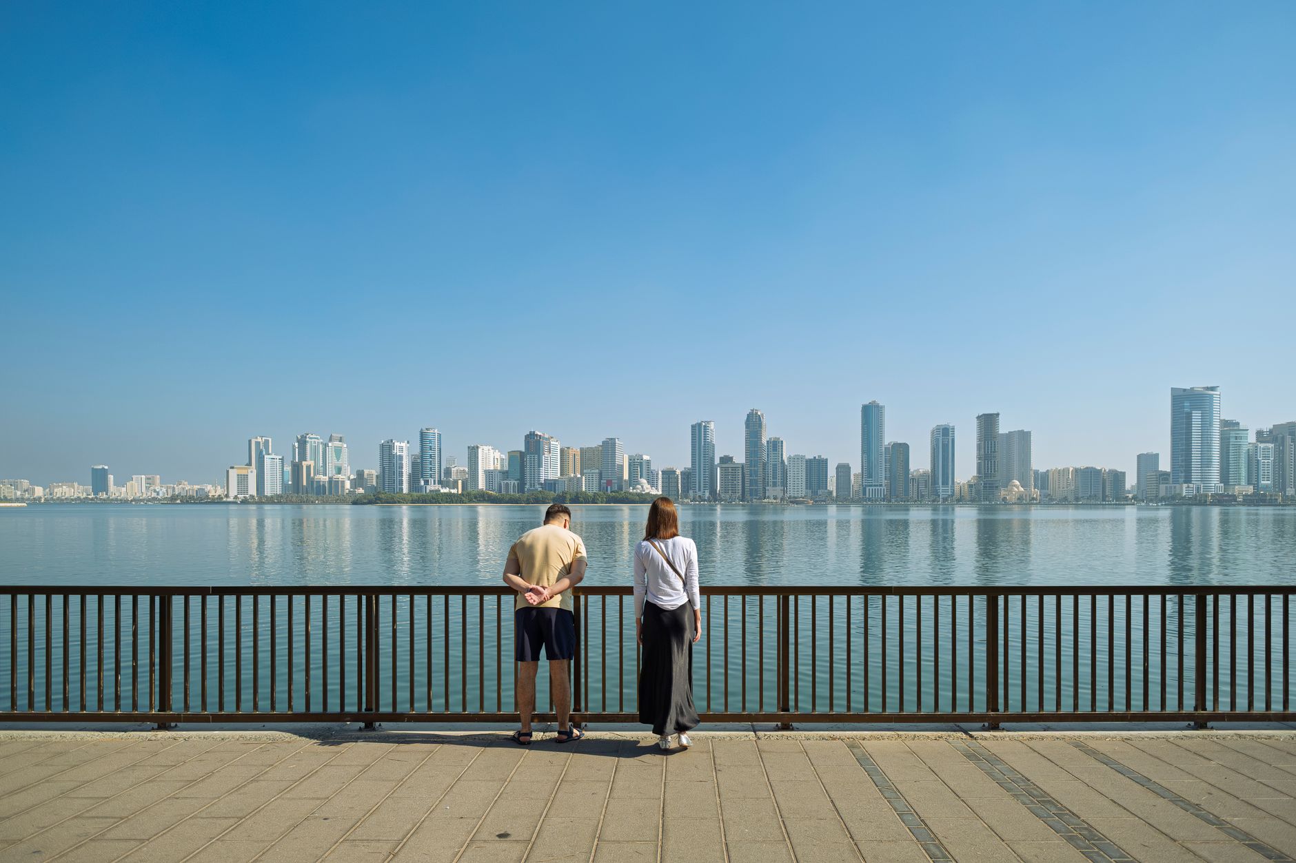
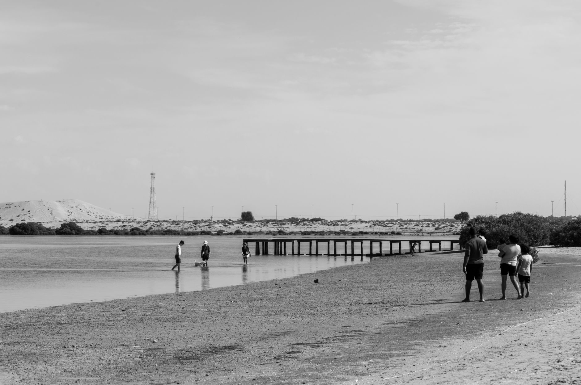
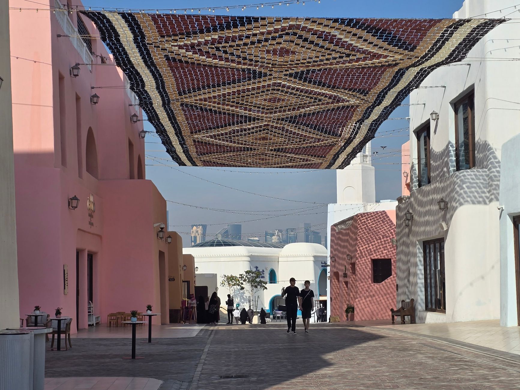
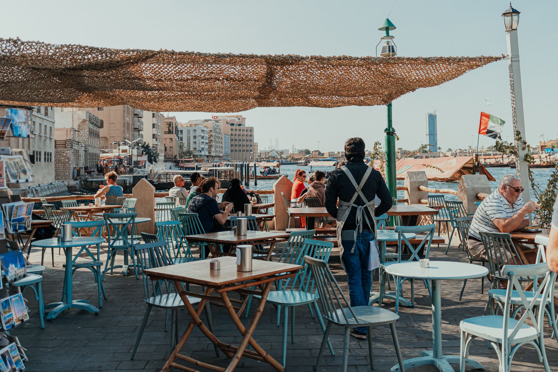
Umm Al Quwain sits on a narrow peninsula curling into the Arabian Gulf, quieter by design than its neighbours to the south. The old fort still charges four dirhams to enter. The dhow yard at the old harbour is where craftsmen shape timber into working boats the same way they have for generations, surrounded by coral-stone houses with carved plaster facades that nobody has thought to knock down yet.
This is the smallest emirate by population, and it wears that fact lightly. Siniyah Island — reachable by the eastern creeks — holds mangrove forests thick enough to shelter flamingoes and rare Socotra cormorants, and beneath its sands archaeologists have uncovered what may be the oldest pearling town in the Gulf.
How Umm Al Quwain came to be
The Al Ali tribe established their capital on the present-day peninsula in the mid-18th century, having left Siniyah Island when its freshwater sources gave out. Sheikh Rashid bin Majid built the fort in 1768, founding the Al Mualla dynasty that still governs today. The sheikhdom declared independence in 1775 and was among the first to sign the General Treaty of Peace with Britain in 1820.
The deeper history runs further back. Al-Dur, on the emirate's outskirts, was a significant Gulf trading port between roughly 200 BC and 200 AD — the largest pre-Islamic site on the Arabian Gulf — and Siniyah Island yielded the remains of a 6th or 7th-century Eastern Christian monastery in 2022, followed a year later by the discovery of what researchers believe is the oldest known pearling settlement in the Persian Gulf.
Who and what shaped it
People who shaped it
Landmark buildings
See Umm Al Quwain in motion
Plan your visit
On the map
When to go
December through March is the window when temperatures sit between 16°C and 24°C and the humidity is manageable — the months when you'll want to be outside at Al-Dur or walking the harbour at dusk. By August the daytime heat reaches 39°C; if you visit then, mornings and evenings are your hours.
Right now
Background & history adapted from Wikipedia (CC BY-SA) · specs from Wikidata (CC0) · weather from Open-Meteo · map data © OpenStreetMap contributors · photos from Wikimedia Commons / Unsplash with per-image credit. No third-party reviews or social posts reproduced.