
Uluru (Ayers Rock), Northern Territory, Australia

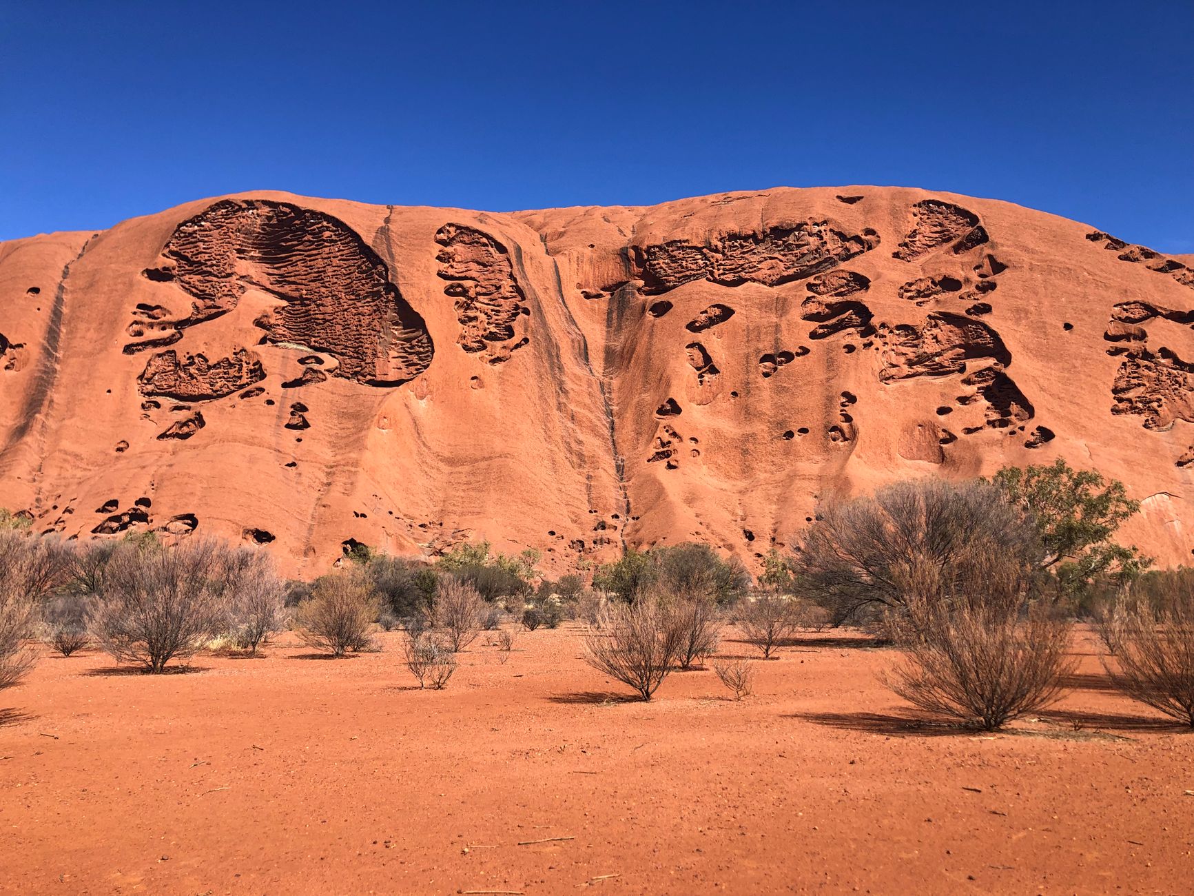


Uluru rises 348 metres straight out of flat red desert, an arkosic sandstone monolith 9.4 kilometres around its base, and the first thing that strikes most people is how singular it is — nothing else on the plain, just this. The Anangu, the Yankunytjatjara and Pitjantjatjara people who are its traditional owners, have lived alongside it for more than 10,000 years. Their relationship with this Country runs far deeper than tourism, and that context shapes everything worth knowing about a visit here.
The rock shifts colour through the day — dusty ochre at midday, a low burning orange as the sun drops — and the 10.6-kilometre base walk lets you read its surface up close: cave paintings, waterholes, signed sacred sites where you pocket your camera. Climbing has been permanently closed since October 2019, at the Anangu's request.
💛 What travellers fall for
People who come back tend to say the same thing: get to the park gates at 05:00 when they open, walk the base before the heat builds, and don't skip the Uluru-Kata Tjuta Cultural Centre. The Kuniya Walk to Mutitjulu Waterhole — one kilometre, sealed path — rewards even short visits with genuine quiet and shade.
How Uluru (Ayers Rock), Northern Territory, Australia came to be
Surveyor William Gosse became the first European to sight and document the monolith on 19 July 1873, naming it Ayers Rock after South Australia's then Chief Secretary, Sir Henry Ayers. The first tourists arrived in 1936, and permanent European settlement followed in the 1940s under Aboriginal welfare policy. Vehicular tracks came in 1948, bus tours in the early 1950s, and by 1959 Eddie Connellan had built an airstrip on the northern side.
On 26 October 1985, the Governor-General handed the title deeds back to the Anangu in a ceremony at Muṯitjulu community; they immediately leased the land to what is now Parks Australia for 99 years. The feature was dual-named in 1993 — first as Ayers Rock / Uluru, then reversed to Uluru / Ayers Rock in 2002. The climbing ban, long requested by the Anangu, became permanent in October 2019.
Who and what shaped it
People who shaped it
Landmark buildings
See Uluru (Ayers Rock), Northern Territory, Australia in motion
Plan your visit
On the map
When to go
Winters (June–August) bring cool days around 20°C and near-freezing nights — the most comfortable season for walking. Summers (December–February) push well above 40°C; the park sometimes closes trails mid-morning on extreme heat days, so early starts are not optional.
Right now
Background & history adapted from Wikipedia (CC BY-SA) · specs from Wikidata (CC0) · weather from Open-Meteo · map data © OpenStreetMap contributors · photos from Wikimedia Commons / Unsplash with per-image credit. No third-party reviews or social posts reproduced.