
Udo Island
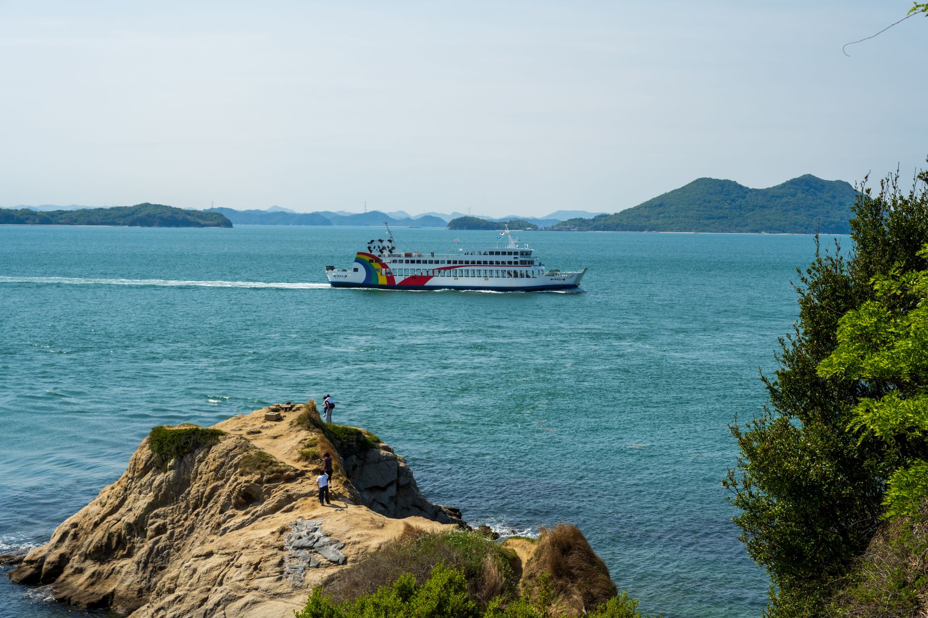
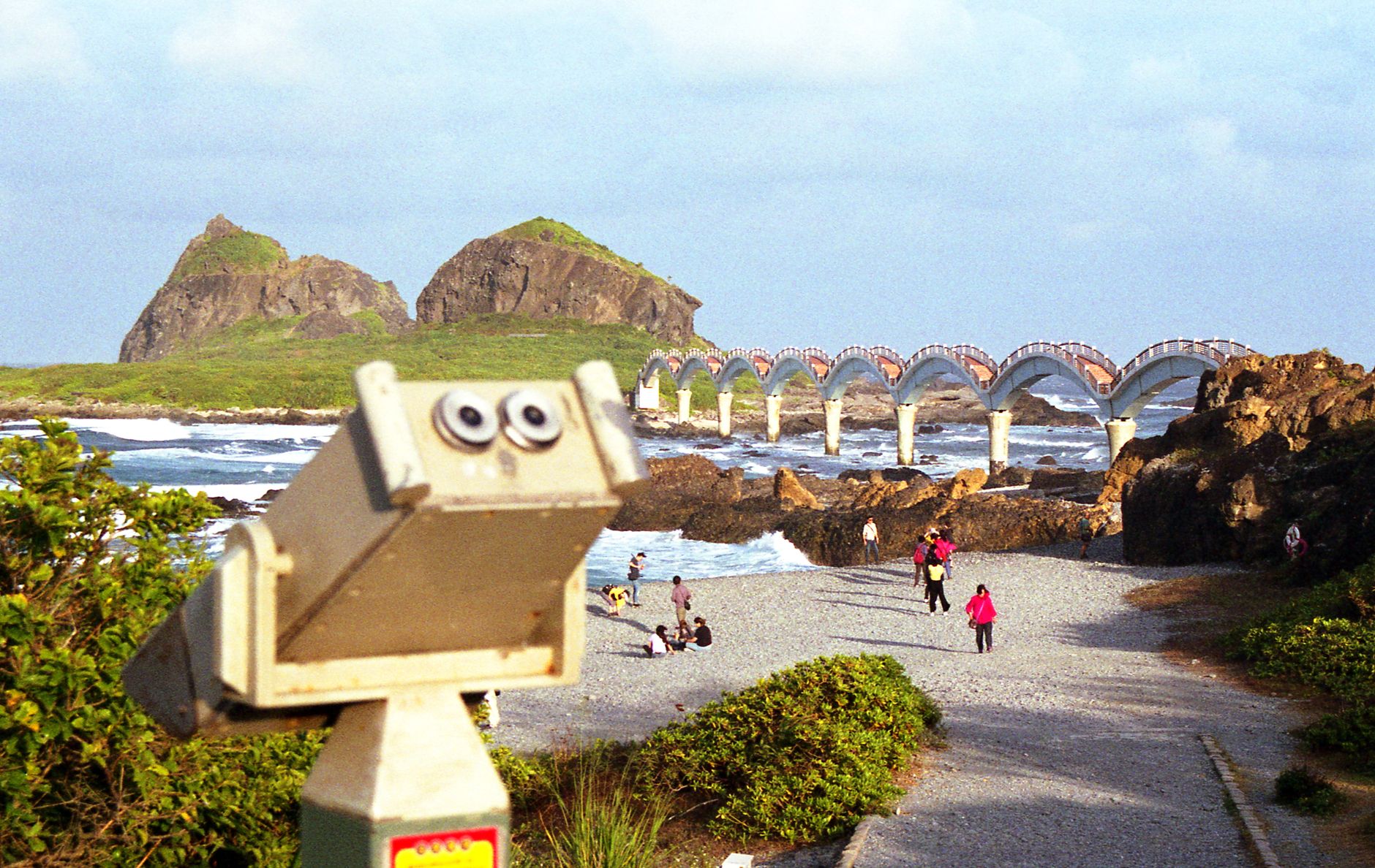
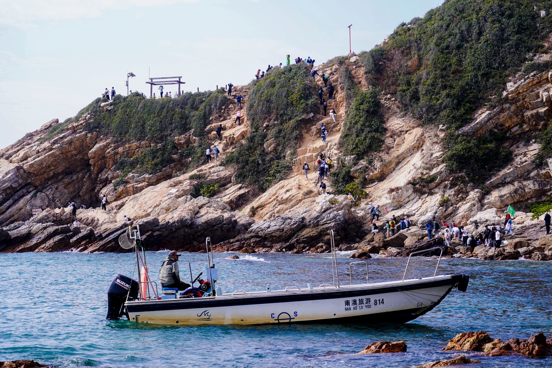
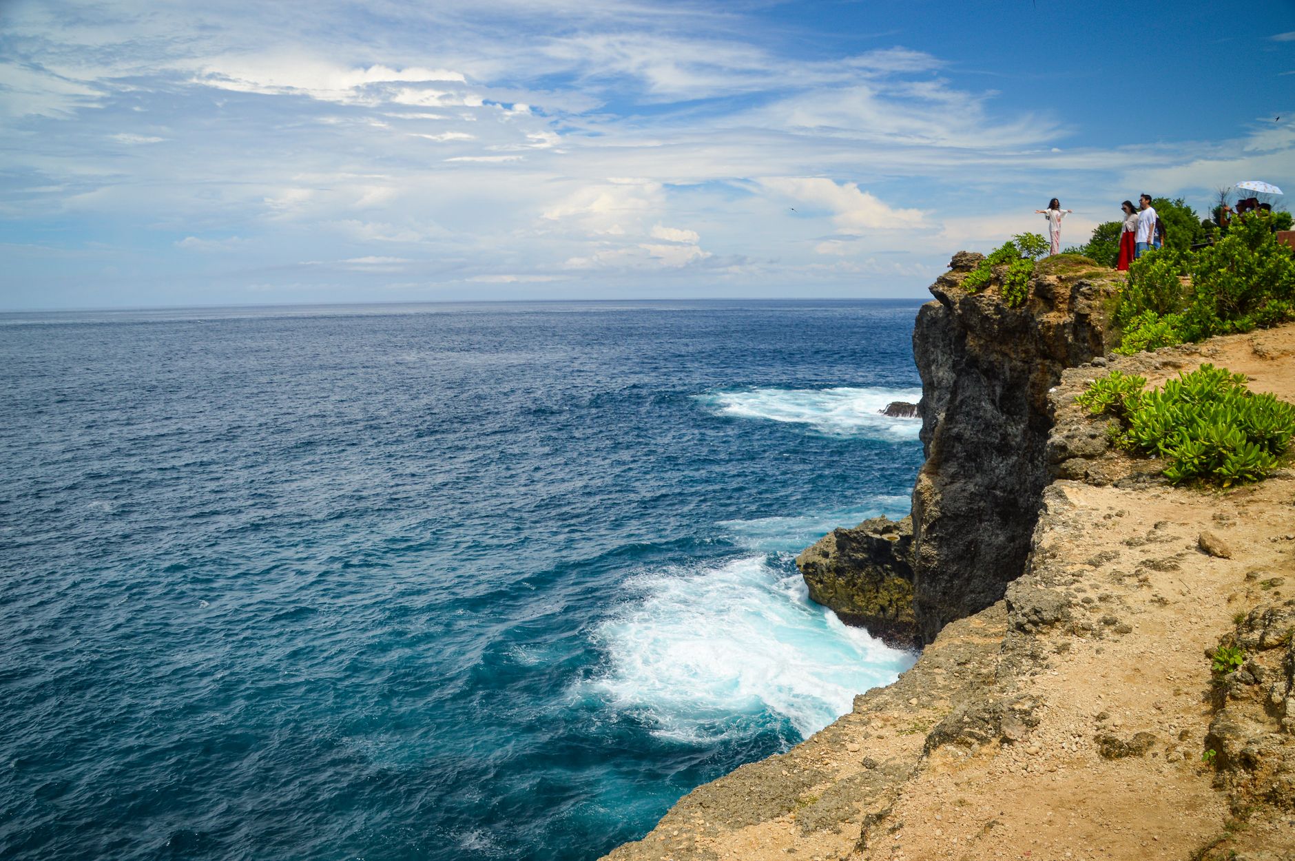
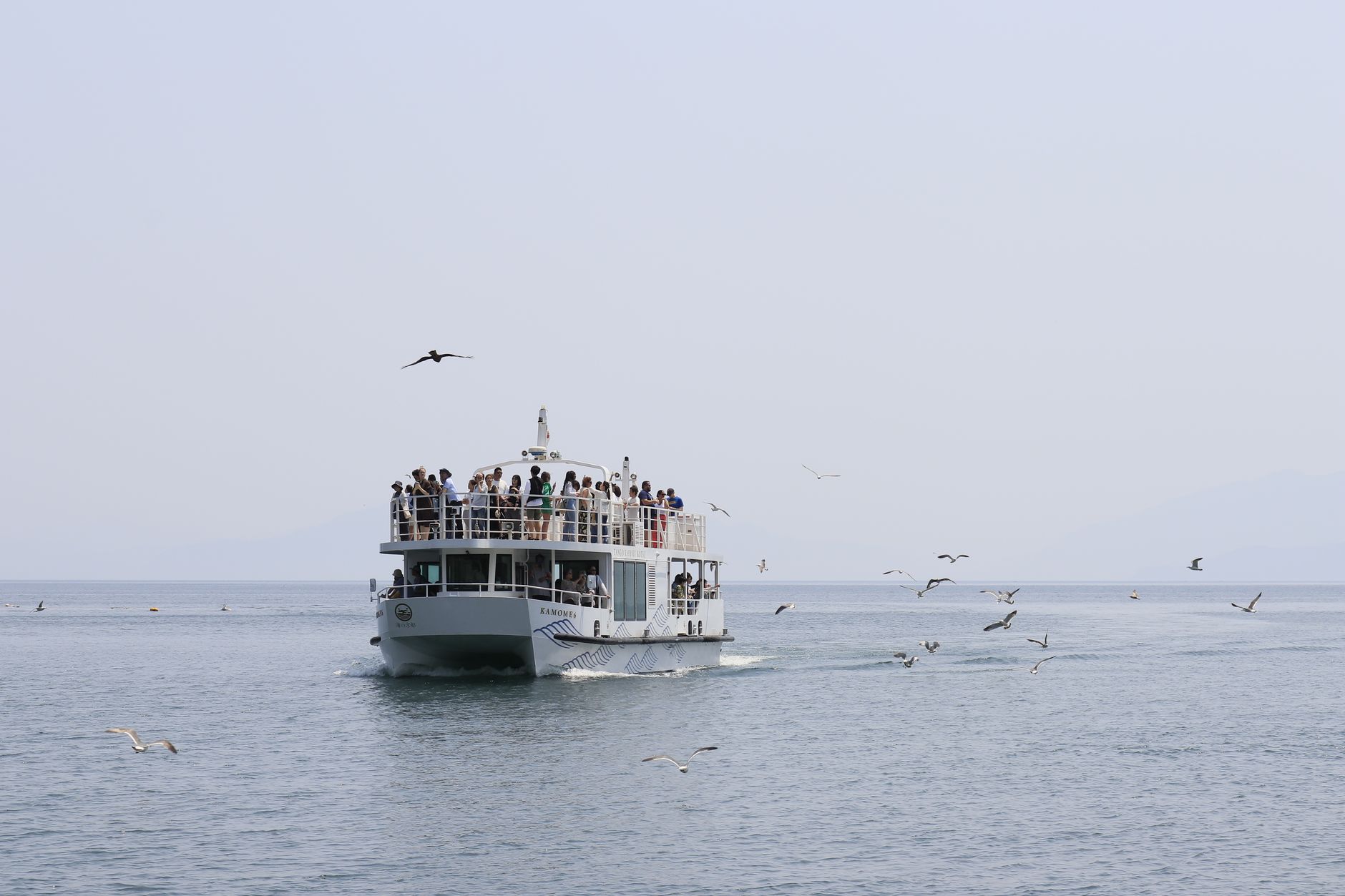
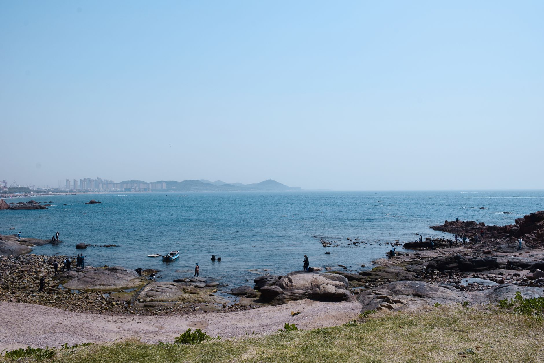
Udo sits off the eastern tip of Jeju like a punctuation mark — small, unhurried, shaped roughly like a reclining cow, which is exactly what its name means. You reach it on a fifteen-minute ferry, and the shift is immediate: no rental cars circling for parking, just bicycles, a hop-on-hop-off bus, and the particular quiet of an island that has decided not to grow any bigger.
The beaches here are unlike anything on the mainland. Sanho Beach looks white from a distance, but what you're walking on is fragments of coral — rhodolith, a protected natural monument — not sand at all. The haenyeo still work the surrounding waters year-round, freediving without tanks to bring up abalone, and the peanut fields that cover the interior produce the ice cream you will see in every visitor's hand by midday.
💛 What travellers fall for
People who come back tend to mention the same sequence: ferry from Seongsan early, bikes straight off the dock, Udobong Peak before the tour groups arrive. The forty-minute climb to Jiducheongsa rewards you with sky, sea, and grass in roughly equal measure. Then Geommeolle Beach — the black sand one — for lunch, peanut makgeolli from a roadside stall, and the last ferry back.
Deals in Udo Island
Book directly at the provider


How Udo Island came to be
Udo's recorded story begins in 1697, when the Joseon court under King Sukjong established a government horse ranch on the island — the flat interior and sea-bound perimeter made it a natural paddock. For over a century it remained essentially off-limits to ordinary settlement. That changed in 1840, when the Joseon government opened the island to commoners, and families began arriving in earnest. Among the earliest was Kim Seok Rin, a literary scholar who brought his family here in 1844.
The island's military past survives in the bongsudae, a Joseon-era beacon mound staffed around the clock by teams of five who relayed signals across the coast by smoke — part of a national communication chain that ran until 1895. The lighthouses came later, built during the Japanese occupation. Udo-myeon became its own formal township in 1986, and the surrounding waters were designated a maritime park in 2000.
Who and what shaped it
People who shaped it
Landmark buildings
See Udo Island in motion
Plan your visit
On the map
When to go
Spring (March to June) and autumn (September to November) offer the clearest skies and manageable humidity — the island's annual rainfall tops nearly two metres, most of it falling through the monsoon months of June to August when typhoon swells are also possible. Winters stay mild along the coast, rarely freezing, but the wind off the water has a bite to it.
Right now
Background & history adapted from Wikipedia (CC BY-SA) · specs from Wikidata (CC0) · weather from Open-Meteo · map data © OpenStreetMap contributors · photos from Wikimedia Commons / Unsplash with per-image credit. No third-party reviews or social posts reproduced.