
Tyrol

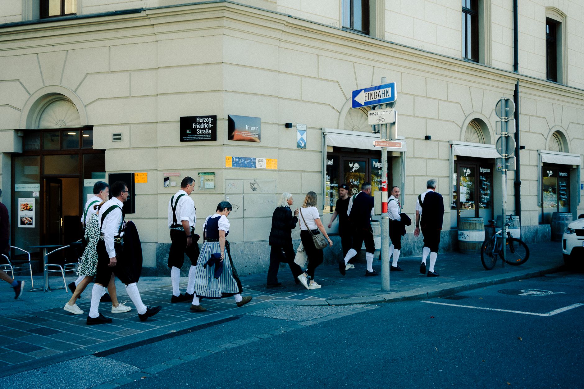
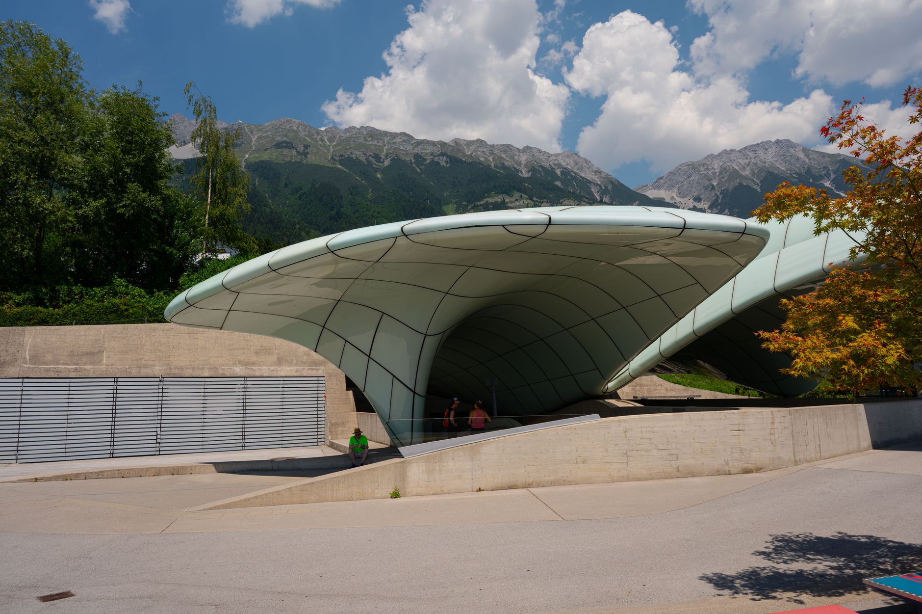
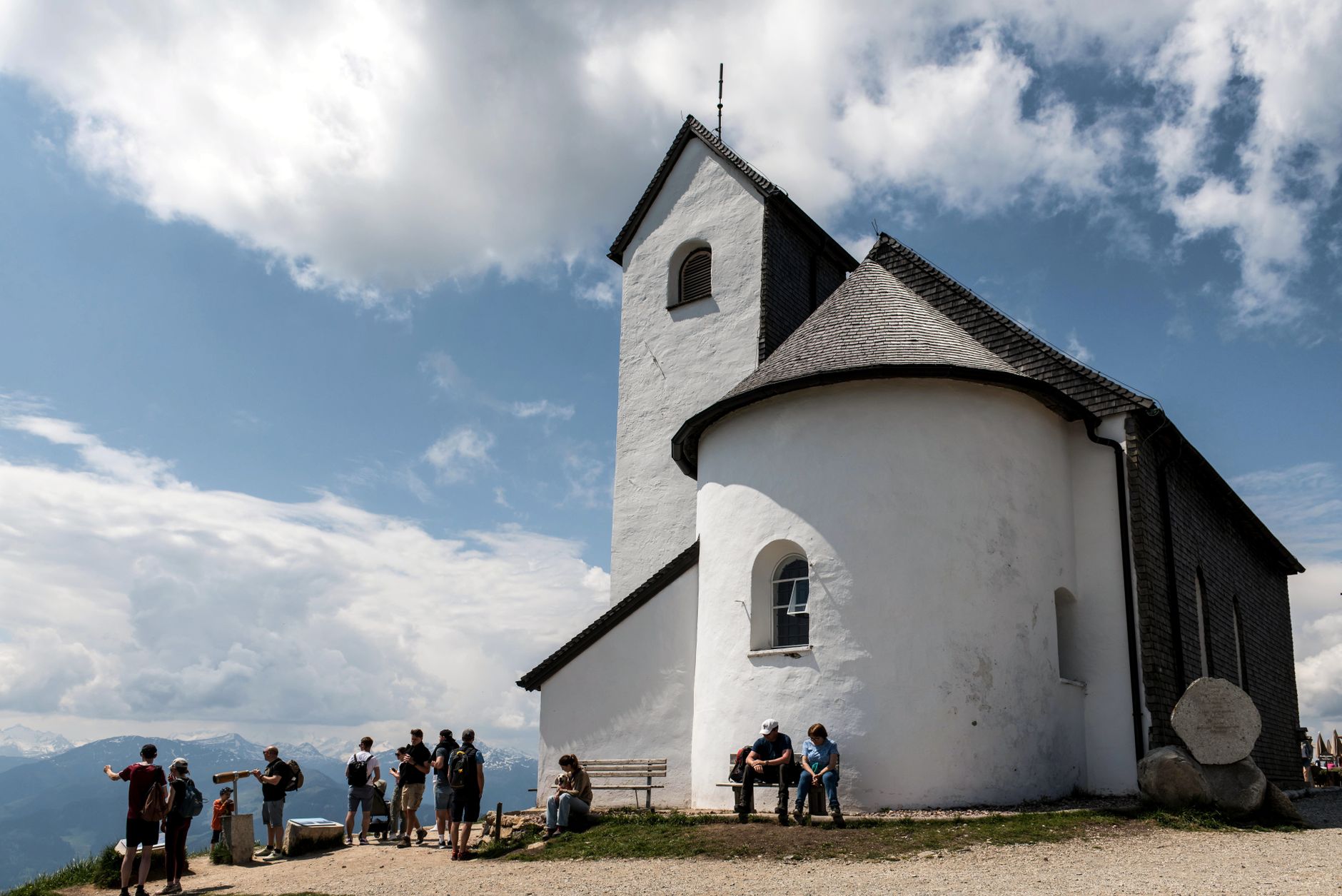
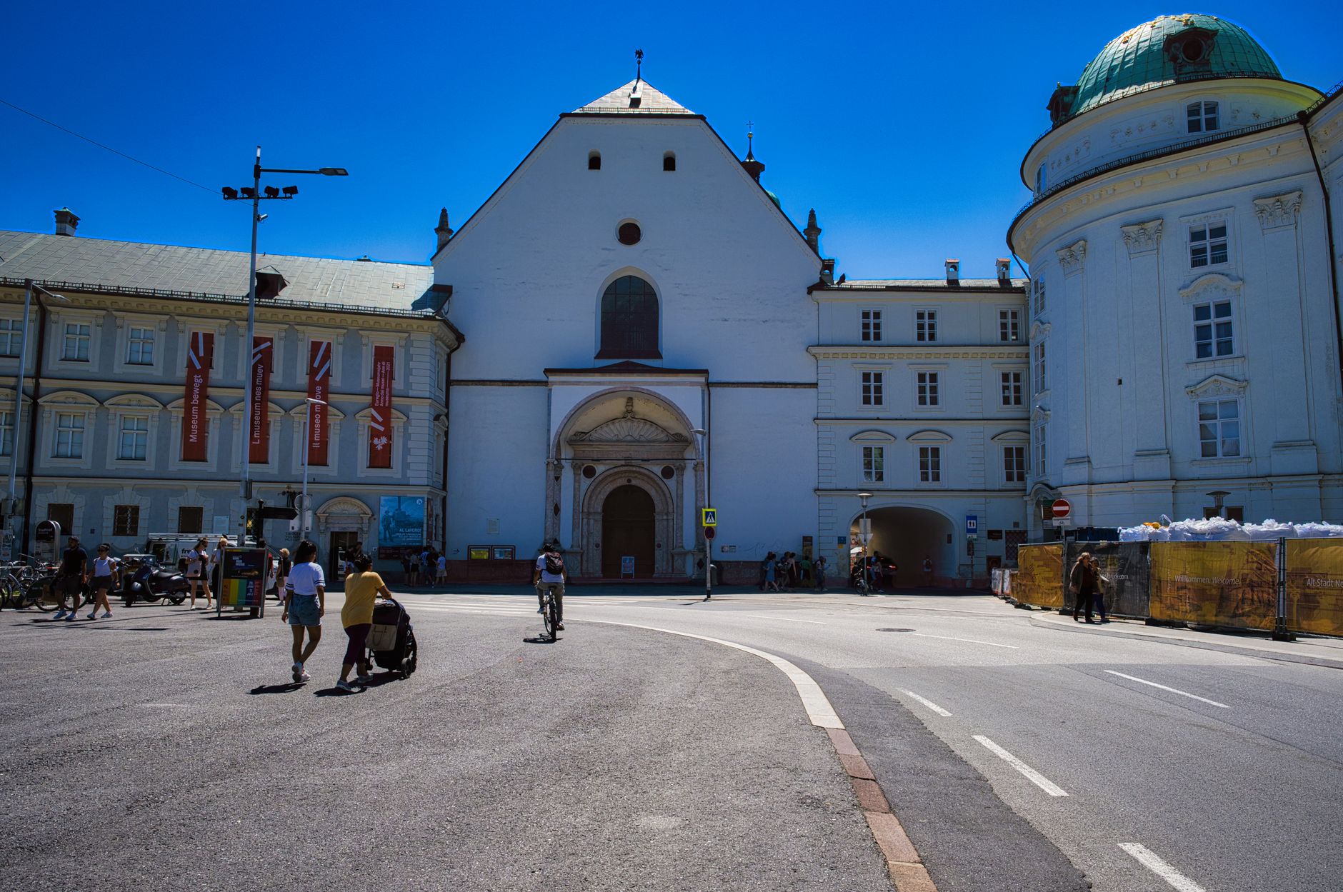
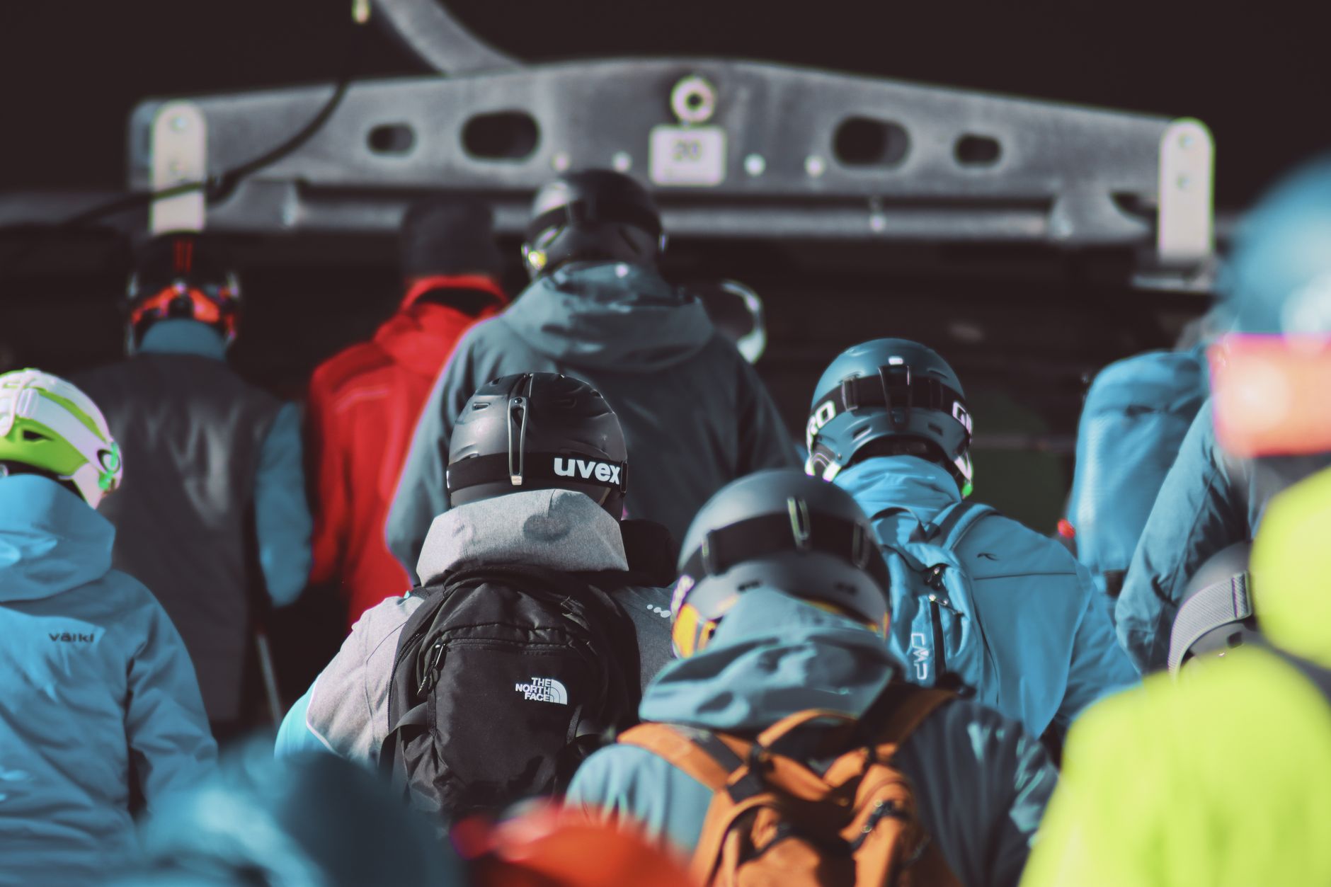
Tyrol is where the Alps stop being scenery and start being the point. The region stretches from the Inn Valley's medieval towns up to glaciers that sit above 3,000 metres, and the distance between a cobbled town square and a high-altitude viewing platform is often less than an hour. The capital, Innsbruck, holds the region's institutional weight, but Tyrol's real texture lives further out — in Rattenberg, Austria's smallest town, where glassblowers work in workshops open to the street, and in the Brenner Pass, a north–south corridor the Romans used and trucks still do.
Plan for more than a weekend. The VVT public transport network ties the region together well, and bicycles travel free on all services, which changes how you move through it.
💛 What travellers fall for
People who come back tend to anchor in Innsbruck and radiate outward — Tram #6 to Igls through the pine forest one afternoon, Kufstein on another day to catch the Heroes' Organ at noon. Hall in Tirol keeps coming up: a medieval centre larger than Innsbruck's, with a fraction of the foot traffic.
How Tyrol came to be
The name Tyrol appears in written records from the 12th century, when the Counts of Tyrol consolidated control over Alpine trade routes including the Brenner Pass. Before that, the valley floors had been settled since around 12,000 BC, and the Romans arrived in 15 BC, folding the territory into the provinces of Raetia and Noricum. Tyrol passed through the Holy Roman Empire, the Austrian Empire, and Austria-Hungary over the following centuries.
The 1919 Treaty of Saint-Germain-en-Laye cut the region in two: North and East Tyrol remained Austrian, while South Tyrol was ceded to Italy — a division that shaped regional identity for the rest of the 20th century. In 1998, the Tyrol–South Tyrol–Trentino Euroregion was founded, a formal acknowledgment of the cultural continuity the border had interrupted.
Who and what shaped it
People who shaped it
Landmark buildings
See Tyrol in motion
Plan your visit
On the map
When to go
Summers are warm but genuinely wet — July and August bring the heaviest rainfall, sometimes 190 mm or more in a month. Winter means reliable snow, particularly in the northern valleys, with December through February best for skiing; September and October tend to be drier, cooler, and noticeably less crowded on the trails.
Right now
Background & history adapted from Wikipedia (CC BY-SA) · specs from Wikidata (CC0) · weather from Open-Meteo · map data © OpenStreetMap contributors · photos from Wikimedia Commons / Unsplash with per-image credit. No third-party reviews or social posts reproduced.