
Tuli Block
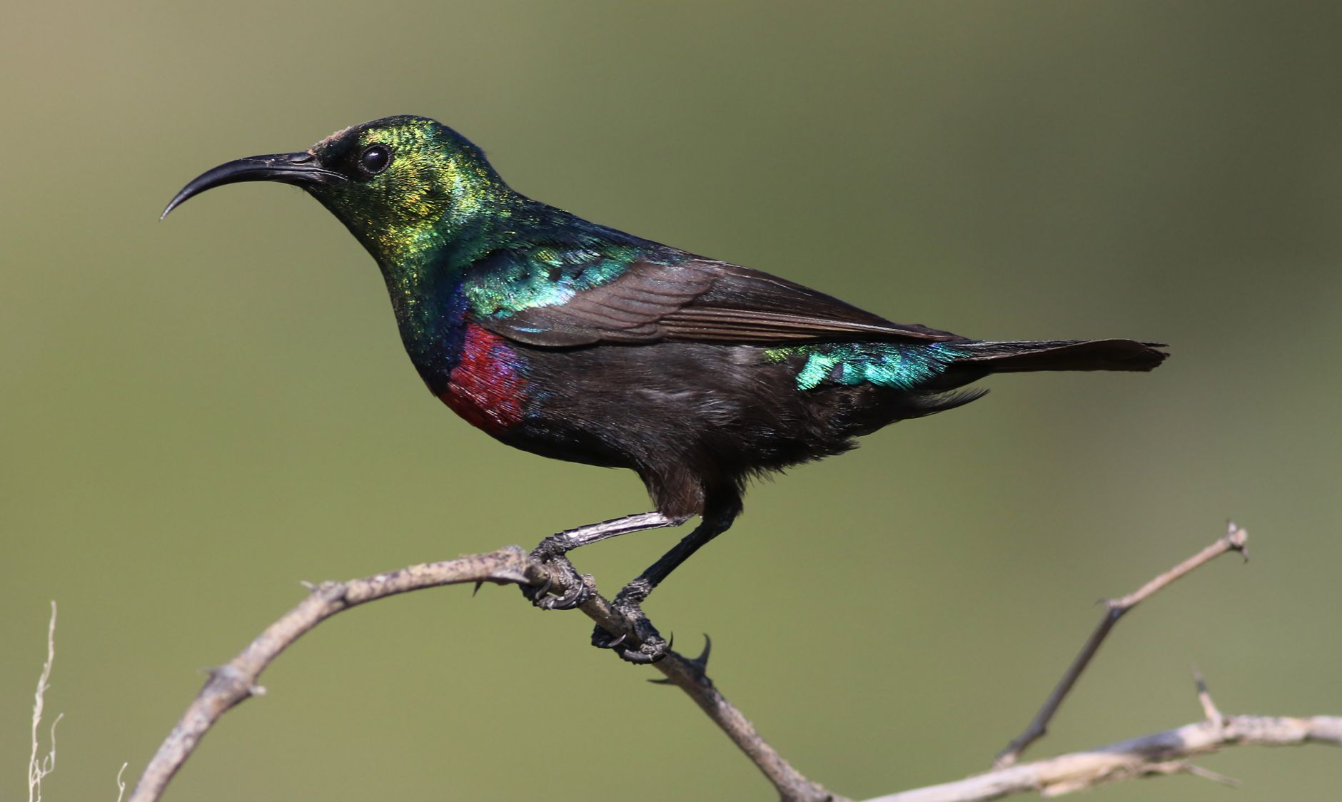
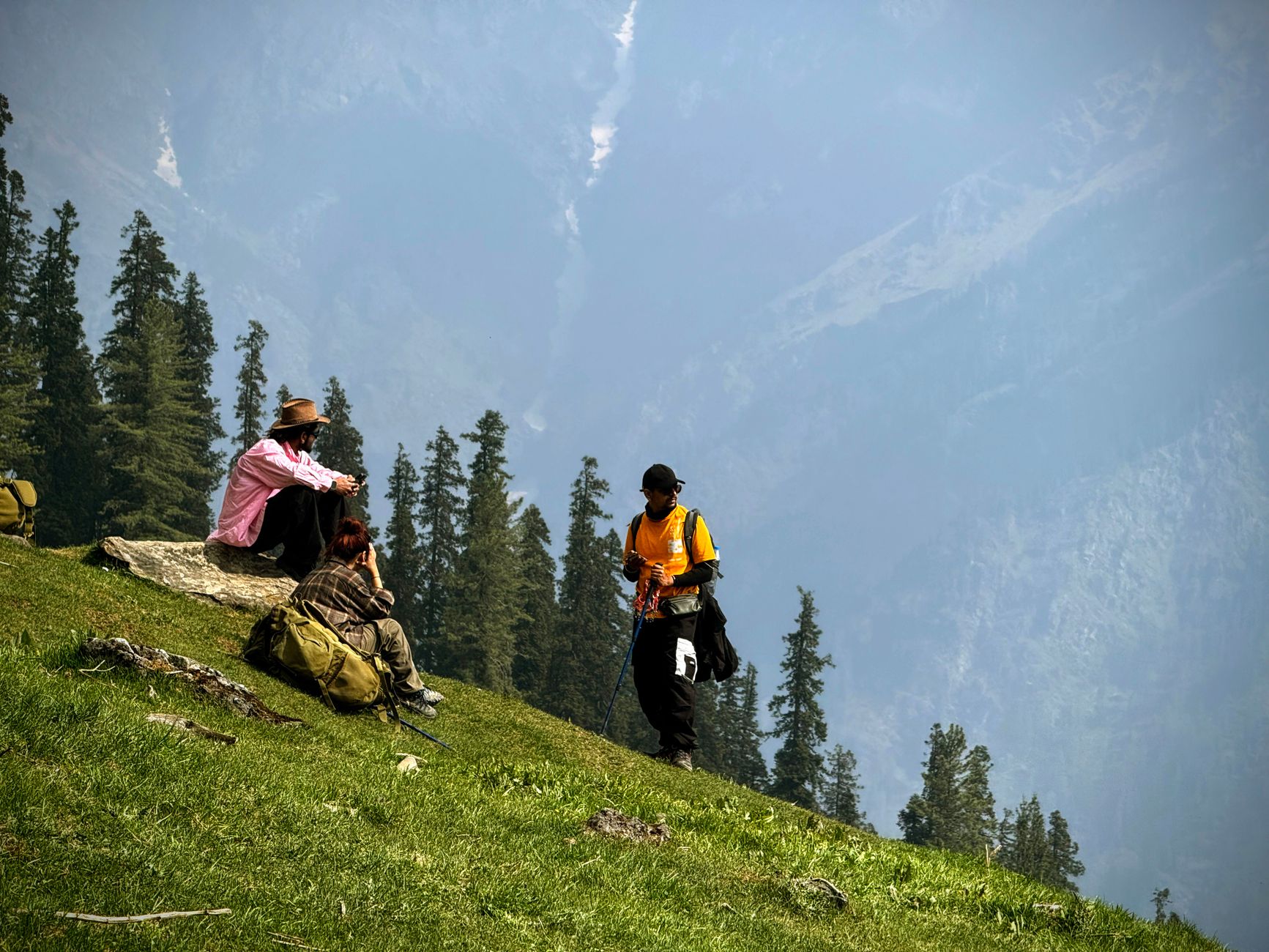
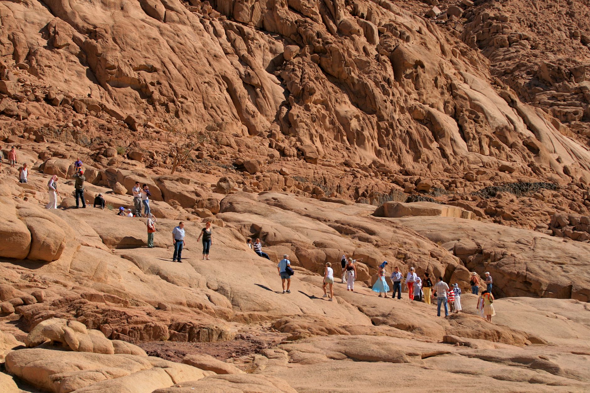
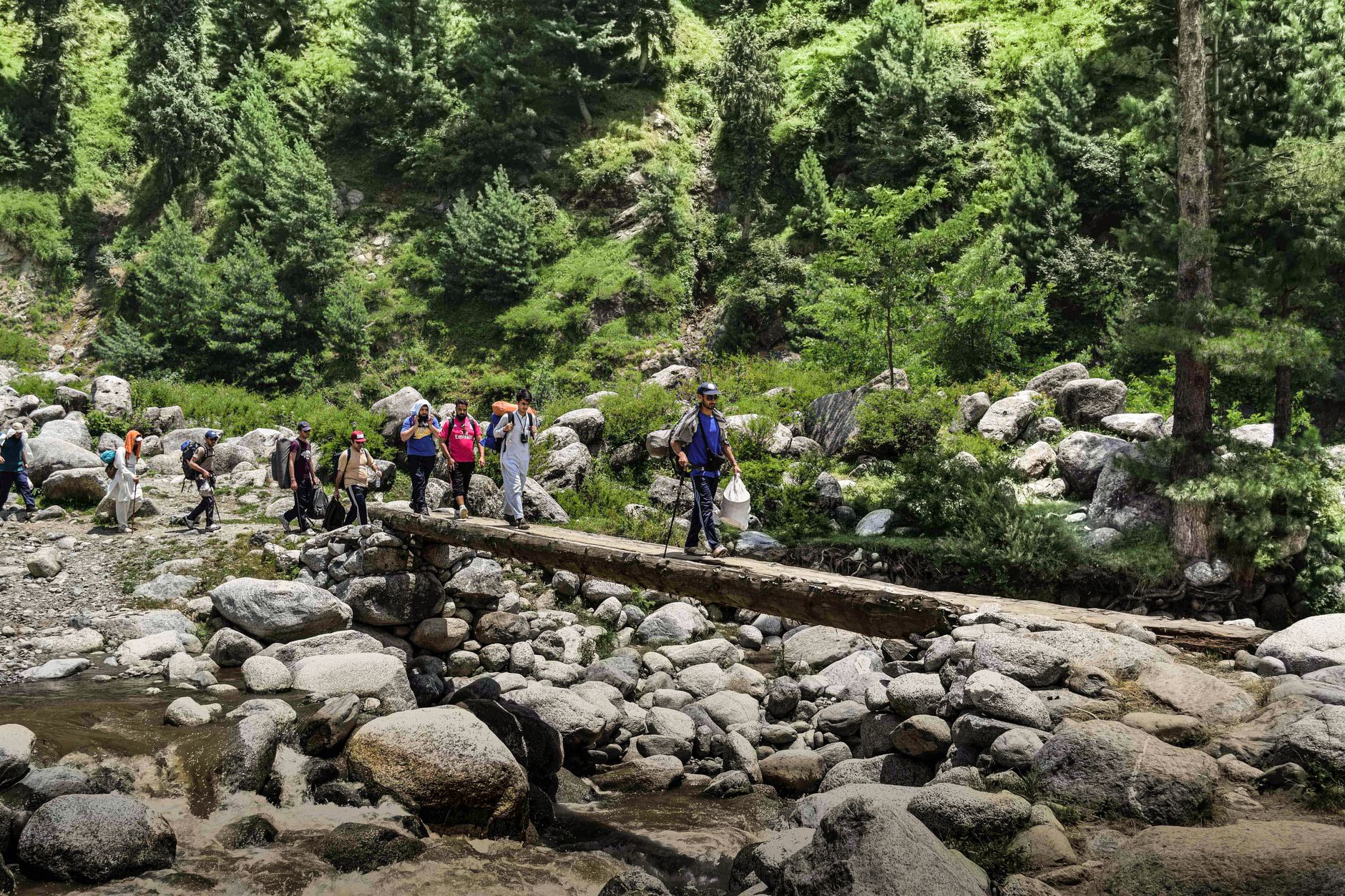
The Tuli Block is a narrow strip of eastern Botswana wedged between Zimbabwe and South Africa, where the Limpopo and Shashe rivers mark borders that elephants, leopards and painted dogs largely ignore. The landscape is old and unhurried — sandstone outcrops, ancient baobabs, dry riverbeds that turn briefly silver in the rains. This is one of the few places in southern Africa where you can walk, ride a horse or cycle through unfenced wilderness, and where night drives are permitted, so the hours after dark belong to you as much as the day.
The Northern Tuli Game Reserve, a coalition of 36 private properties covering roughly 720 square kilometres, anchors the eastern end of the block. Mashatu Game Reserve is the largest and best-known parcel within it.
How Tuli Block came to be
In 1885 Britain declared a protectorate over Bechuanaland. A decade later Chief Khama III of the Bangwato — who had travelled to London to petition Queen Victoria directly — agreed to cede this eastern strip to Cecil Rhodes's British South Africa Company, the price of keeping the rest of his territory out of company hands. Rhodes wanted the land for his Cape-to-Cairo railway. The Pioneer Column had already pushed through in 1890, establishing Fort Tuli just across what is now the Zimbabwean border, but the terrain — rivers, gorges, rocky outcrops — made the railway dream unworkable. No gold materialised either. The BSAC quietly sold the land off to private farmers.
After the First World War those farmers discovered that tourists paid better than cattle. By the late 1950s and 1960s, farming operations wound down in favour of conservation, and the Limpopo Game Protection Association was formally established in 1964.
Who and what shaped it
People who shaped it
Landmark buildings
See Tuli Block in motion
Plan your visit
On the map
When to go
May to September brings mild, dry days around 26°C and cool nights that can drop to 6°C — pack a layer for early-morning game drives. October through April is hot, with daytime highs reaching 33°C and afternoon thunderstorms that flush the riverbeds and turn the bush briefly green.
Right now
Background & history adapted from Wikipedia (CC BY-SA) · specs from Wikidata (CC0) · weather from Open-Meteo · map data © OpenStreetMap contributors · photos from Wikimedia Commons / Unsplash with per-image credit. No third-party reviews or social posts reproduced.