
Tsavo National Park
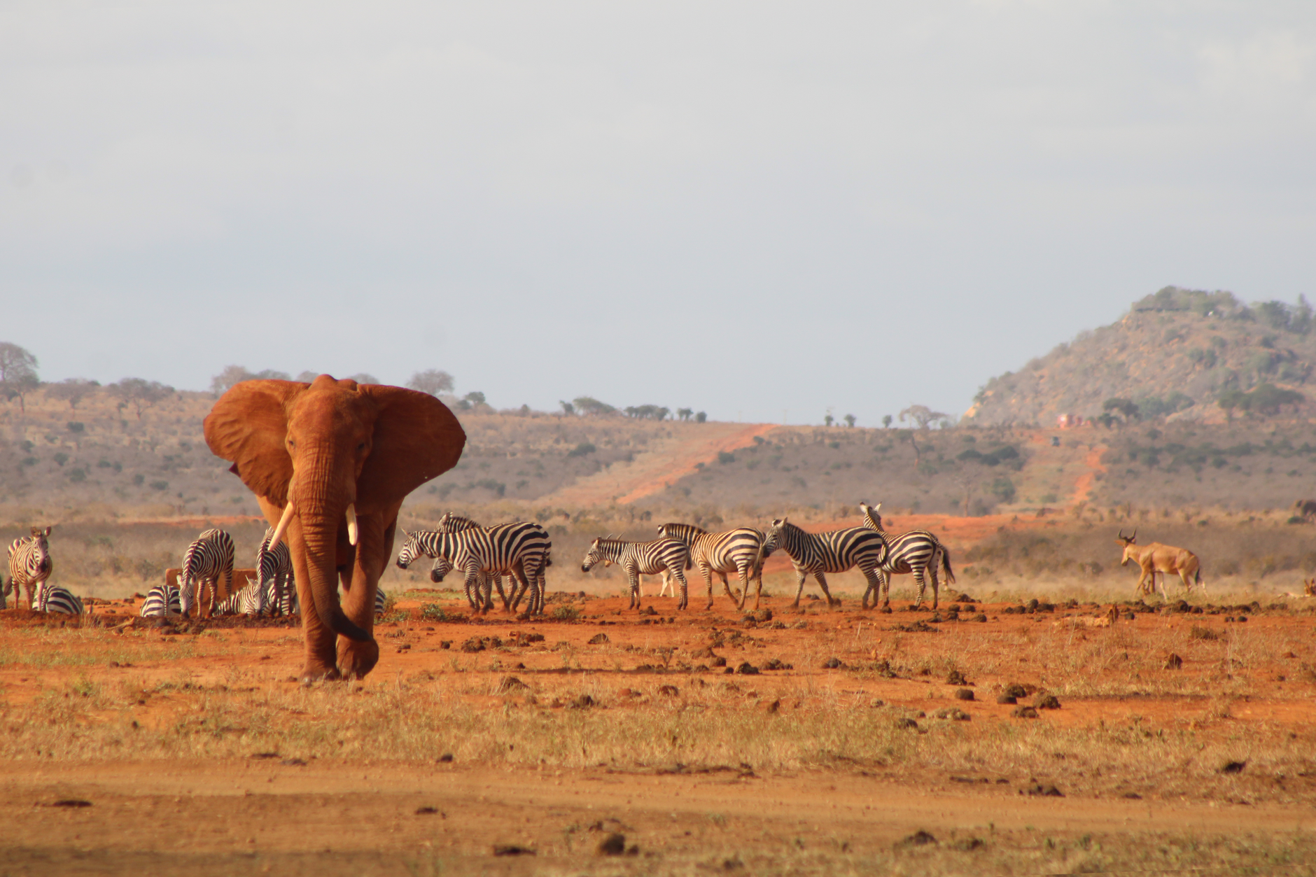
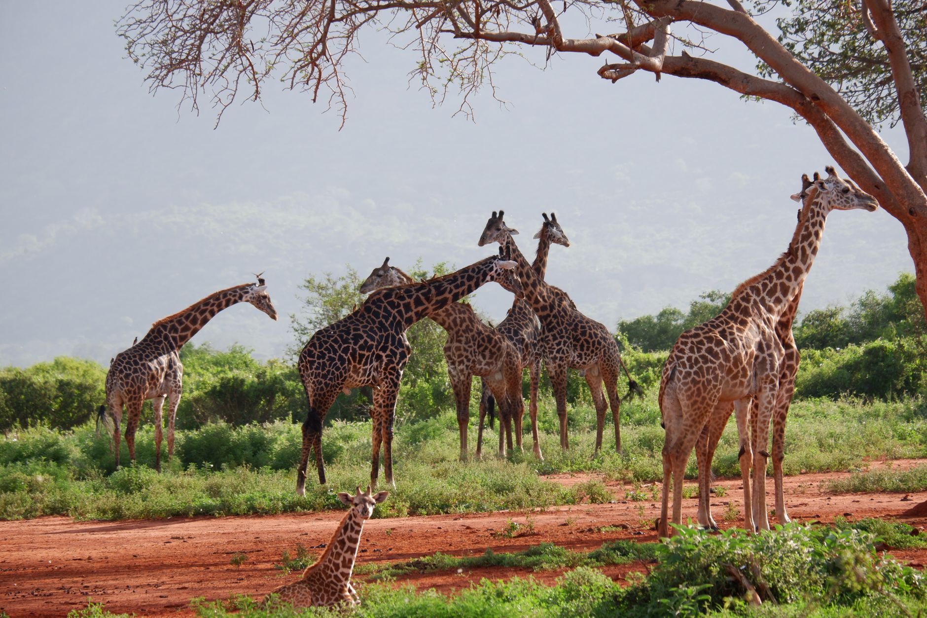
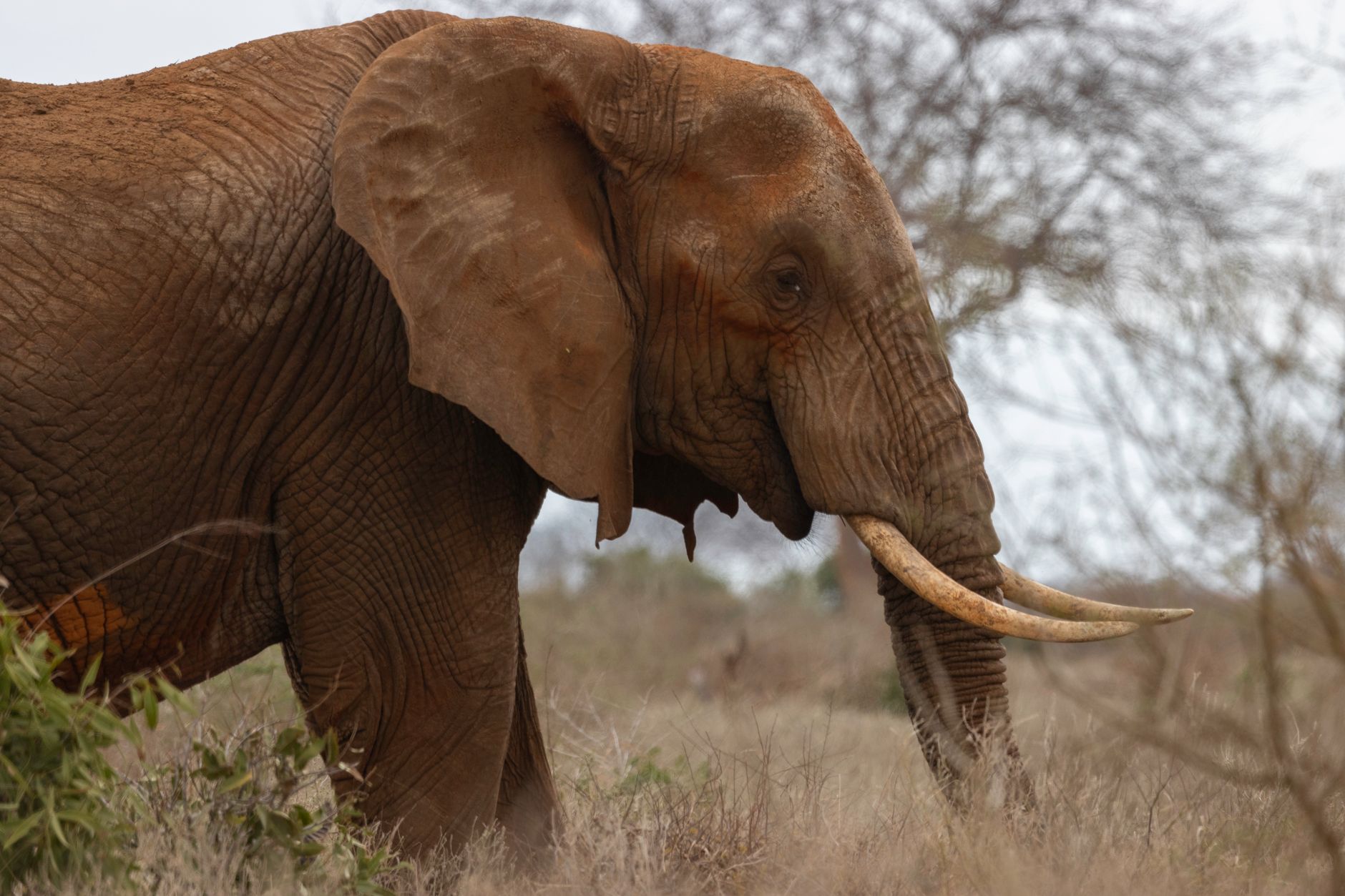

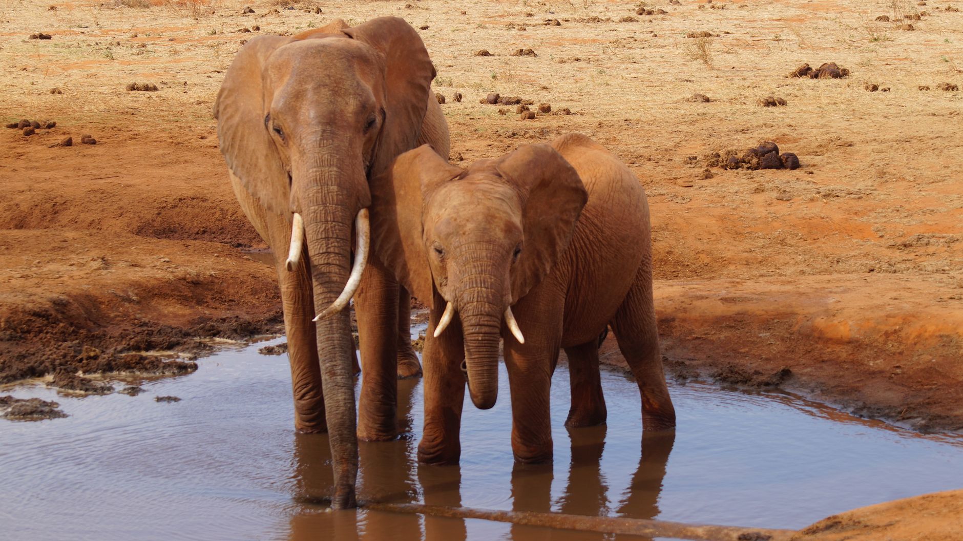
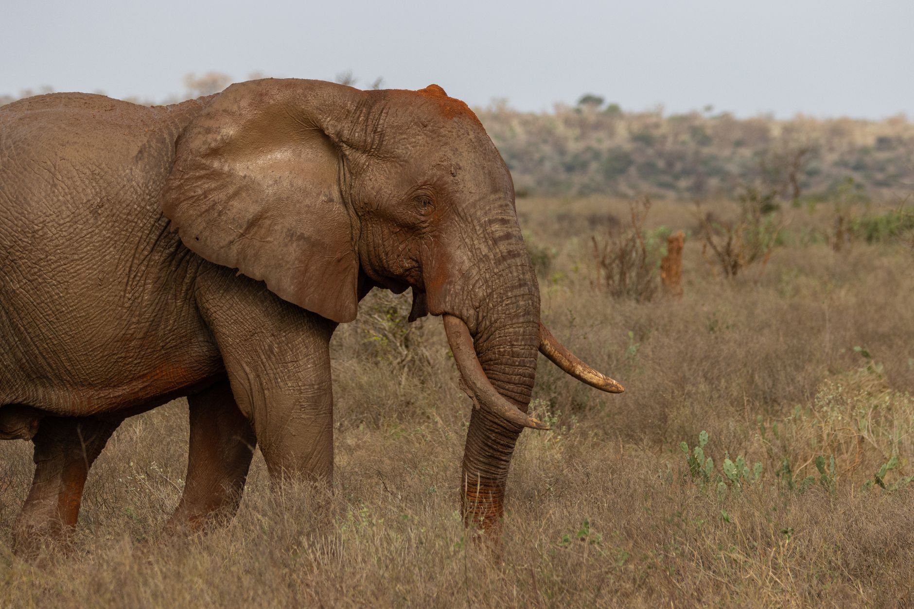
Tsavo is Kenya's largest national park — 20,812 square kilometres of thorn scrub, lava flows and dry riverbeds that together make up roughly the size of Wales. The elephants here are red, dusted with the park's iron-rich laterite soil, and they move in herds large enough to stop you mid-sentence.
The park splits into two administrative halves: Tsavo East, flatter and more open, where the Galana River cuts through and the Yatta Plateau — the world's longest lava flow — runs along the western boundary; and Tsavo West, rougher and more volcanic, with the glassy black Shetani lava field and the clear springs of Mzima as its anchors. Together they form an ecosystem that holds roughly 45,000 elephants.
How Tsavo National Park came to be
Tsavo was gazetted in 1948, its boundaries drawn partly because the land was too arid for agriculture and too thick with tsetse fly for most human settlement — a scrubland the Kamba called the Taru desert. The park was divided into East and West in 1949 for administrative purposes, and the work of turning it into a functioning reserve fell to first warden David Sheldrick, alongside game wardens Bill Woodley and Peter Jenkins. Sheldrick built roads and waterholes, started anti-poaching patrols, and in 1951 oversaw construction of the Galana Causeway at Lugard Falls.
The land carries older stories too. In 1898, during construction of the Kenya-Uganda railway, two maneless male lions killed an estimated 135 workers before Lt. Colonel John Henry Patterson finally shot them — an episode that brought Tsavo its first international notoriety, long before it was a park.
Who and what shaped it
People who shaped it
Landmark buildings
See Tsavo National Park in motion
Plan your visit
On the map
When to go
Tsavo runs warm year-round, with daytime temperatures typically reaching 31°C (88°F) and nights dropping to around 20°C (68°F). The short rains arrive in October and November, the long rains from March through May; the dry months of June to September and January to February offer the clearest wildlife viewing, when animals cluster around permanent water sources.
Right now
Background & history adapted from Wikipedia (CC BY-SA) · specs from Wikidata (CC0) · weather from Open-Meteo · map data © OpenStreetMap contributors · photos from Wikimedia Commons / Unsplash with per-image credit. No third-party reviews or social posts reproduced.