
Trinidad
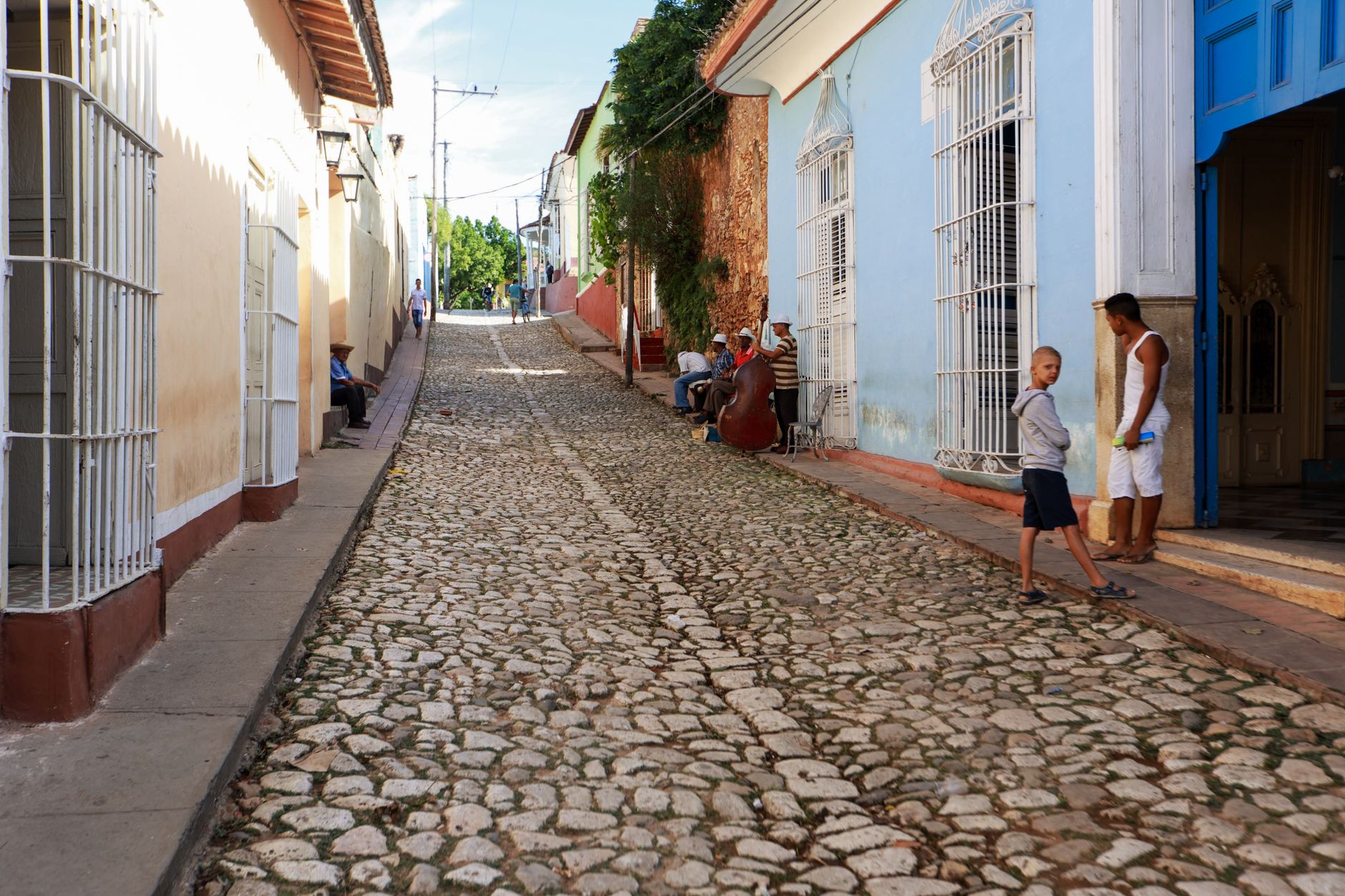
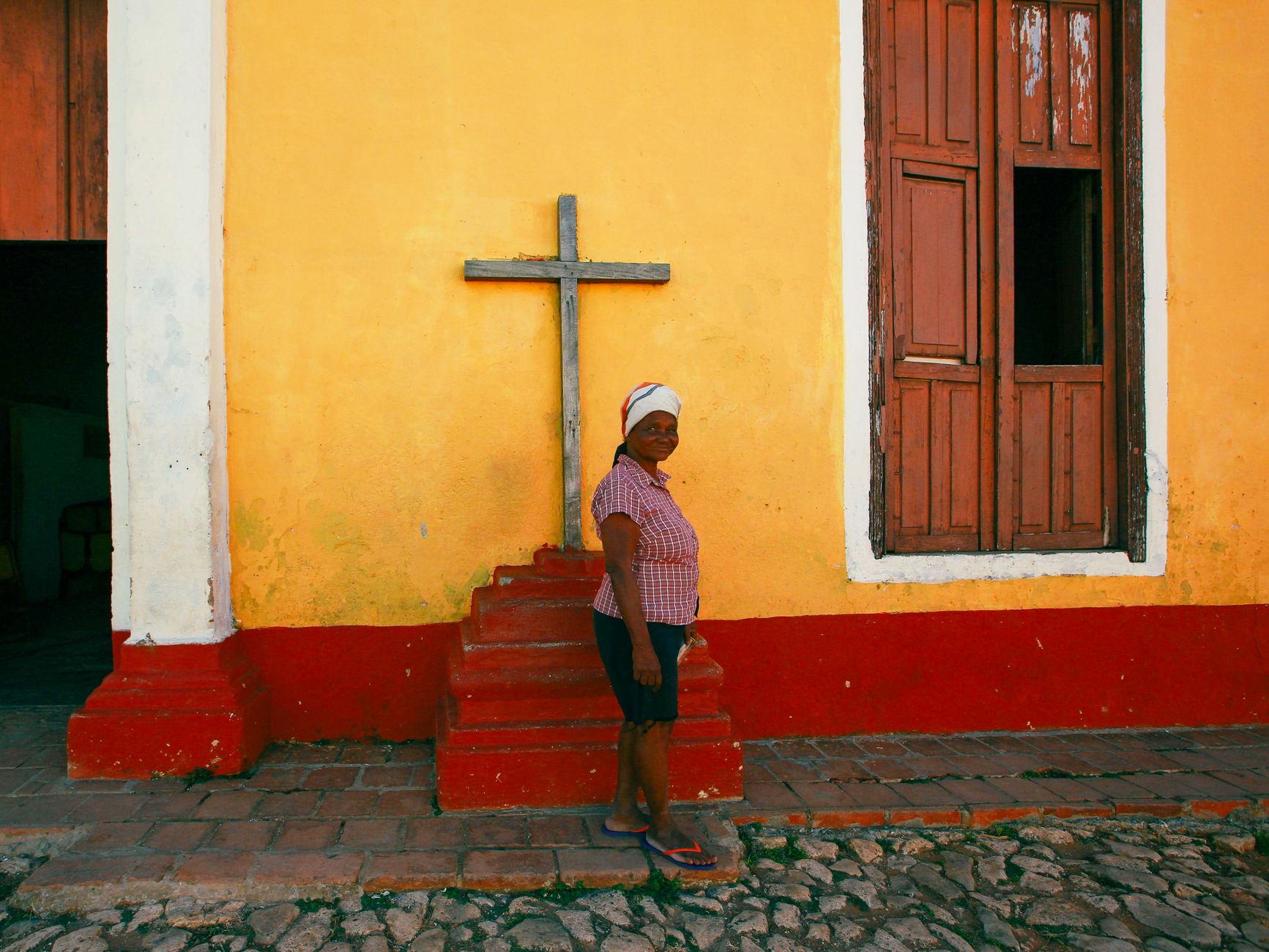
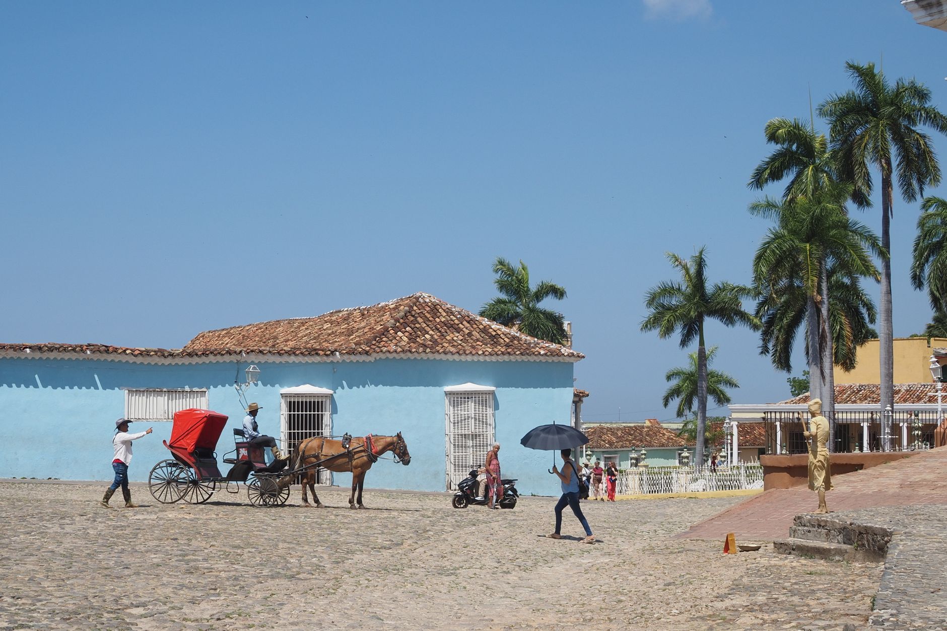
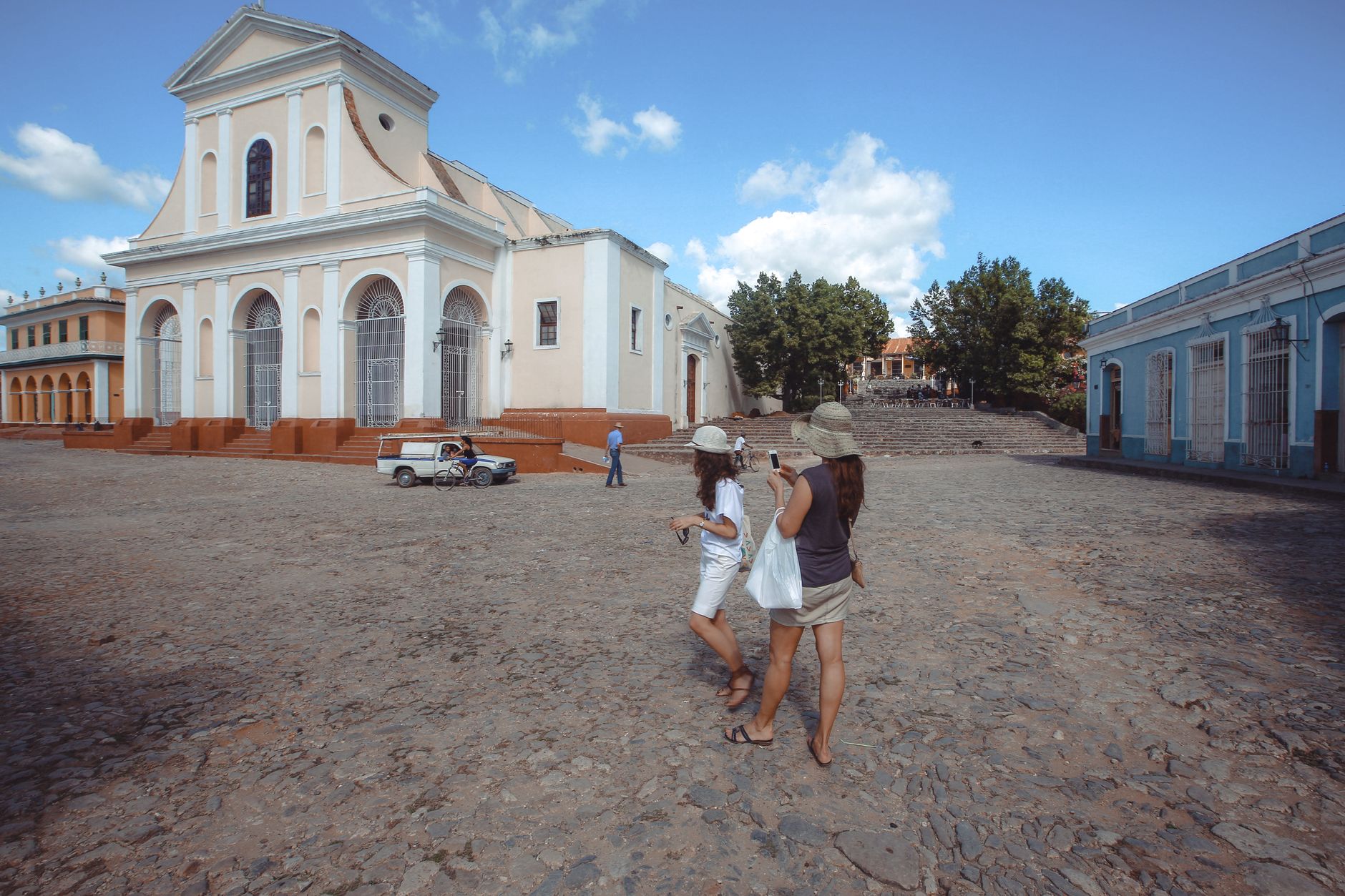
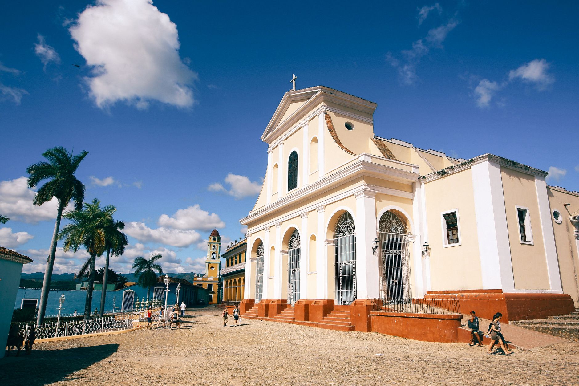
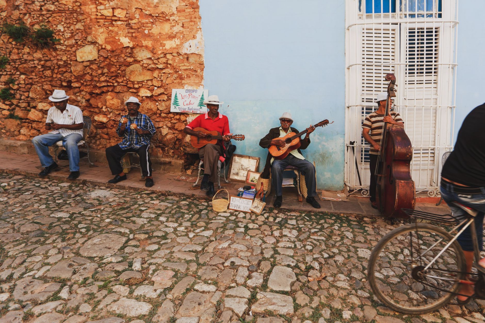
Trinidad stopped in its tracks sometime around the 1850s, and that accident of economic collapse is the reason you can walk its cobbled streets today and find a colonial city almost intact. The sugar boom that made it one of Cuba's wealthiest towns had collapsed, the railroad bypassed it, and for roughly a century the place simply didn't change. What's left is a 37-hectare historic centre — plazas, ochre mansions, iron-grilled windows — that earned UNESCO World Heritage status alongside the nearby Valle de los Ingenios in 1988.
The town is small enough to cover on foot, anchored by Plaza Mayor and the surrounding palaces of former sugar barons. Beyond the cobblestones, Playa Ancón is a white-sand beach a short ride away, and the valley to the north still holds the sugar-era tower of the Iznaga family, 45 metres tall, built in 1816.
How Trinidad came to be
Diego Velázquez de Cuéllar founded the town on 23 December 1514, naming it Villa de la Santísima Trinidad. It remained a modest livestock and tobacco settlement — and, quietly, a smuggling hub — for two centuries. The transformation came in the late 18th century, when the region turned to slave-cultivated sugar. By 1796 Trinidad was Cuba's third-largest city, and at the industry's peak between 1790 and 1846, Trinitarian planters controlled nearly half the country's sugar mills. The mansions around Plaza Mayor — the Palacio Cantero (1830), the Palacio Brunet, the Casa de Aldeman Ortiz (1808) — are the physical record of that wealth.
The collapse was just as swift. By the 1860s the global sugar market had cratered, and Trinidad quietly stepped off the main stage. The railroad never came. The town's layout froze, which is precisely why the streets look the way they do now.
Who and what shaped it
People who shaped it
Landmark buildings
See Trinidad in motion
Plan your visit
On the map
When to go
November through April is the dry season, with temperatures in the mid-to-upper 20s Celsius and very little rain — December to February being the driest and slightly cooler stretch. The wet season runs May through October, bringing higher humidity and regular afternoon downpours.
Right now
Background & history adapted from Wikipedia (CC BY-SA) · specs from Wikidata (CC0) · weather from Open-Meteo · map data © OpenStreetMap contributors · photos from Wikimedia Commons / Unsplash with per-image credit. No third-party reviews or social posts reproduced.