
Toyonaka
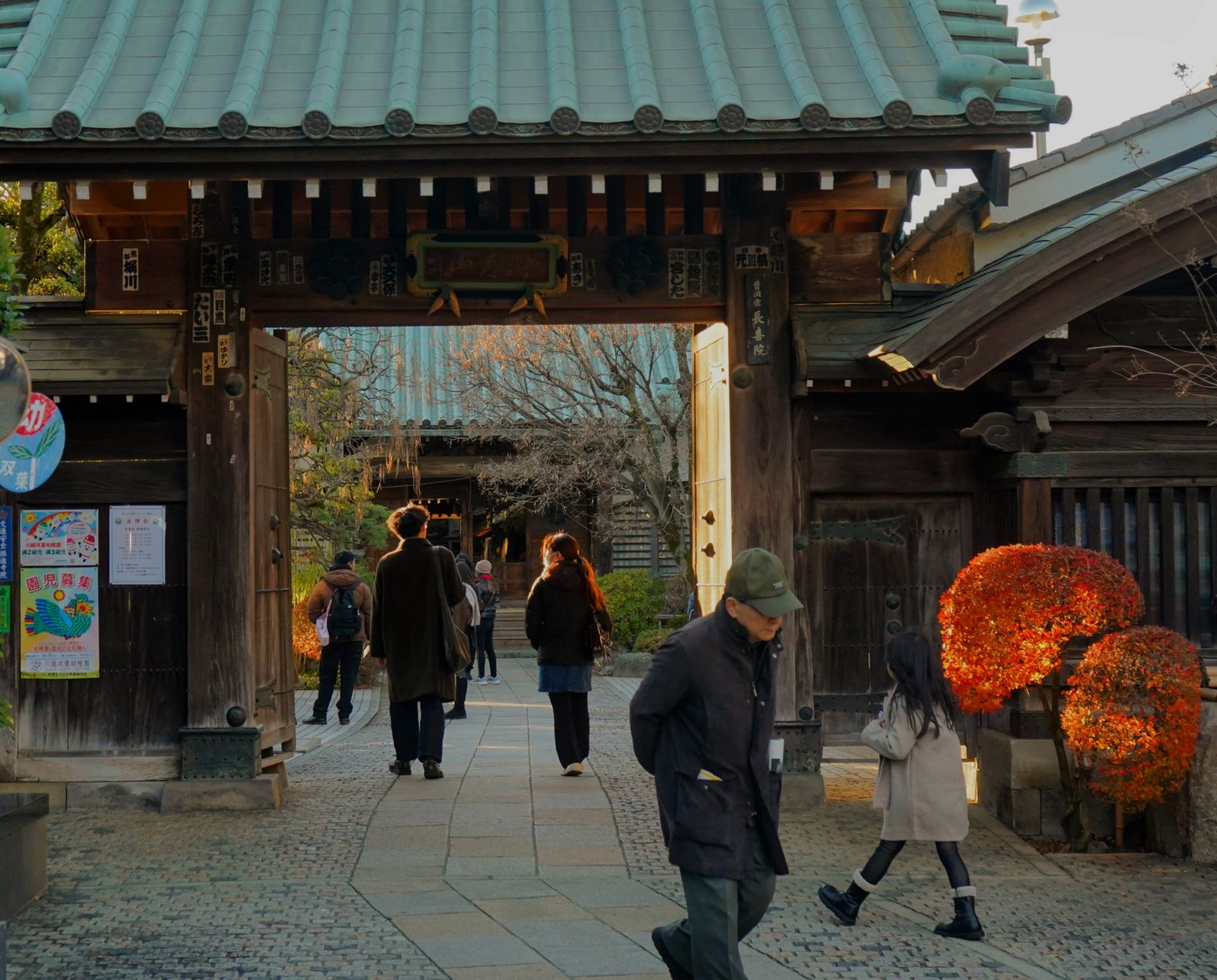
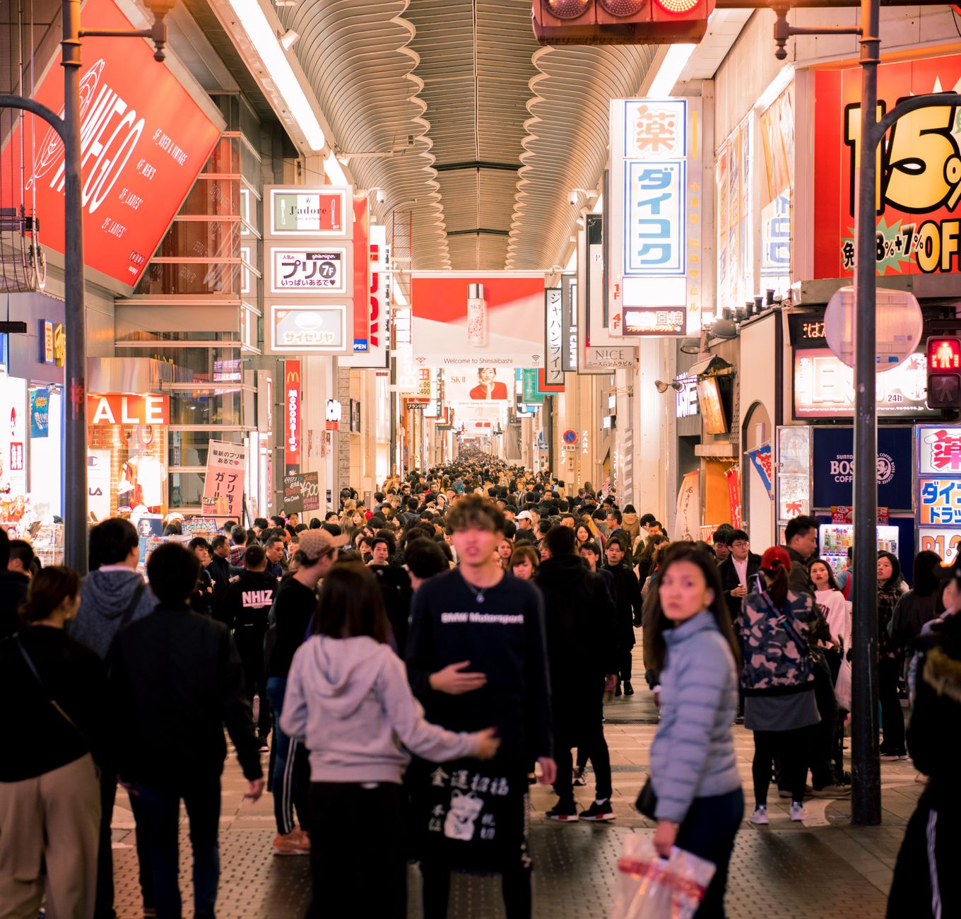
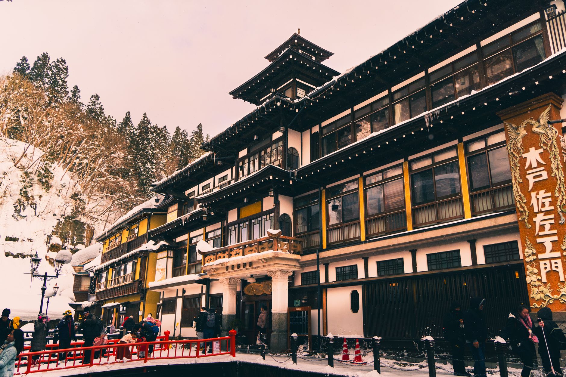
Toyonaka sits on a low plateau above the Osaka plain, close enough to the city that you can be in Umeda in fifteen minutes, far enough that the streets feel like they belong to someone's actual life. The Hankyu line has been threading through here since 1913, and the city that grew up around it has the particular texture of a place built for residents rather than visitors: parks with old farmhouses transplanted from across Japan, a shrine founded in the seventh century, and a new town that was, in 1958, Japan's first serious attempt to imagine postwar suburban living at scale.
Osaka International Airport — the older, closer one the locals still call Itami — partly occupies Toyonaka's northeastern edge, so planes pass low and slow overhead in a way that quickly stops registering. Below them, the city gets on with things.
💛 What travellers fall for
People who come back tend to make straight for Hattori Ryokuchi Park. The open-air farmhouse museum inside it rewards a slow circuit — the buildings were moved here from regions across Japan, and each one tells you something different about how people kept warm, stored rice, or let in light before concrete arrived.
Deals in Toyonaka
Book directly at the provider
How Toyonaka came to be
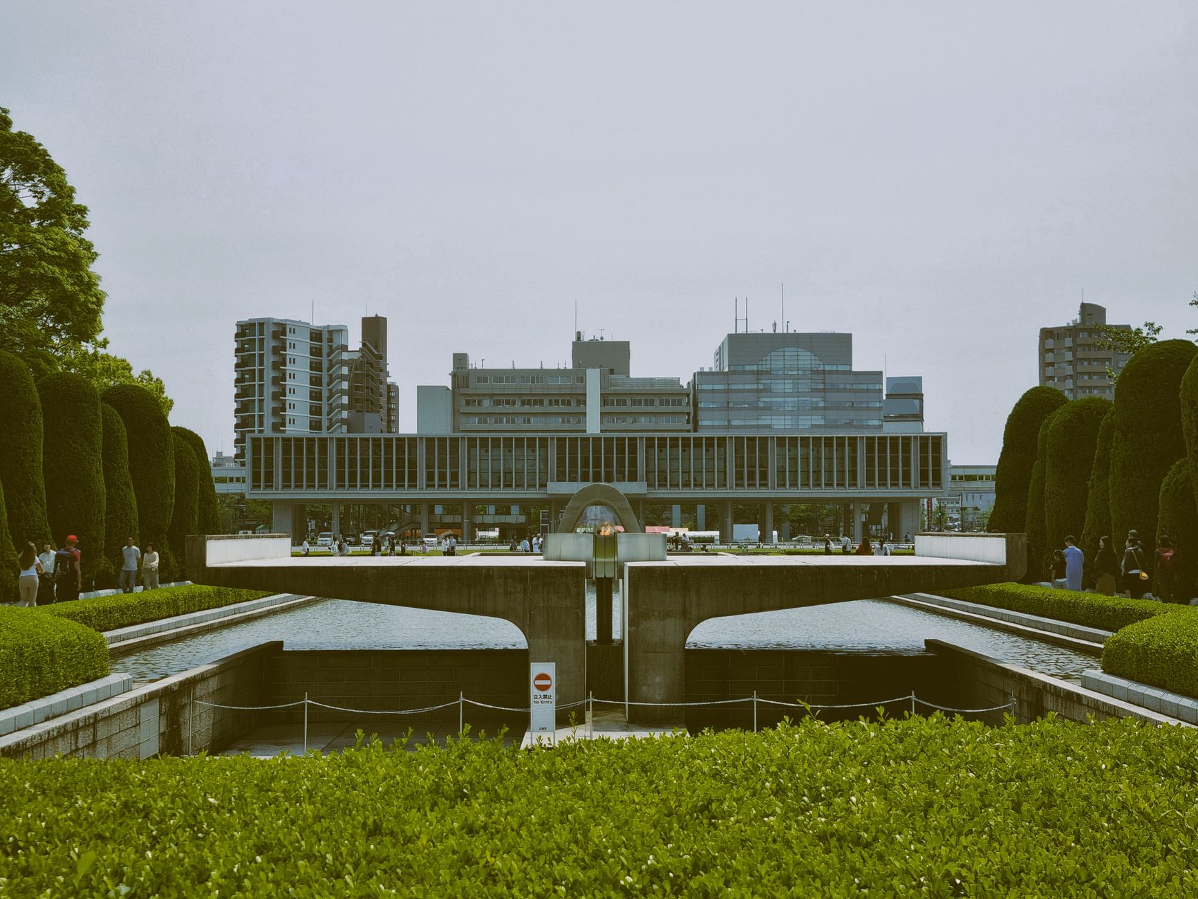
Toyonaka's administrative existence dates to April 1, 1889, when Meiji-era reforms consolidated the villages of what had been ancient Settsu Province. It remained a modest rural settlement until 1910, when the railway connection to Osaka changed its character almost immediately — within two decades it had grown enough to become a town (1927) and then a city (1936).
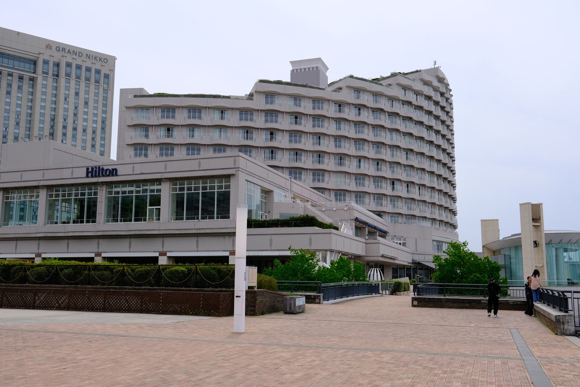
The postwar decades brought two defining projects. In 1939, Osaka International Airport was established on land that overlapped Toyonaka's boundaries, anchoring the city's relationship with infrastructure and transit. Then in 1958, the Senri district became the site of Japan's first large-scale planned new town — a national experiment in what modern housing could look like, laid out on ground that had been farmland within living memory.
Who and what shaped it
Landmark buildings
See Toyonaka in motion
Plan your visit
On the map
When to go
Summers run genuinely hot — August averages near 28°C with highs regularly above 31°C, and July's rainy season brings rain on roughly twenty days of the month. Spring and autumn are the most comfortable windows; winters are cool and dry, with January temperatures hovering around 4°C and almost no snow.
Right now
Background & history adapted from Wikipedia (CC BY-SA) · specs from Wikidata (CC0) · weather from Open-Meteo · map data © OpenStreetMap contributors · photos from Wikimedia Commons / Unsplash with per-image credit. No third-party reviews or social posts reproduced.