
Torres del Paine
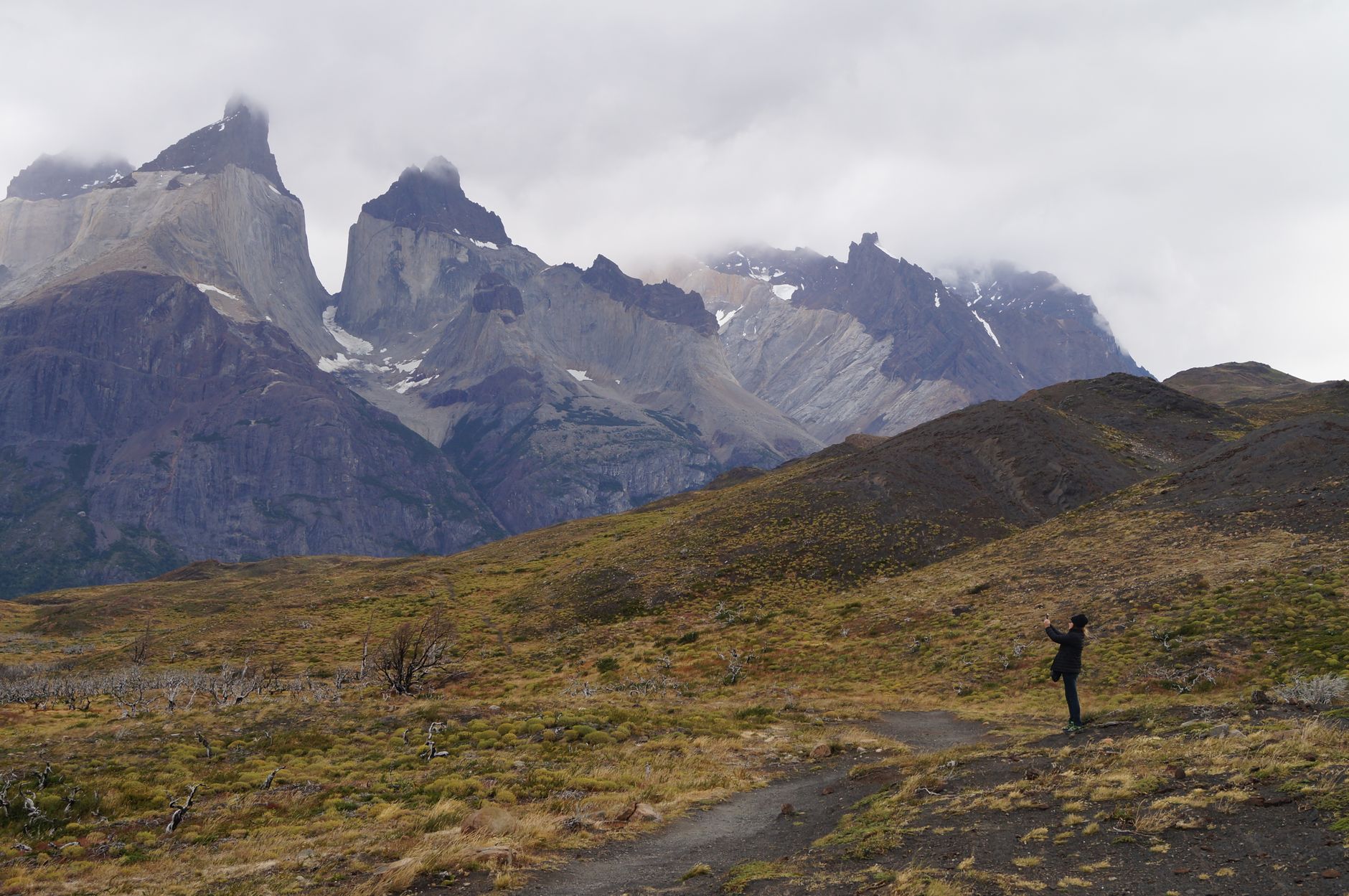

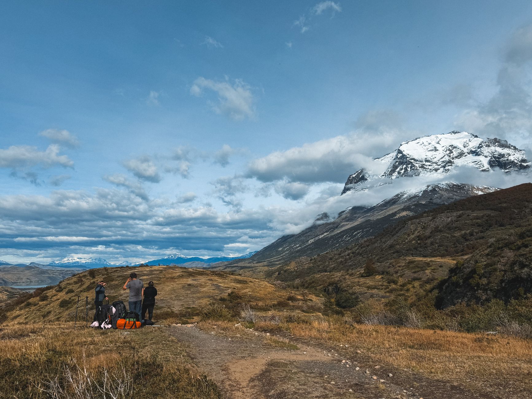
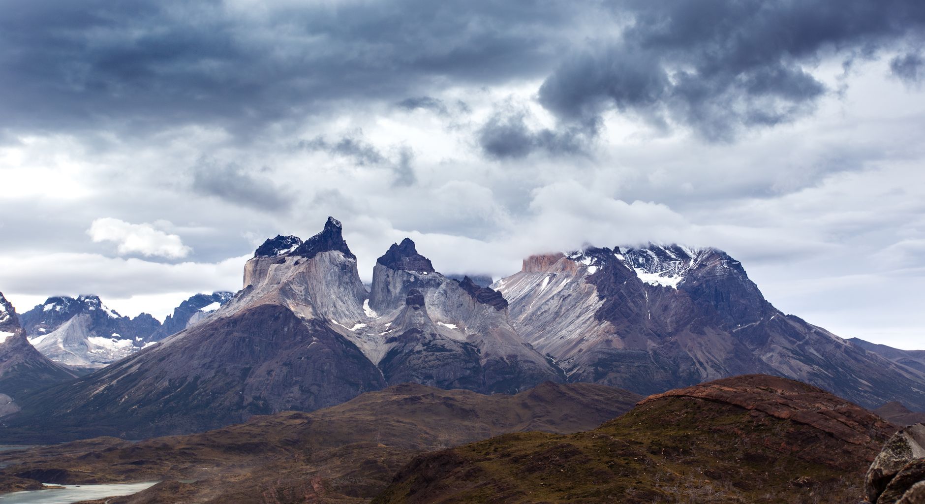

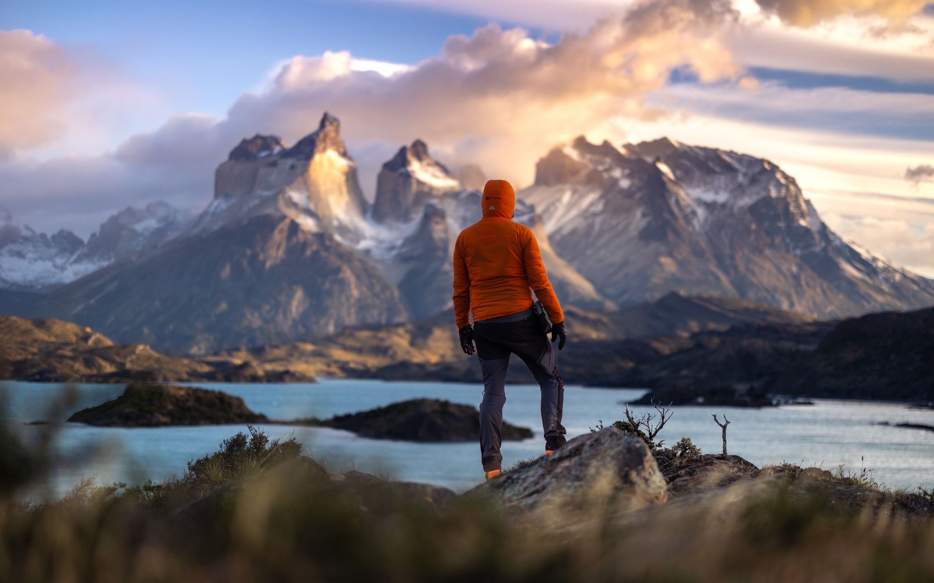
The three granite towers that give this park its name rise to 2,000 metres and were once called Cleopatra's Needles by the first foreign traveller to describe them, a Scottish writer named Florence Dixie, in 1880. That instinct to reach for a reference point makes sense — the scale here resists ordinary language. The Paine massif anchors a landscape of glaciers, lakes and steppe that sits 112 kilometres north of Puerto Natales in Chilean Patagonia, and the weather can run through all four seasons before lunch.
The W Trek and the full O Circuit are the two routes most people come to walk, taking between four and ten days respectively. But the park holds enough for a day visitor, too — a catamaran crosses Pehoé Lake, Grey Glacier stretches seven kilometres wide, and the viewpoints near the Administration area ask very little of your legs.
How Torres del Paine came to be
The park was established on 13 May 1959 under the name Parque Nacional de Turismo Lago Grey, then renamed Torres del Paine in 1970. UNESCO declared it a World Biosphere Reserve in 1978, and since 1973 it has been managed by Chile's National Forestry Corporation, CONAF.
The exploration record is full of specific names. In 1957, Italian explorer Alberto Maria de Agostini made the first ascent of the three peaks — the towers are now named Central, Monzino and De Agostini in partial recognition of those who shaped the park's story. In 1976, British mountaineer John Gardner and rangers Pepe Alarcon and Oscar Guineo pioneered the Circuit trail around the massif. A year later, Guido Monzino donated 12,000 hectares to the Chilean government, helping fix the park's boundaries.
Who and what shaped it
People who shaped it
Landmark buildings
See Torres del Paine in motion
Plan your visit
On the map
When to go
Expect roughly 2°C in July and 11°C in February, but the daily range matters more than the averages — wind, rain, sun and sleet can arrive in quick succession at any time of year. Spring and summer (September through March) give you the longest days and the most reliable access to trails, though wind is strongest in November and December.
Right now
Background & history adapted from Wikipedia (CC BY-SA) · specs from Wikidata (CC0) · weather from Open-Meteo · map data © OpenStreetMap contributors · photos from Wikimedia Commons / Unsplash with per-image credit. No third-party reviews or social posts reproduced.