
Toronto, Ontario
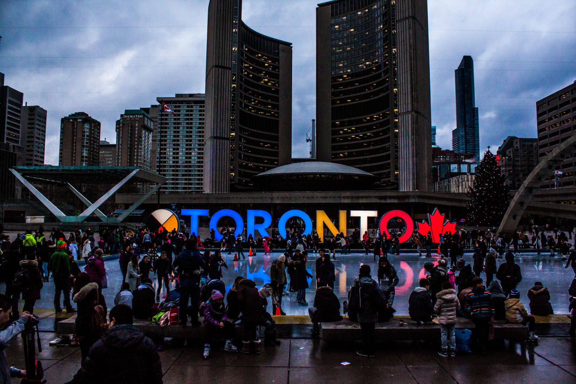
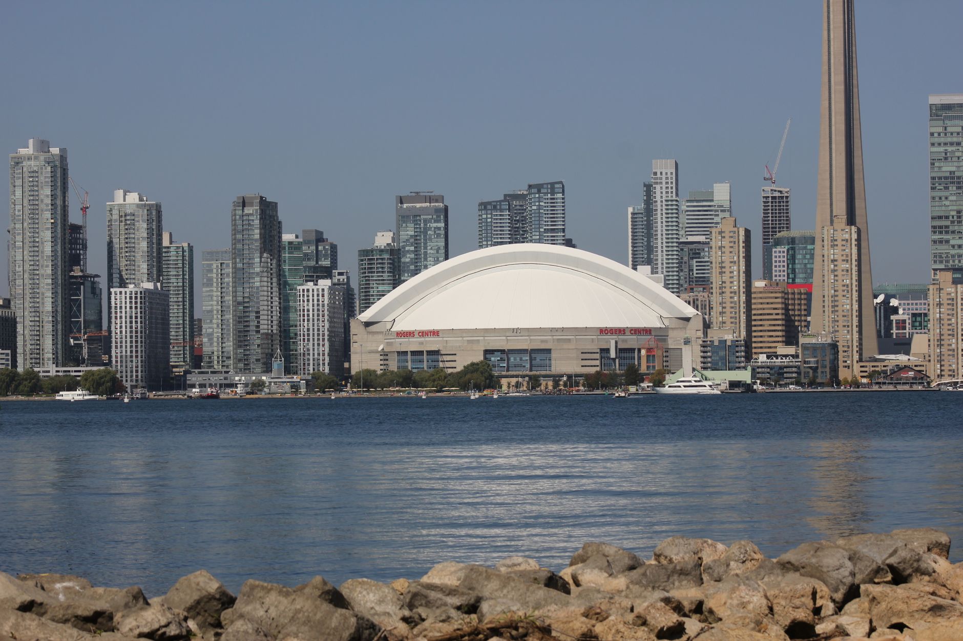

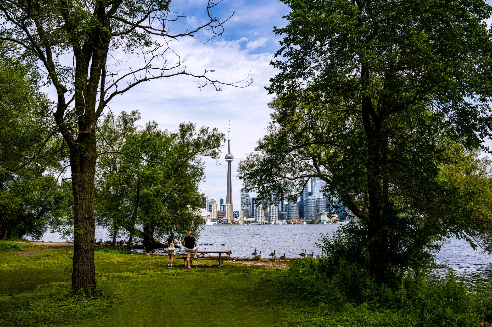
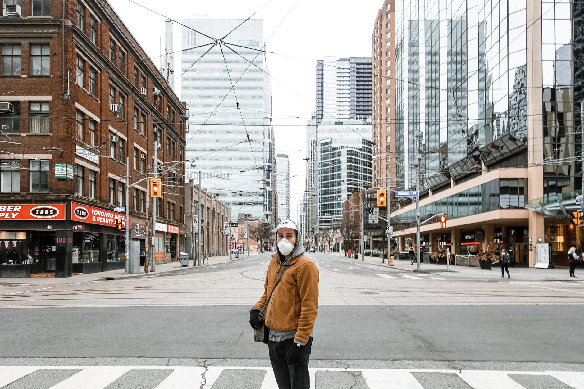
Toronto sits on the north shore of Lake Ontario with the kind of self-assurance that doesn't need to announce itself. The CN Tower — 553 metres of concrete and steel that held the world's tallest free-standing structure record for 32 years — still orients you the moment you step outside, a useful landmark in a city that sprawls in every direction. Five subway lines thread under streets named after explorers and governors, and the waterfront that once defined the city's industrial identity has slowly turned back toward public life.
This is Canada's largest city, and it carries that weight practically rather than grandly. The neighbourhoods shift in character block by block, the food scene reflects generations of immigration, and the architecture ranges from the pink sandstone of the 1893 Legislative Building to the vertiginous curves of the 1965 City Hall.
💛 What travellers fall for
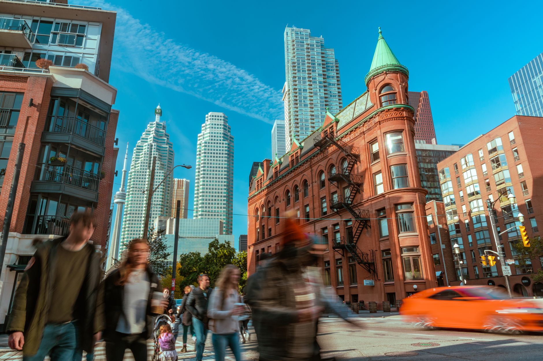
People who come back tend to structure their days around the subway — it runs every two to three minutes at peak hours and gets you across the core without much fuss. The Gooderham Building's triangular red-brick corner at Front and Wellington is worth finding on foot. CN Tower crowds thin out noticeably before 11 AM or after 7 PM.
How Toronto, Ontario came to be
The land was ceded to the British Crown by the Mississaugas in the Toronto Purchase, and in August 1793 Lieutenant-Governor John Graves Simcoe founded a town on the sheltered bay, naming it York after the English city. It was a modest colonial outpost — badly damaged during the War of 1812 when American troops occupied it for two weeks — and then further set back by the Great Fire of 1849, which destroyed a significant portion of the city centre including the Cathedral Church of St. James.
On 6 March 1834, York was renamed Toronto and William Lyon Mackenzie became its first mayor. Confederation in 1867 confirmed it as Ontario's provincial capital, and the city's modern infrastructure began taking shape: its first subway line opened in 1954 under Yonge Street, connecting Union Station to Eglinton Avenue with 12 stations.
Who and what shaped it
People who shaped it
Landmark buildings
See Toronto, Ontario in motion
Plan your visit
On the map
When to go
Summers run warm to genuinely hot — July and August can push 37–38 °C — while winters are serious, with temperatures dropping to -20 °C or below most years and snow possible from October through late May. Spring and early autumn offer the most forgiving conditions for walking the city.
Right now
Background & history adapted from Wikipedia (CC BY-SA) · specs from Wikidata (CC0) · weather from Open-Meteo · map data © OpenStreetMap contributors · photos from Wikimedia Commons / Unsplash with per-image credit. No third-party reviews or social posts reproduced.