
Tonle Sap Lake
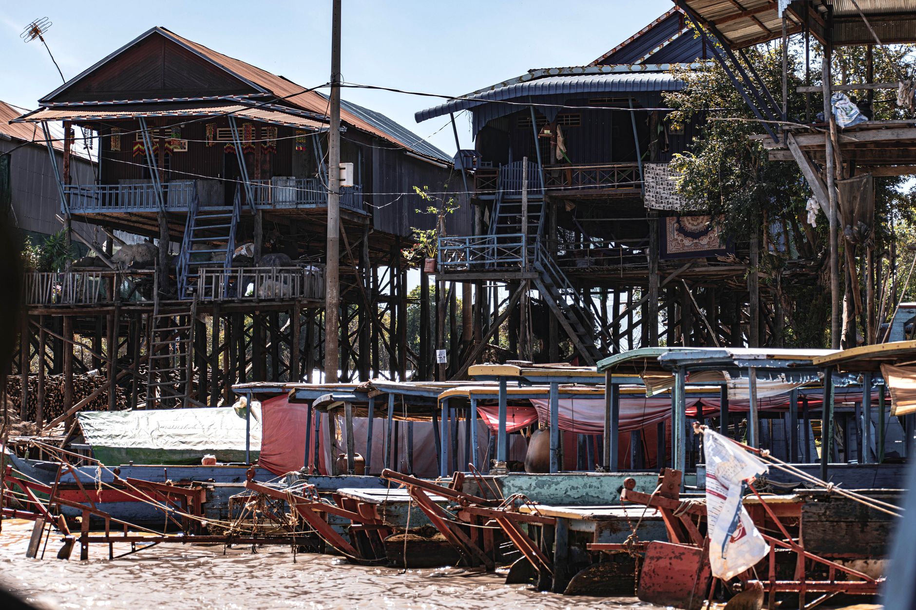

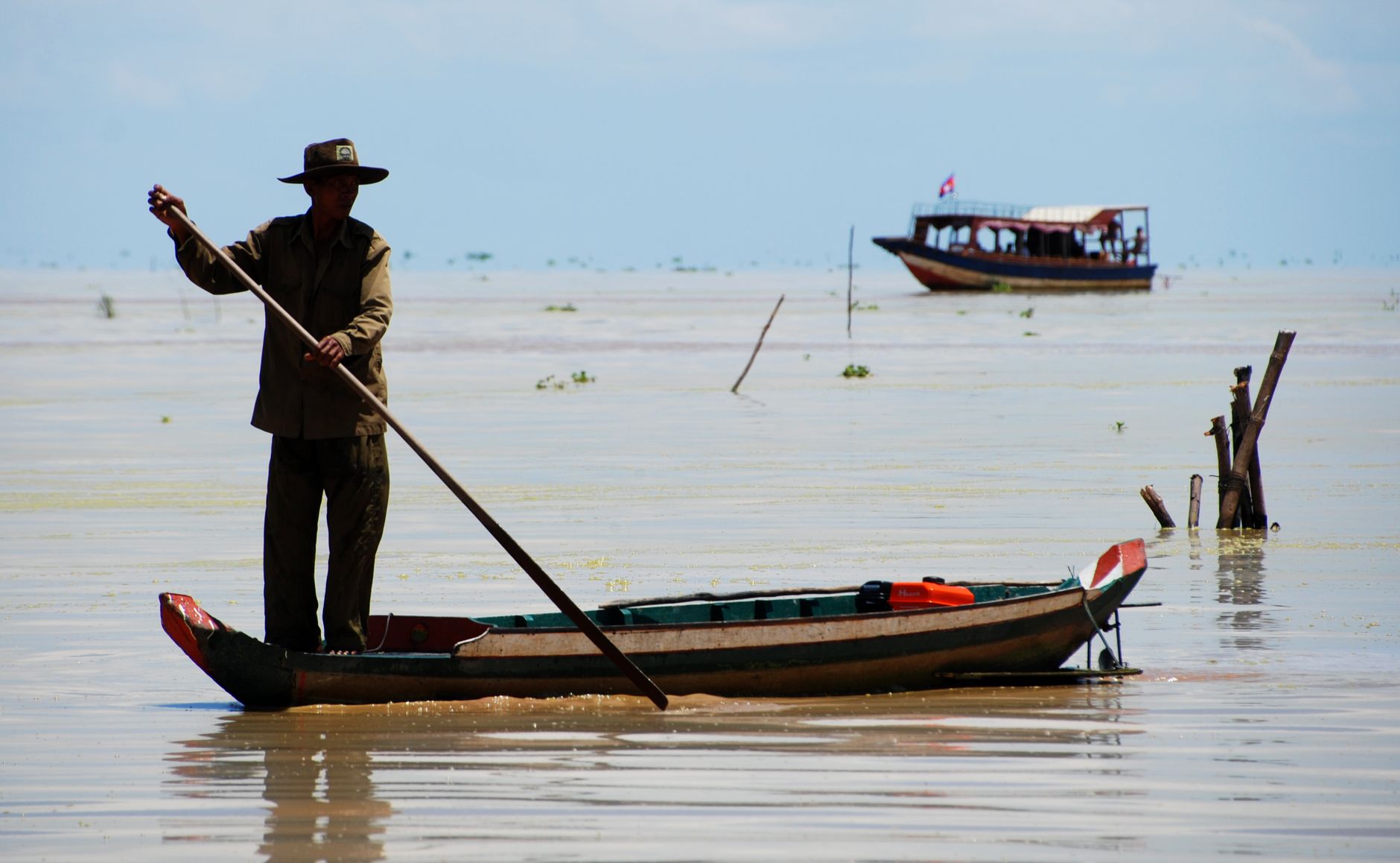
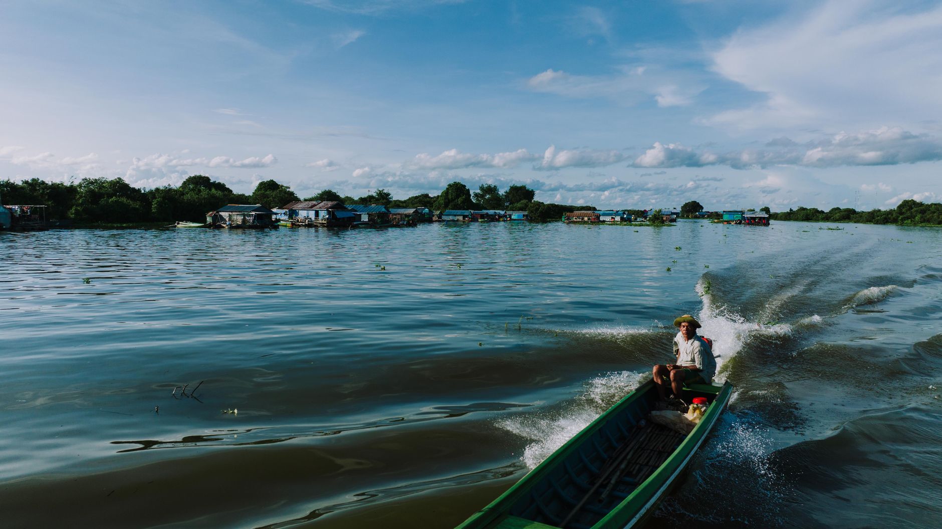
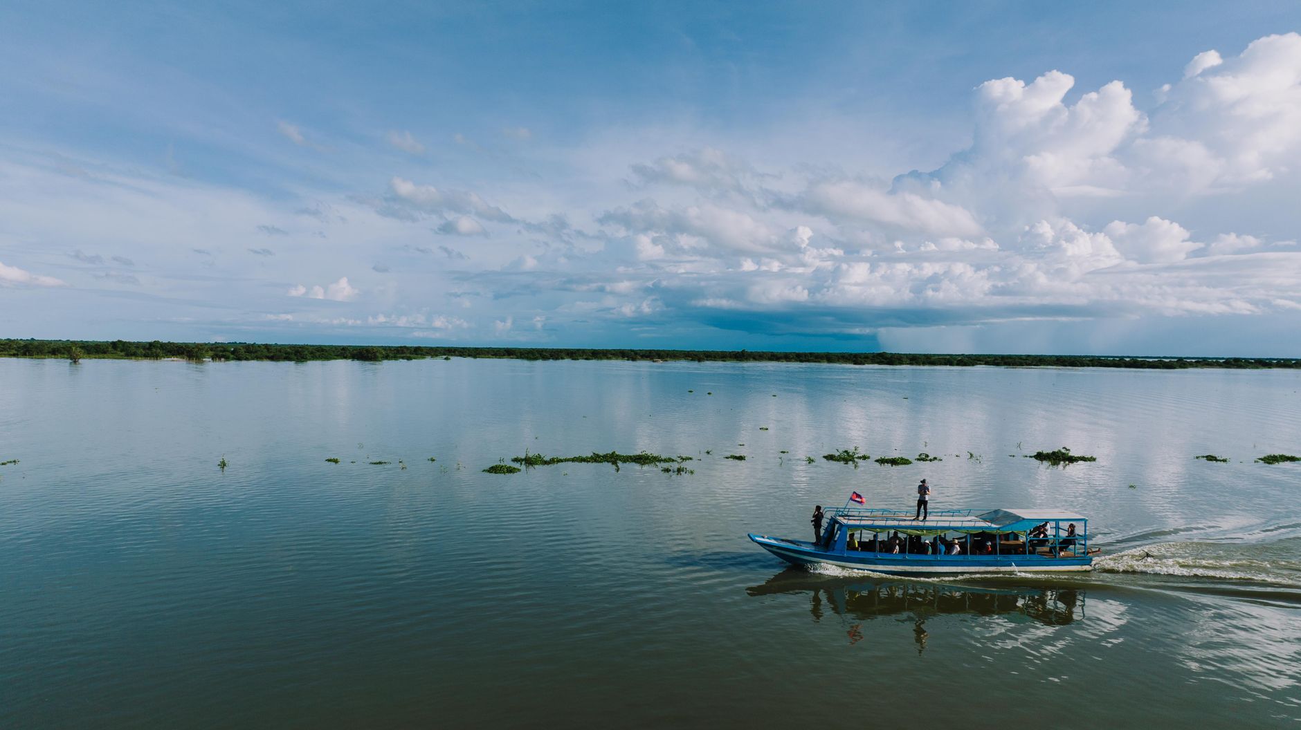
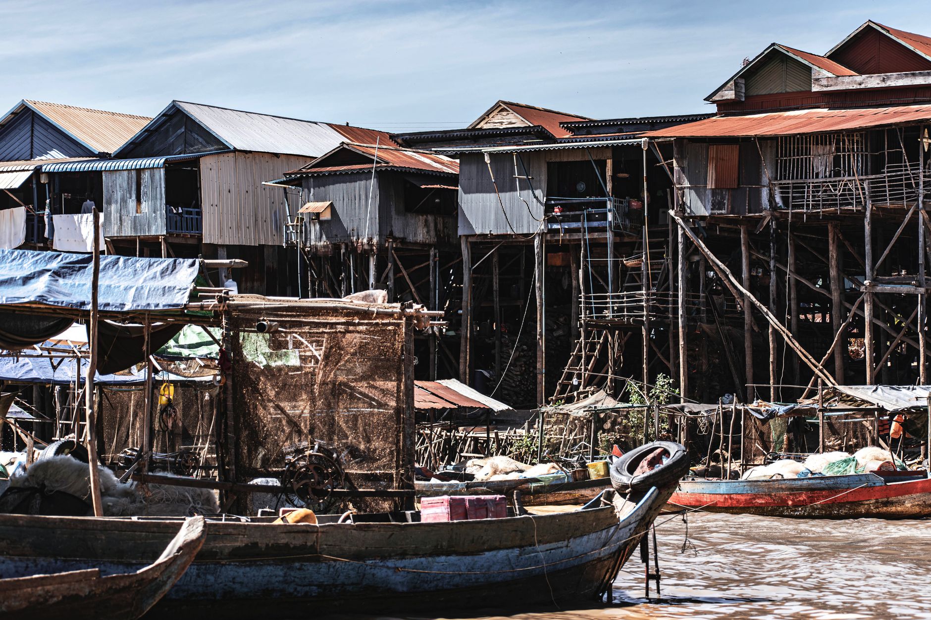
Tonle Sap is Southeast Asia's largest freshwater lake, and it does something no other lake on earth quite replicates: every year, the Mekong monsoon reverses the direction of its tributary river, pushing water back upstream until the lake swells to five times its dry-season size. Whole forests go underwater. Houses on ten-metre stilts become waterline dwellings. Communities of Vietnamese, Cham, and Khmer families have built their lives around this rhythm for centuries, in villages that float, shift, and resettle with the water.
Around 1.2 million people live in and around the lake today. Approaching by boat — whether from Siem Reap toward Chong Khneas or on the longer run to Kompong Khleang — you pass fish traps, floating schools, and stilted pagodas that reframe your sense of what a permanent home can look like.
How Tonle Sap Lake came to be
The lake basin formed roughly 5,700 years ago through subsidence of the Cambodian platform — geologically recent, which partly explains why the sediment is so extraordinarily fertile. By the 12th century, the Tonle Sap was feeding the Khmer Empire's heartland; Angkor, just north of the lake's edge, is estimated to have held close to 900,000 inhabitants around 1200 AD, sustained in large part by the lake's annual fish harvest and the irrigation it made possible.
Floating villages and stilt communities have existed here since at least the Khmer Empire period, a way of living shaped entirely by the water's rise and fall. UNESCO recognised the lake's ecological significance in 1997, designating it a Biosphere Reserve — one of the most biodiverse freshwater systems in the world, and a critical habitat for endangered waterbirds concentrated around Prek Toal.
Who and what shaped it
Landmark buildings
See Tonle Sap Lake in motion
Plan your visit
On the map
When to go
September through November is the most dramatic time to visit: the lake is at peak flood, flooded forests are navigable by boat, and the scale of the transformation is fully visible. December through February is dry, comfortable, and the best window for birdwatching at Prek Toal. From March to May, water levels can drop enough to ground boats in mud and close some routes entirely.
Right now
Background & history adapted from Wikipedia (CC BY-SA) · specs from Wikidata (CC0) · weather from Open-Meteo · map data © OpenStreetMap contributors · photos from Wikimedia Commons / Unsplash with per-image credit. No third-party reviews or social posts reproduced.