
Tobago Main Ridge Forest Reserve
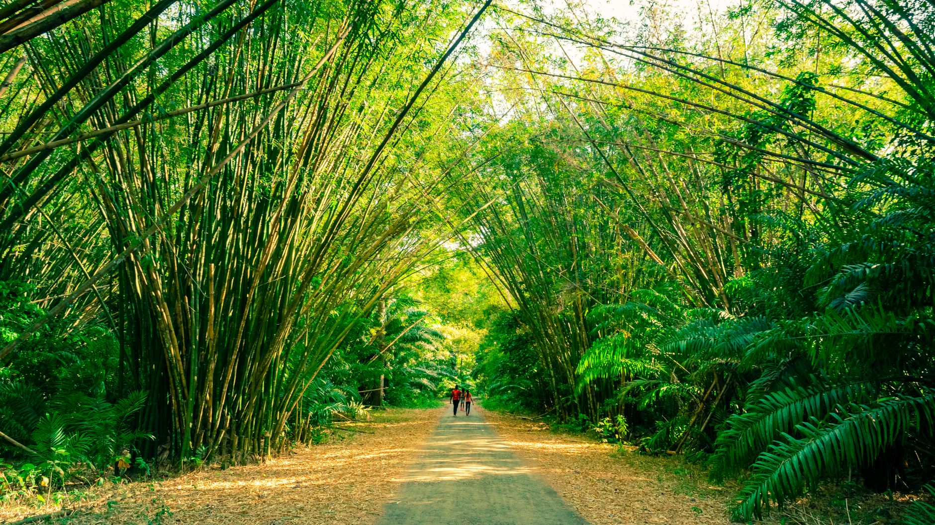
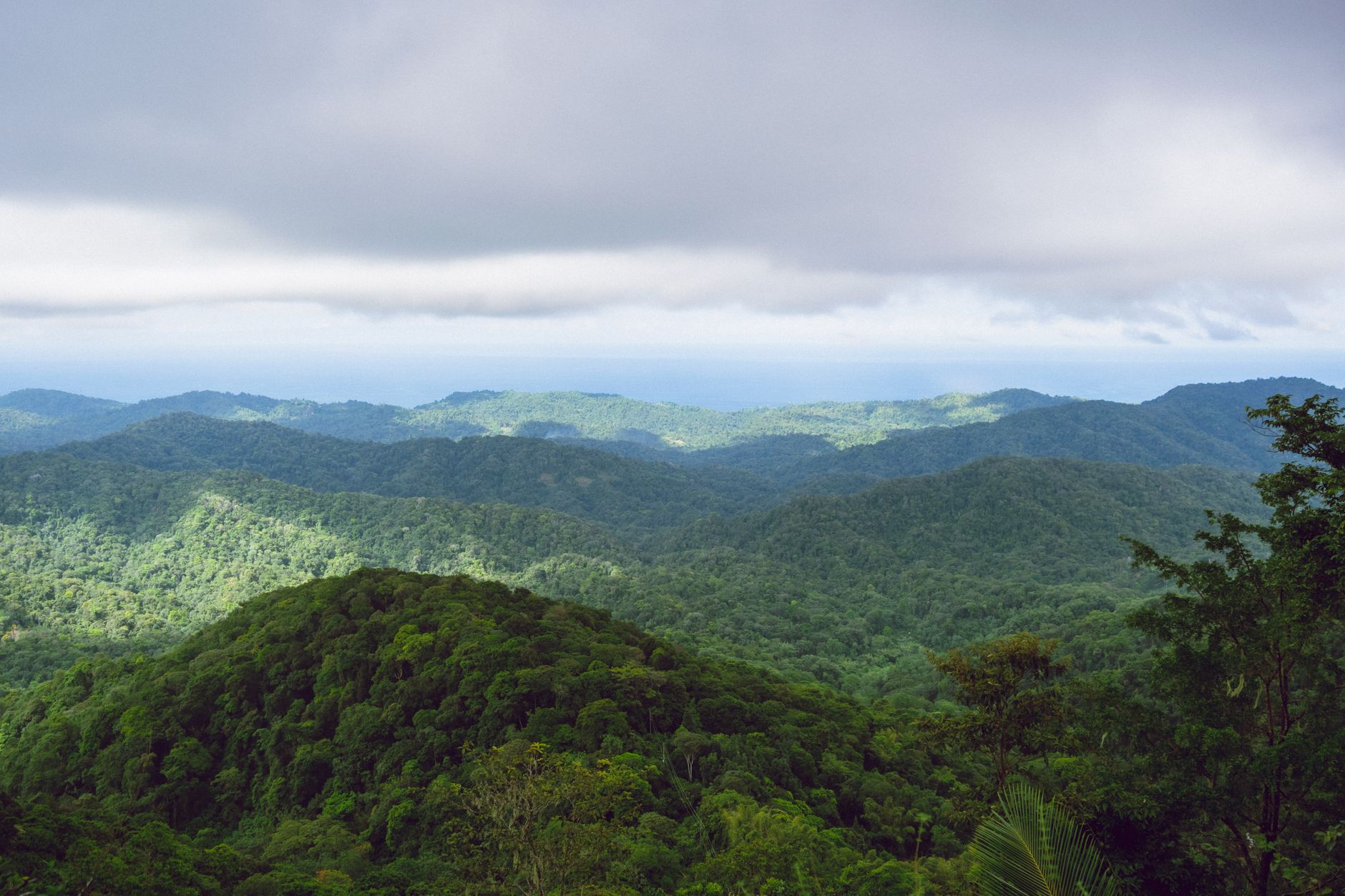
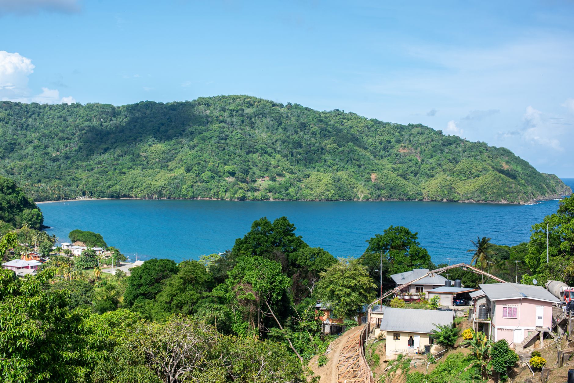
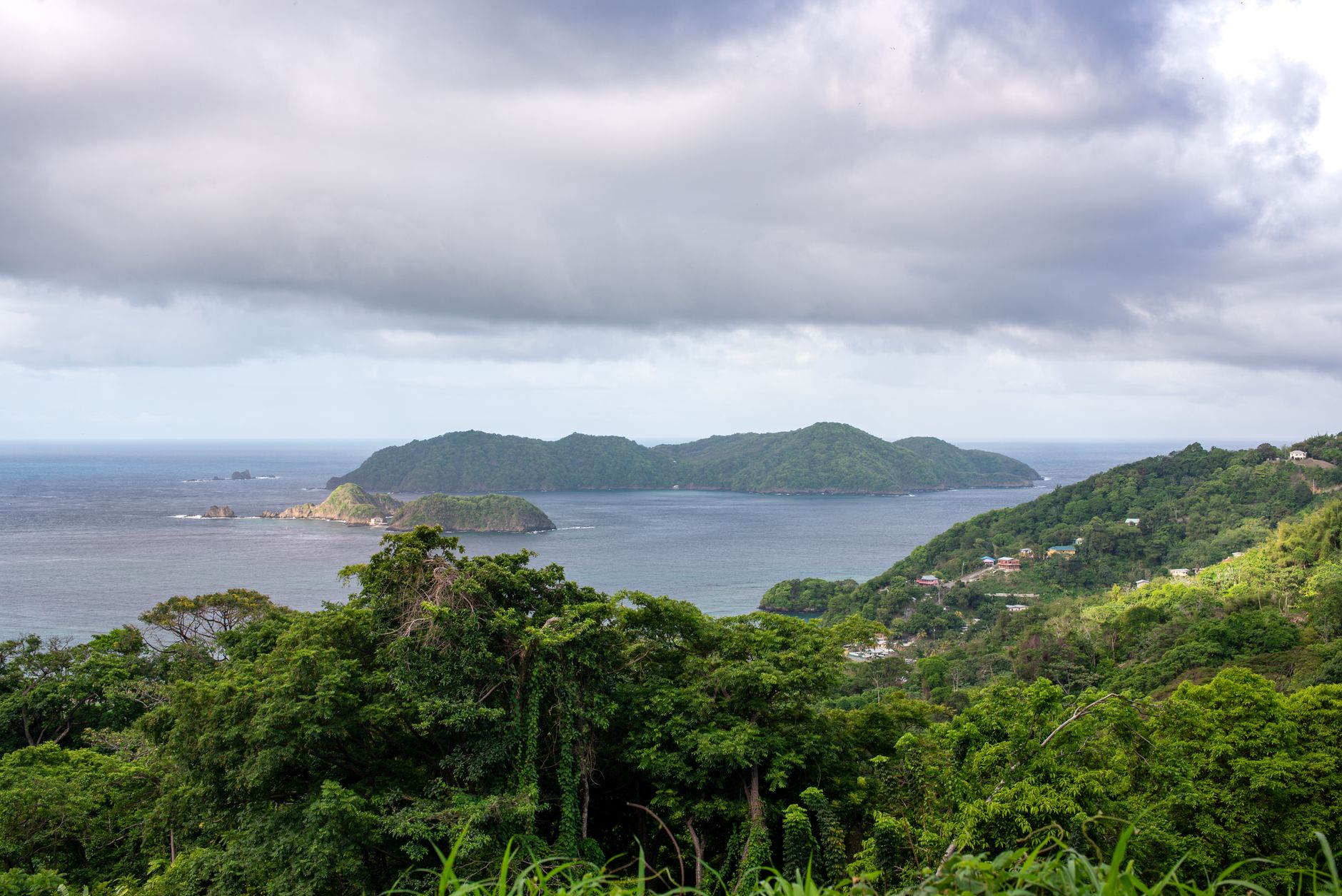
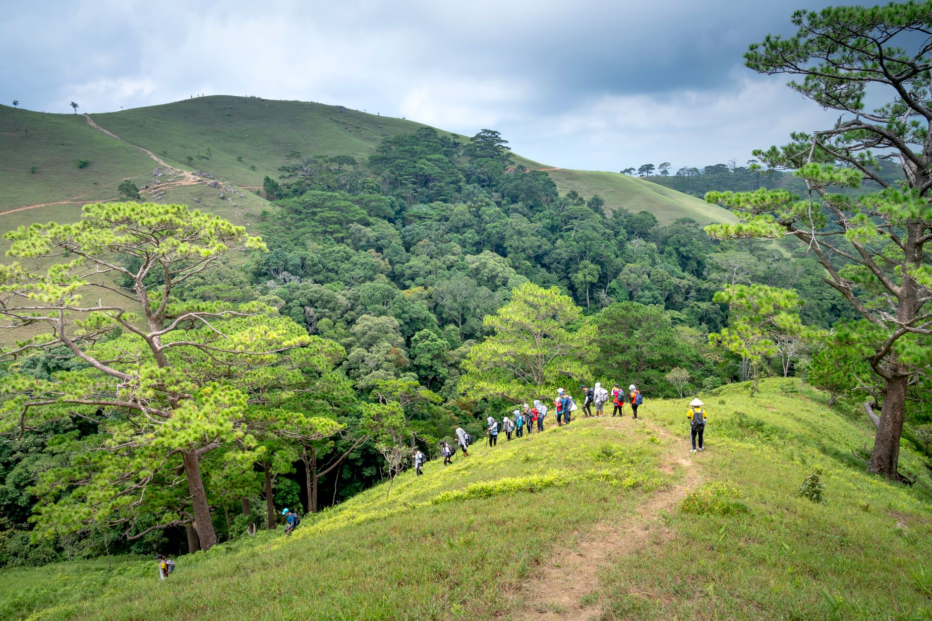
The oldest legally protected forest reserve in the Western Hemisphere sits on a ridge running the length of Tobago, and it earns that distinction in the most tangible way: stand still on Gilpin Trace for a minute and the canopy closes over you, the light goes green and diffuse, and something calls from a branch you'll never locate.
More than 160 tree species crowd the slopes here, including palm-lined ridges and emergent giants with names that feel like taxonomy poetry. The white-tailed sabrewing hummingbird — thought gone after Hurricane Flora in 1963 and then quietly rediscovered in 1974 — still makes its home in this forest. That alone tells you something about the place.
💛 What travellers fall for
People who come back tend to say the same thing about guides: book one with TTTIC certification and ask them about the sabrewing before you set off. The Gilpin Trace walk rewards early starters before the midday heat arrives. Pack more water than you think you need, and assume the trail will be muddier than it looks on any map.
How Tobago Main Ridge Forest Reserve came to be
On April 13, 1776, colonial authorities in Tobago passed a legal ordinance protecting this ridge of forest — not for scenery or sentiment, but for rain. The wording was frank: the forest existed 'for the purpose of attracting frequent showers of rain upon which the fertility of lands in these climates doth entirely depend.' Behind the ordinance was Soame Jenyns, a British Parliament member overseeing trade and plantation affairs, who had spent more than a decade pressing the case. His argument drew on the work of English scientist Stephen Hales, who had studied the relationship between forests and rainfall.
In 1904, the original Crown Reserve was joined with adjacent Crown lands and formally proclaimed the Main Ridge Forest Reserve. The reserve now receives around 15,000 eco-tourists a year and was recognised as a leading ecotourism destination through much of the early 2000s — though the forest itself predates all of that by several centuries.
Who and what shaped it
People who shaped it
Landmark buildings
See Tobago Main Ridge Forest Reserve in motion
Plan your visit
On the map
When to go
January through May is the drier, cooler season and the better window for birdwatching, with more species in open view. From June onward, tropical rainstorms arrive with little warning — a lightweight waterproof is worth carrying year-round, and expect sections of trail to be muddy regardless of season.
Right now
Background & history adapted from Wikipedia (CC BY-SA) · specs from Wikidata (CC0) · weather from Open-Meteo · map data © OpenStreetMap contributors · photos from Wikimedia Commons / Unsplash with per-image credit. No third-party reviews or social posts reproduced.