
Tioman Island
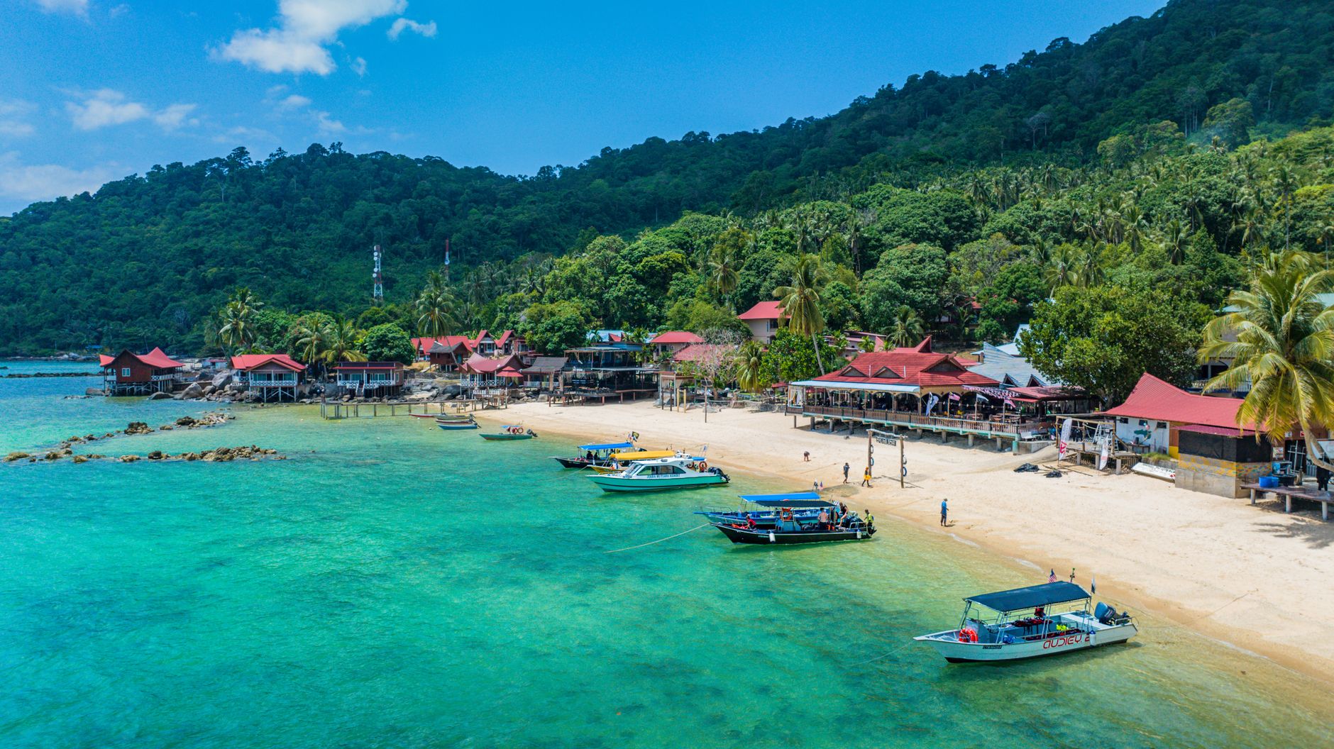
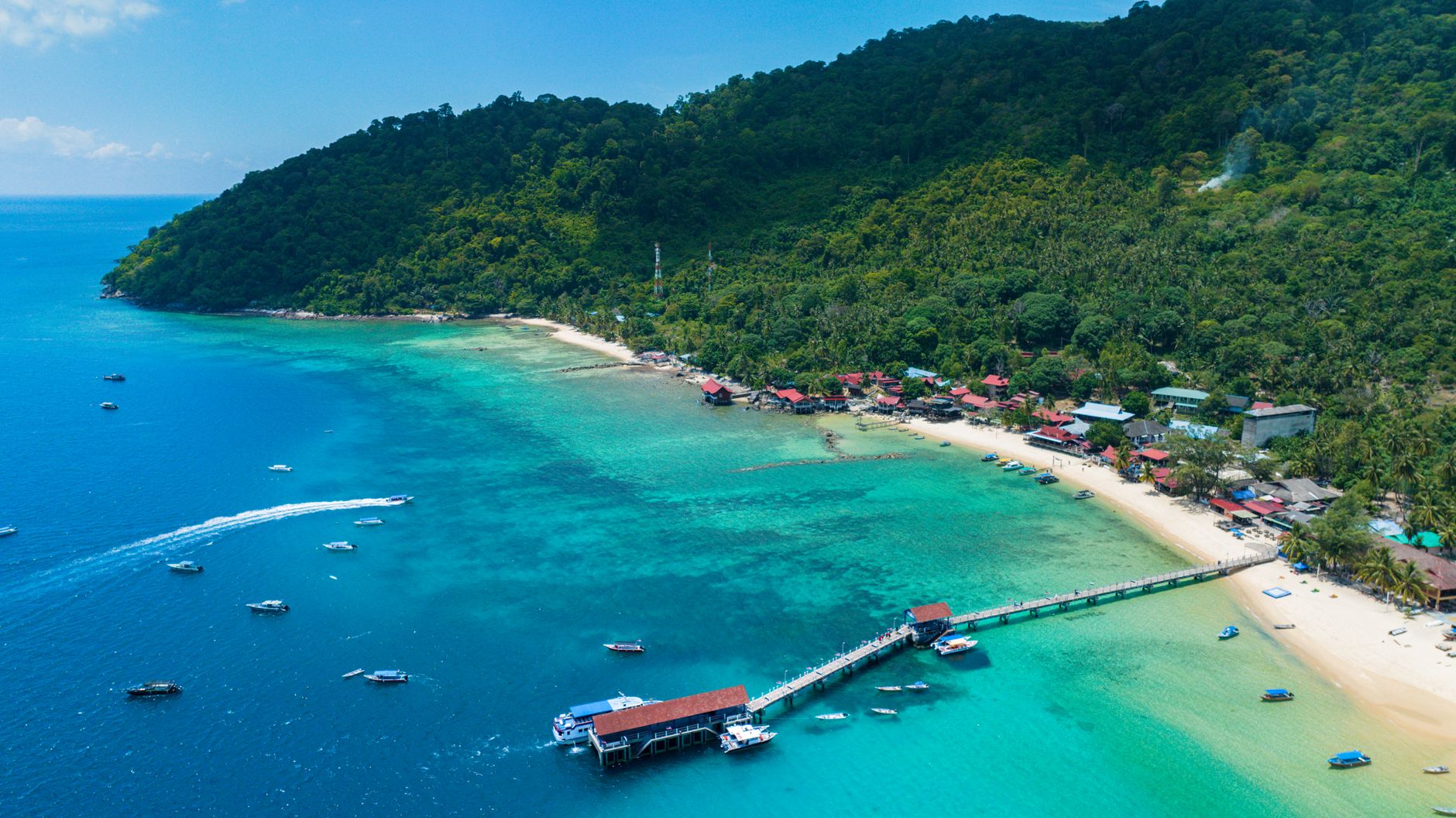
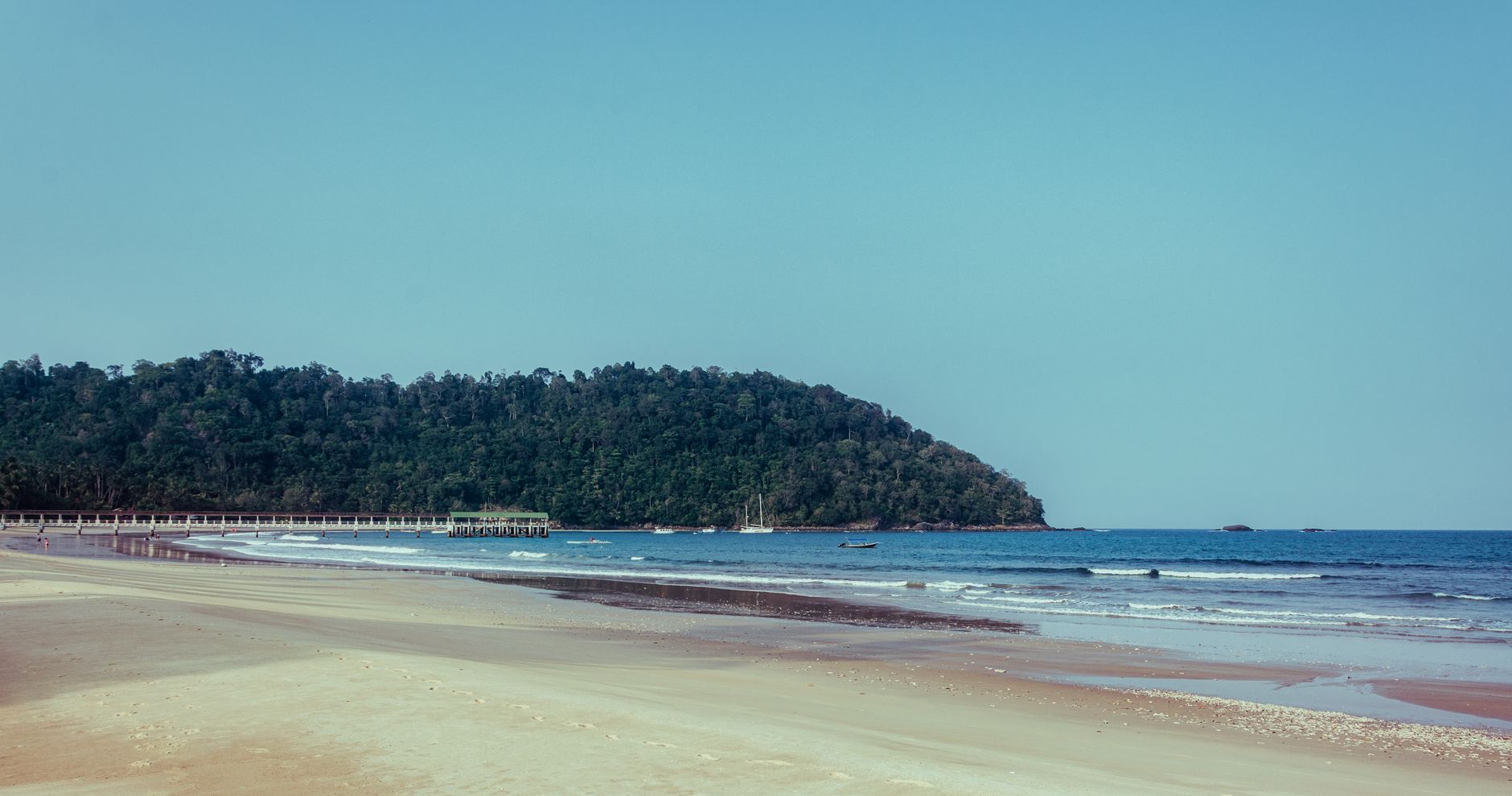
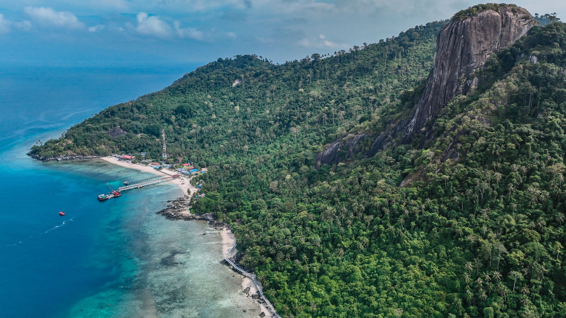
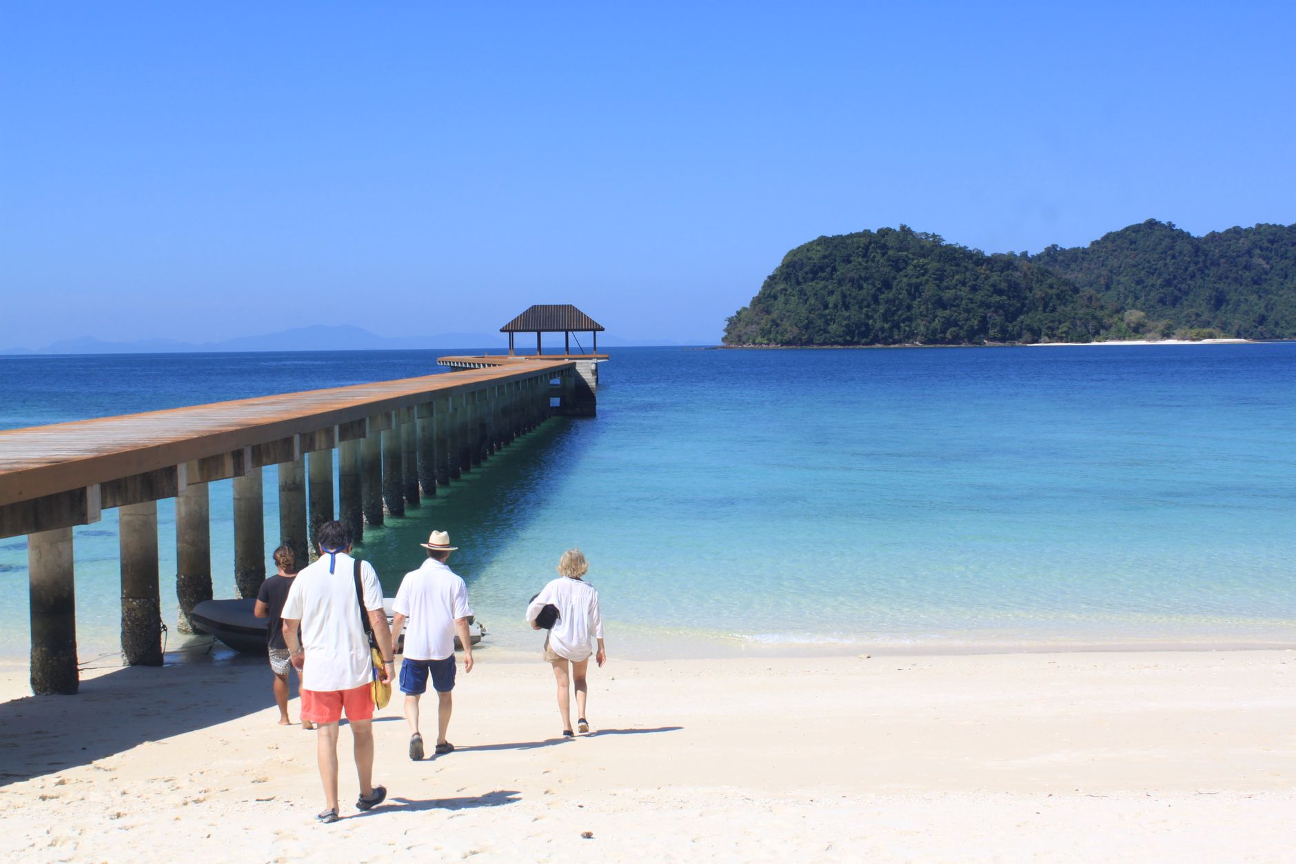
Somewhere between the South China Sea and the Pahang coast, Tioman rises out of the water in a silhouette so dramatic — twin peaks, dense jungle canopy, beaches of pale sand — that a 1958 Hollywood production crew chose it to stand in for Bali Ha'i. The film was South Pacific, and the tourists followed. What they found, and what you still find, is an island that has resisted the worst of overdevelopment through a combination of marine-park rules, a strict three-storey building cap, and geography that simply makes mass infrastructure difficult.
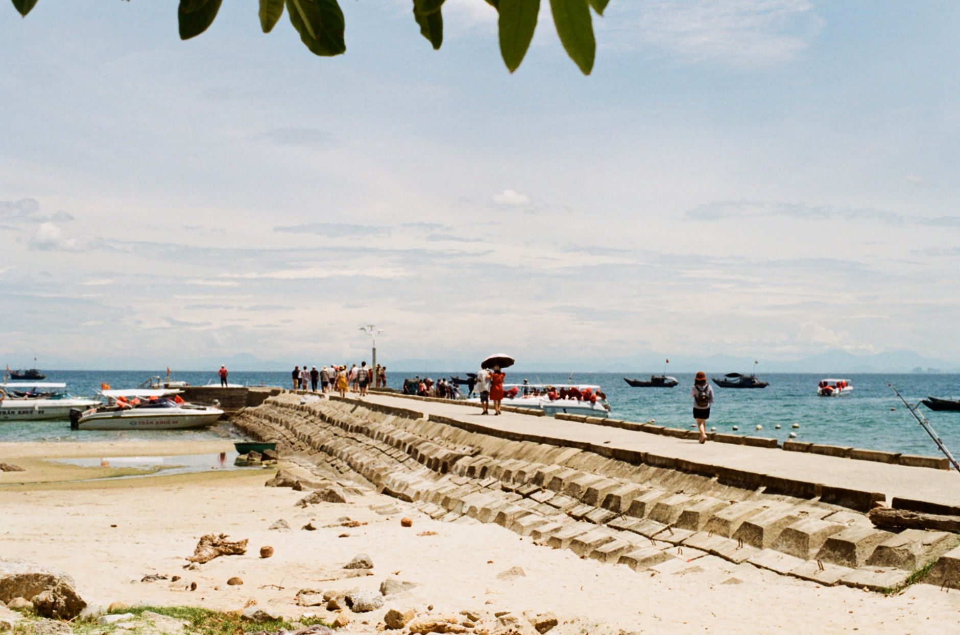
Seven main villages sit along the western and eastern coasts, each with its own character and its own jetty. Chinese porcelain fragments still surface on the beaches — remnants of the Arab and Chinese trading ships that stopped here for fresh water a thousand years ago. The reefs below hold more recent wreckage: two British warships sunk in 1941, now coral-covered and frequented by reef sharks.
💛 What travellers fall for
People who come back tend to split their time between villages rather than staying put — a few nights at Air Batang for the social dive-shop scene, then a bumpy boat ride to Juara on the wilder east coast. The Juara Turtle Project welcomes volunteers, and the timing of a nest hatch is the kind of thing repeat visitors quietly plan their trips around.
How Tioman Island came to be
Arab and Chinese navigators were logging Tioman as a waypoint by the 10th century — a reliable source of water and timber on the long passage toward Champa. For the better part of a millennium it served traders rather than settlers, accumulating little but porcelain shards and the occasional logbook entry. Administratively, it became part of Pahang on 1 September 1868, when an agreement between the Temenggong of Johore and Sultan Wan Ahmad formalized the boundary.
The Second World War brought both the British and Japanese navies into its waters; HMS Repulse and HMS Prince of Wales went down off the coast in December 1941. The island's modern tourism story begins with a film set: the 1958 production of South Pacific used the Asah Waterfalls as a backdrop, and the resulting global attention — amplified when TIME included Tioman in its list of the world's most beautiful islands in the 1970s — drew the first wave of organized guesthouses. A Marine Park designation followed in 1994, and duty-free status granted in 2002 under Prime Minister Mahathir Mohamad brought a second wave of commercial investment, anchored by Vincent Tan's Berjaya Tioman Resort.
Who and what shaped it
People who shaped it
Landmark buildings
See Tioman Island in motion
Plan your visit
On the map
When to go
Temperatures barely move — around 28–30°C year-round — but the northeast monsoon (roughly November through February) brings rough seas, reduced ferry crossings, and shuttered resorts across the island. March through October is the open season; February and March offer the clearest skies, while June and July are the peak months for settled weather and visibility underwater.
Right now
Background & history adapted from Wikipedia (CC BY-SA) · specs from Wikidata (CC0) · weather from Open-Meteo · map data © OpenStreetMap contributors · photos from Wikimedia Commons / Unsplash with per-image credit. No third-party reviews or social posts reproduced.