
Tikal (Belize side access) - Cayo District
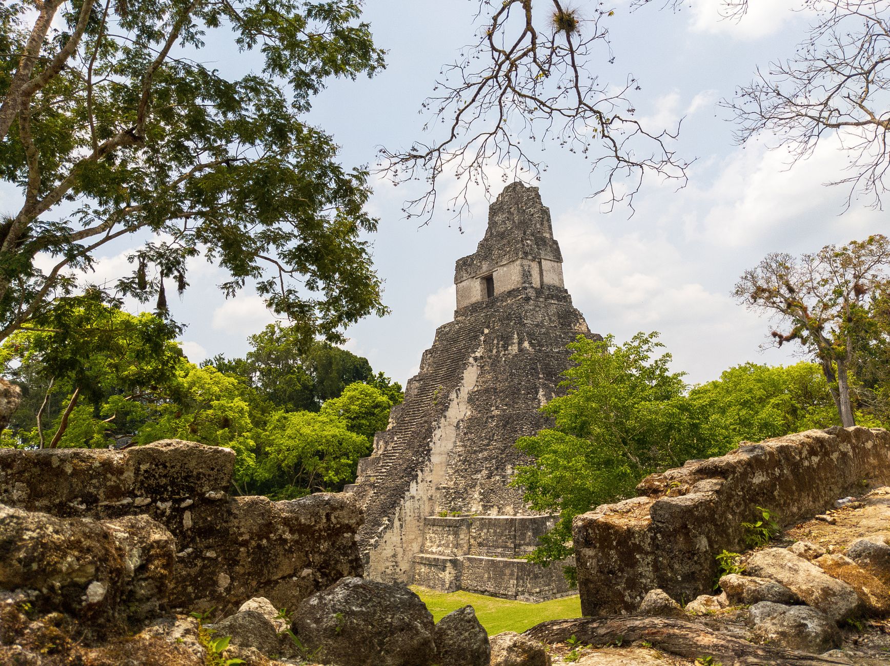
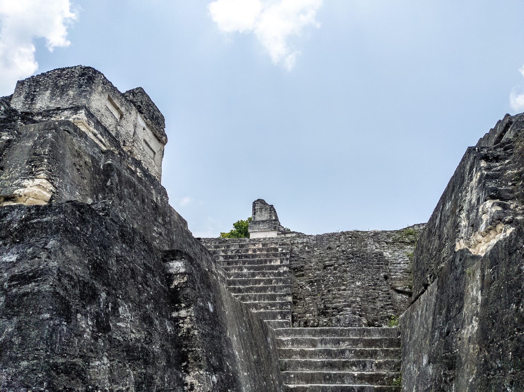
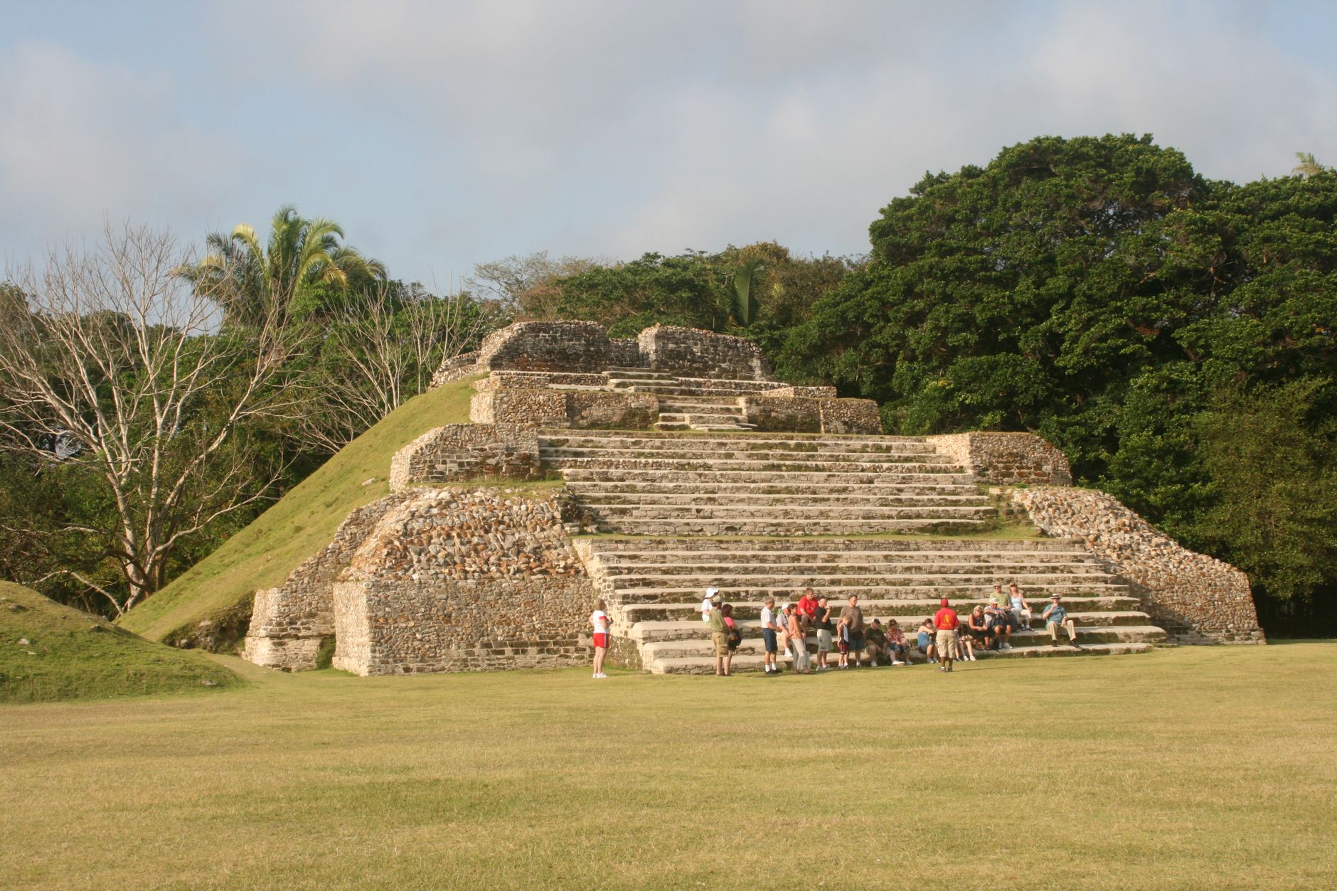
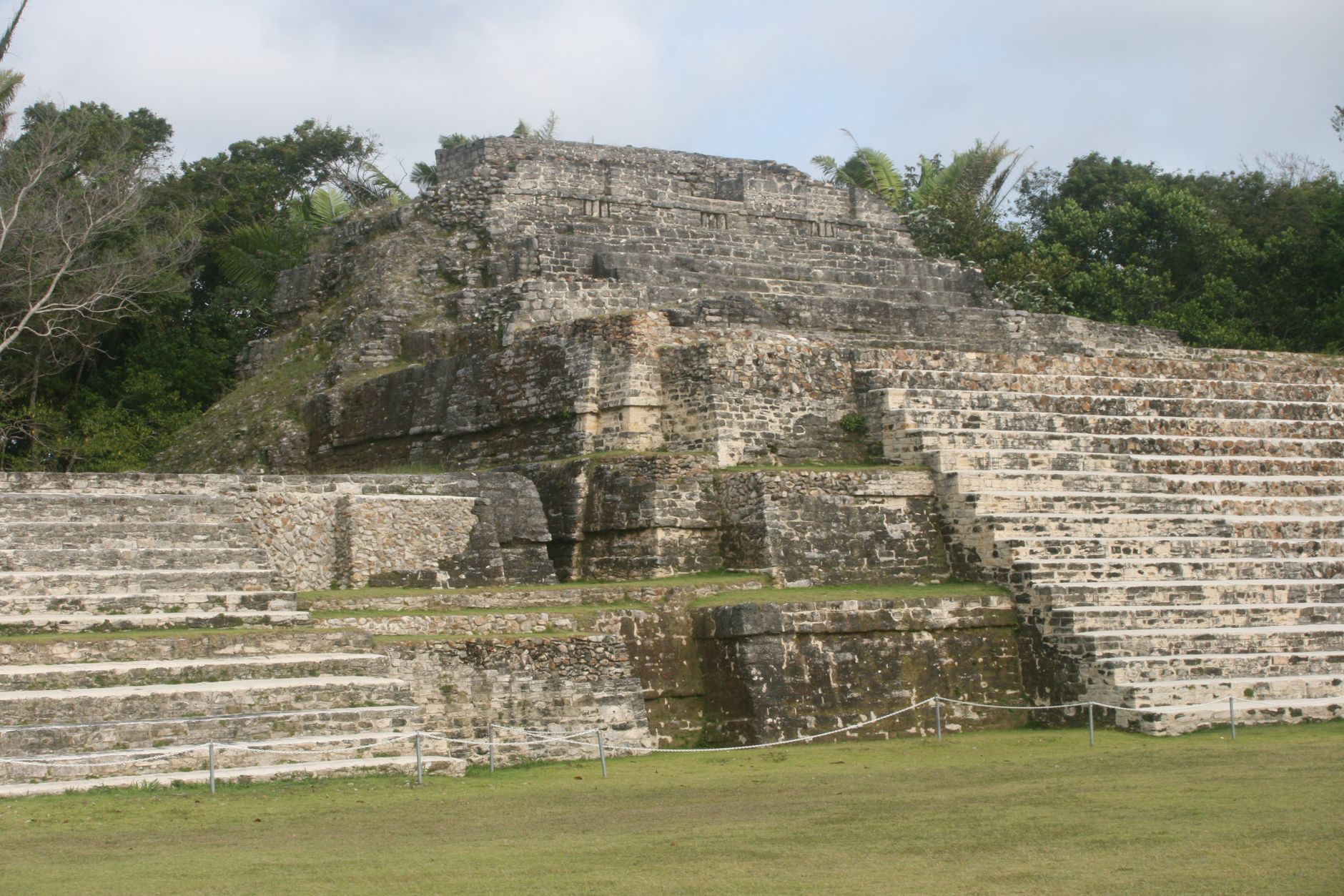
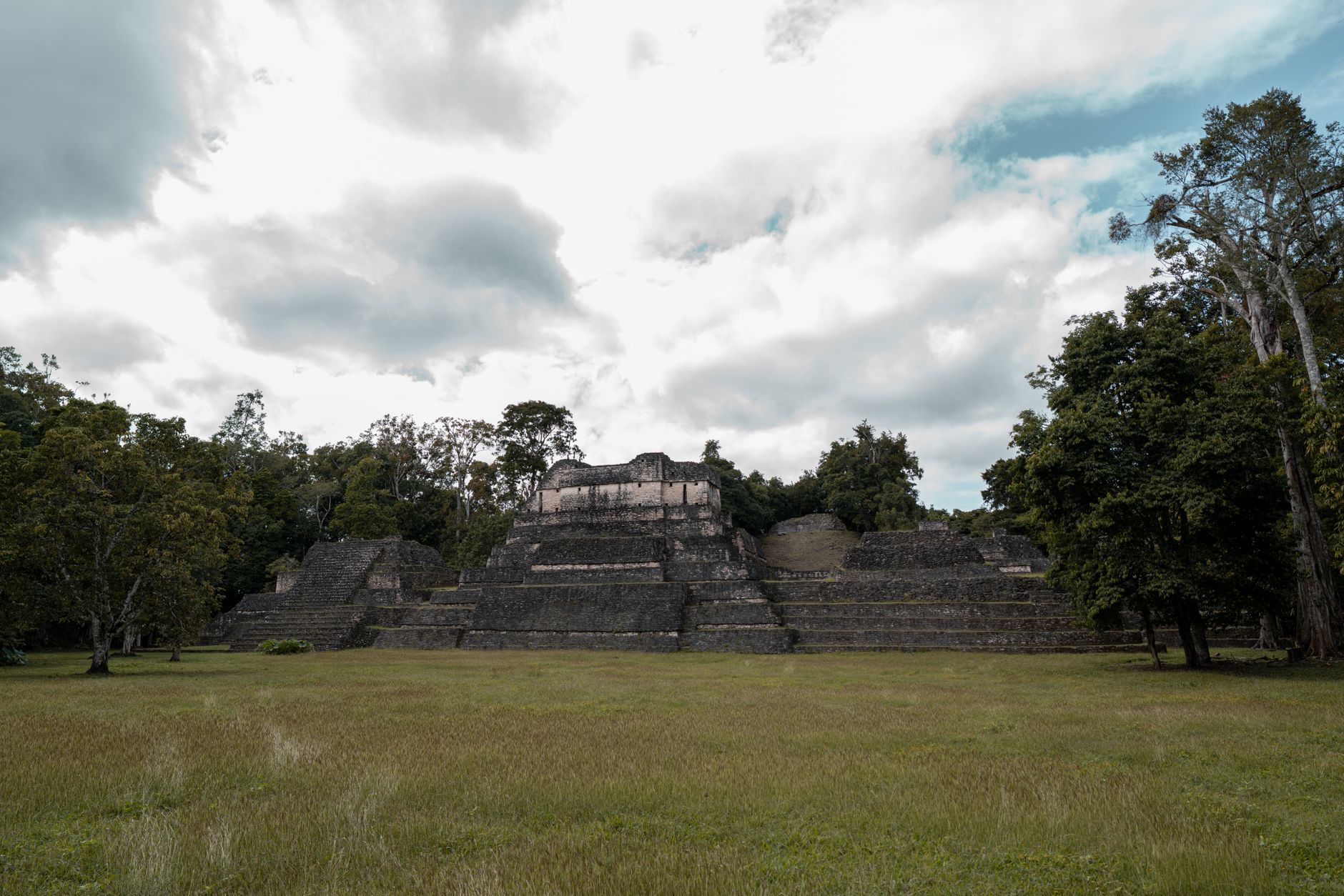
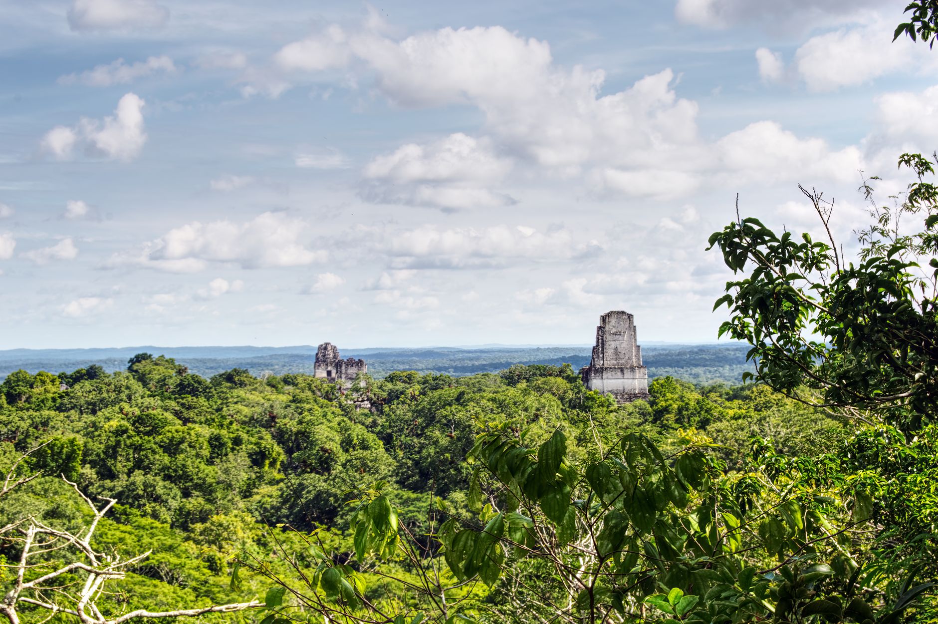
Tikal sits in Guatemala, but the most natural way in from this part of the world is west out of San Ignacio — a 90-minute drive across the border into the Petén lowlands. What meets you on the other side is a Classic Maya city that, at its height around 700–800 CE, covered roughly 65 square kilometres and held tens of thousands of people. Six great temple-pyramids still rise above the canopy, the tallest topping 70 metres.
The site is technically in Guatemala's Petén region, declared a UNESCO World Heritage Site in 1979, but Cayo District is its practical gateway. Most visitors arriving from Belize spend a full day here and return the same evening.
💛 What travellers fall for
People who come back tend to agree: arrive at 6 AM when the park opens. The howler monkeys are loudest then, and the Great Plaza — with Temple I and Temple II facing each other across the grass — belongs almost entirely to you. Temple IV's wooden staircase gives the only rooftop view above the jungle; save it for mid-morning before the tour groups arrive.
How Tikal (Belize side access) - Cayo District came to be
Settlement at Tikal goes back to at least 900–300 BCE, but the city's monumental character took shape around the 1st century CE, when large tombs and ceremonial platforms began to define the landscape. The course of the city shifted dramatically around 378 CE, when a figure named Siyaj K'ak' arrived — likely from Teotihuacan — bringing new military symbols and, possibly, a restructured royal lineage.
The city's greatest building phase came under Jasaw Chan K'awiil, who ruled from 682 to 734 CE, defeated the rival city of Calakmul in 695 CE, and was eventually entombed inside Temple I. His son Yik'in Chan Kawil later oversaw Temple IV, the tallest structure on the site. By around 900 CE, Tikal had been abandoned to the jungle; a Guatemalan government expedition formally rediscovered it in 1848, and the University of Pennsylvania conducted systematic excavations from 1956 to 1970.
Who and what shaped it
People who shaped it
Landmark buildings
See Tikal (Belize side access) - Cayo District in motion
Plan your visit
On the map
When to go
The Petén lowlands are hot and humid year-round, with a dry season roughly from November to April — the most comfortable window for walking the site. The rainy season (May–October) brings afternoon downpours and thicker vegetation, but also emptier plazas and greener surroundings.
Right now
Background & history adapted from Wikipedia (CC BY-SA) · specs from Wikidata (CC0) · weather from Open-Meteo · map data © OpenStreetMap contributors · photos from Wikimedia Commons / Unsplash with per-image credit. No third-party reviews or social posts reproduced.