
The Hague
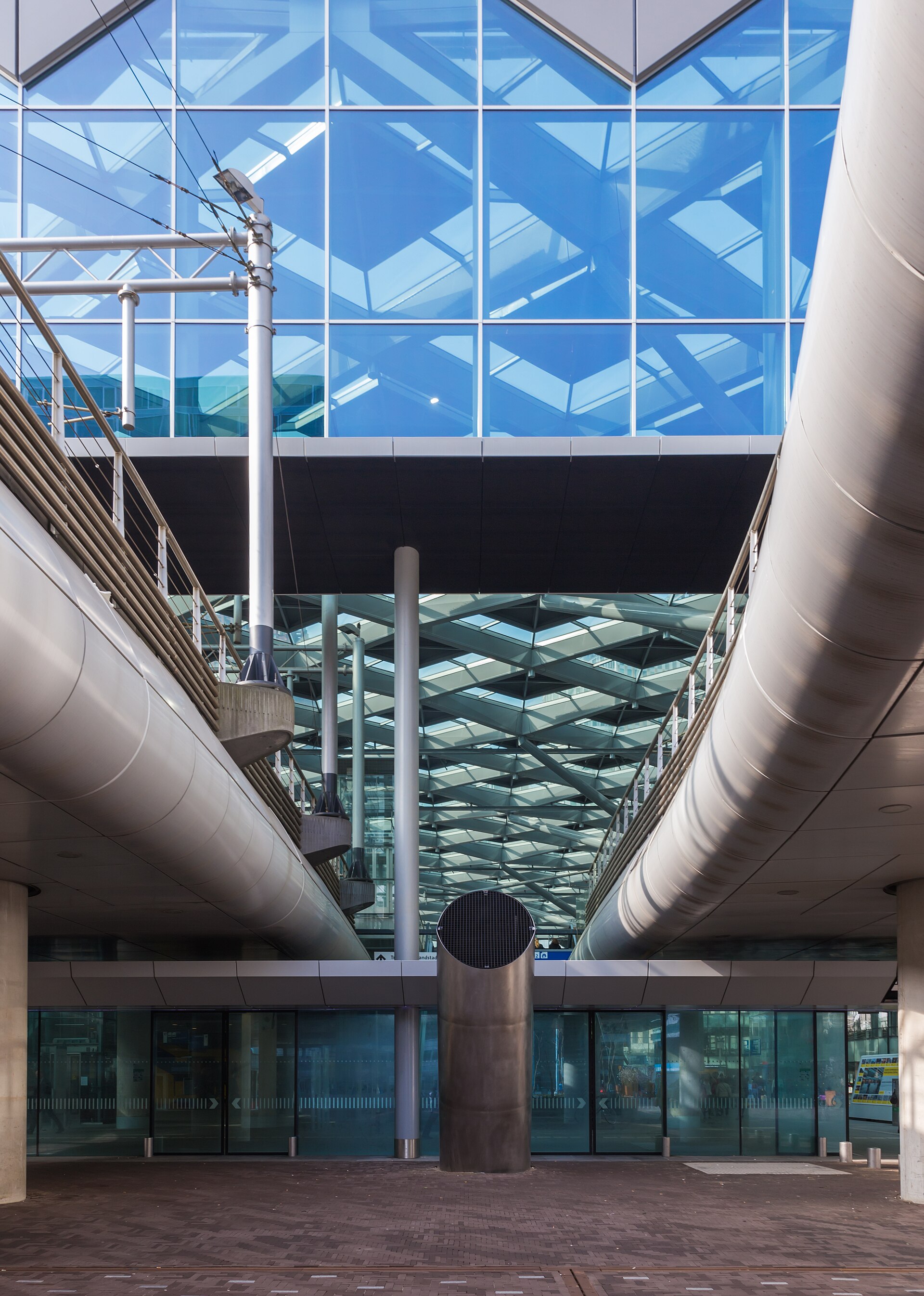
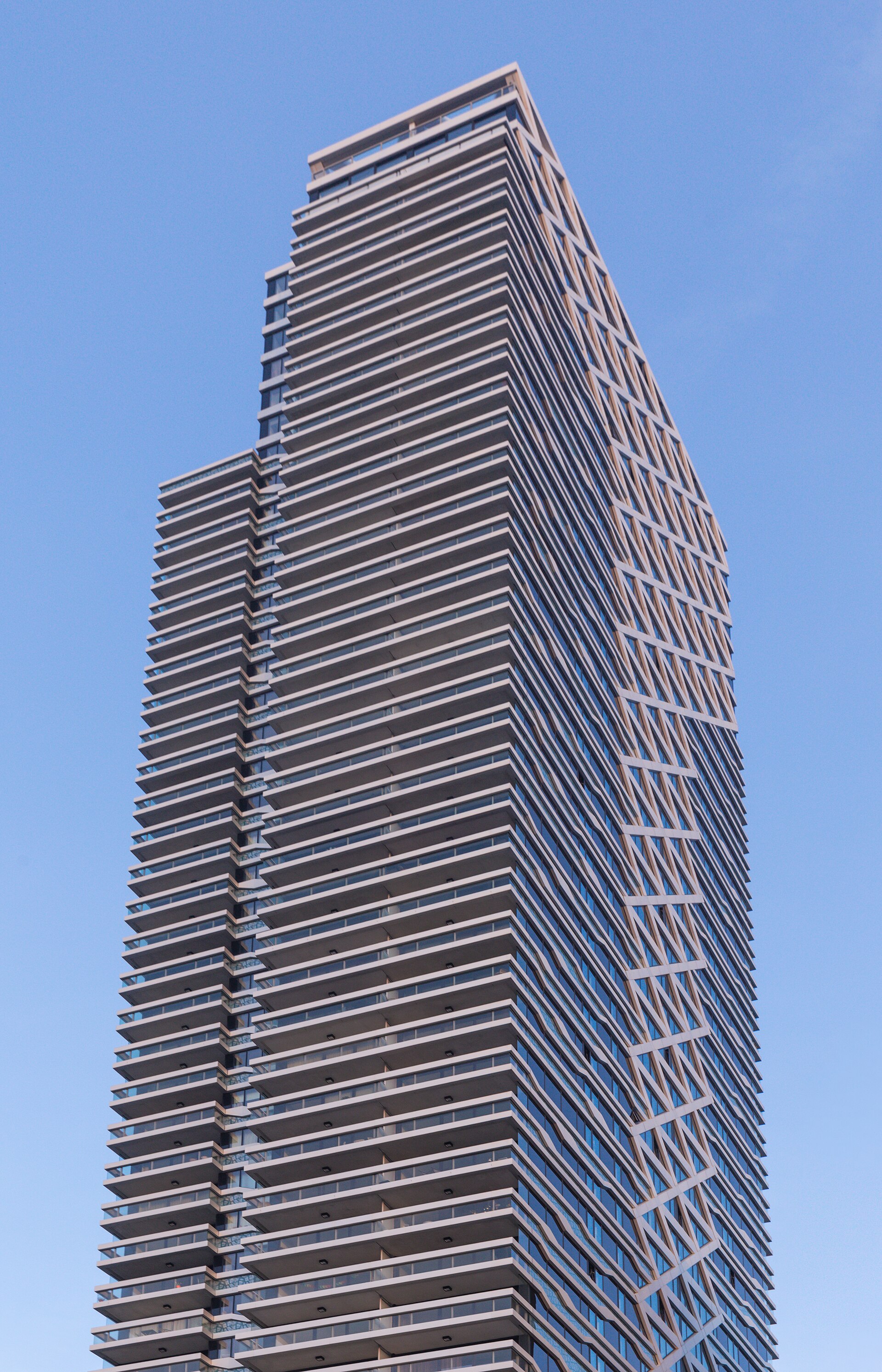
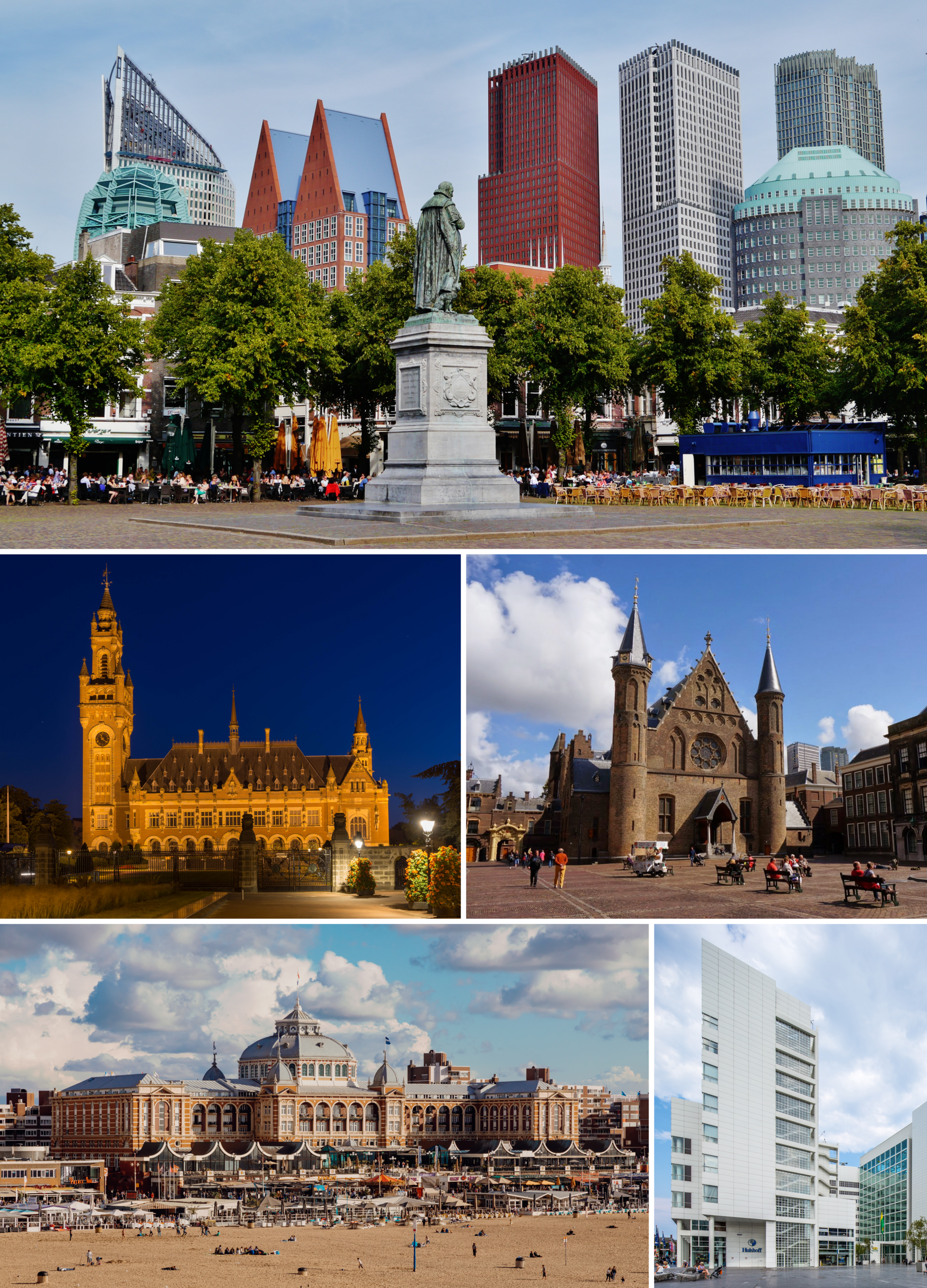
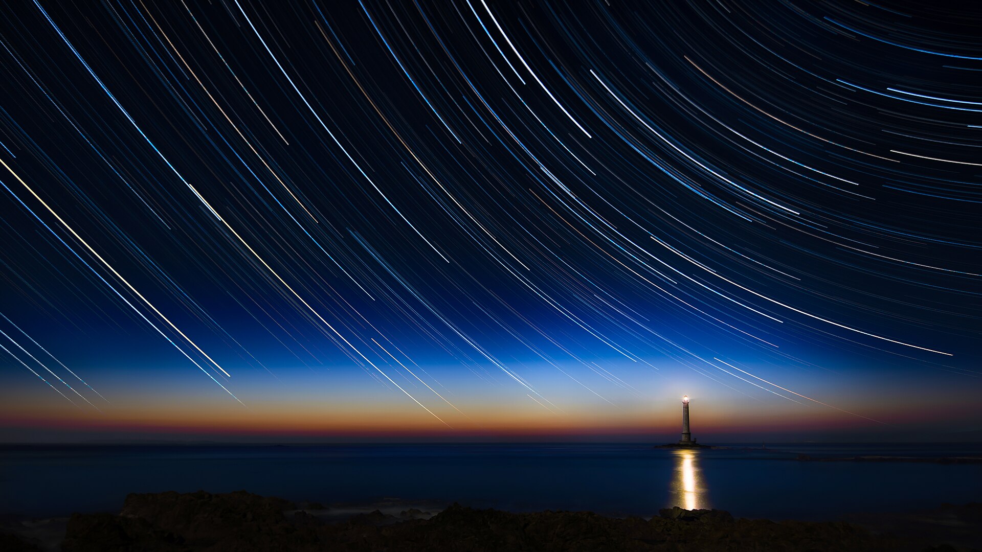
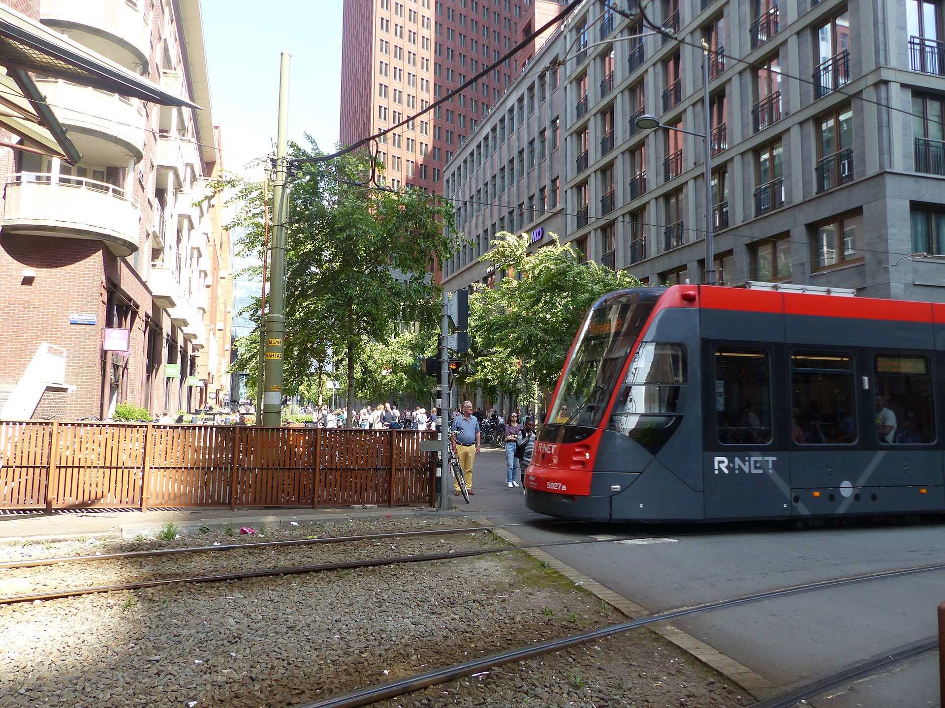
The Hague holds an unusual position in the Netherlands: it is where the Dutch government sits, where international courts weigh questions of war and justice, and where the North Sea coast is close enough that you can smell it on a westerly wind. The city has never quite decided whether it belongs to diplomacy or to the beach, and that tension gives it a particular texture — grand institutional architecture a tram ride from a rebuilt pleasure pier at Scheveningen.
Vermeer's *Girl with a Pearl Earring* hangs here, in the Mauritshuis. The Peace Palace, funded by Andrew Carnegie, has been settling international disputes since 1913. The medieval Binnenhof, currently wrapped in scaffolding until at least 2028, has housed Dutch political life since the 13th century. There is a lot of history per square metre, and almost none of it feels performed.
How The Hague came to be
A count of Holland bought land here around 1229, and his successor Willem II began building the Binnenhof complex on the same spot. By 1290, the Ridderzaal — the Knight's Hall — was complete, its silhouette still recognisable today. The Hague became the seat of the States-General in 1584, cementing a political role it has never relinquished.
The city's international character arrived later. In 1899, twenty-six nations gathered here for the First Hague Peace Conference; the Peace Palace followed in 1913. The Second World War left marks that are easy to miss: a WWII bombardment killed 511 people and levelled much of one district, and the original central railway station was among what was lost.
Who and what shaped it
People who shaped it
Landmark buildings
See The Hague in motion
Plan your visit
On the map
When to go
The North Sea keeps temperatures moderate year-round — cool and grey from November through March, with enough wind to make a coastal walk in February feel genuinely bracing. Summer days are mild rather than hot, and the light in June and July, especially near Scheveningen, can be extraordinary.
Right now
Background & history adapted from Wikipedia (CC BY-SA) · specs from Wikidata (CC0) · weather from Open-Meteo · map data © OpenStreetMap contributors · photos from Wikimedia Commons / Unsplash with per-image credit. No third-party reviews or social posts reproduced.