
Texel
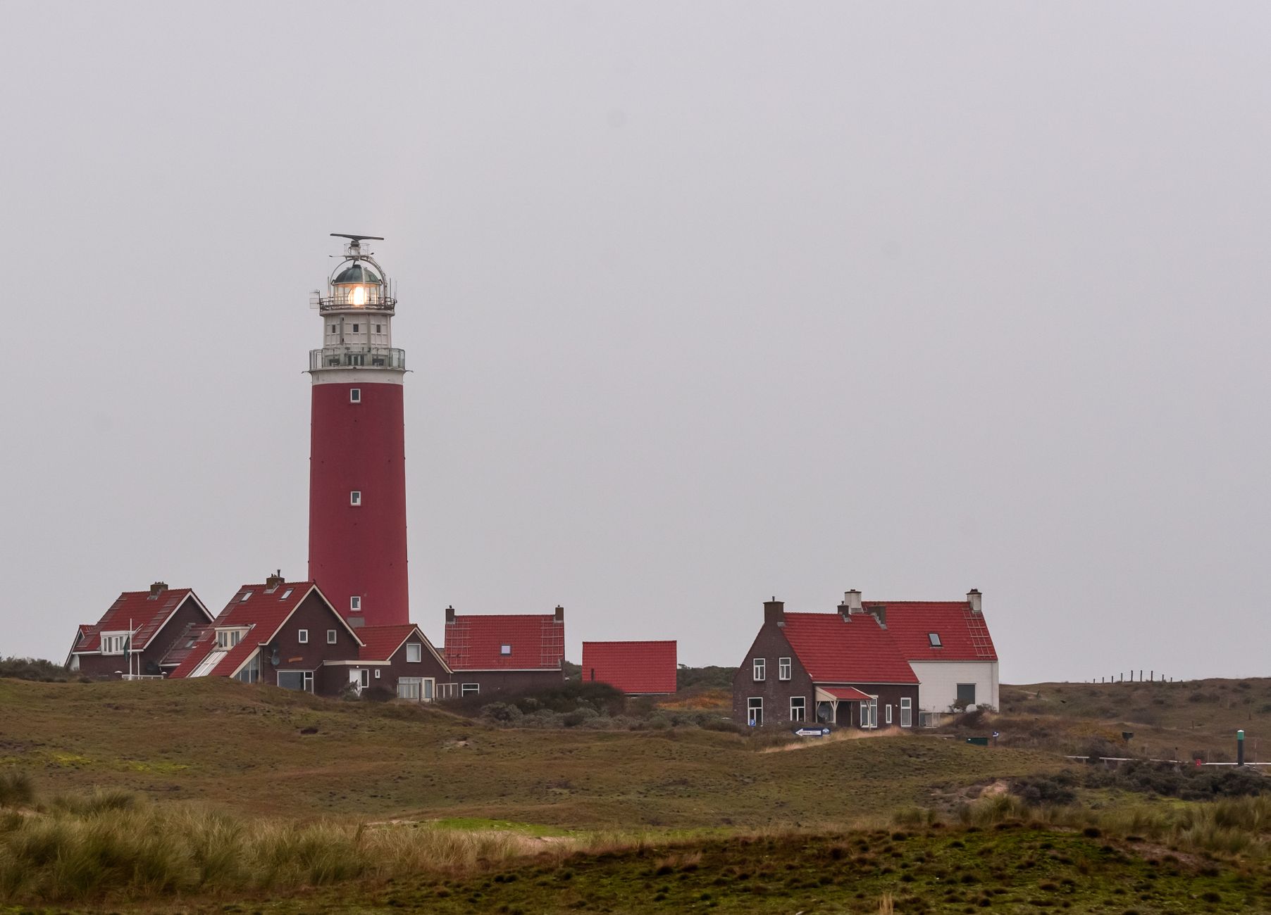
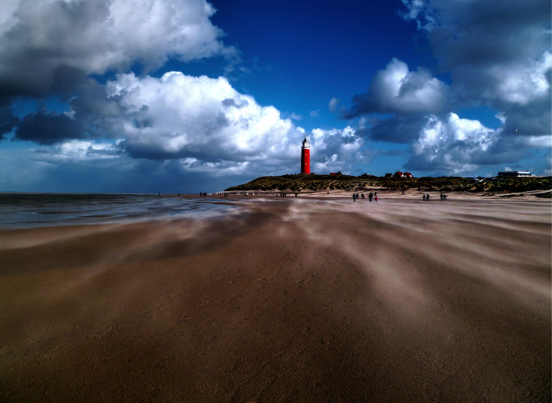
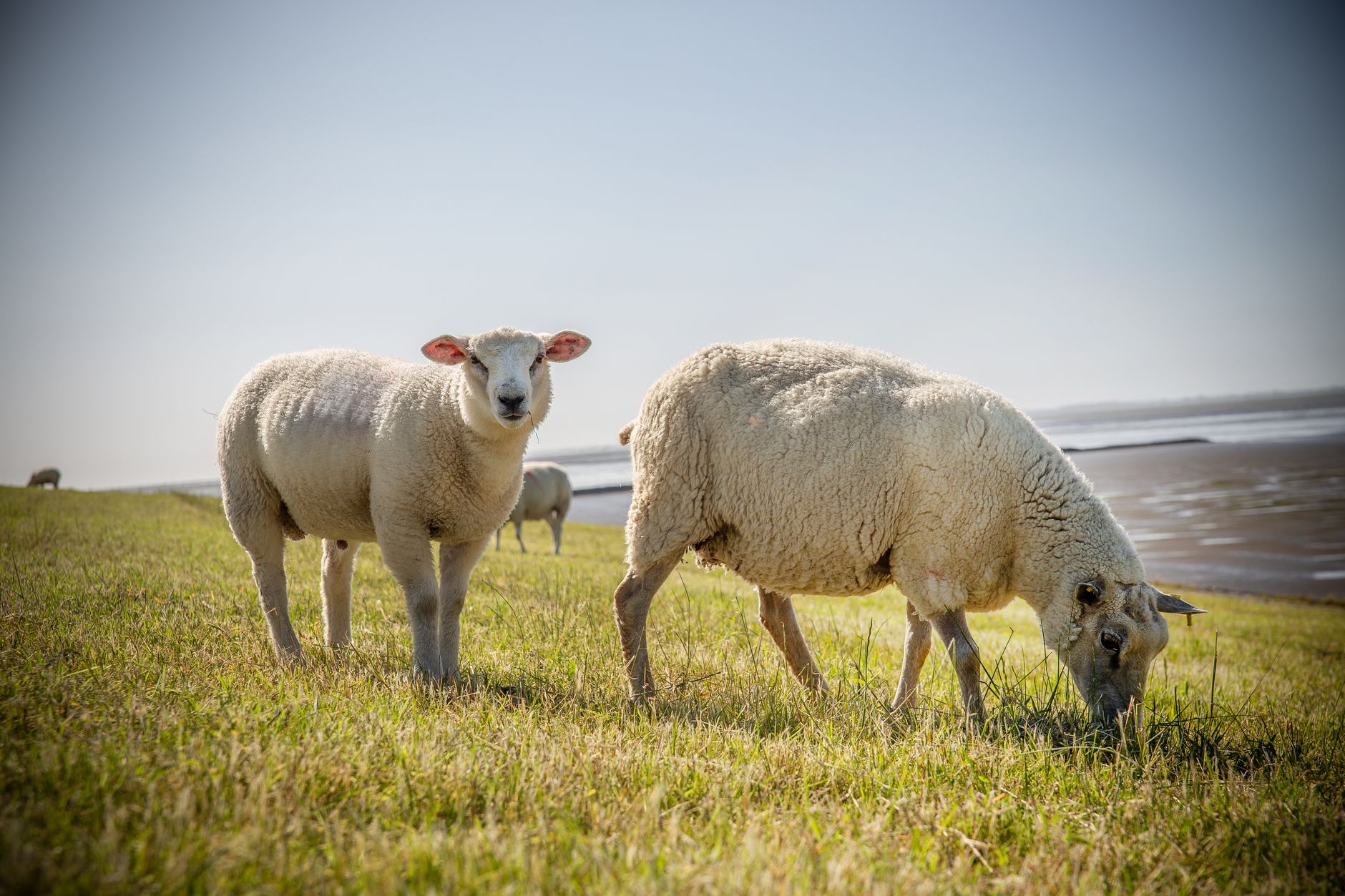
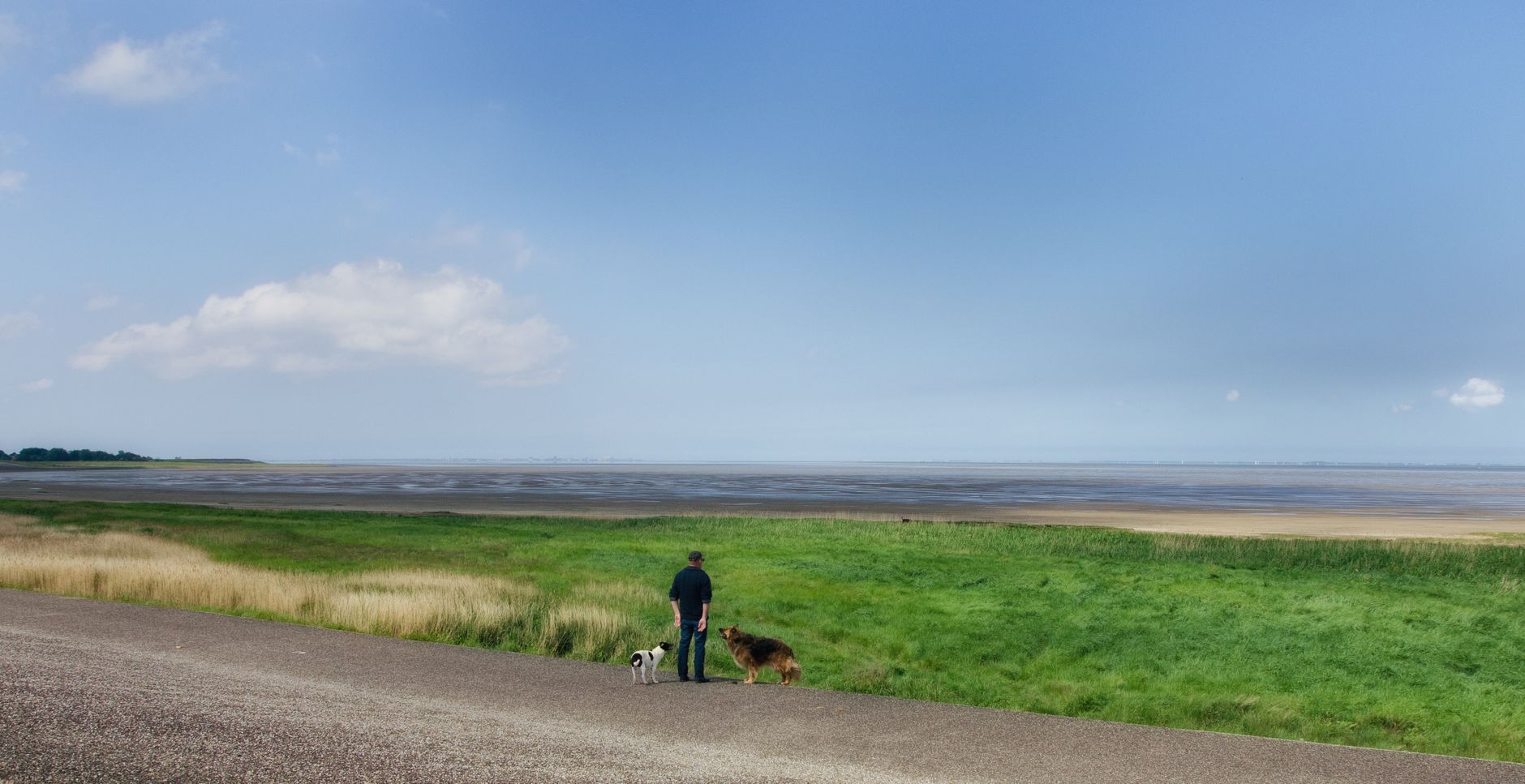
Texel sits at the top of North Holland like a comma at the end of the mainland, separated from Den Helder by a twenty-minute ferry crossing you cannot book in advance — you simply show up. The island runs roughly 25 kilometres north to south, and its western edge is swallowed by dunes that have been a national park since well before that designation became fashionable. Sheep outnumber people here, the North Sea light shifts every hour, and the red lighthouse at Eierland has been marking the northern tip since 1864.
More than a million visitors come each year, yet the island absorbs them. The 140 kilometres of cycle paths spread people thin, and the villages — Den Burg at the centre, Oudeschild on the eastern harbour — stay recognisably themselves.
💛 What travellers fall for
People who come back tend to make the same moves: bikes off the ferry before the cars have cleared, a coffee in Den Burg, then straight out to the dunes before the afternoon wind picks up. They know that the Texelhopper bus needs half an hour's notice via the app, and that midweek ferry fares on Tuesday through Thursday drop to €31 per car.
How Texel came to be
Texel as an island is itself a product of catastrophe. The All Saints' Flood of 1170 tore apart the North Holland coastline, leaving Texel and Wieringen as separate islands from what had been continuous land. Humans had been here far longer — Mesolithic traces date to somewhere between 8000 and 4500 BC — but the medieval flood reset the geography entirely. The island received city rights in 1415, and by the early seventeenth century a dyke joined its parts against further North Sea damage.
In 1594 the first Dutch expedition toward the Northwest Passage departed from Texel's harbour. The island's final historical rupture came in April 1945, when Georgian soldiers conscripted into the German army rose up against their commanders — a battle that lasted until 20 May 1945, weeks after the rest of the Netherlands had been liberated.
Who and what shaped it
People who shaped it
Landmark buildings
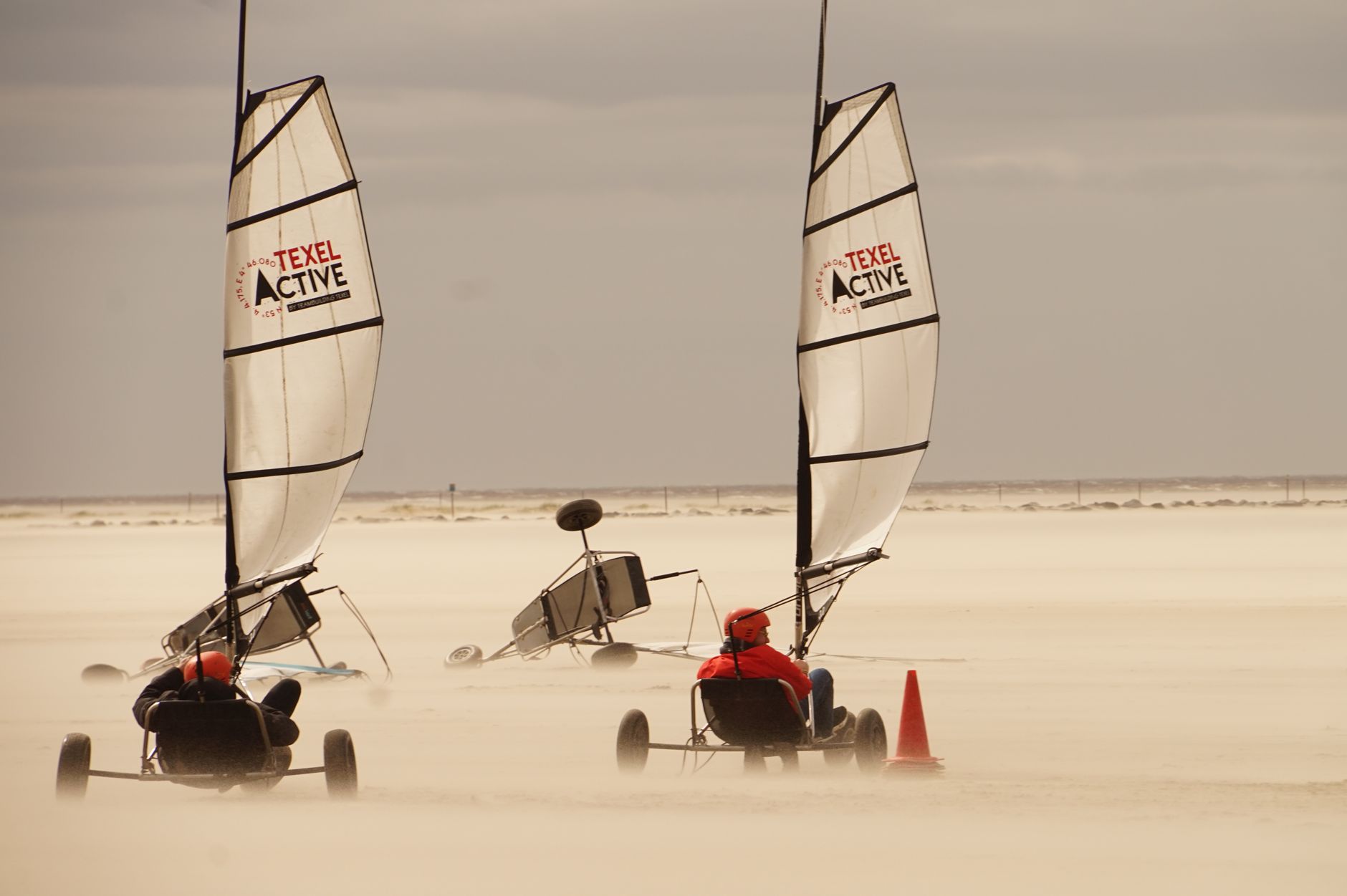
See Texel in motion
Plan your visit
On the map
When to go
Summers are mild and bright, with long evenings good for cycling, though the North Sea wind is a constant companion regardless of season. Winter strips the island back to its essentials — dunes, sky, and very few other visitors — which suits a certain kind of traveller well.
Right now
Background & history adapted from Wikipedia (CC BY-SA) · specs from Wikidata (CC0) · weather from Open-Meteo · map data © OpenStreetMap contributors · photos from Wikimedia Commons / Unsplash with per-image credit. No third-party reviews or social posts reproduced.