
Region

Tenerife

Tenerife
Photo by Thu Trang on Pexels
Tenerife
Photo by Gohar Dalyan on Pexels
Tenerife
Photo by Daria Agafonova on Pexels
Tenerife
Photo by Walter Cunha on Pexels
Tenerife
Photo by Daria Agafonova on Pexels
Tenerife
Photo by Daria Agafonova on Pexels

Tenerife is the largest of the Canary Islands and, at its centre, Mount Teide rises to 3,715 metres — the highest point in Spain, visible from the sea long before you reach shore. The island splits into two distinct climates almost surgically: the north stays green and overcast for much of the year, while the south runs dry and sun-bleached. Between them sits a landscape of laurel forest, volcanic lava fields, banana plantations and colonial towns that repay slow attention.

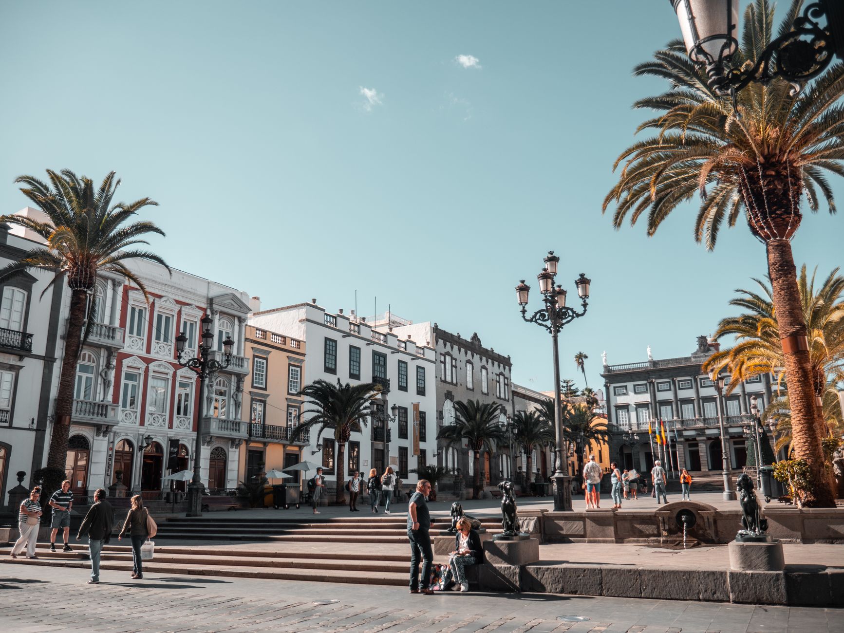
Santa Cruz, the capital since 1723, faces east toward Africa. Up the hill, La Laguna — a UNESCO World Heritage city — preserves the street grid that became a template for urban planning across Spanish America. These two places alone could hold you for days before you've touched the coast.

💛 What travellers fall for

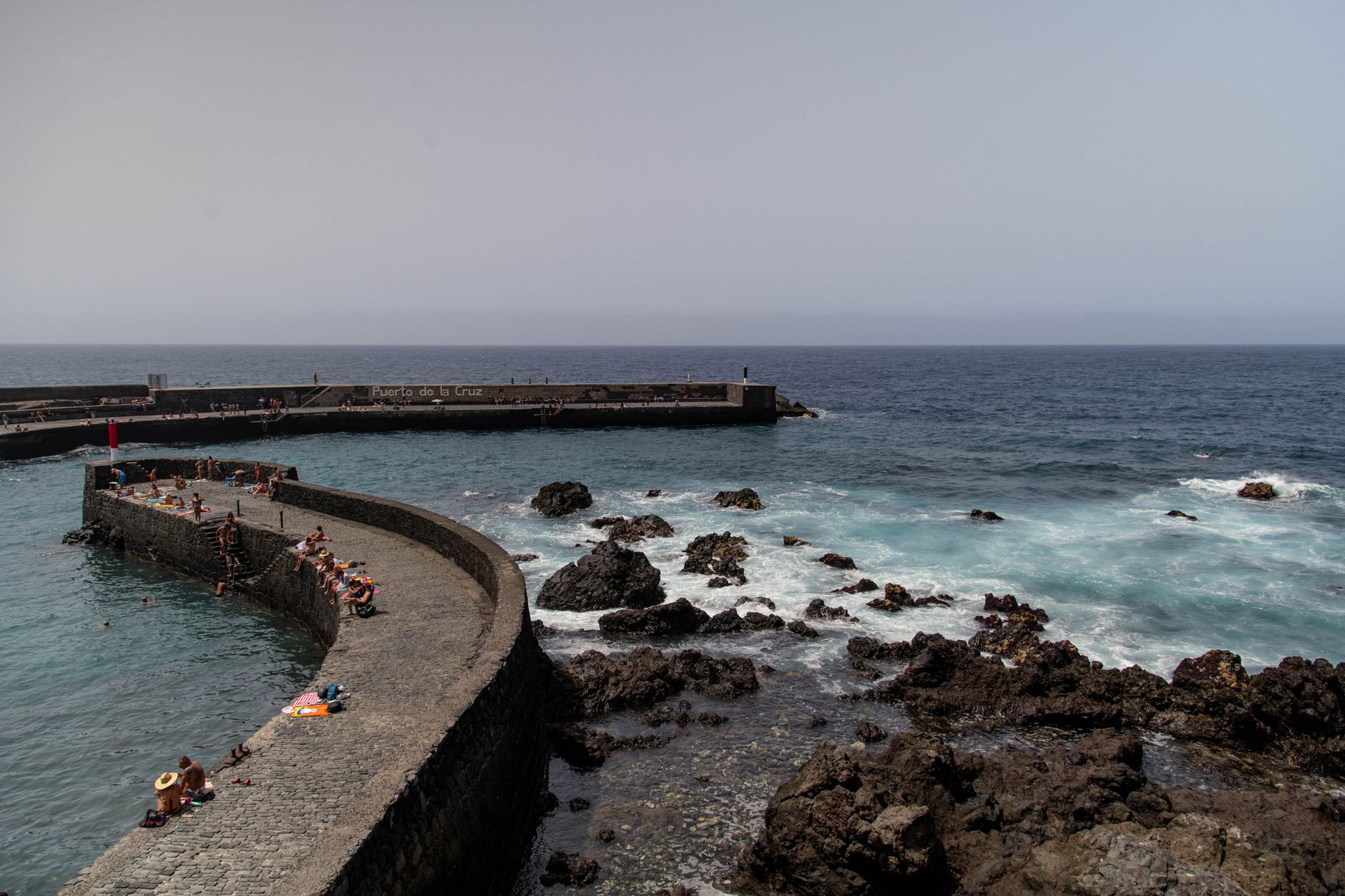
People who return tend to base themselves in the north — Puerto de la Cruz or La Orotava — where the pace is quieter and the architecture rewards walking. Route 102 by guagua between Santa Cruz and Puerto de la Cruz is one of the more scenic bus rides on the island, and costs almost nothing.

Good to know
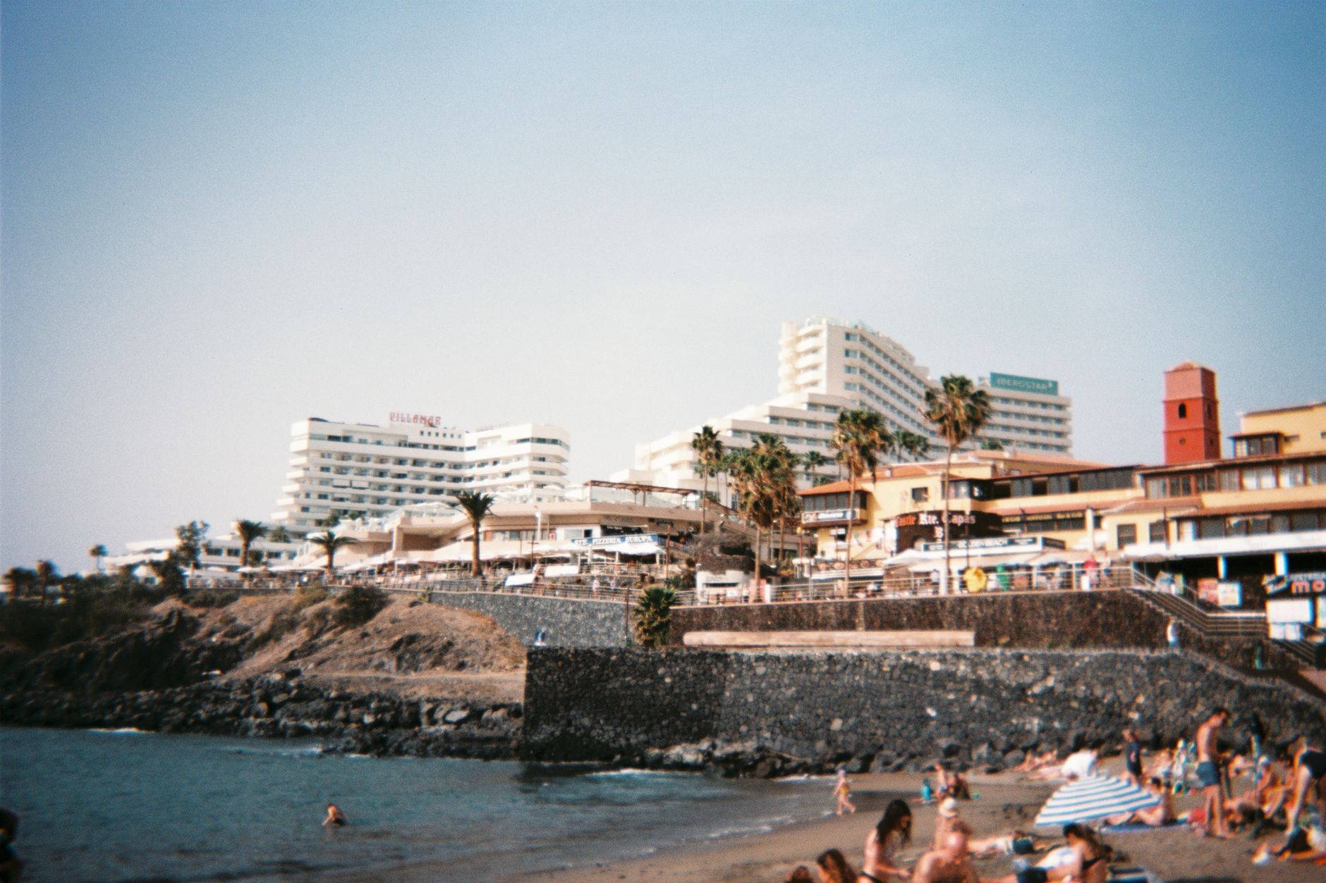
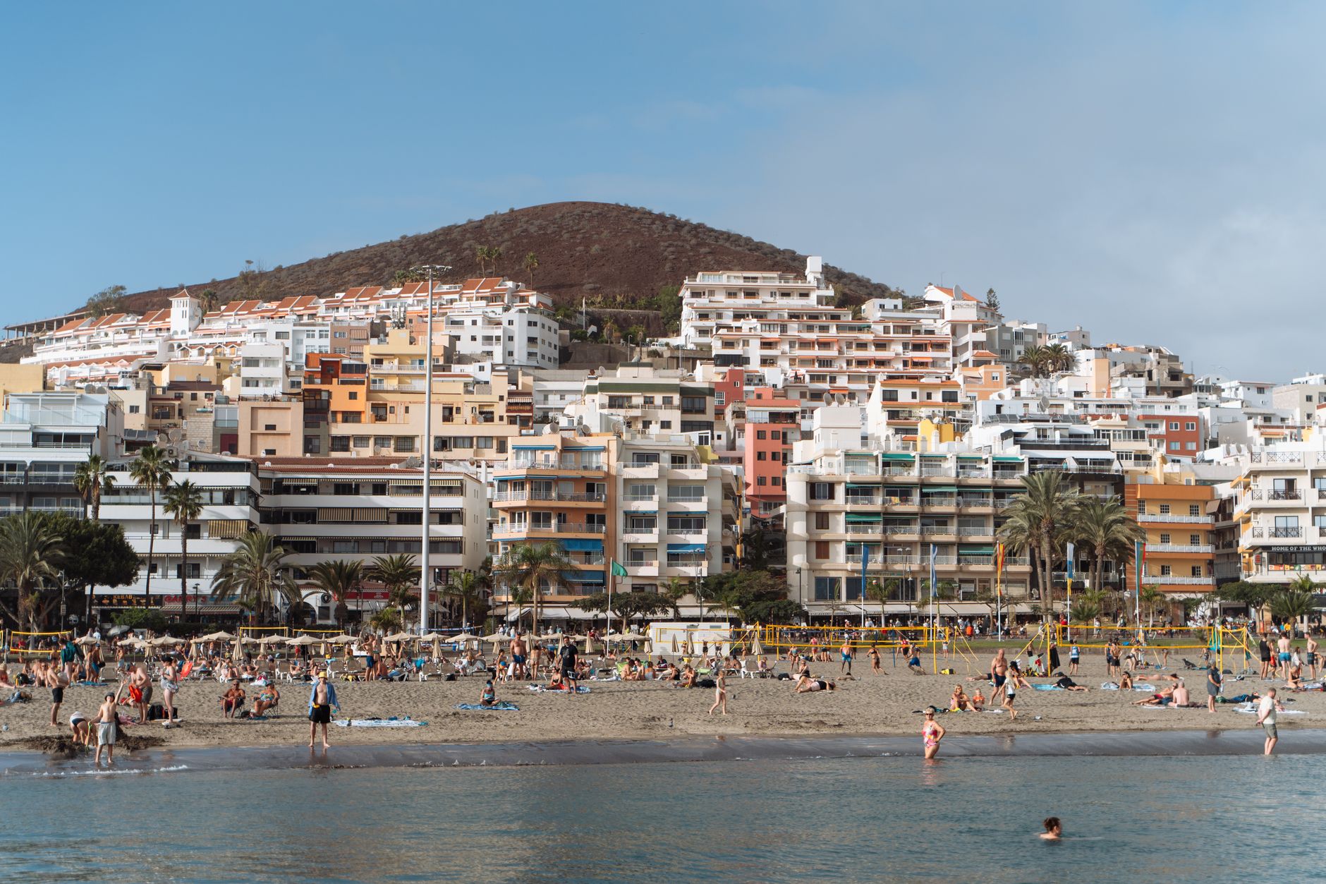
Two airports serve the island: Tenerife South (TFS) for the resort coast, Tenerife North (TFN) for Santa Cruz and beyond. The TITSA bus network reaches nearly everywhere; Route 342 is the only public link to Teide National Park, departing at 09:25 and returning at 15:15 — plan around it.
The story

How Tenerife came to be

The Guanche people had lived on the island for at least two millennia when Castilian forces arrived under Alonso Fernández de Lugo in 1494. The conquest was neither swift nor clean — the Guanche mencey Bencomo led a combined force that inflicted heavy losses on the Spanish at the First Battle of Acentejo, one of the few indigenous victories against the conquistadors in the Atlantic campaign. Full Spanish control came only in July 1496, two years after Lugo planted the silver cross that gave Santa Cruz its name.

The cross is still there, kept inside the Iglesia de Nuestra Señora de la Concepción. The island went on to become a stopping point for trade routes to the Americas, a role that left it with fortified harbours, colonial architecture and an economy shaped by sugar, wine and, eventually, tourism.

People & landmarks

Who and what shaped it

People who shaped it

Alonso Fernández de Lugo
Conquistador who landed 3 May 1494 and planted the silver Holy Cross from which Santa Cruz took its name.
Bencomo
Guanche mencey who commanded indigenous forces at the First Battle of Acentejo, inflicting heavy losses on Spanish conquistadors.
Santiago Calatrava
Architect who designed the Auditorio de Tenerife, completed 2003, an architectural symbol of the Canary Islands.
Luis de la Cruz y Ríos (El Canario)
Artist whose works appear in the Church of Nuestra Señora de la Peña de Francia in Puerto de la Cruz; later became court painter to King Ferdinand VII.
Óscar Domínguez
Surrealist painter born in Tenerife.

Landmark buildings

Iglesia de Nuestra Señora de la Concepción
Keeps the silver Holy Cross planted by Alonso Fernández de Lugo in 1494; blends Baroque and Tuscan styles with five naves and minaret-like bell tower.
Auditorio de Tenerife
Designed by Santiago Calatrava and completed 2003; architectural symbol of the Canary Islands.
Casa de los Balcones
17th-century Canarian colonial house in La Orotava known for carved wooden balconies; houses museum of local crafts and historical artifacts.
San Cristóbal de La Laguna
UNESCO World Heritage Site designated 1999; preserves one of the Canary Islands' most significant historic urban landscapes and served as template for Spanish American city planning.
Castle of San Juan Bautista
Best-preserved fortress on the island, built first half 17th century near Santa Cruz to prevent landings; rebuilt after wave damage.
San Miguel Fortress
Built 16th century in Garachico to protect the island's main commercial harbor; survived the volcanic eruption of 1706.
Basilica of Candelaria
Houses the image of the Virgin of Candelaria, patron saint of the Canary Islands.
Guimera Theatre
Oldest theater in the Canary Islands with neoclassical design; inaugurated 19th century; hosts theatrical plays, ballets, orchestras, and congresses.
Teide National Park
UNESCO World Heritage Site centered on Mount Teide, Spain's highest peak at 3,715 metres.
Pyramid of Arona
Triangular structure in Playa de las Américas designed by architect Santiago Amon; popular venue for events and spectacles.
Practical

Plan your visit

On the map

When to go

The south is warm and dry year-round, with summer temperatures regularly above 30°C; the north and the highlands around Teide can be cool, cloudy and occasionally cold in winter. Spring and autumn offer the most comfortable conditions for moving between the two sides of the island.

Right now

☀️
15°C
Clear
Fri
24°
15°
Sat
23°
14°
Sun
🌦️
24°
14°
Mon
🌧️
22°
14°
Weather data: Open-Meteo

Background & history adapted from Wikipedia (CC BY-SA) · specs from Wikidata (CC0) · weather from Open-Meteo · map data © OpenStreetMap contributors · photos from Wikimedia Commons / Unsplash with per-image credit. No third-party reviews or social posts reproduced.

Top