
Tarangire National Park
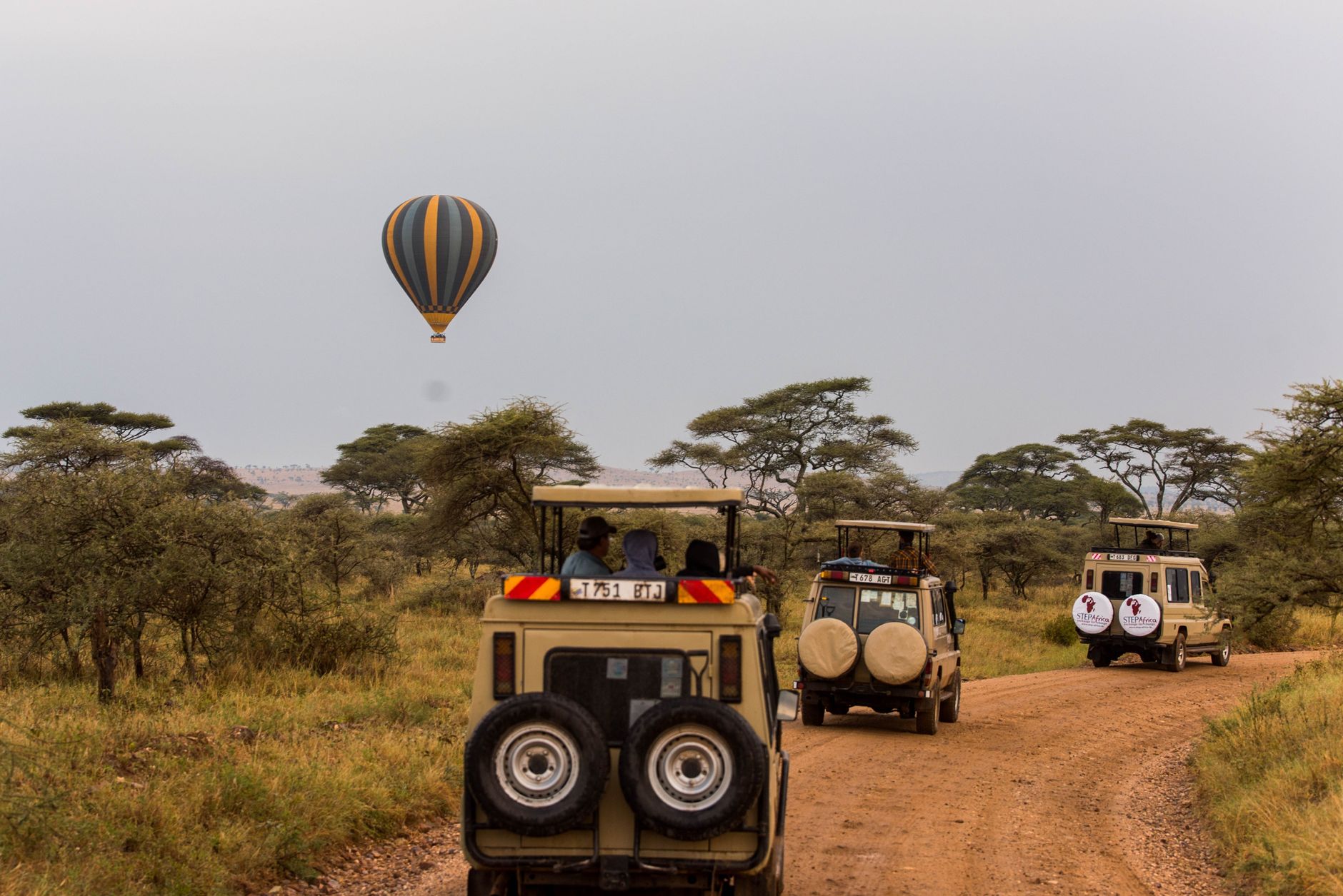
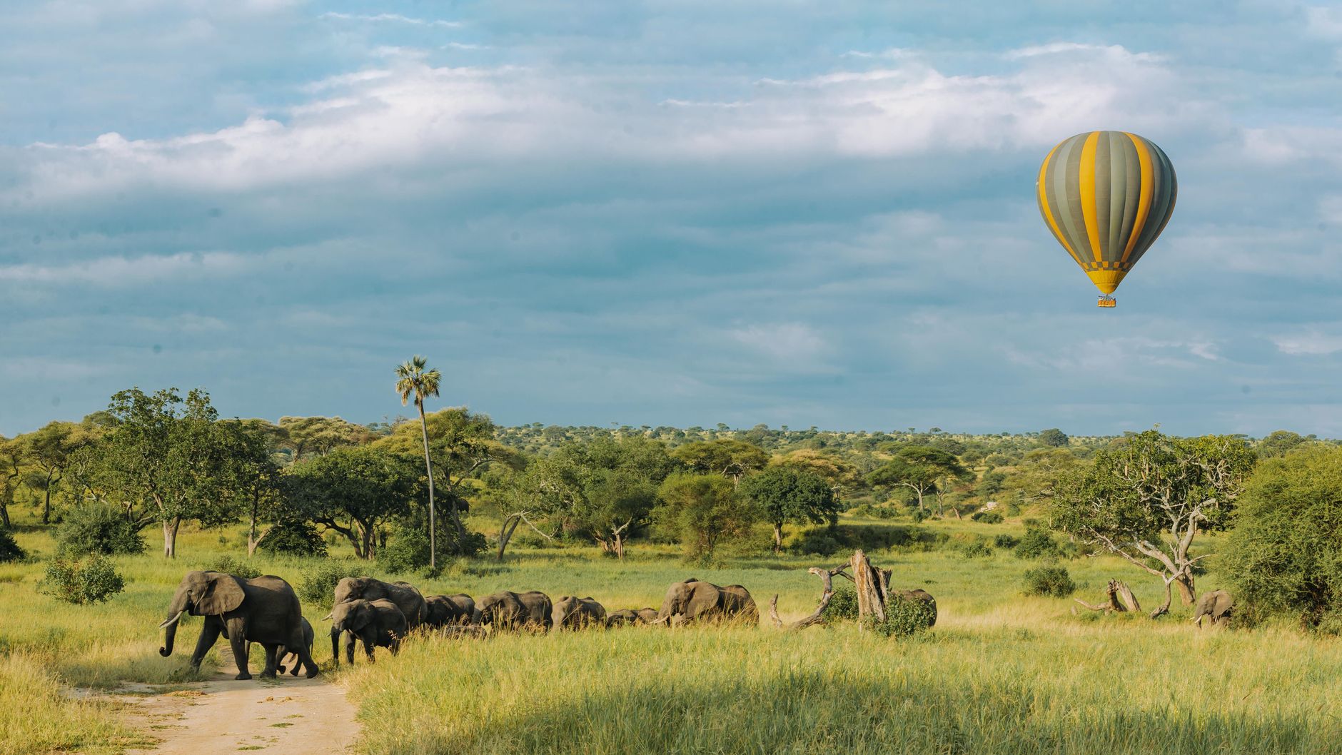
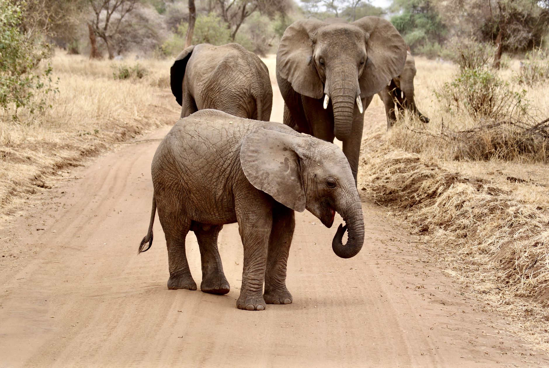
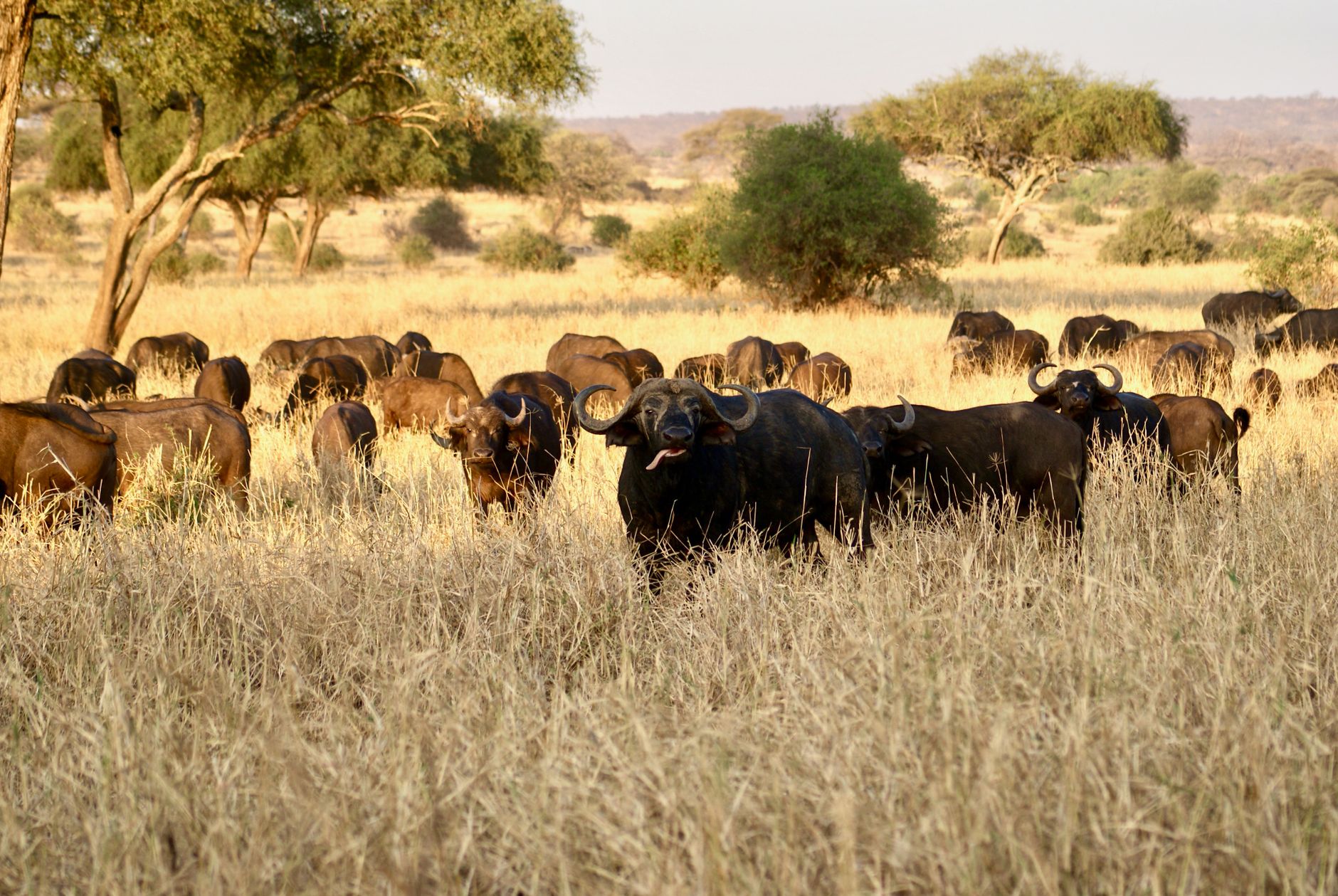
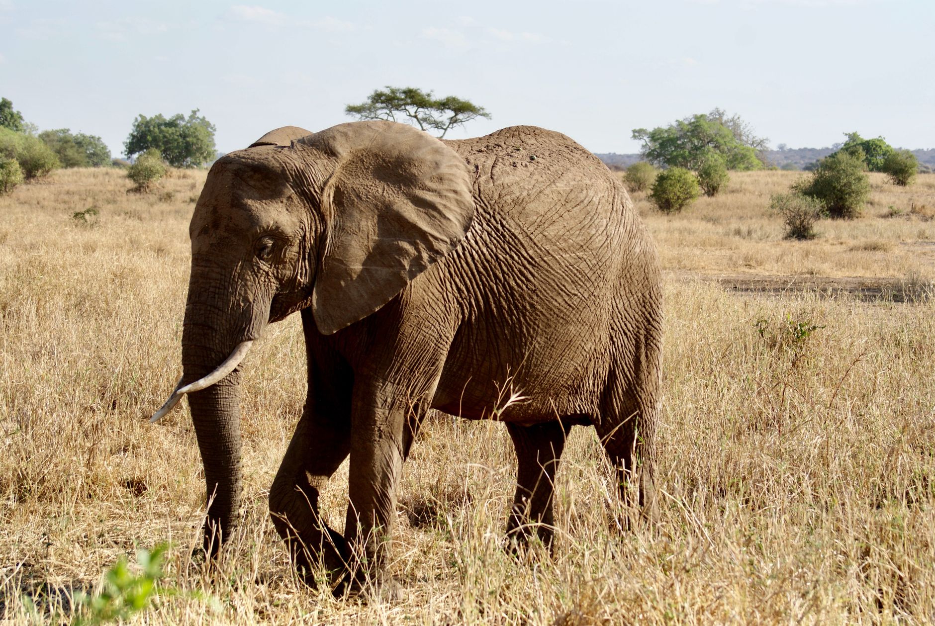
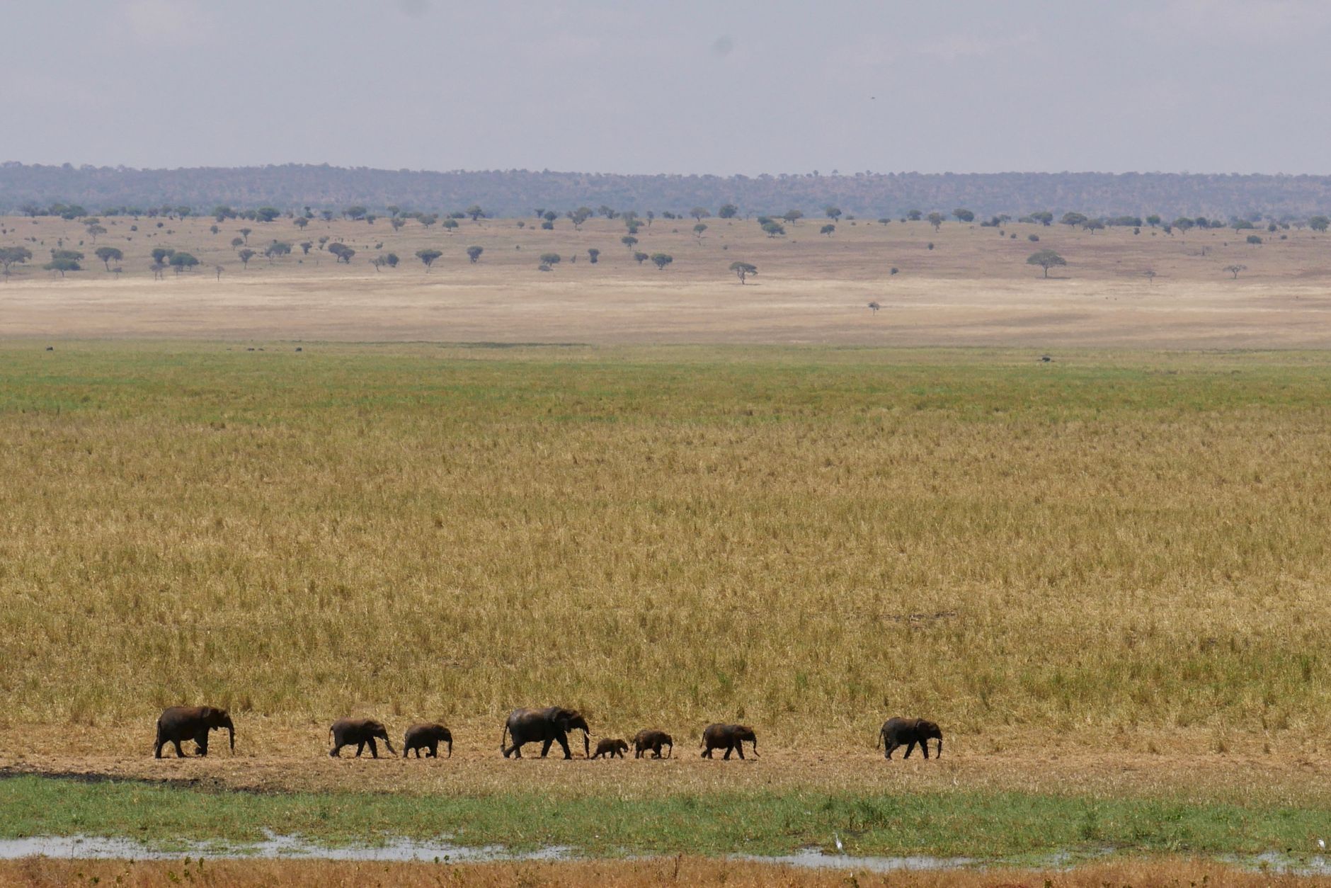
The first thing you notice in Tarangire is the trees. Baobabs rise from the red-dust ground with trunks so wide that ten people linking hands might barely circle one — some of them standing here for six centuries, storing hundreds of litres of water in their swollen cores. The Tarangire River threads through the park's 2,850 square kilometres, and in the dry months every animal in the ecosystem follows it.
Tanzania has more famous parks, but Tarangire rewards the curious traveller with something rarer than spectacle: density and quiet in the same place. Elephants move through in numbers that make you recalibrate your sense of scale. The Lemiyon Triangle in the north holds some of the most striking baobab-studded savanna in East Africa, and the park sees a fraction of the crowds that gather further north.
How Tarangire National Park came to be
The land that became Tarangire was set aside as a wildlife reserve in 1951, during the final years of British colonial administration in Tanganyika. On 30 October 1970, nine years after Tanzanian independence, it was formally gazetted as a national park and placed under the Tanzania National Parks Authority. The name comes from the river that cuts through it — tarangire in the local tongue.
The Maasai have grazed cattle across this landscape for centuries and retain a deep cultural relationship with the land that predates any formal designation. In 2005, a Lion Conservation Unit was established here, acknowledging the park's role in sustaining one of the region's more viable lion populations. One of the stranger historical footnotes lives inside a baobab near the river: the Poacher's Hide, a tree with a ten-metre girth and an internal cavern reached by a stick ladder, used as a watchpost by poachers until park staff discovered it in 1995.
Who and what shaped it
Landmark buildings
See Tarangire National Park in motion
Plan your visit
On the map
When to go
June through October is the dry season — skies stay clear, temperatures sit around 24°C in the cooler months and climb to 28°C by September, and the shrinking river draws enormous concentrations of wildlife into view. The wet season runs November through May, bringing green landscapes and fewer visitors, though some tracks become difficult after heavy rain.
Right now
Background & history adapted from Wikipedia (CC BY-SA) · specs from Wikidata (CC0) · weather from Open-Meteo · map data © OpenStreetMap contributors · photos from Wikimedia Commons / Unsplash with per-image credit. No third-party reviews or social posts reproduced.