
Tanna
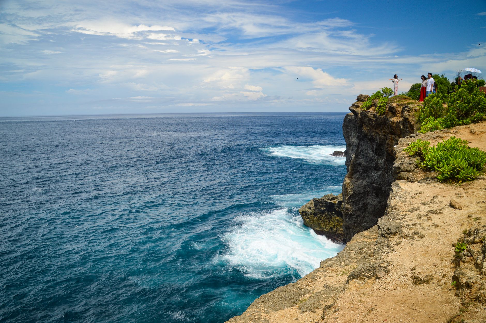

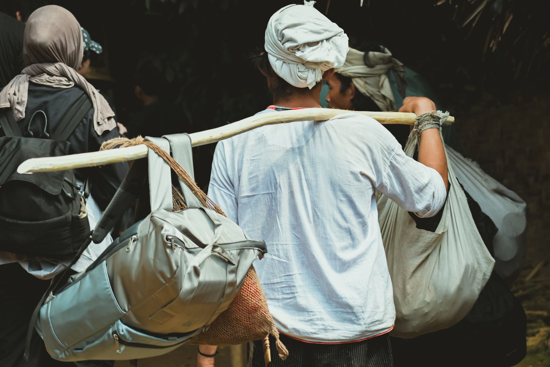
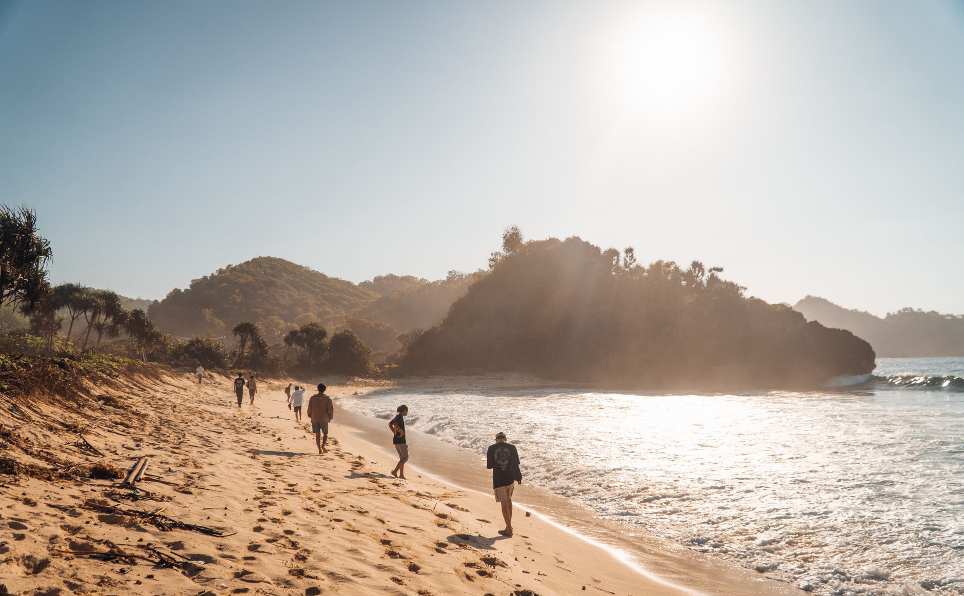
Tanna is named after the earth itself — "tana" in Kwamera, the local tongue — and that feels right. The island's most defining feature is a volcano, Mount Yasur, which has been erupting almost continuously since at least the 18th century, close enough to the coast that you can watch it from Port Résolution's white sand. But Tanna is not only a geological spectacle. It is also an island where the John Frum cargo cult remains a living faith, where villages in the central mountains keep a fully traditional Kastom life, and where a single banyan tree spreads more than a hundred metres wide — already ancient when Cook arrived in 1774.
Most visitors come for Yasur and leave having understood that the volcano is almost the least remarkable thing here.
💛 What travellers fall for
People who come back tend to say the same thing: spend an evening at Yasur, yes, but give a morning to Yakel village, and arrange it through your accommodation host rather than at the gate — the conversation you have with a local guide changes what you see. The kava at the nakamal after dark is another matter entirely.
Deals in Tanna
Book directly at the provider


How Tanna came to be
James Cook landed here in 1774 and gave the island the name Europeans would use, drawn from the Kwamera word for earth. Within decades, whalers and sandalwood traders had followed — merchant Peter Dillon put into Port Résolution in 1825 — and Presbyterian missionaries arrived through the 19th century. The labour trade was brutal: between the 1860s and 1900, recruiters shipped more than 5,000 Tannese men to Queensland and Fiji plantations. In 1906 Britain and France established joint colonial rule, an arrangement that produced two parallel administrative headquarters on the same small island — the French at Lenakel, the British at White Sands.
Tanna pushed back. On 24 March 1974, islanders proclaimed the Nation of Tanna; Anglo-French authorities suppressed it by June. On 1 January 1980 a second declaration, the Tafea Nation, met British military intervention. Vanuatu independence came on 30 July 1980.
Who and what shaped it
People who shaped it
Landmark buildings
See Tanna in motion
Plan your visit
On the map
When to go
Temperatures sit between 24°C and 29°C year-round, with the dry season running May through October — cooler, less rain, better roads to Yasur. March brings the heaviest rainfall and January–February the highest cyclone risk, so the southern-hemisphere winter is the window most worth planning around.
Right now
Background & history adapted from Wikipedia (CC BY-SA) · specs from Wikidata (CC0) · weather from Open-Meteo · map data © OpenStreetMap contributors · photos from Wikimedia Commons / Unsplash with per-image credit. No third-party reviews or social posts reproduced.