
Tabuk Region
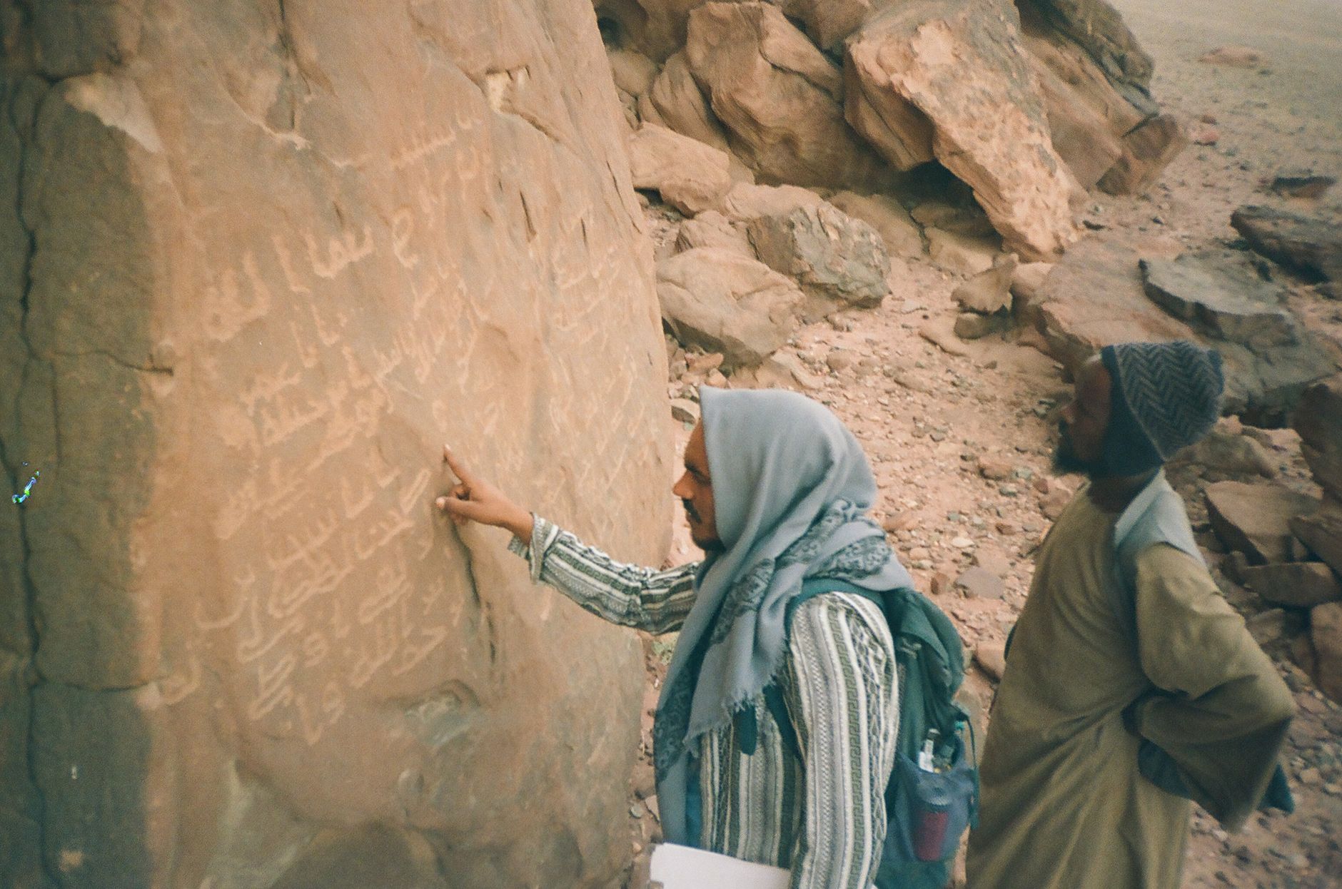
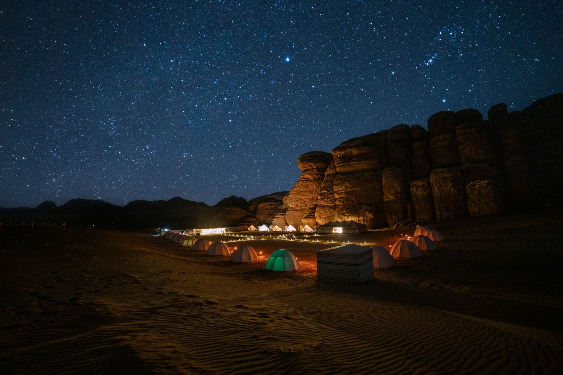
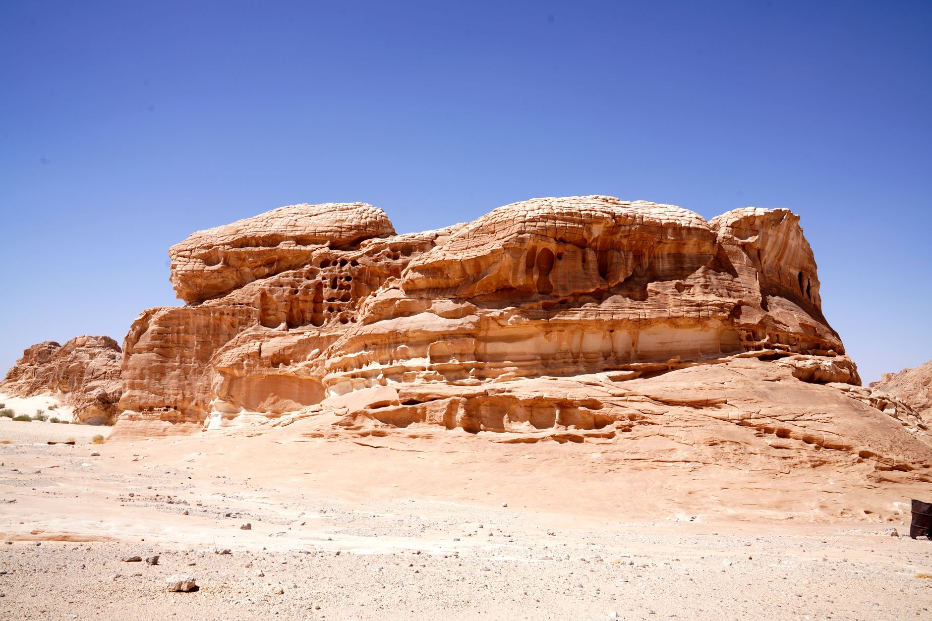
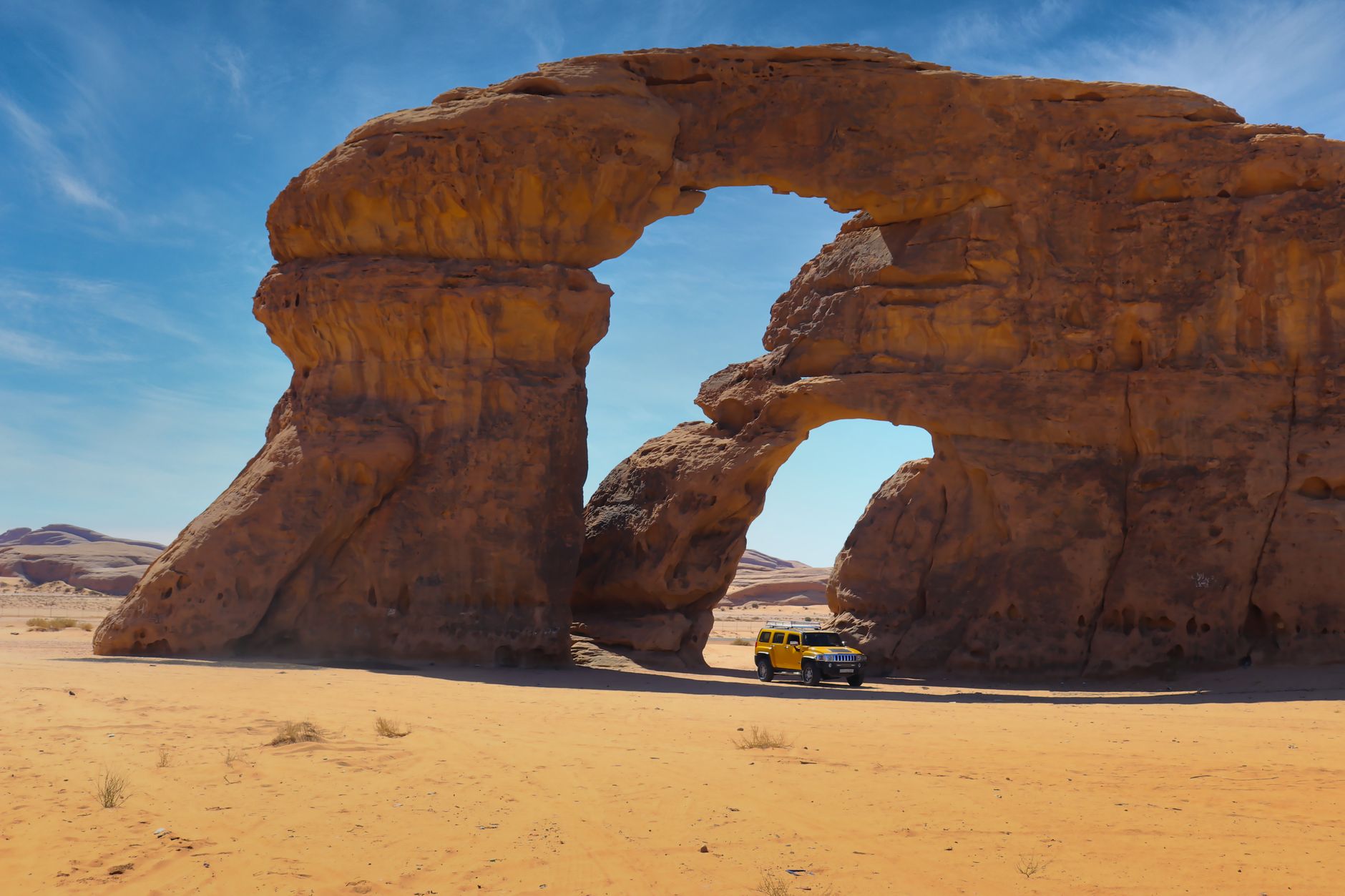
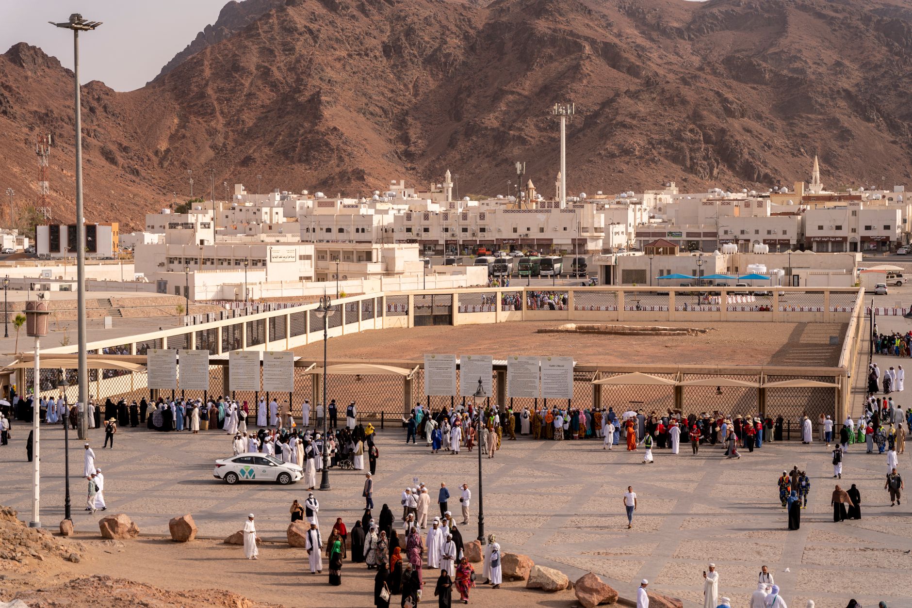
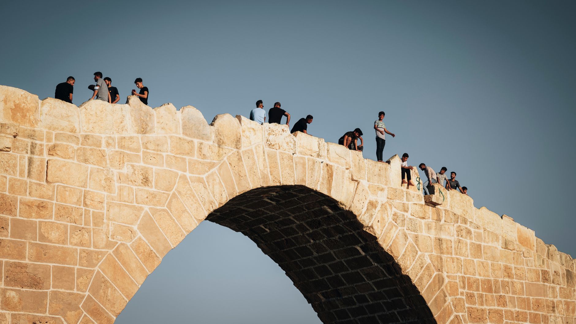
Tabuk sits where the Hejaz Railway once ran pilgrims and cargo south toward Medina, and where an ancient spring called Ain Sukkrah still surfaces in the desert — the same water the Prophet Muhammad drank from during his 630 AD expedition through this territory. The region is Saudi Arabia's northwest corner: Red Sea coastline to the west, the sandstone columns of the Hisma Desert inland, and the Jordanian border at Haql, a short drive from Aqaba.
This is a region of layers — Ottoman fortresses, pre-Islamic rock inscriptions, a dormant railway, and now the scaffolding of NEOM rising along the coast. The city of Tabuk is the administrative hub, but the province itself stretches wide, and its archaeology runs deep.
How Tabuk Region came to be
The name Tabuk traces back to around 500 BC, when the settlement — then called Tabu — served as one of two capitals of the Lihyanite Kingdom alongside Al-Ula. In 630 AD, the Prophet Muhammad led an expedition here; the region's tribes joined the early Muslim state without battle, and a mosque was later established on the site where he camped. The Ottoman Empire built Tabuk Fortress in 1559 to shelter Hajj pilgrims moving between Damascus and Mecca.
The Hejaz Railway arrived between 1900 and 1908, threading Tabuk into a line that ran from Damascus to Medina. It fell silent after World War I and the Arab Revolt, but the station survives — restored and reopened as a heritage site in 2019, its artifacts spanning the railway's brief, consequential life.
Who and what shaped it
People who shaped it
Landmark buildings
See Tabuk Region in motion
Plan your visit
On the map
When to go
Summers (roughly May through September) are intense — dry heat that discourages long days outdoors. The cooler months from October through March are far more comfortable for moving around the region, and the Hisma Desert in particular earns its visit in winter light.
Right now
Background & history adapted from Wikipedia (CC BY-SA) · specs from Wikidata (CC0) · weather from Open-Meteo · map data © OpenStreetMap contributors · photos from Wikimedia Commons / Unsplash with per-image credit. No third-party reviews or social posts reproduced.