
Suwon
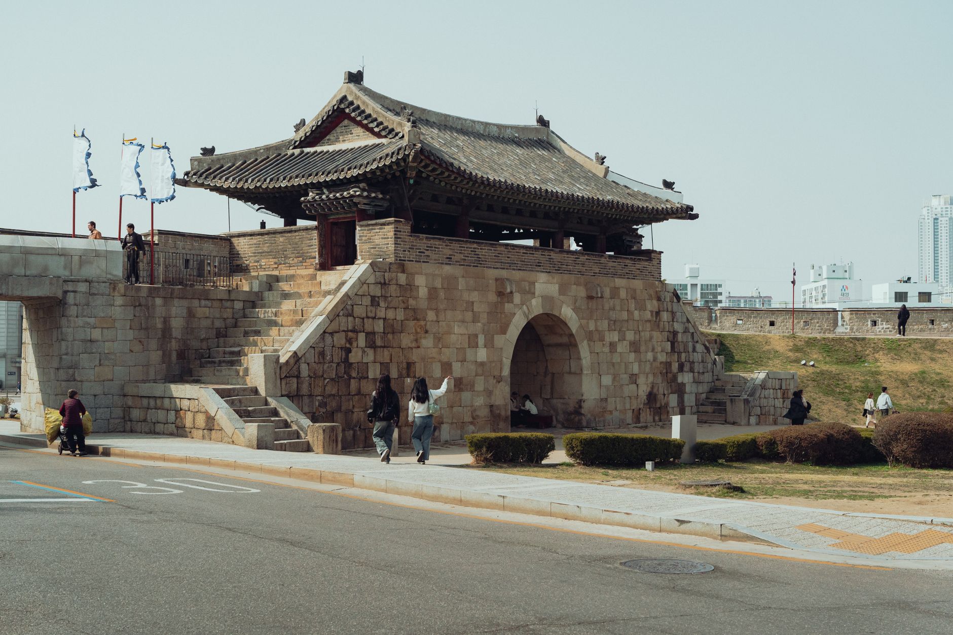
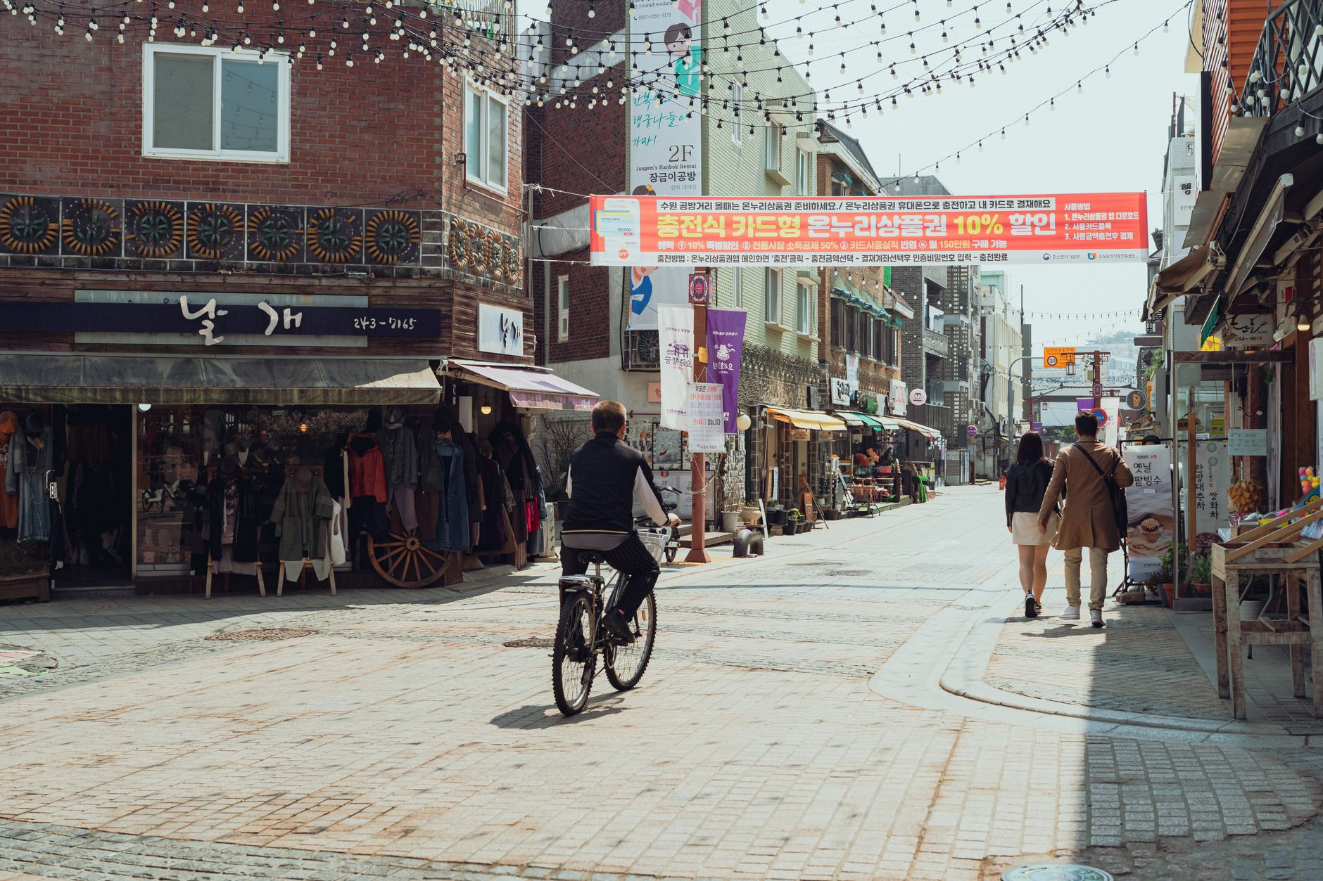
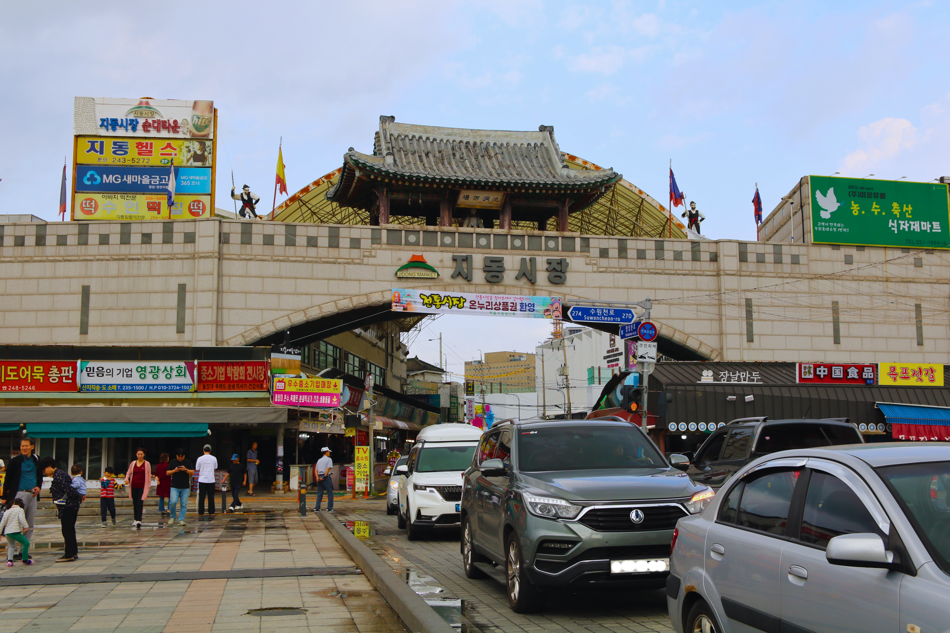
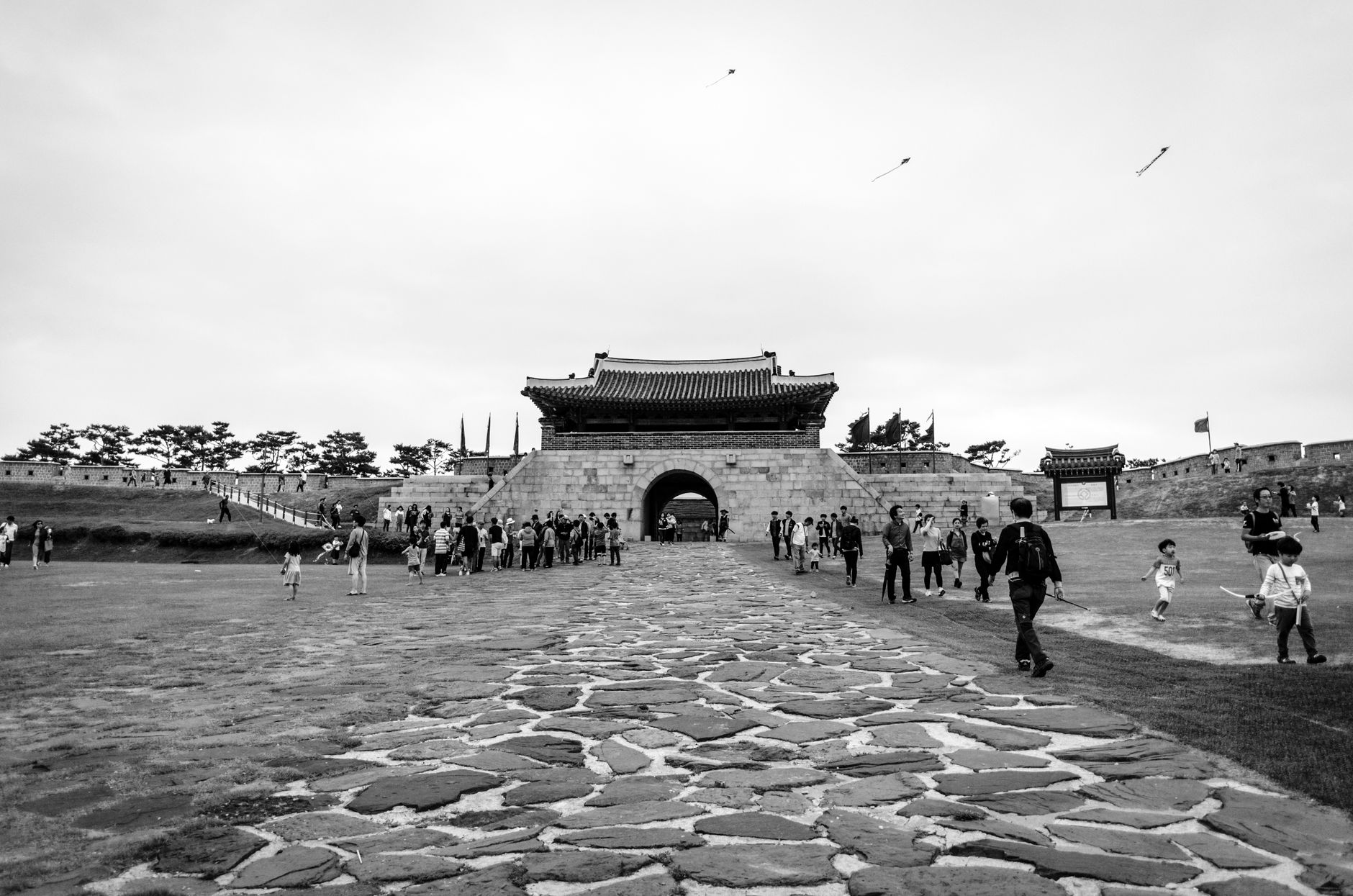
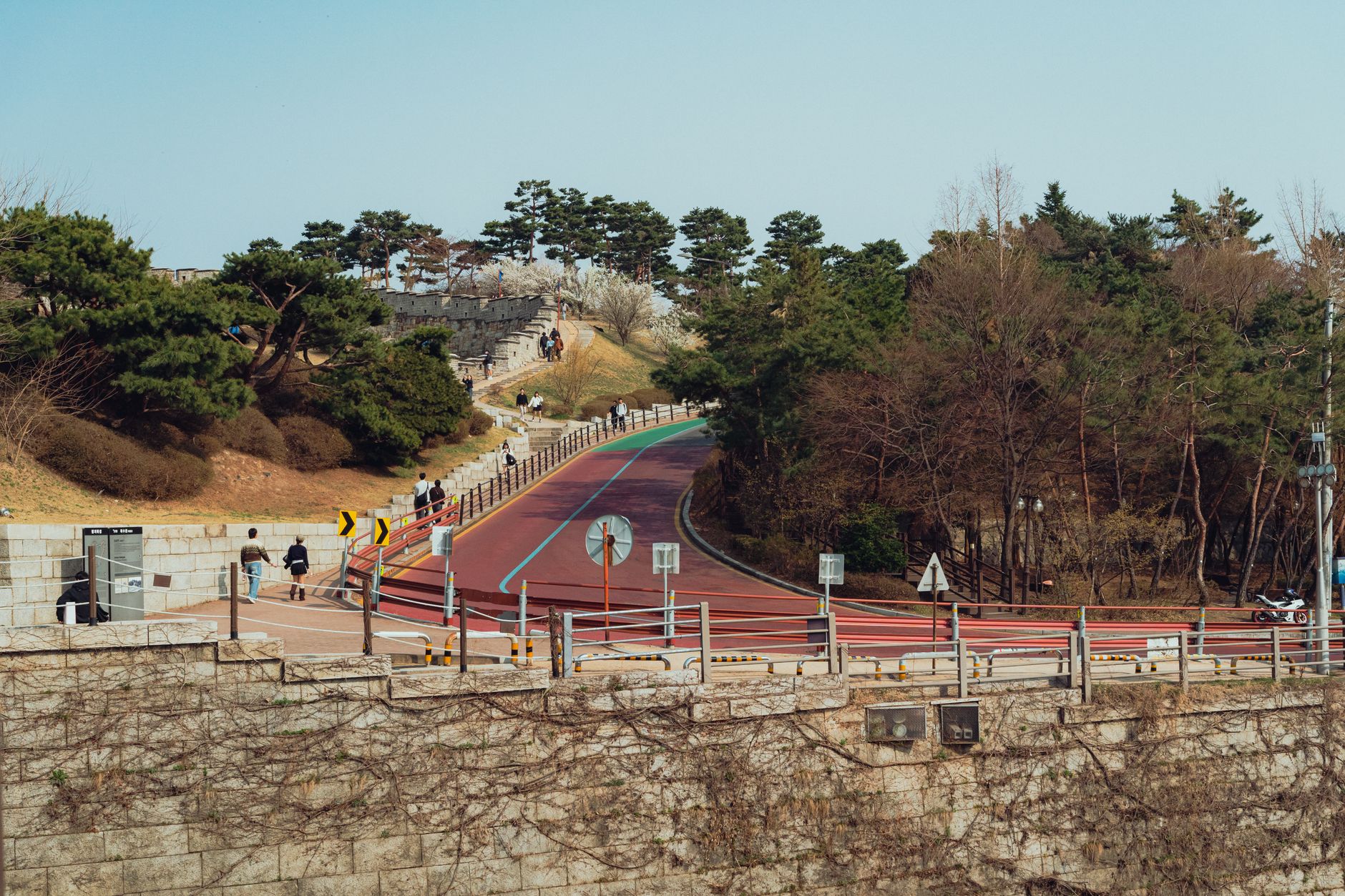
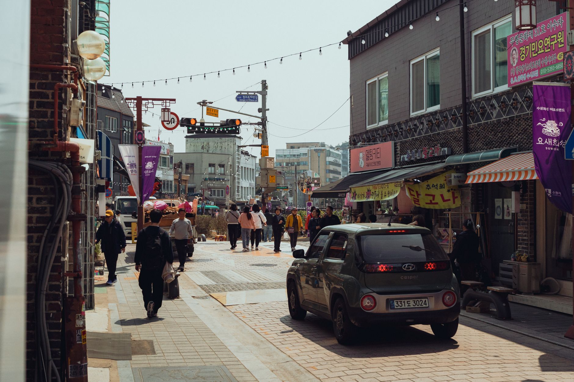
An hour south of Seoul on the subway, Suwon is where you come for Hwaseong Fortress — 5.74 kilometres of wall that King Jeongjo ordered built in 1794 to honour his father's memory. The scale of it surprises people. Walk the full circuit and you pass cardinal gates, beacon towers, command posts, floodgates, and embrasured bastions, all of it intact enough to earn UNESCO recognition in 1997.
Suwon is also the city where Samsung Electronics was founded in 1969, which gives it a particular dual character: ancient stone walls and a modern industrial backbone sitting in the same municipal boundary. Most visitors come for the fortress and stay longer than planned.
💛 What travellers fall for
People who return tend to time a Sunday visit around the 2 p.m. guard-changing ceremony at one of the gates, or plan around the fall Hwaseong Cultural Festival, when royal procession reenactments fill the grounds. The integrated ticket — under ₩10,000 — covers the fortress, Haenggung Palace, and both museums, and most regulars say it's worth doing all four in one day.
How Suwon came to be
Suwon has been an administrative centre for centuries — it became the seat of Gyeonggi Province in 1395 — but its defining moment came in 1796. King Jeongjo, the 22nd ruler of the Joseon dynasty, relocated the city to the foot of Paldalsan and commanded the construction of Hwaseong Fortress, both as a monument to his father Prince Sado and as a planned royal city. The scholar-official Jeong Yakyong designed the fortress, drawing on Korean and Chinese military architecture to produce a structure of 48 original elements.
The walls enclosed 130 hectares and incorporated features unusual for their era: multiple-arrow launcher platforms, secret gates, and a sophisticated drainage system. The city was designated a municipality in 1949, and Samsung's founding here two decades later reshaped its economy entirely.
Who and what shaped it
People who shaped it
Landmark buildings
See Suwon in motion
Plan your visit
On the map
When to go
Spring (particularly May) and autumn (September through October) are the most comfortable seasons for walking the walls, with temperatures between 10°C and 26°C and manageable rainfall. Summer brings heat near 30°C and a wet July that can see rain on more than half the days in the month; winter is dry but cold, averaging around -2.8°C in January.
Right now
Background & history adapted from Wikipedia (CC BY-SA) · specs from Wikidata (CC0) · weather from Open-Meteo · map data © OpenStreetMap contributors · photos from Wikimedia Commons / Unsplash with per-image credit. No third-party reviews or social posts reproduced.