
Surabaya
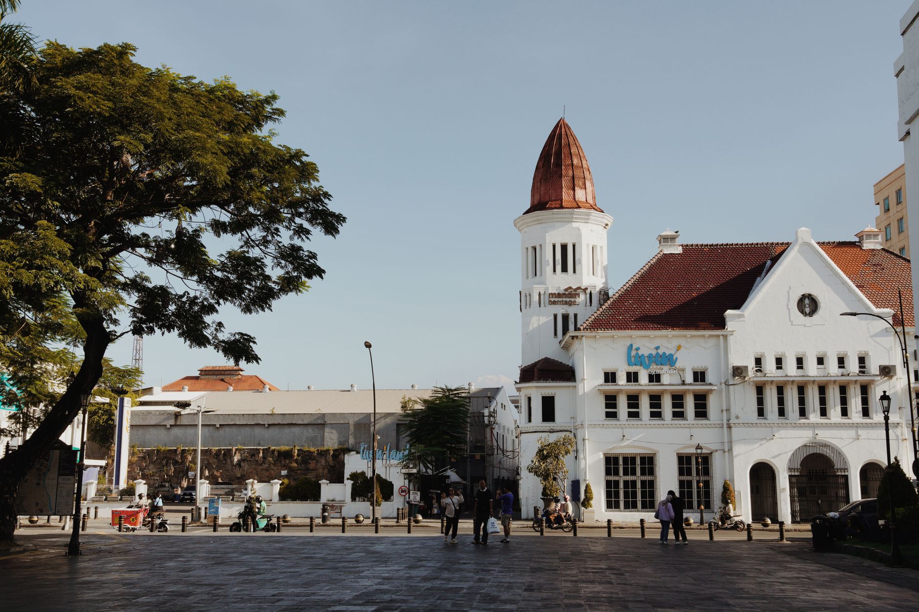
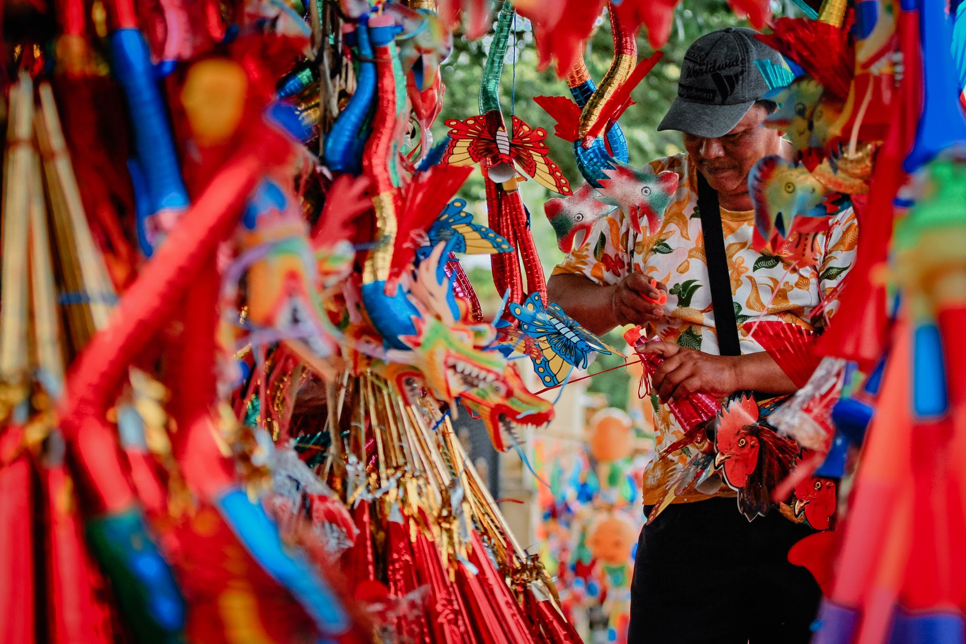
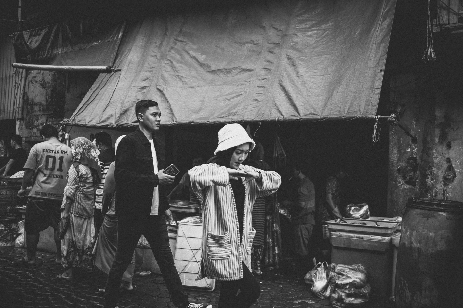
Surabaya announces itself through contradiction: a 41-metre obelisk rising above a colonial square, the smell of clove smoke drifting from a Dutch-era factory where workers still hand-roll cigarettes by the thousands, a Soviet submarine sitting landlocked on a city boulevard. Indonesia's second city has been a trading port, a battlefield and a pilgrimage destination across seven centuries, and it wears all of it at once.
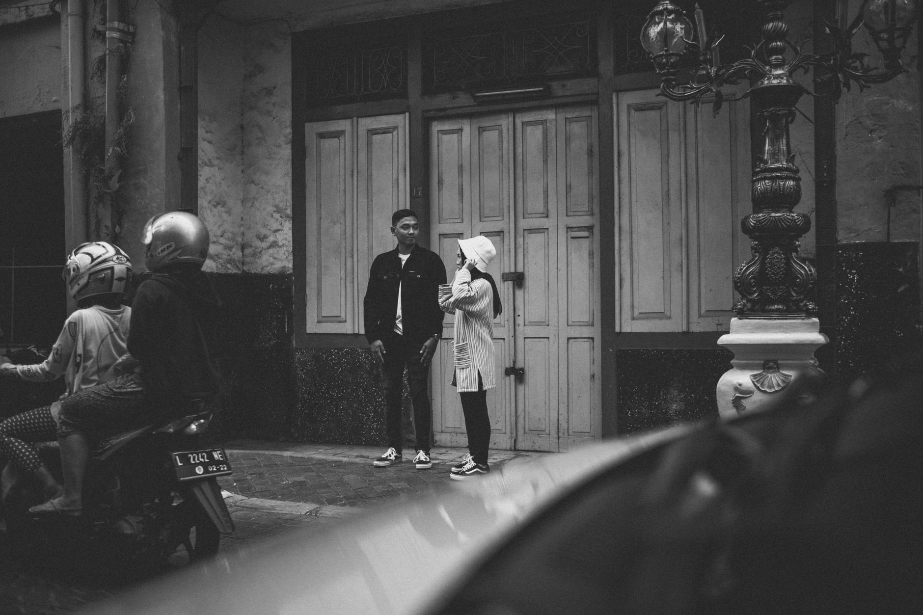
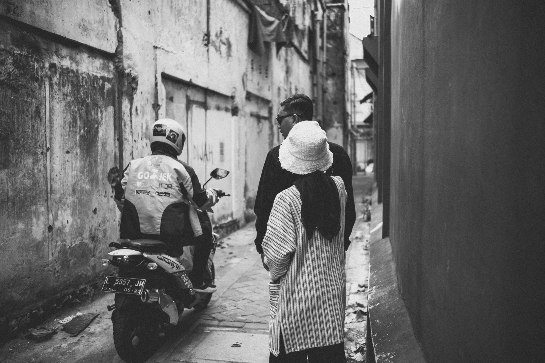
The old town around Jembatan Merah and Kembang Jepun Street holds the Dutch-era streetscapes; Ampel quarter pulls in Muslim pilgrims to one of East Java's oldest mosques. The city rewards the unhurried walker who notices the architecture before the Instagram frame.
How Surabaya came to be
The city traces its founding to 31 May 1293, when Raden Wijaya — who would go on to establish the Majapahit Empire — defeated a Mongol force near the river mouth. The date is still marked on the city calendar. By the 14th century Surabaya was already the principal trading port of eastern Java, a position it held through successive powers: the Sultanate, then the Dutch from the mid-18th century, then a brief British interlude, then Japanese occupation from 1942.
The sharpest date in local memory is 10 November 1945. British forces moved in after Brigadier Mallaby was killed near Jembatan Merah, and the battle that followed became a defining moment of Indonesian resistance. It is now commemorated nationally as Heroes' Day — the obelisk at Tugu Pahlawan and the museum beneath it are its permanent record.
Who and what shaped it
People who shaped it
Landmark buildings
See Surabaya in motion
Plan your visit
On the map
When to go
Surabaya sits in a tropical lowland and is hot year-round, with temperatures rarely dropping below 25°C. The dry season runs roughly May to October — the more comfortable window for walking the old districts; the wet season brings heavy afternoon downpours from November through April.
Right now
Background & history adapted from Wikipedia (CC BY-SA) · specs from Wikidata (CC0) · weather from Open-Meteo · map data © OpenStreetMap contributors · photos from Wikimedia Commons / Unsplash with per-image credit. No third-party reviews or social posts reproduced.