
Šumava National Park
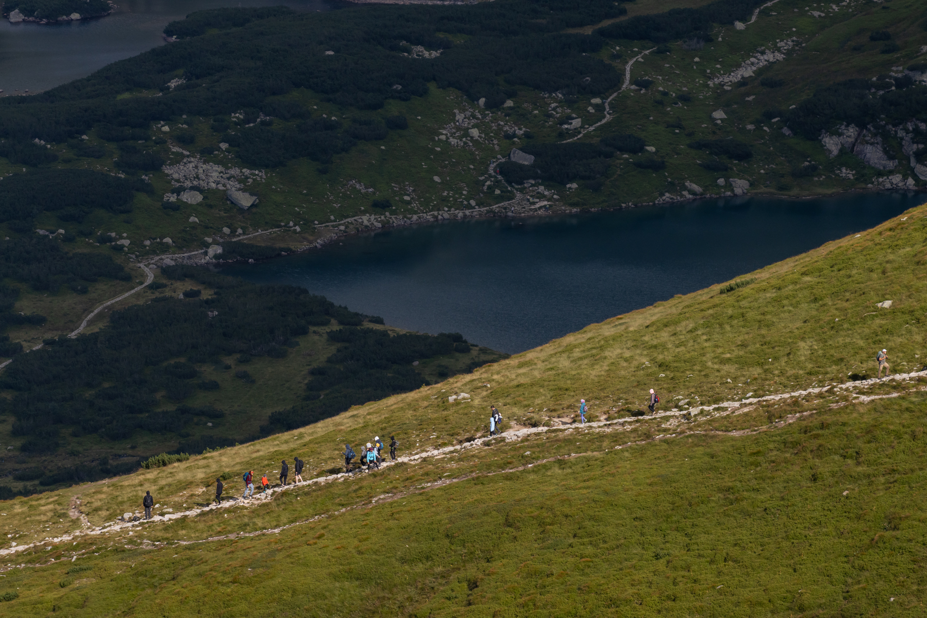
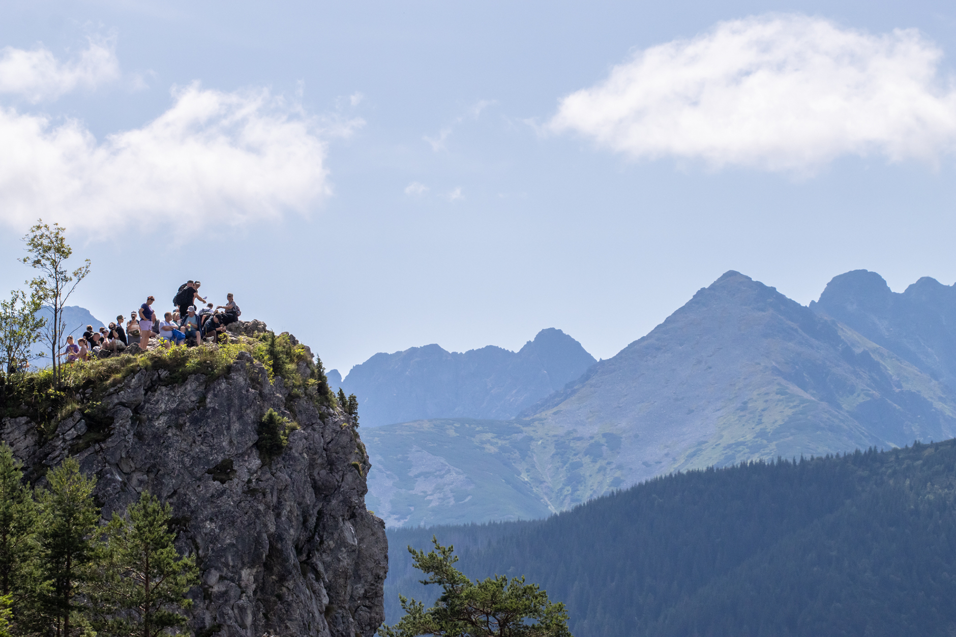

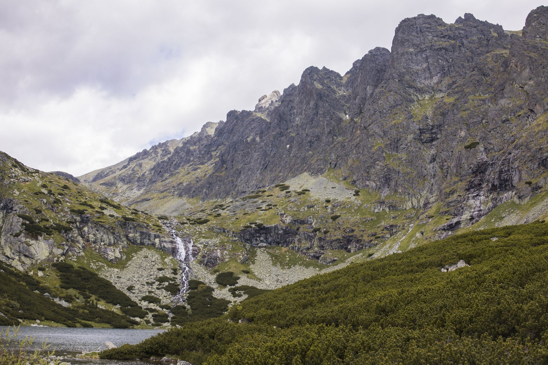
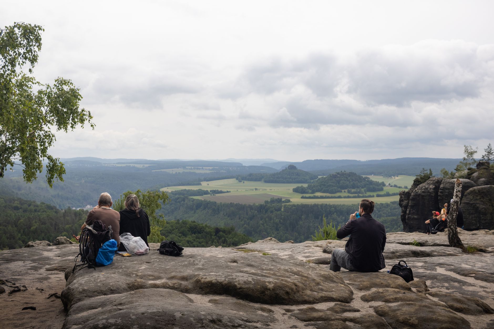
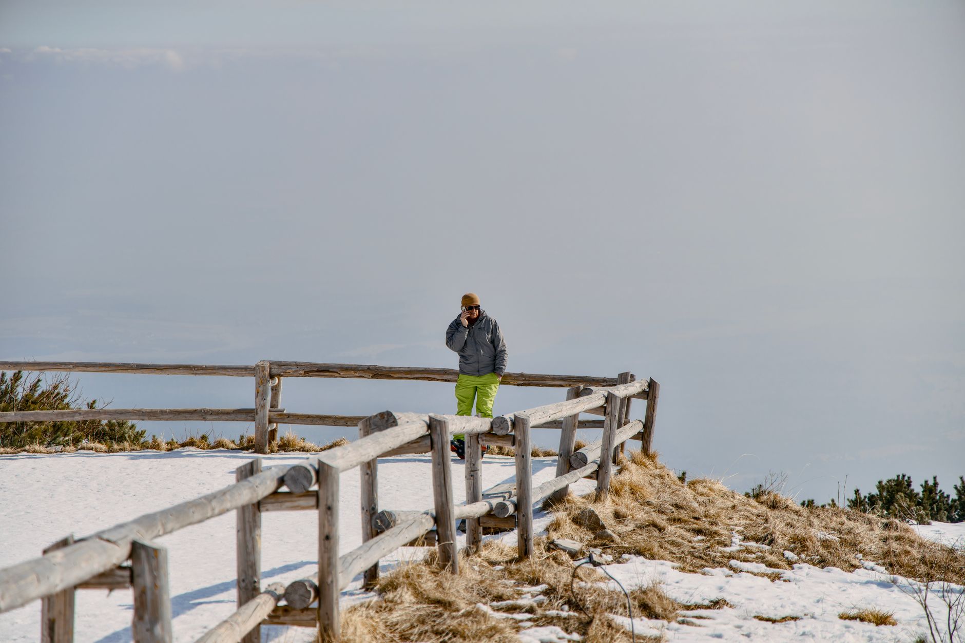
Šumava sits along the southwestern edge of Bohemia, where the land rises into a broad plateau of spruce forest, peat bogs, and glacial lakes shared with Bavaria and Austria. The air here carries a particular quality — cool even in July, heavy with moisture from the 1,600 mm of rain that falls on the exposed border ridges. This is one of the largest forested areas in Central Europe, and the park's primary purpose is stated plainly: nature protection first, tourism second.
You come here for the kind of landscape that moves slowly. The Boubínský Prales old-growth forest near Kubova Huť has trees that have never been managed — twisted roots, moss-covered fallen trunks, ferns in the understorey. The five glacial lakes, including the crystal-clear Čertovo jezero, sit in valleys the ice carved and then left behind.
💛 What travellers fall for
People who return tend to anchor themselves in one village and walk outward. Rejštejn, population around 250, is quieter than Železná Ruda and still has guesthouses and a café. The Povydří trail along the Vydra River — from Antýgl to Čeňkova Pila — comes up repeatedly as the walk that earns its reputation, the river shouldering through boulders the whole way.
How Šumava National Park came to be
The area was first protected in December 1963 as a Landscape Reserve covering 1,686 km². UNESCO designated it a biosphere reserve in 1990, and on 20 March 1991 — the same day the much smaller Podyjí was established — its most ecologically significant core became a national park. Pavel Hubený, one of the people who drafted the proclamation, later became its director.
The park's management has rarely been straightforward. The European spruce bark beetle (Ips typographus) has killed large sections of forest since the 1990s, generating persistent argument over whether to fell affected trees or allow natural succession. In January 2007, Hurricane Kyrill flattened more than 850,000 cubic metres of timber in a single event, sharpening that debate further.
Who and what shaped it
People who shaped it
Landmark buildings
See Šumava National Park in motion
Plan your visit
On the map
When to go
Šumava runs cold and wet across most of the year — average temperatures range from around 3°C at the highest elevations to 6°C across the park, with humidity near 80%. Summer (June to August) brings the warmest and driest conditions, with July averaging around 21°C; winters are long, snowy, and suited to cross-country skiing on the plateau trails.
Right now
Background & history adapted from Wikipedia (CC BY-SA) · specs from Wikidata (CC0) · weather from Open-Meteo · map data © OpenStreetMap contributors · photos from Wikimedia Commons / Unsplash with per-image credit. No third-party reviews or social posts reproduced.