
Sumatra
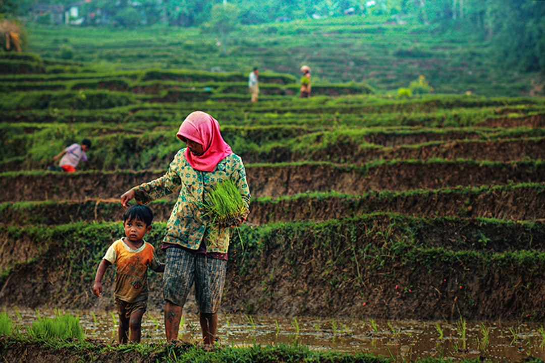
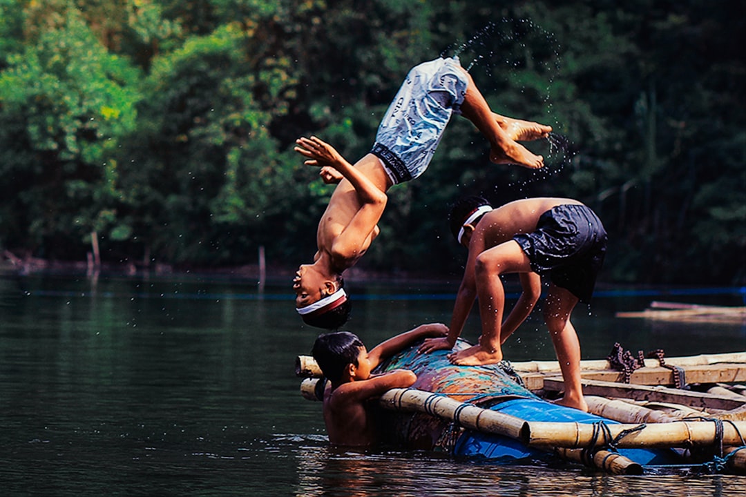
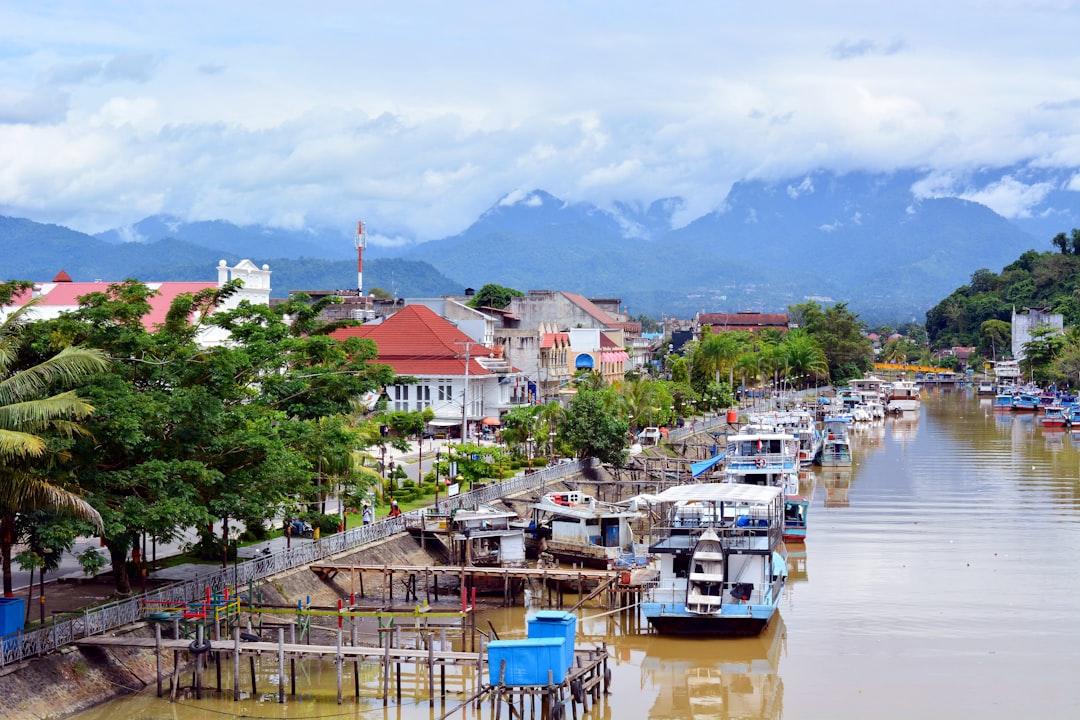
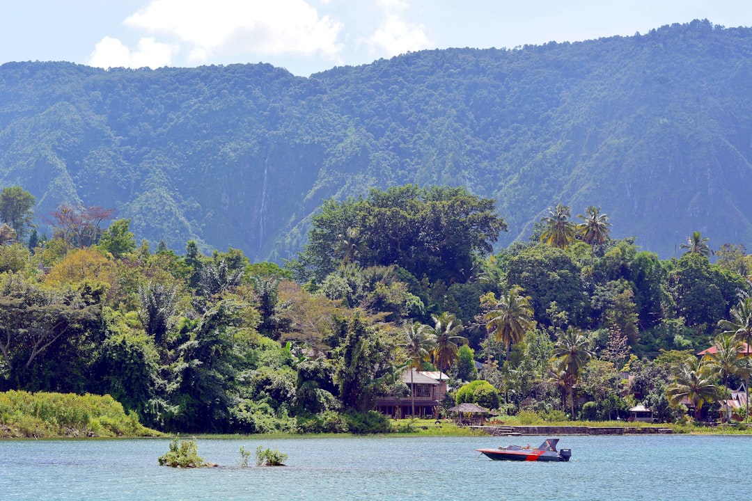
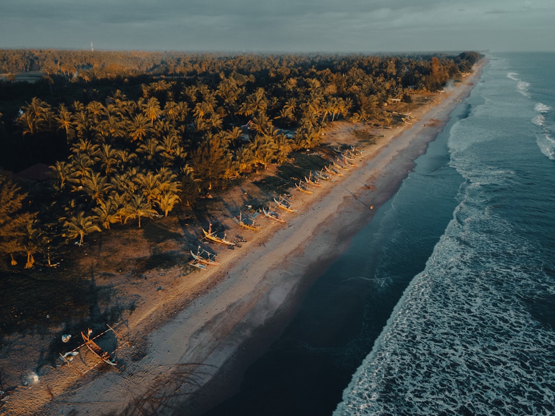
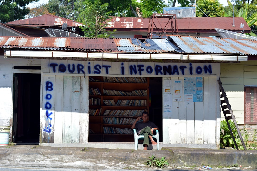
Sumatra is the kind of place that resists a single summary. The island runs roughly 1,800 kilometres along the equator, and within that span you'll find the world's largest volcanic crater lake, a mountain that tops 3,800 metres, rainforests that hold orangutans and Sumatran tigers, and more than 52 distinct languages — nearly all of them related, yet each its own thing.
This is also where Islam first took hold in the Indonesian archipelago, and where the Srivijaya empire once commanded the trade routes between India and China. The weight of that history sits lightly on the land, but it's there if you look.
How Sumatra came to be
By the 7th century, two Indian-influenced states had taken root here: Melayu and Srivijaya. Srivijaya absorbed Melayu by 692 CE and grew into a maritime power that shaped commerce across Southeast Asia — until the Chola Empire of southern India dealt it a decisive blow in 1025. Sumatra was also the first part of the Indonesian archipelago where Islam spread, arriving gradually from the west.
The Portuguese reached the island in the 16th century; the Dutch followed a century later and fought the long, costly Aceh War from 1873 to 1903. Japan invaded in 1942. When independence came in 1950, Sumatra entered the Indonesian republic carrying the layered imprint of every one of those encounters.
Who and what shaped it
People who shaped it
Landmark buildings
See Sumatra in motion
Plan your visit
On the map
When to go
Temperatures barely shift across the year — the island averages 27–28°C — but the seasons matter for how you move through it. May to September is drier and far easier for reaching jungles, volcanoes and remote villages; November through March brings heavy rain that can close roads into highland areas entirely.
Right now
Background & history adapted from Wikipedia (CC BY-SA) · specs from Wikidata (CC0) · weather from Open-Meteo · map data © OpenStreetMap contributors · photos from Wikimedia Commons / Unsplash with per-image credit. No third-party reviews or social posts reproduced.