
Sulawesi
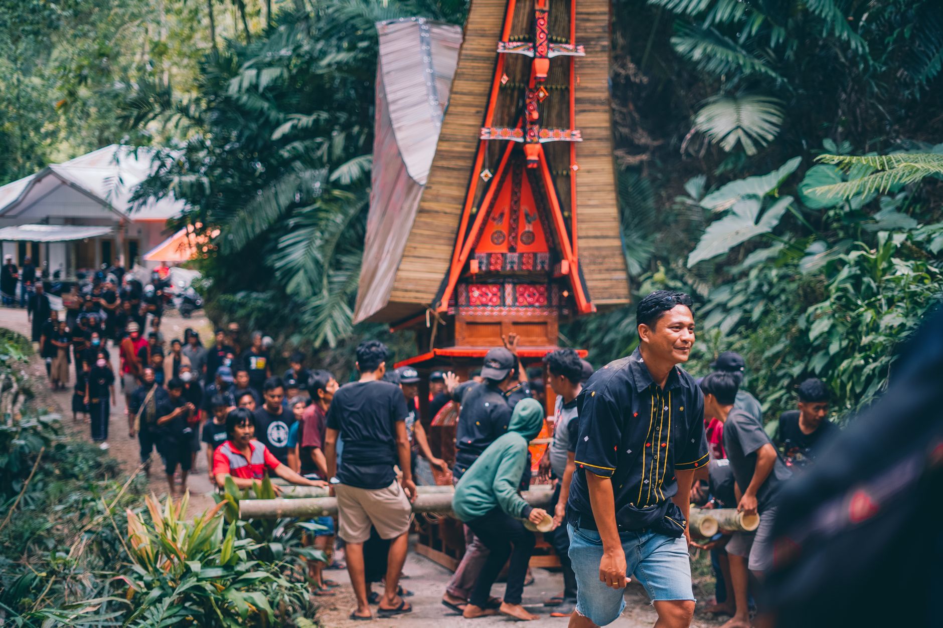
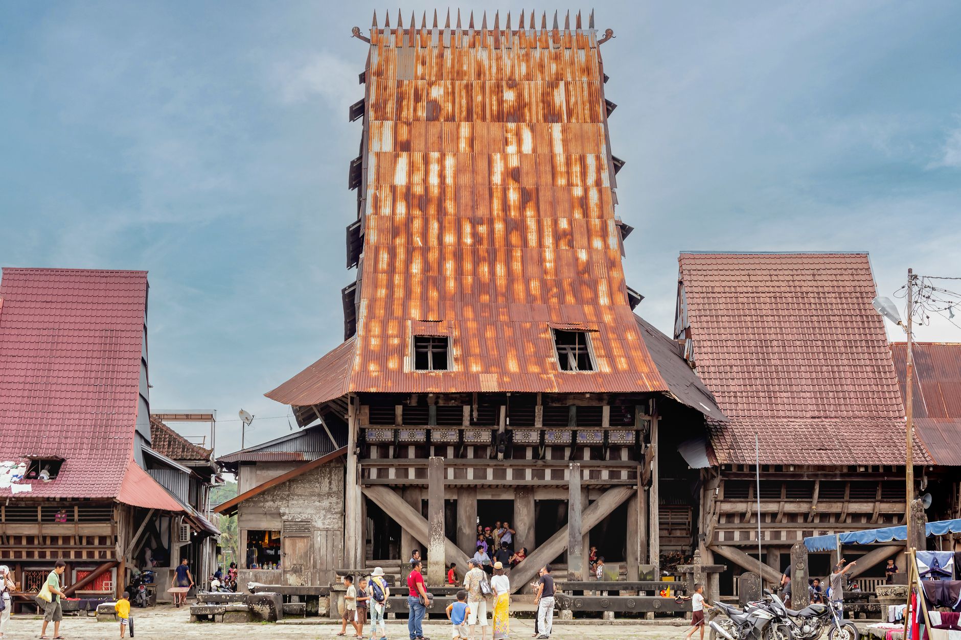
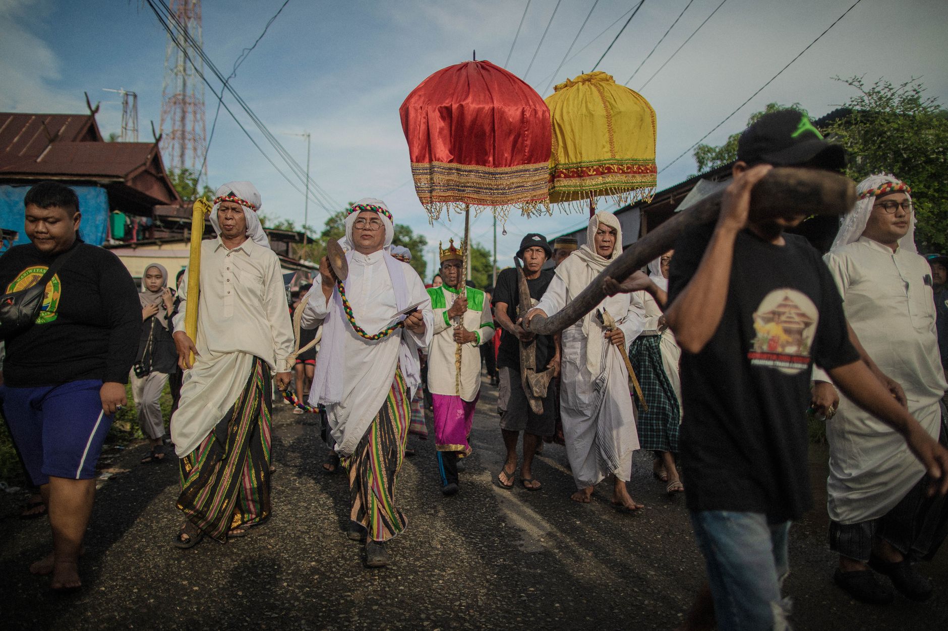
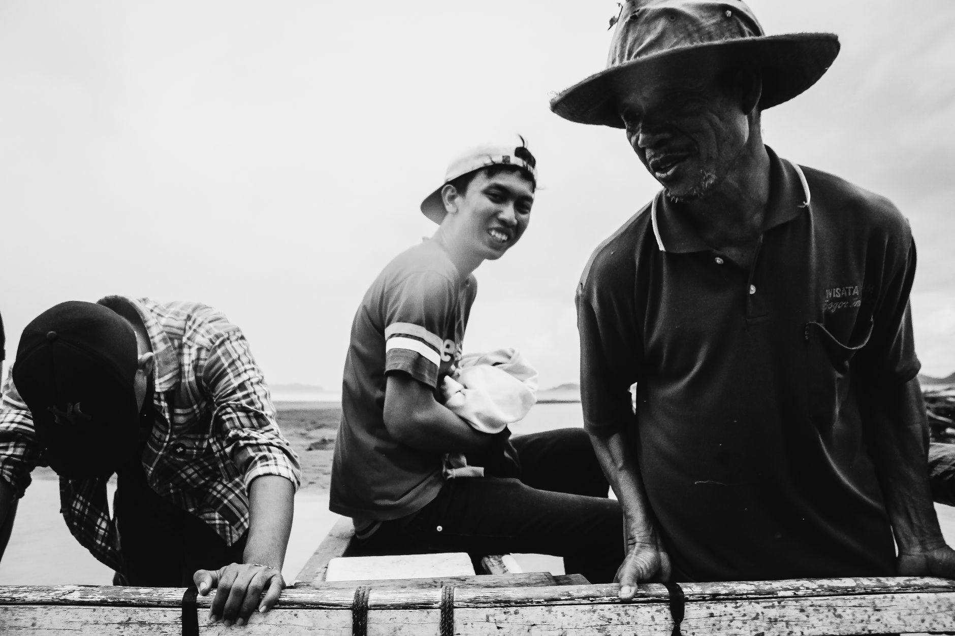
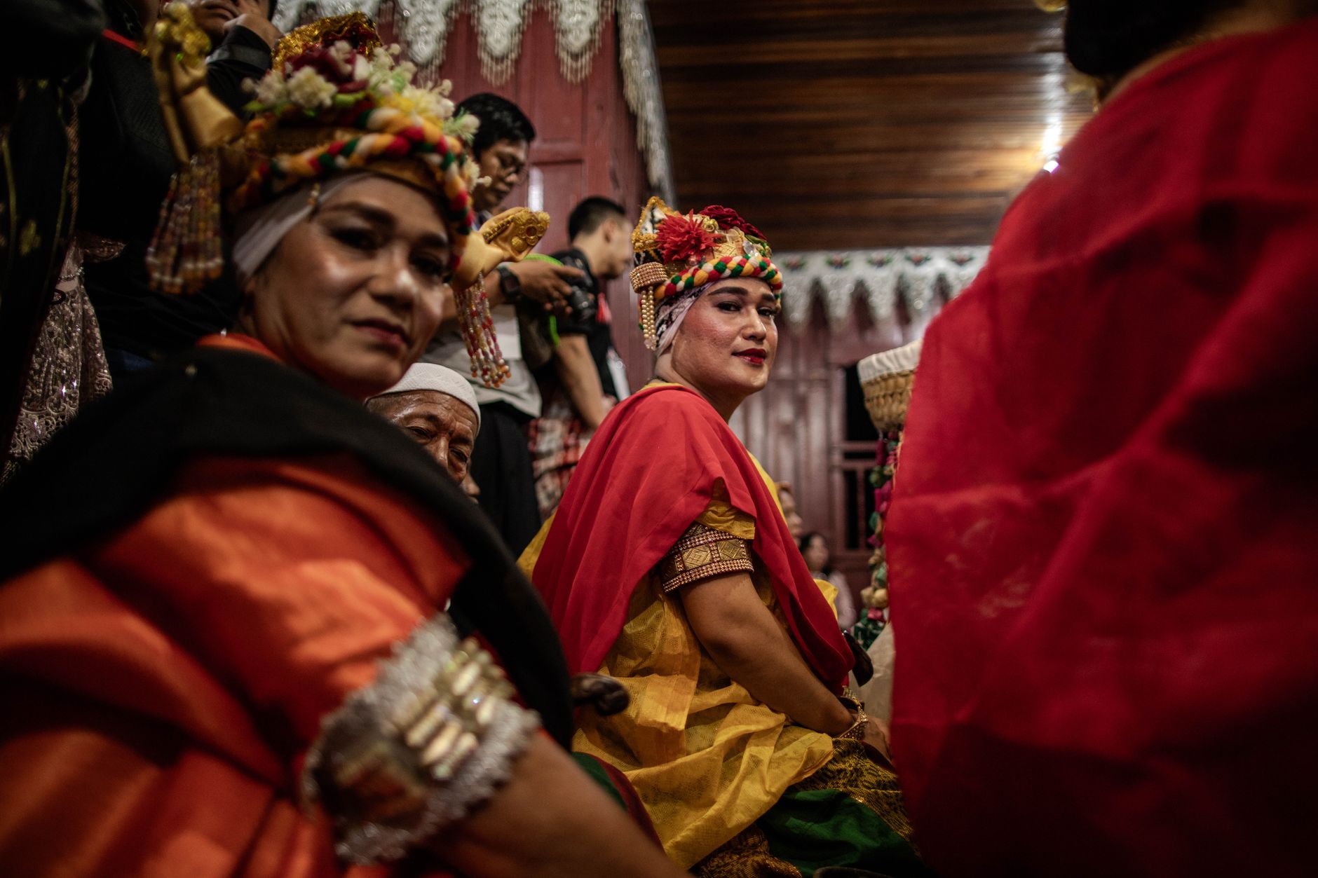
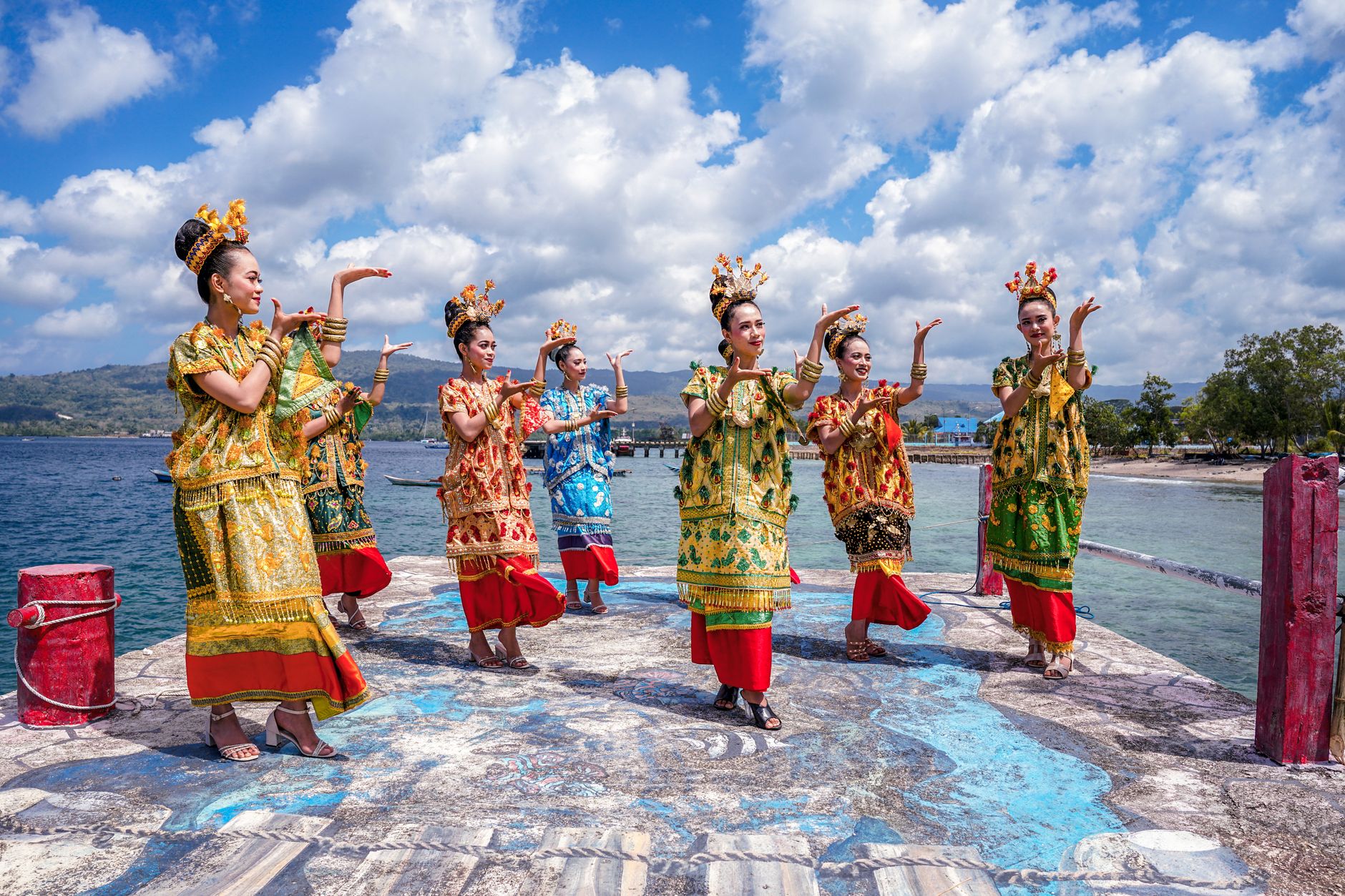
The caves above Maros tell you something about Sulawesi before a single word is spoken: hand stencils pressed into limestone walls at least 67,800 years ago, the oldest known rock art on earth, in a place most visitors haven't heard of. That's the island in miniature — extraordinary things arrived at quietly, without fanfare.
Sulawesi is shaped like a four-armed orchid, each peninsula running into a different sea. The Bugis built ships here for two millennia and traded them across the whole archipelago. Toraja communities kept their dead in cliff-face tombs in the highlands. The Dutch fought a decade-long war for the spice routes. All of it is still visible, if you know where to look.
How Sulawesi came to be
Stone tools at the Calio site place humans on Sulawesi over a million years ago, and the cave art at Leang-Leang pushes the island's cultural record back further than almost anywhere on earth. Austronesian-speaking farmers arrived around the mid-second millennium BC, and by the 14th century the Javanese manuscript Nagarakretagama was already naming Sulawesi polities — Gowa, Luwu, Banggai — as part of the wider regional world.
Portuguese sailors reached the island in 1523, drawn by the same spice-trade logic that brought them everywhere in the archipelago. The Dutch followed in 1605 and spent decades trying to break the Sultanate of Gowa. In 1669, after years of war, Admiral Speelman forced Sultan Hasanuddin to sign the Treaty of Bongaya, handing trade control to the Dutch East India Company. Dutch authority solidified across the south by 1860 and across the whole island by 1905. Sulawesi joined the Republic of Indonesia in 1950.
Who and what shaped it
People who shaped it
Landmark buildings
See Sulawesi in motion
Plan your visit
On the map
When to go
The island straddles the equator, so heat is a constant, but rainfall patterns vary sharply by region and season. The dry season (roughly April to October) is the most reliable window for travel, though the north and south don't always sync — check conditions for whichever peninsula you're heading to.
Right now
Background & history adapted from Wikipedia (CC BY-SA) · specs from Wikidata (CC0) · weather from Open-Meteo · map data © OpenStreetMap contributors · photos from Wikimedia Commons / Unsplash with per-image credit. No third-party reviews or social posts reproduced.