
Sukhumvit
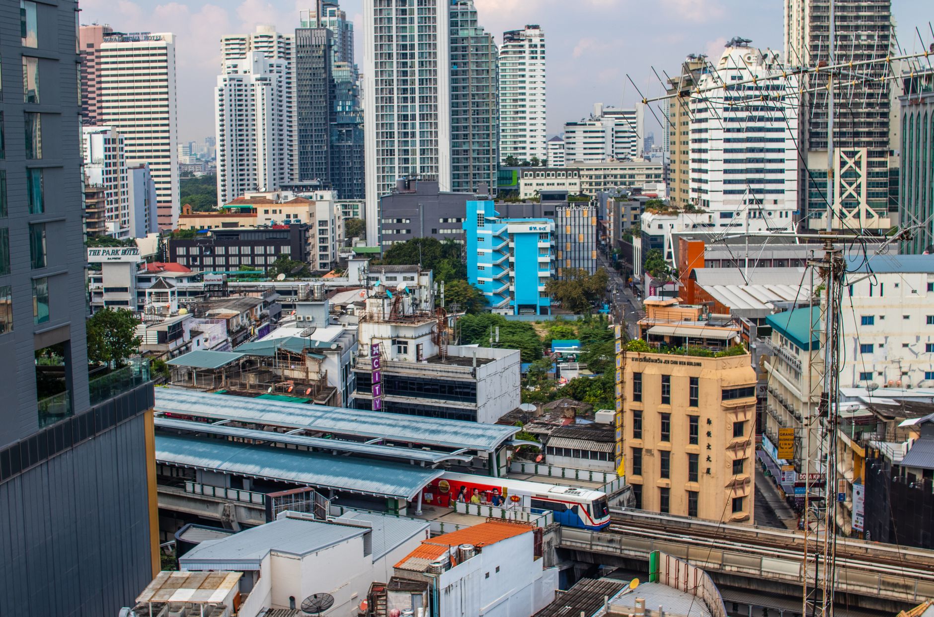
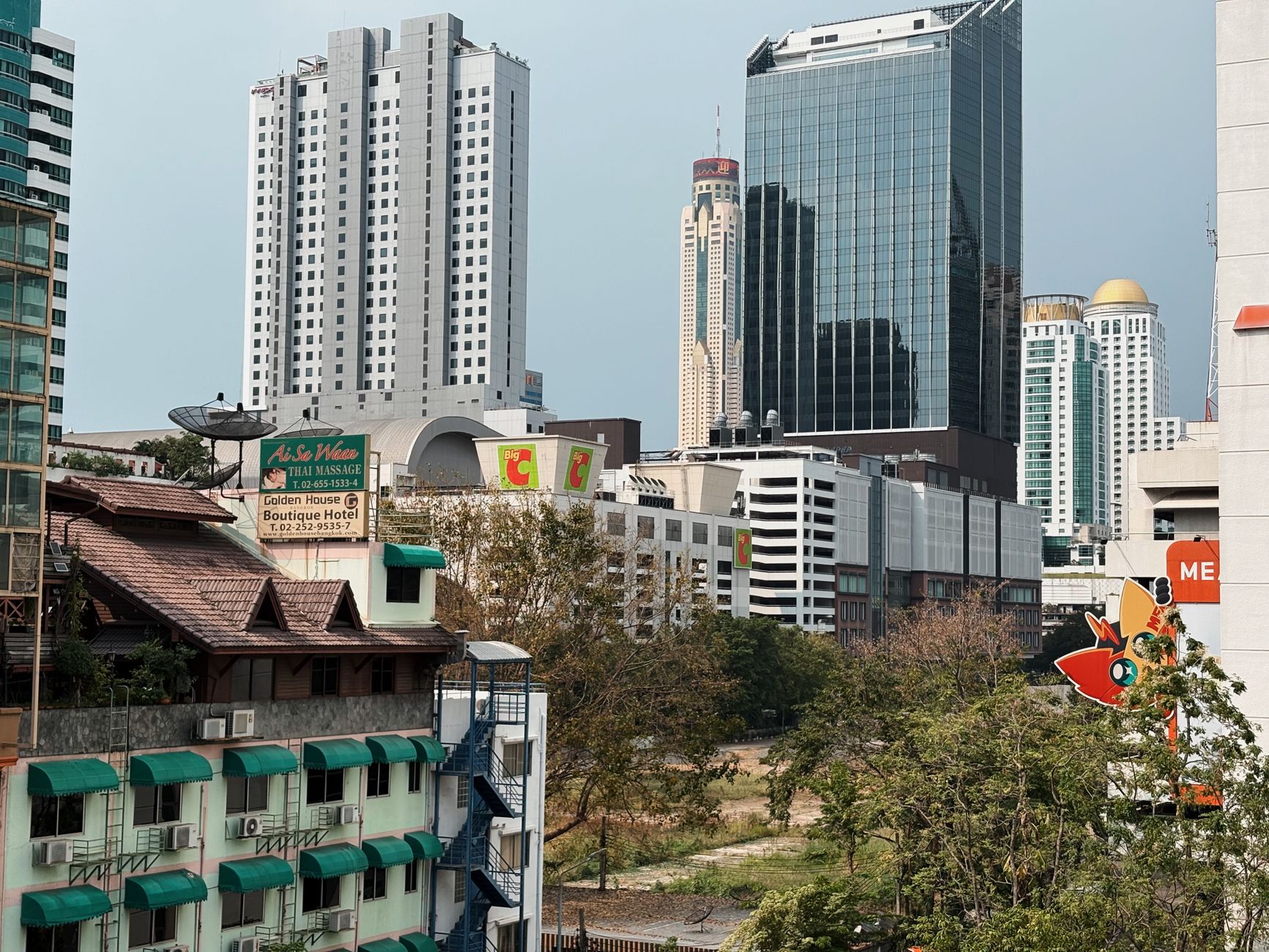
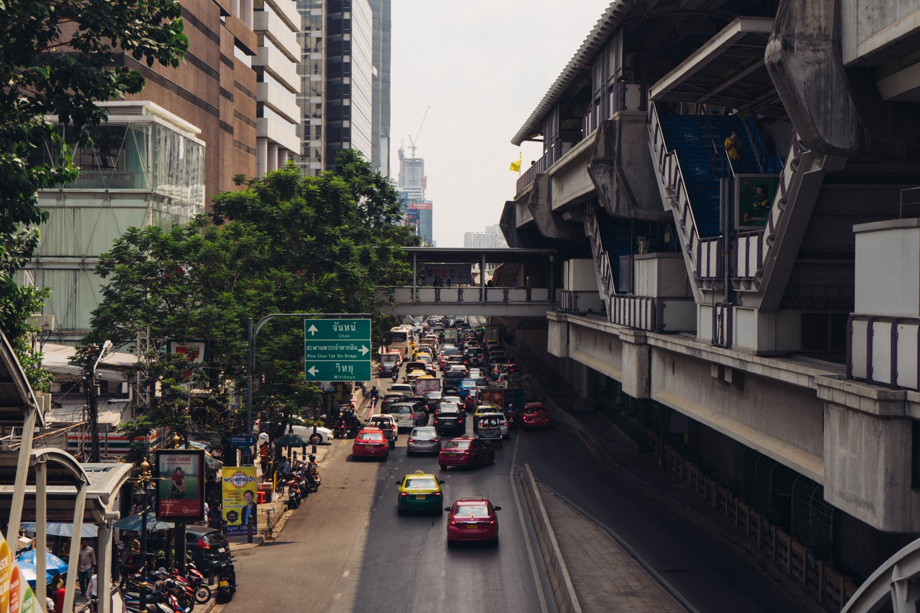
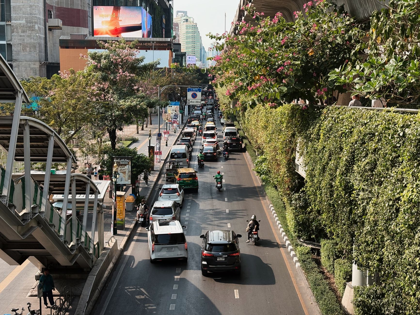
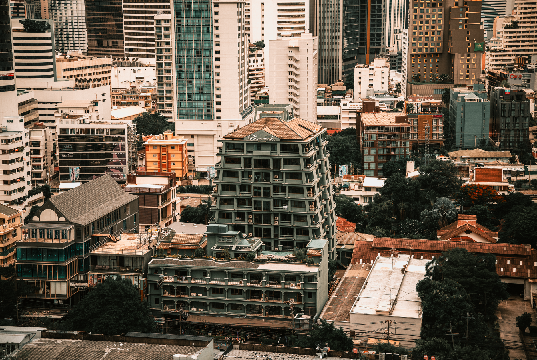
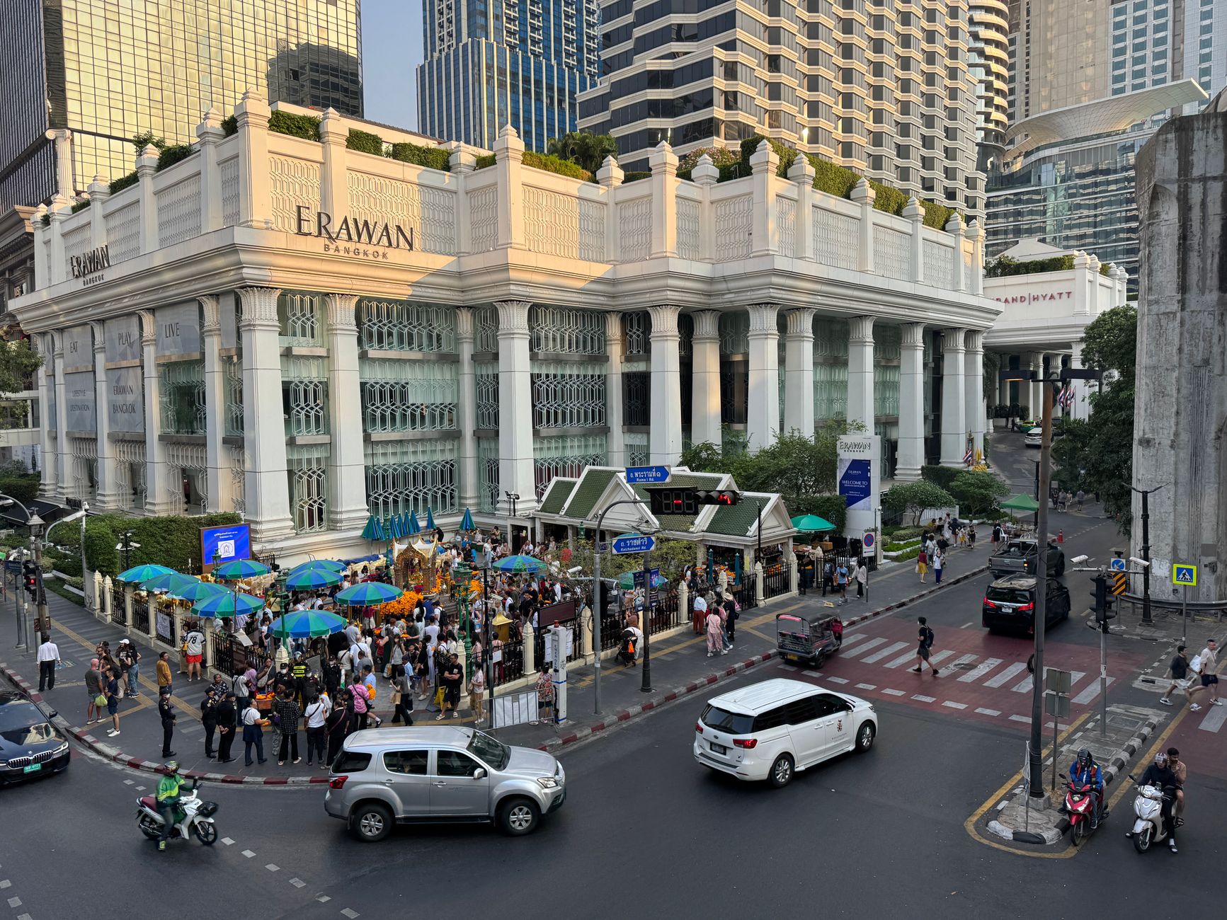
Sukhumvit Road runs east from central Bangkok like a long argument that never quite resolves — sois branching off on either side, numbered into the dozens, each one a different world. On one block you pass a street cart selling grilled pork skewers; on the next, a glass tower with a rooftop bar charging Tokyo prices. The road itself is the destination, more than any single thing on it.
What draws people — and keeps drawing them back — is the infrastructure of pleasure and convenience packed into a walkable corridor. The BTS Skytrain threads it all together, and once you understand that the even-numbered sois run south and the odd ones north, the place starts to make sense.
💛 What travellers fall for
Regulars tend to anchor themselves to one or two stations and work outward. Phrom Phong for the covered walk between Emporium and EmQuartier when the April heat is punishing. Asok for Terminal 21, where every floor is themed after a different city — absurd in concept, genuinely useful when you need air conditioning and a meal at the same time. Ban Kamthieng on Soi 21 rewards the detour: a 19th-century teak house that arrived from Chiang Mai and somehow survived.
Deals in Sukhumvit
Book directly at the provider

How Sukhumvit came to be
Before 1936, this was farmland — rice paddies stretching east of the city, tended by a handful of families. The road that would change all of that was completed that year and named for Phra Pisan Sukhumvit Boriharn, the fifth chief of the Department of Highways. For a decade or so it remained genteel: villas built for Bangkok's upper class, quiet and tree-lined.
The Vietnam War remade it entirely. Thailand aligned with the United States, and Bangkok became a rest-and-recreation hub for American military personnel. Hotels, bars, and nightclubs followed the money, and the character of Sukhumvit shifted into something harder to categorize. By the 1990s, high-rise construction had taken over, and on 5 December 1999 the BTS Skytrain opened — the piece of infrastructure that finally stitched the road's sprawl into something navigable.
Who and what shaped it
People who shaped it
Landmark buildings
See Sukhumvit in motion
Plan your visit
On the map
When to go
December through mid-February is the most comfortable stretch: dry, rarely above 30°C, with enough of a breeze to make walking bearable. April sits at the other extreme — temperatures can climb past 40°C — and the months from June through October bring heavy rain and thick humidity, with September averaging over 330mm of rainfall.
Right now
Background & history adapted from Wikipedia (CC BY-SA) · specs from Wikidata (CC0) · weather from Open-Meteo · map data © OpenStreetMap contributors · photos from Wikimedia Commons / Unsplash with per-image credit. No third-party reviews or social posts reproduced.