
Sukhothai
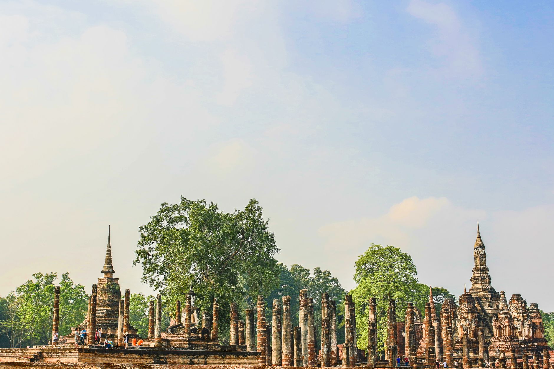
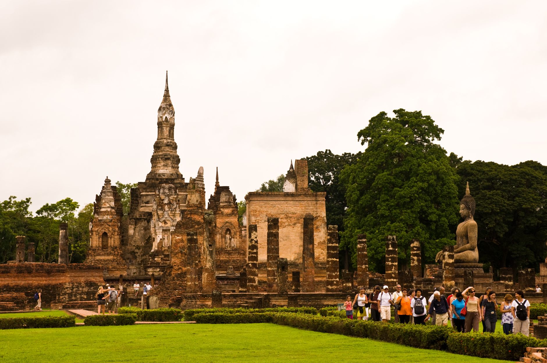
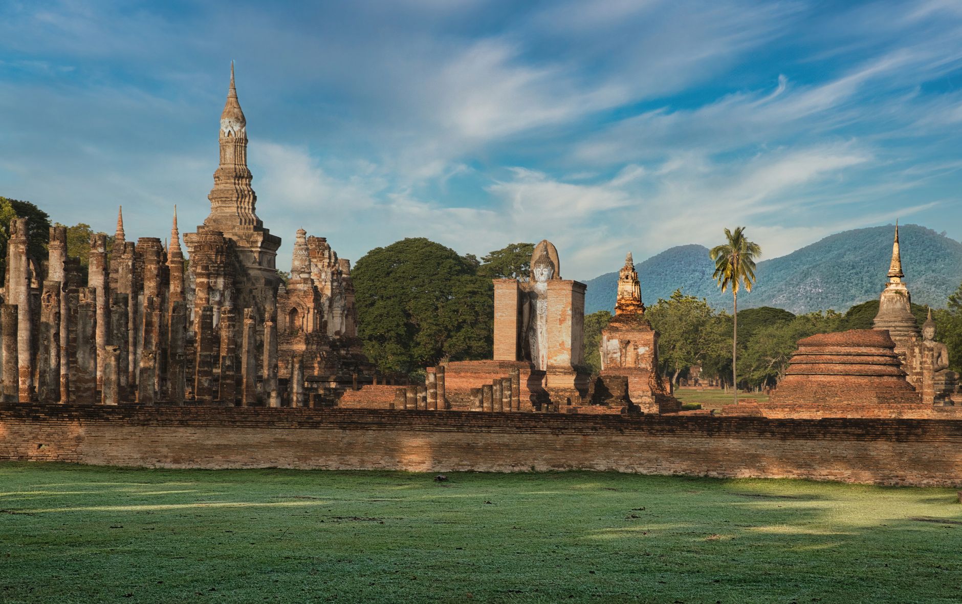
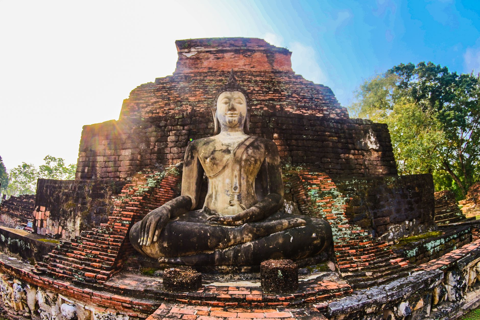
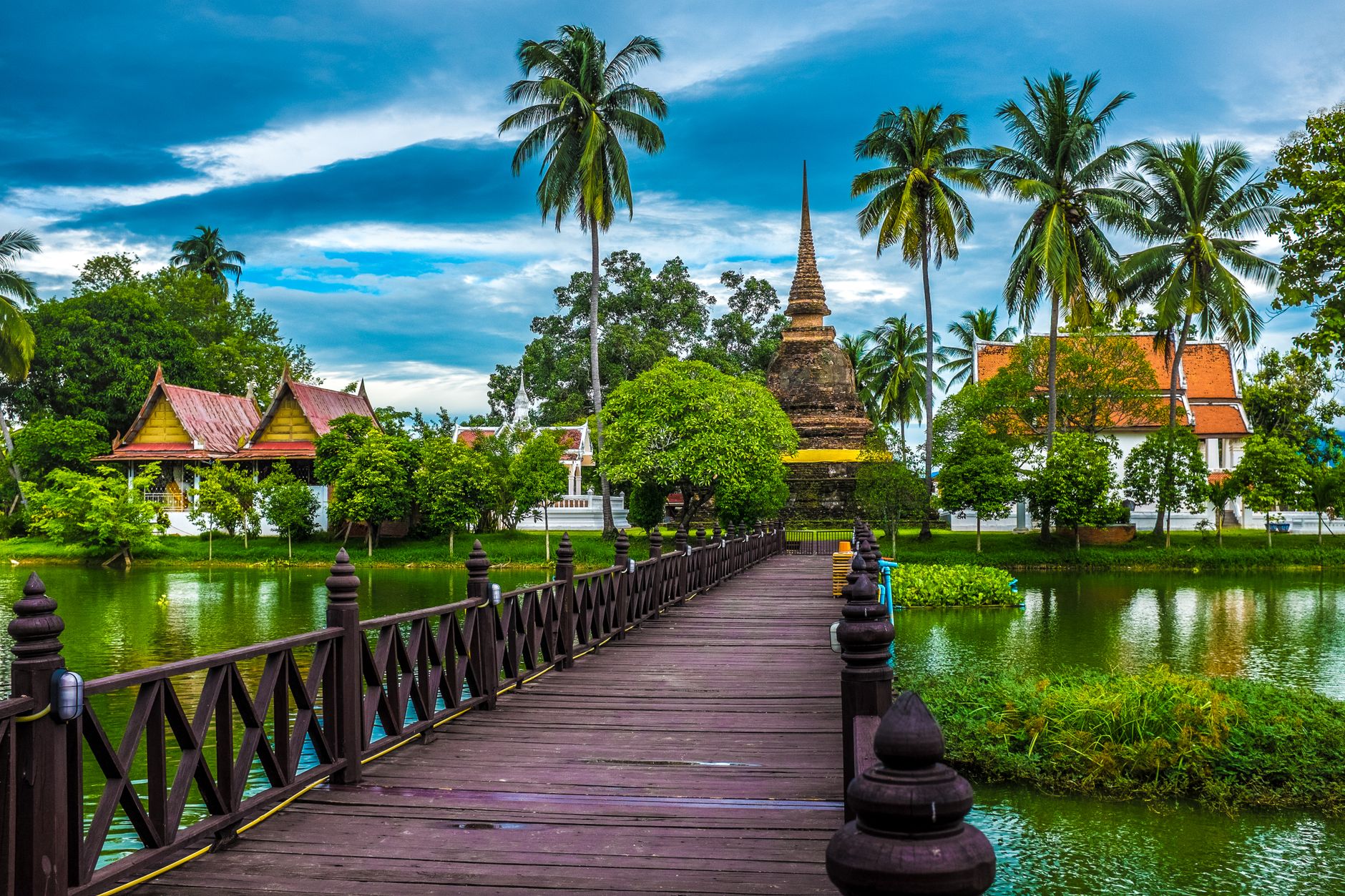
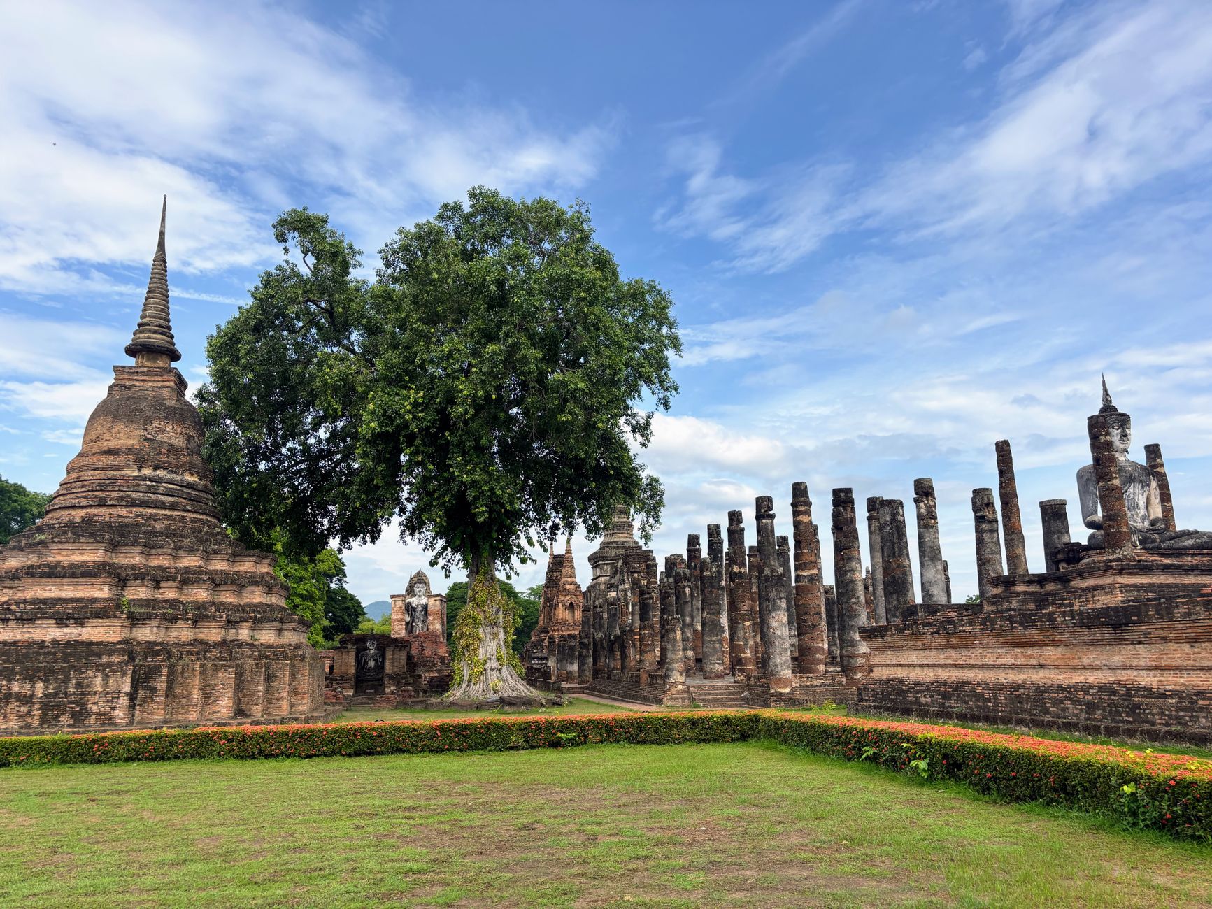
About 427 kilometres north of Bangkok, the old capital of Sukhothai sits quietly inside a rectangle of ancient walls, its ruined temples rising from lotus-filled lakes and flat green lawns. The lotus-bud stupas here are a distinct shape you won't find anywhere else in Thailand — a form that emerged in the 13th century and became the signature of an entire architectural tradition.
Modern Sukhothai Thani is 12 kilometres away and largely unremarkable. What draws people is the Historical Park: 70 square kilometres holding 193 ruins, most of them accessible by bicycle, in a landscape that rewards slow movement rather than quick ticking-off.
How Sukhothai came to be
Sukhothai emerged as a city-state around 1127 and became the seat of an independent kingdom in 1238 when King Si Inthrathit broke away from Khmer dominance. The kingdom reached its greatest reach under King Ramkhamhaeng, who ruled from roughly 1279 to 1298 and extended Sukhothai's influence north into present-day Laos, west to the Andaman coast, and south toward the Malay Peninsula.
Later rulers Lo Thai and Maha Thammaracha I — known as Lu Thai — were patrons of Buddhist art and architecture; Lu Thai also wrote the Traibhumikatha in 1345, considered Thailand's most significant early literary work. The kingdom's independence ended in 1438 when it fell under Ayutthaya. The site lay largely overgrown until Thailand and UNESCO began restoration in the 1970s; the park opened in the late 1980s and was inscribed as a UNESCO World Heritage Site in 1991.
Who and what shaped it
People who shaped it
Landmark buildings
See Sukhothai in motion
Plan your visit
On the map
When to go
The cool season from November to February is the most comfortable time to visit, with lower humidity and temperatures that make cycling the park manageable. March through May brings intense heat, and the monsoon season from June to October brings rain — the ruins take on a different atmosphere in the wet, but the paths can flood.
Right now
Background & history adapted from Wikipedia (CC BY-SA) · specs from Wikidata (CC0) · weather from Open-Meteo · map data © OpenStreetMap contributors · photos from Wikimedia Commons / Unsplash with per-image credit. No third-party reviews or social posts reproduced.