
Sudeten Mountains (Karkonosze)

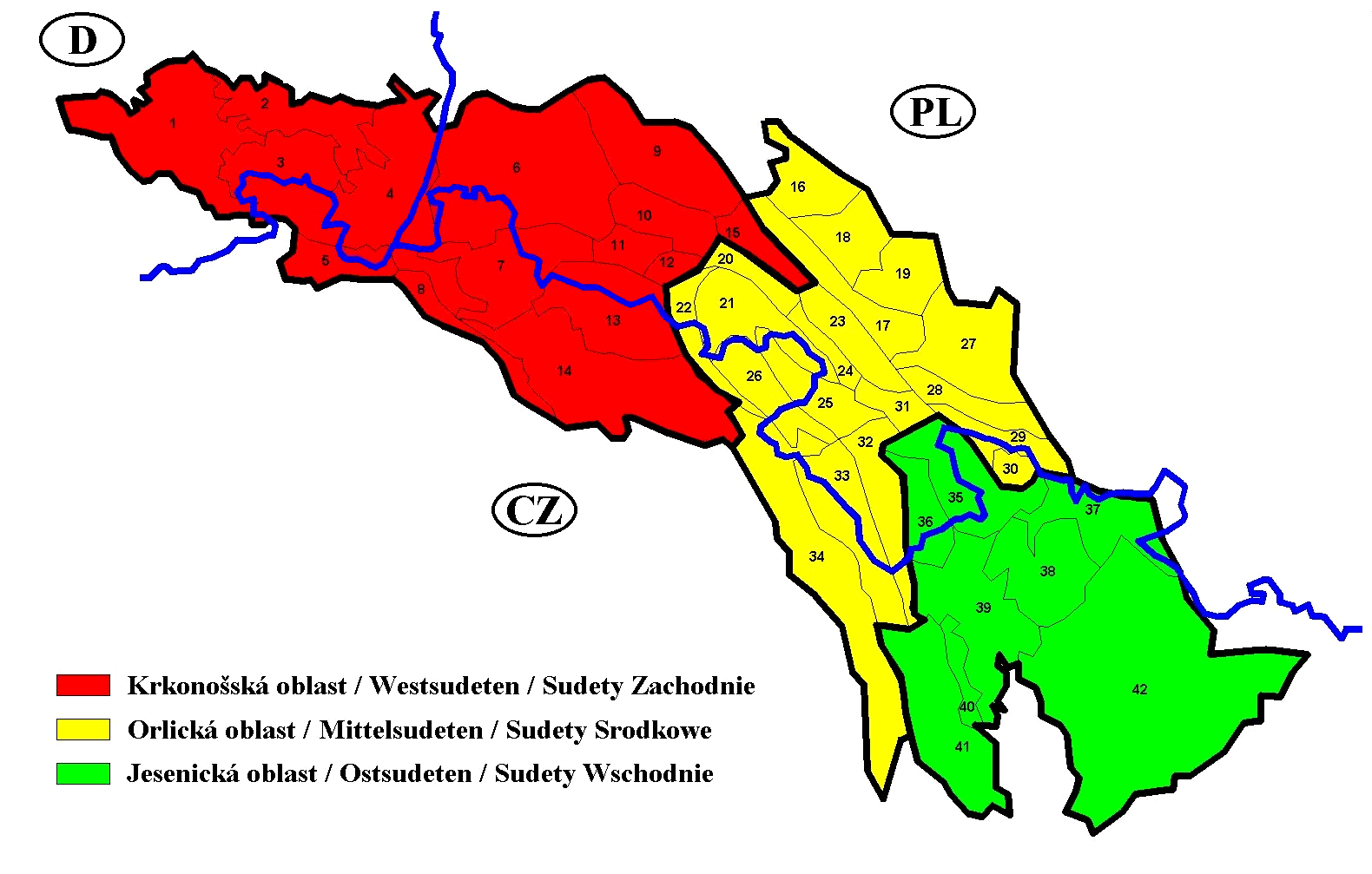
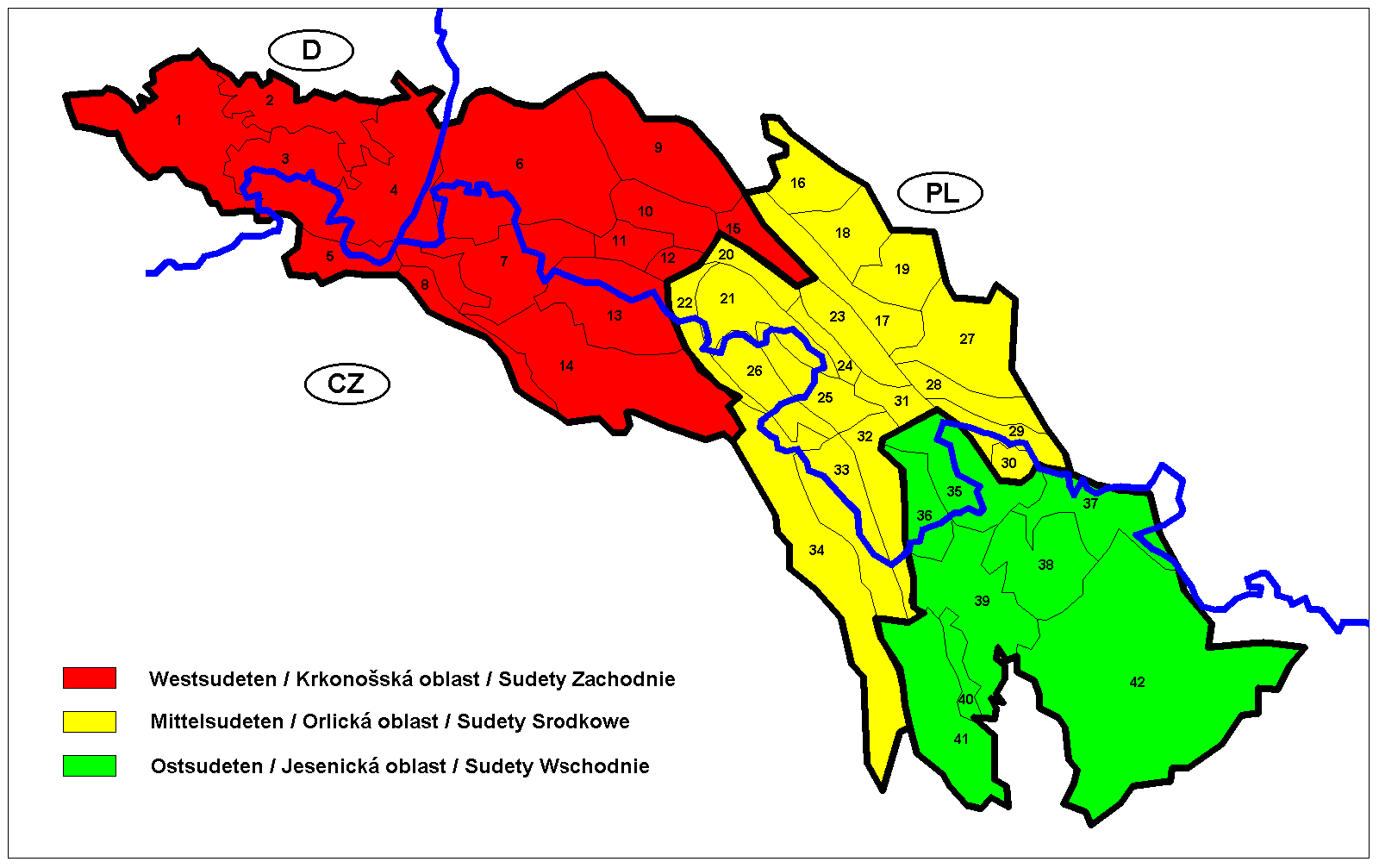

The ridge of the Karkonosze runs along the Czech–Polish border at just over 1,600 metres, and on a clear morning from Śnieżka you can see the plains of two countries spread out below you. This is the highest ground in the Sudeten range, and the park that protects it — formally established in 1959, covering 55.8 square kilometres — draws close to two million visitors a year. Trails fan out across the plateau past named rock formations (Pilgrims, Sunflower, Three Pigs), two waterfalls, scattered mountain huts, and a Norwegian stave church in Karpacz that was shipped from Scandinavia and rebuilt here in 1842, its entire structure held together without a single nail.
The gateway towns of Szklarska Poręba and Karpacz sit at the foot of the ridge and each has a cable car to the upper slopes. Jelenia Góra, about 90,000 people, handles the regional transport connections and is the practical base if you want a proper bed between days in the hills.
💛 What travellers fall for
Regulars tend to time their visits for midweek in September: the summer crowds have thinned, the ridge light goes golden in the afternoon, and the mountain huts still have beds. Most will tell you to take the cable car up from Szklarska Poręba and walk the ridge east toward Śnieżka rather than the reverse — the wind is usually at your back.
How Sudeten Mountains (Karkonosze) came to be
Sandstone quarrying and a timber trade tied to nearby metallurgical industries shaped the Sudetes economy through the 18th and 19th centuries. By the 1880s, tourism had taken hold: in 1880 the Riesengebirges Verein — the Karkonosze Union — was founded in Jelenia Góra to organise access to the mountains on both the Austrian and German sides of the then-divided range. The oldest shelter on the ridge, the Meadow Hut, traces its lineage to a pilgrim farm that stood along the Silesian Road as far back as 1625.
The 20th century rewrote the human geography entirely. After 1945, the Potsdam Agreement and the Beneš decrees led to the forced expulsion of most of the region's German-speaking population; the mountains were resettled by Polish and Czechoslovak citizens. In 1990, the presidents of the newly free Poland and Czechoslovakia met at the Karkonosze pass — the Przełęcz Karkonoska — to mark the crossing of a border that had long been more wall than ridge.
Who and what shaped it
People who shaped it
Landmark buildings
See Sudeten Mountains (Karkonosze) in motion
Plan your visit
On the map
When to go
Summers on the upper ridge are short and changeable — temperatures can drop and cloud roll in within the hour even in July and August. Winter brings reliable snow and a quieter, harder-edged version of the landscape; spring and autumn offer the clearest skies but require layers at elevation.
Right now
Background & history adapted from Wikipedia (CC BY-SA) · specs from Wikidata (CC0) · weather from Open-Meteo · map data © OpenStreetMap contributors · photos from Wikimedia Commons / Unsplash with per-image credit. No third-party reviews or social posts reproduced.