
Storms River

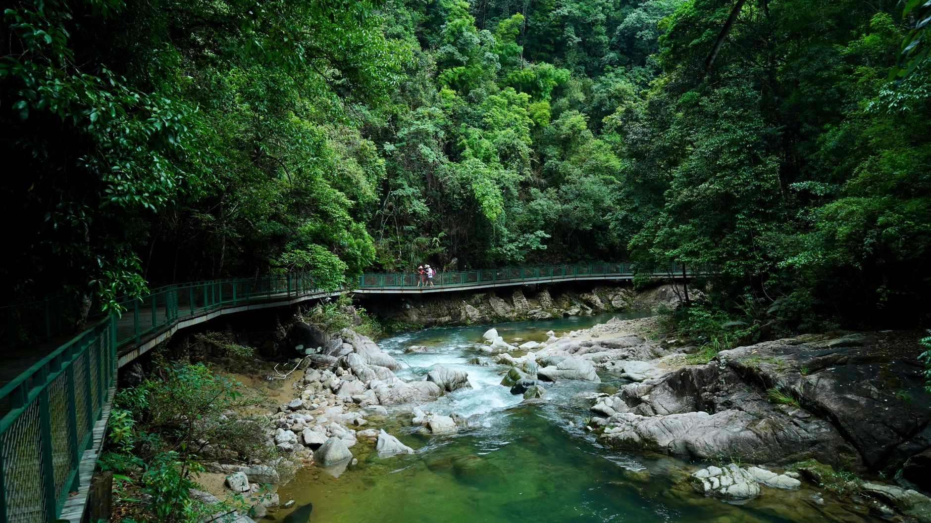

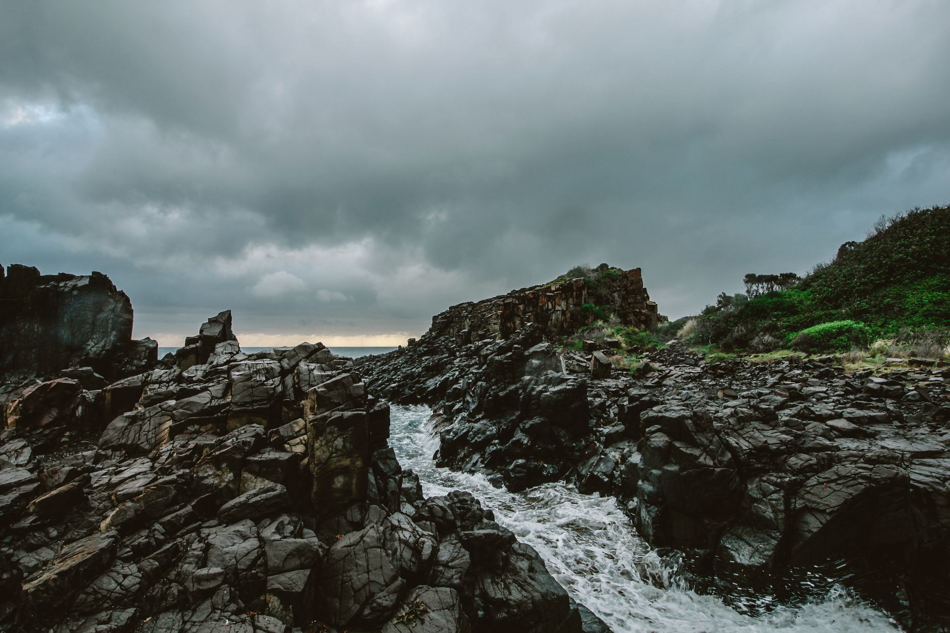
Storms River sits at a point where the Garden Route runs out of easy ground. The Tsitsikamma forest closes in on either side of the N2, the river cuts a dark gorge down to the Indian Ocean, and the village — small enough to walk end to end in minutes — feels less like a destination than a base camp for the landscape around it. That landscape earns the attention: ancient yellowwood trees, a coast of black rocks and white water, and a river that moves fast even when the rest of the world is quiet.
Two bridges frame the place. The Paul Sauer Bridge carries the highway over the gorge in a single concrete arch. A few kilometres west, inside Tsitsikamma National Park, a 77-metre suspension bridge hangs just seven metres above the river mouth — check its current status before you go, as reconstruction work was ongoing in mid-2026.
💛 What travellers fall for
People who come back tend to mention the same things: doing the Storms River Mouth trail early, before other visitors arrive, when the light is low and the forest still damp. And eating at the Tsitsikamma Village Inn at least once — partly for the history of the old Duthie lodge, partly because after a day on the water, somewhere that solid feels right.
Deals in Storms River
Book directly at the provider
How Storms River came to be
The story of Storms River starts with road builders. Lt TH Duthie put up a shooting box here in 1841, and the Duthie family later built a hunting lodge that still stands — now trading as the Tsitsikamma Village Inn. The real turning point came in 1879, when Thomas Bain surveyed a pass through the gorge. The work was done largely by convict labour, the pass completed by 1884, and the village formally declared a crown settlement in 1885.
The twentieth century added engineering of a different scale. Riccardo Morandi's concrete arch Paul Sauer Bridge opened in 1955, spanning the gorge in 328 feet of arch. The suspension bridge at the river mouth followed in 1969. The Bloukrans Bridge, a few kilometres west, opened in 1984 as the world's highest concrete arch bridge — a record it held at the time.
Who and what shaped it
People who shaped it
Landmark buildings
See Storms River in motion
Plan your visit
On the map
When to go
The climate is mild year-round, with enough consistent rainfall to keep the forest genuinely green rather than performatively so. Winters (June to September) are the coolest and occasionally the driest, with midday temperatures around 17°C and nights that can drop below 10°C — worth packing a layer for.
Right now
Background & history adapted from Wikipedia (CC BY-SA) · specs from Wikidata (CC0) · weather from Open-Meteo · map data © OpenStreetMap contributors · photos from Wikimedia Commons / Unsplash with per-image credit. No third-party reviews or social posts reproduced.