
Speyside, Tobago
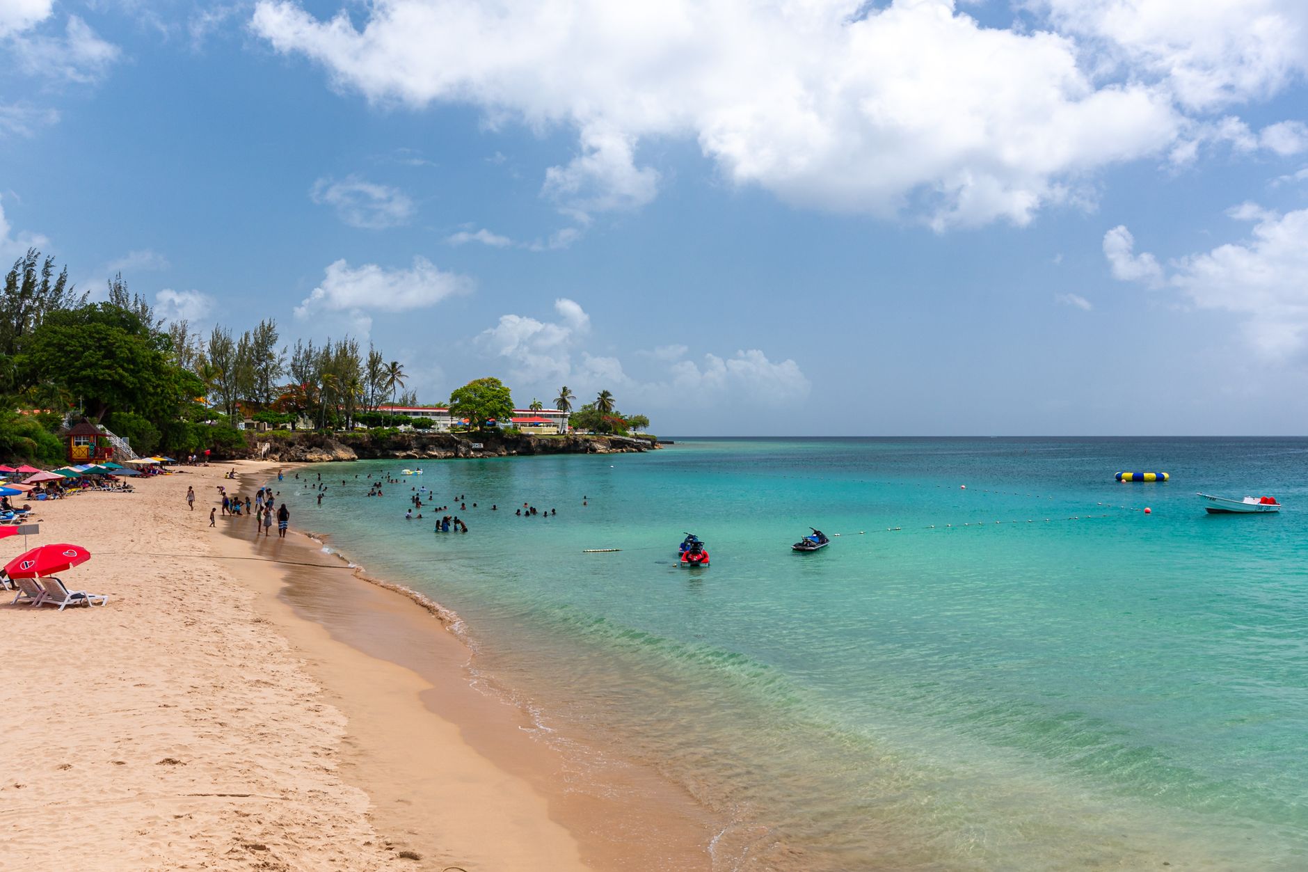

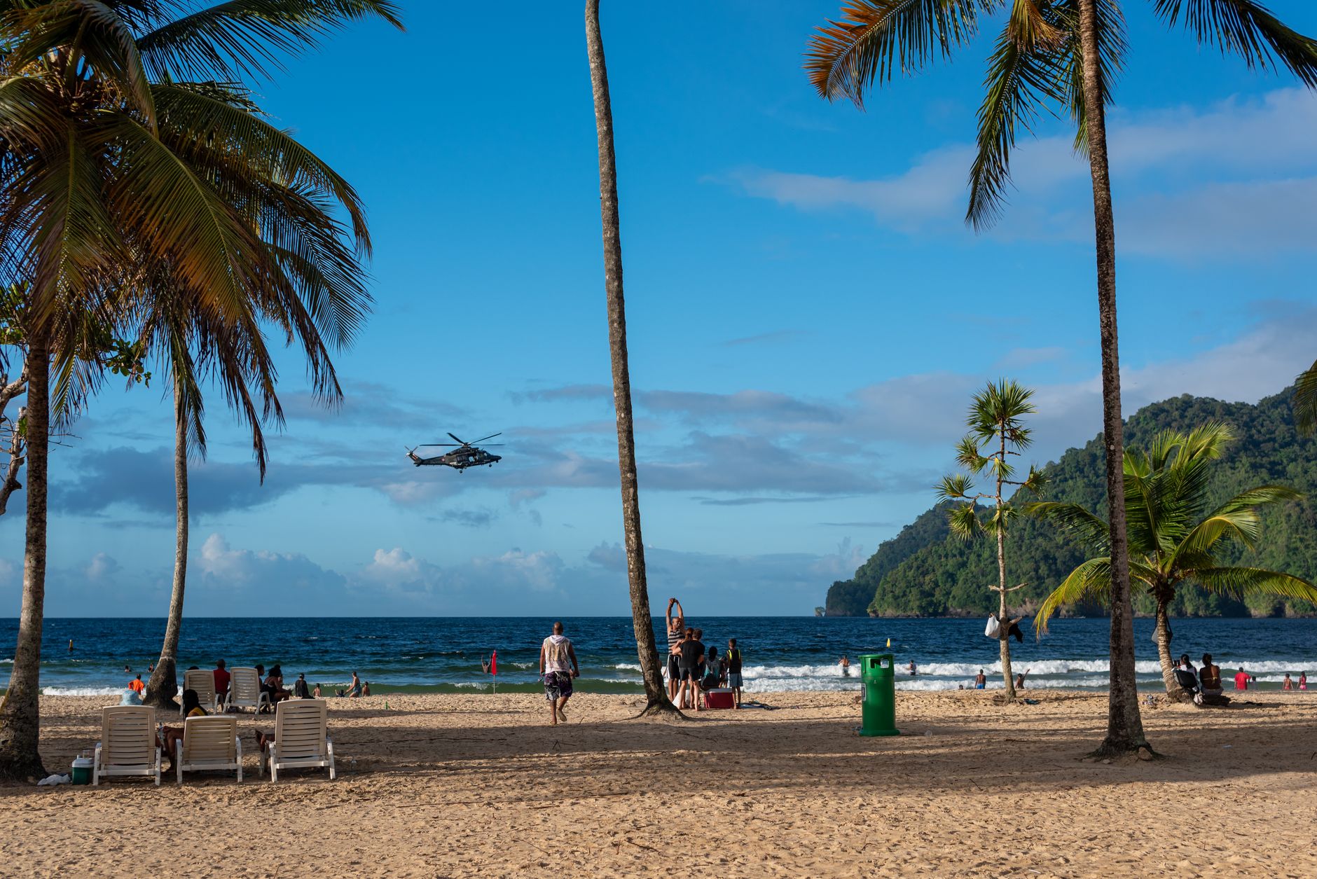
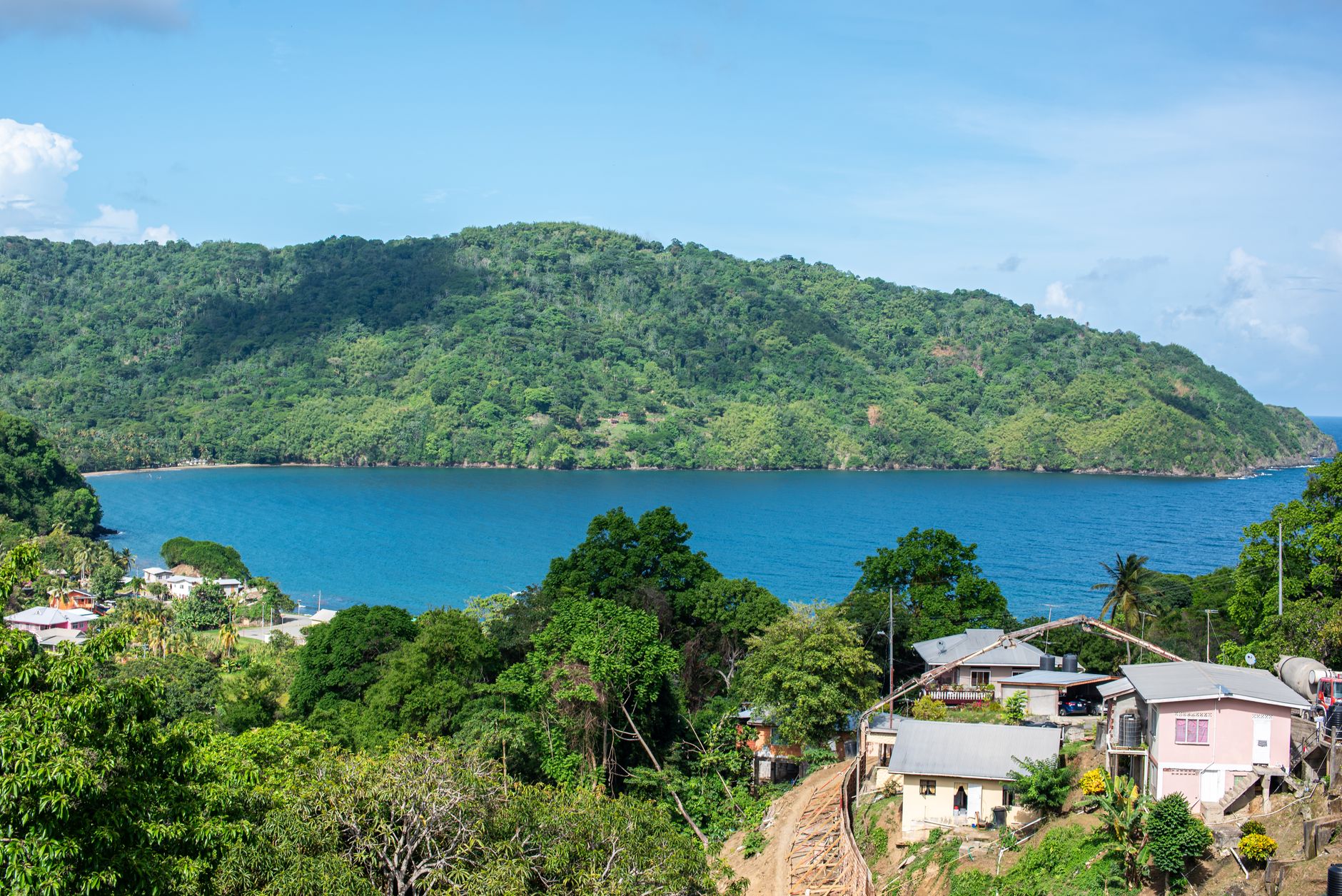
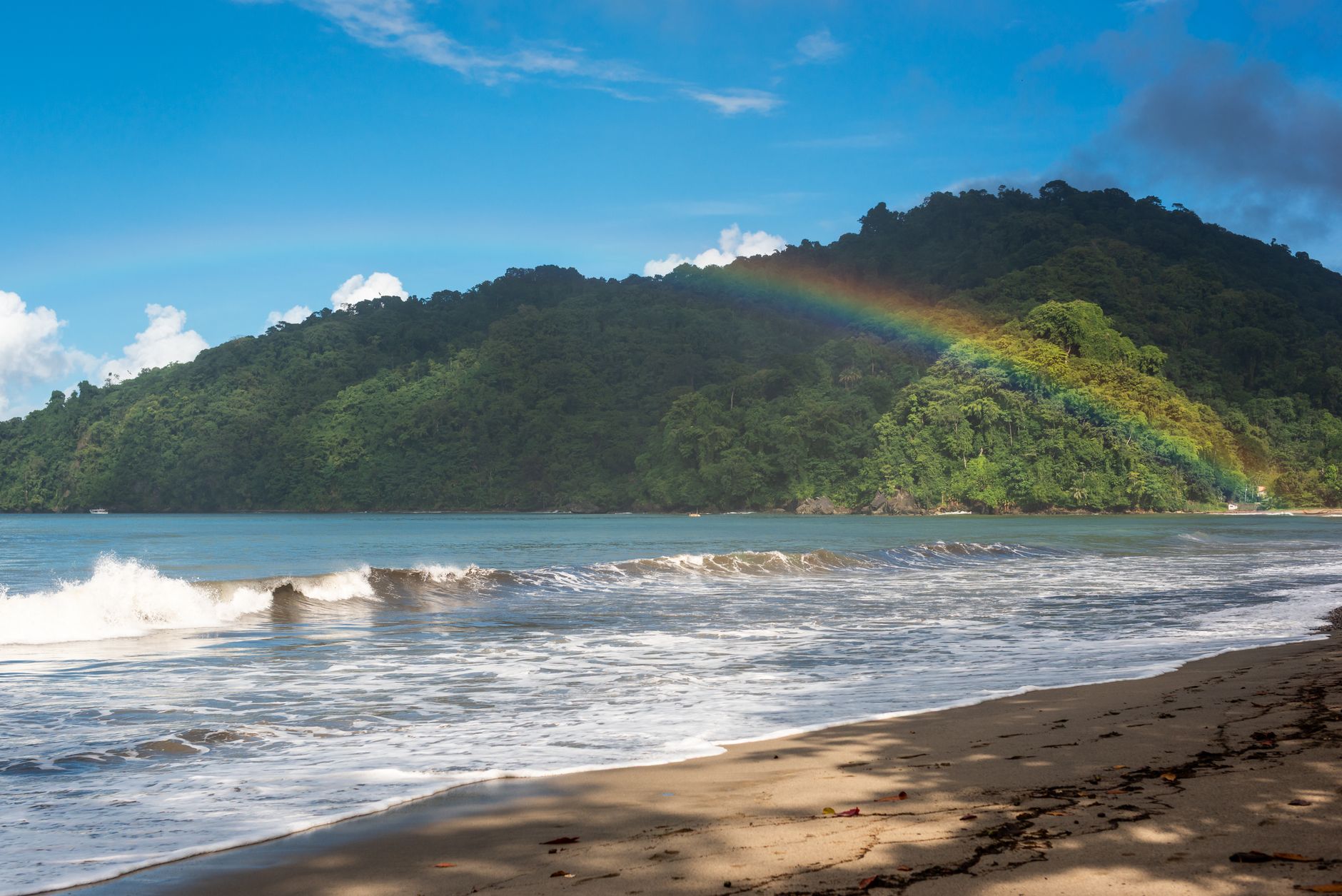
Speyside sits at the northeastern tip of Tobago where the Atlantic meets the Caribbean, and the water here is a different proposition from the calm western beaches — deeper, richer, full of current. From the lookout above the village you can see Little Tobago Island floating in the bay, and below it, though you can't see it from here, a brain coral the size of a small car that Guinness has officially recognised as the world's largest single colony.
The village is small and unhurried, backed by the Main Ridge Forest Reserve — the oldest legally protected forest in the Western Hemisphere. Divers come for the reef at Kelleston Drain and the artificial wreck in Batteaux Bay. Birders come for Little Tobago. Most people end up staying longer than they planned.
💛 What travellers fall for
Return visitors tend to mention two things: the glass-bottom boats that cross to Little Tobago in the early morning before the light gets harsh, and Jemma's Seaview Kitchen, perched in a tree above the water. Book a table before you arrive — the word is out, and the lunch crowd fills it fast.
How Speyside, Tobago came to be
The land around Speyside was recorded as a working sugar estate as early as 1773, and the waterwheel and stone walls of that factory still stand on site — one of the better-preserved industrial ruins on this end of the island. Scottish estate managers left their mark in the surnames of long-standing local families: Denoon, Davidson, Spencer, Cordner.
Tobago's first hotel grew from the old plantation house after an Englishman named Guinness bought the estate and converted it; it eventually passed to Egbert Lau and became the Blue Waters Inn, still operating on Batteaux Bay. In the 1940s a WWI and WWII veteran named Commander Alford, granted land here after the war, ran a guesthouse with his wife. The Manta Lodge followed, established by the Robinson family as a dive resort. The pattern of the place — plantation land repurposed, slowly, into somewhere people come to rest — runs through all of it.
Who and what shaped it
People who shaped it
Landmark buildings
See Speyside, Tobago in motion
Plan your visit
On the map
When to go
Temperatures barely move across the year, sitting between 28°C in February and 30°C in September, but rainfall tells a different story. The dry season runs January to May, with March the driest month of all; November is the wettest, with rain on roughly three weeks out of four. If you're here in the wet season, mornings tend to be clearer — plan dives and hikes early.
Right now
Background & history adapted from Wikipedia (CC BY-SA) · specs from Wikidata (CC0) · weather from Open-Meteo · map data © OpenStreetMap contributors · photos from Wikimedia Commons / Unsplash with per-image credit. No third-party reviews or social posts reproduced.